2010s Maps of Powers Gore, Maine
Explore 17 historic maps of Powers Gore from the 2010s. These maps offer a rare glimpse into what life looked like during the 2010s — showing old roads, neighborhoods, homes, and landmarks that have changed or disappeared over time.
Whether you're researching your family's past, planning a metal detecting trip, or studying how Powers Gore's landscape evolved across the 2010s, these high-resolution maps are a powerful tool for exploring the history of this region.
- Focus on a specific era: All maps on this page are from the 2010s, giving you a focused view of this time period.
- See what’s changed: Compare century-old streets, trails, and buildings to today's modern landscape using overlays and satellite layers.
- Research with precision: Use these maps for genealogy, historical research, land use analysis, or educational projects.
- View, download, or print: Maps are fully viewable online in high resolution, and can be downloaded or printed for your own records.
Start exploring Powers Gore's history through authentic maps from the 2010s. This is your window into the past.
Powers Gore, ME maps
(17)- 2011 Map of Daaquam, 2011 Print
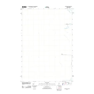 2011 Daaquam2011 Print · USGSThe international borderlands of Maine and Quebec are captured here in the early twenty-first century, showcasing a landscape of dense timberlands and river crossings. Genealogists and historians can trace the Sainte Juste Checkpoint and industrial routes like Boise Cascade Rd near the Daaquam River.
 - 2011 Map of Burntland Pond, 2011 Print
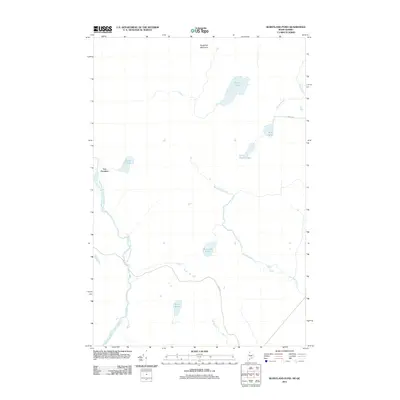 2011 Burntland Pond2011 Print · USGSThe Maine-Quebec borderlands are captured here in the early twenty-first century, showing a remote landscape of timber and water. You can trace the Northwest Branch Saint John River and find isolated water bodies like Presley Lake and Burntland Pond.
 - 2011 Map of Eastman Brook, 2011 Print
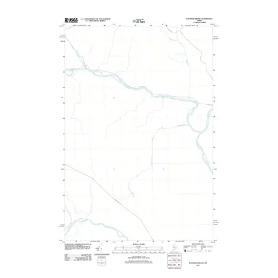 2011 Eastman Brook2011 Print · USGSDeep in the Somerset County timberlands during the early 2010s, this area centers on the confluence of the north and south branches of the Saint John River. Map collectors and historians can trace industrial forest routes like Boise Cascade Rd and follow the remote paths of the Daaquam River and Eastman Brook.
 - 2011 Map of Beaver Pond SE, 2011 Print
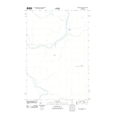 2011 Beaver Pond SE2011 Print · USGSBig Ten Township in Somerset County remains a critical hub for Maine's river-based timber economy during the early twenty-first century. Researchers can trace the logging network along Depot Rd and locate landmarks like the Ross Mountain Lookout Tower or the Moody Bridge.
 - 2011 Map of Burntland Pond OE W, 2011 Print
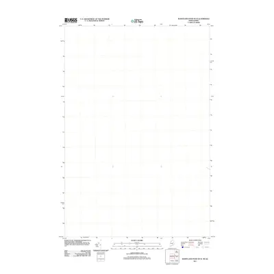 2011 Burntland Pond OE W2011 Print · USGSCovers Powers Gore, including Saint-Just-de-Bretenières, Lac-Frontière, and other nearby areas
 - 2011 Map of Mary L Pond, 2011 Print
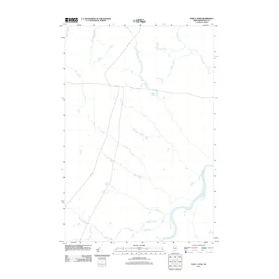 2011 Mary L Pond2011 Print · USGSNorthern Maine's timberlands are captured here in the early twenty-first century, showing the remote intersection of industrial forest roads and river systems. Researchers can trace the path of the Saint John River and locate the secluded Mary L Pond alongside Depot Rd.
 - 2014 Map of Beaver Pond SE, 2014 Print
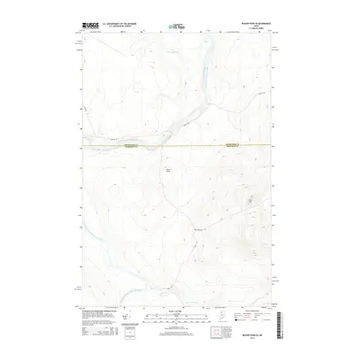 2014 Beaver Pond SE2014 Print · USGSSomerset County, Maine, is mapped here in 2014, showing the remote logging interior along the border with Aroostook County. Trace the paths of timber transport across Moody Bridge and through the highlands surrounding Ross Mtn and Ledge Rapids.
 - 2014 Map of Burntland Pond, 2014 Print
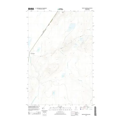 2014 Burntland Pond2014 Print · USGSThe international border between Maine and Quebec comes into focus in this recent survey of the North Woods. Genealogists and researchers can trace the waterways around Lac Frontiere and follow remote routes like Number 1 Rd toward Sugarloaf Mtn.
 - 2014 Map of Eastman Brook, 2014 Print
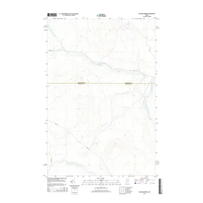 2014 Eastman Brook2014 Print · USGSThe Maine North Woods at the Somerset and Aroostook county line are shown here as they appeared in 2014. Researchers can trace timber industry routes like Reality Rd and Depot Rd along the Northwest Branch Saint John River.
 - 2014 Map of Mary L Pond, 2014 Print
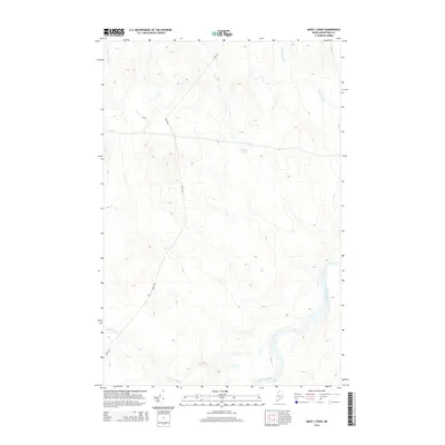 2014 Mary L Pond2014 Print · USGSUpper Aroostook County remains a wilderness dominated by the Saint John River and deep forest tracks in the early twenty-first century. Researchers can trace the logging infrastructure along Depot Rd and locate remote water bodies like Mary L Pond.
 - 2014 Map of Daaquam, 2014 Print
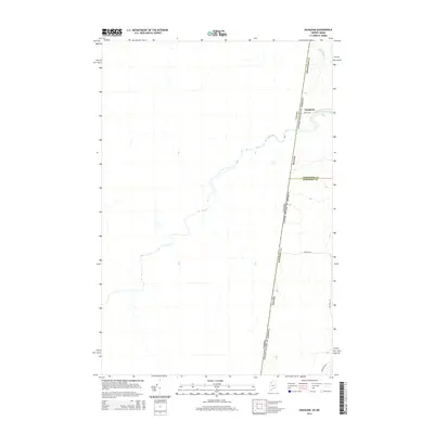 2014 Daaquam2014 Print · USGSThe Maine-Quebec borderlands come into focus in 2014, showing the remote intersection of international boundaries and northern timberlands. Researchers can trace the layout of the Daaquam settlement and the winding course of the Daaquam River and Otter Brook.
 - 2014 Map of Burntland Pond OE W, 2014 Print
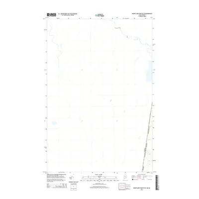 2014 Burntland Pond OE W2014 Print · USGSThe northern borderlands of the Maine-Quebec frontier are captured here in the early twenty-first century. Researchers can trace the international boundary line of the Canada United States of America as it cuts through the remote forests of Aroostook Co and Maine.
 - 2018 Map of Mary L Pond, 2018 Print
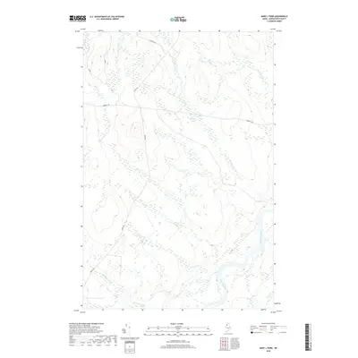 2018 Mary L Pond2018 Print · USGSAroostook County's North Woods are mapped in detail during this recent era of timber management and forest navigation. Researchers can trace the remote logging road network from Depot Rd to Mary L Pond and the banks of the Saint John River.
 - 2018 Map of Eastman Brook, 2018 Print
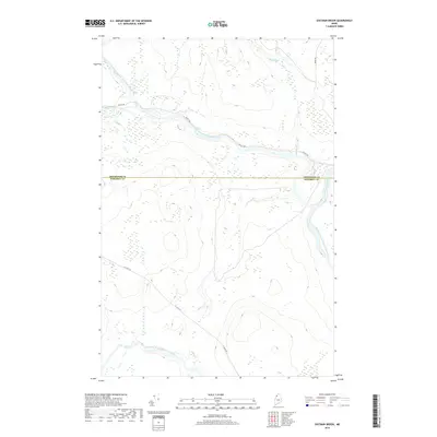 2018 Eastman Brook2018 Print · USGSBig Ten Township and the border of Aroostook County are seen here in the late 2010s, centered on the upper reaches of the St. John River system. Researchers can trace remote logging routes like Realty Rd and the junction of the Daaquam River with the Northwest Branch Saint John River.
 - 2018 Map of Beaver Pond SE, 2018 Print
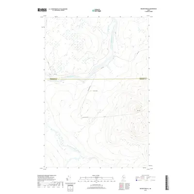 2018 Beaver Pond SE2018 Print · USGSThe Maine North Woods in the late 2010s remain a landscape defined by timber roads and the great river forks. Follow the logging routes of Realty Rd to Ledge Rapids and the crossing at Moody Bridge to trace the region's enduring industrial geography.
 - 2018 Map of Burntland Pond OE W, 2018 Print
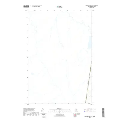 2018 Burntland Pond OE W2018 Print · USGSAroostook County, Maine, sits at the edge of the international frontier in this recent survey. Researchers can trace the precise path of the Canada United States of America border as it cuts through the forest near Maine Aroostook Co.
 - 2018 Map of Burntland Pond, 2018 Print
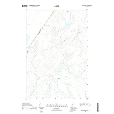 2018 Burntland Pond2018 Print · USGSThe Maine-Quebec borderlands come into focus in this late-decade survey of the remote North Woods. Researchers can trace the international boundary near Lac Frontière and follow the logging routes passing Sugarloaf Mtn and the Northwest Branch Saint John River.
End of results
Showing maps 1-17 of 17
Top neighborhoods of Powers Gore
Frequently asked questions
- What are the different types of historical maps available for Powers Gore?
- What is the oldest map of Powers Gore?
- Where can I purchase historical maps of Powers Gore for my home or office?
- Where can I download high-res historical maps of Powers Gore?
- Are there historical topographic maps available for Powers Gore?
- Is there historical aerial imagery available for Powers Gore?
- Where are historical maps of Powers Gore sourced from?