2000s (21st Century) Maps of Presque Isle, Maine
Explore 30 historic maps of Presque Isle from the 2000s (21st Century). These maps offer a rare glimpse into what life looked like during the 2000s — showing old roads, neighborhoods, homes, and landmarks that have changed or disappeared over time.
Whether you're researching your family's past, planning a metal detecting trip, or studying how Presque Isle's landscape evolved across the 2000s, these high-resolution maps are a powerful tool for exploring the history of this region.
- Focus on a specific era: All maps on this page are from the 2000s, giving you a focused view of this time period.
- See what’s changed: Compare century-old streets, trails, and buildings to today's modern landscape using overlays and satellite layers.
- Research with precision: Use these maps for genealogy, historical research, land use analysis, or educational projects.
- View, download, or print: Maps are fully viewable online in high resolution, and can be downloaded or printed for your own records.
Start exploring Presque Isle's history through authentic maps from the 2000s. This is your window into the past.
Presque Isle, ME maps
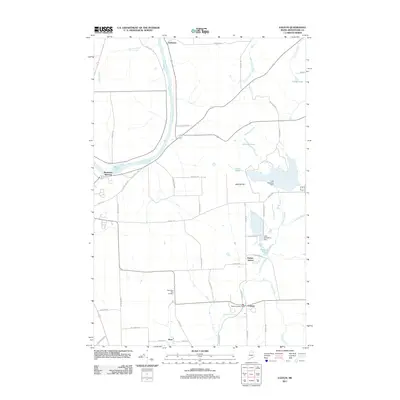
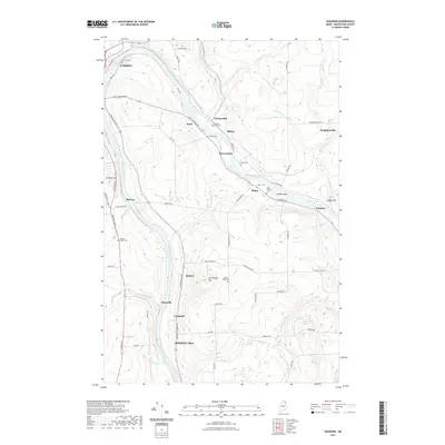
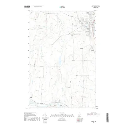
(30)- 2011 Map of Caribou, 2011 Print
 2011 Caribou2011 Print · USGSCovers Presque Isle, including Caribou, Washburn, and other nearby areas
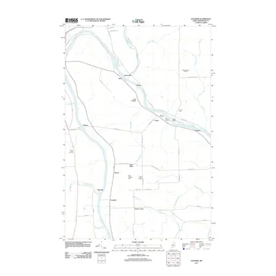
 - 2011 Map of Easton, 2011 Print
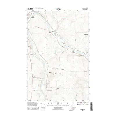
 2011 Easton2011 Print · USGSCovers Presque Isle, including Fort Fairfield, Easton, and other nearby areas
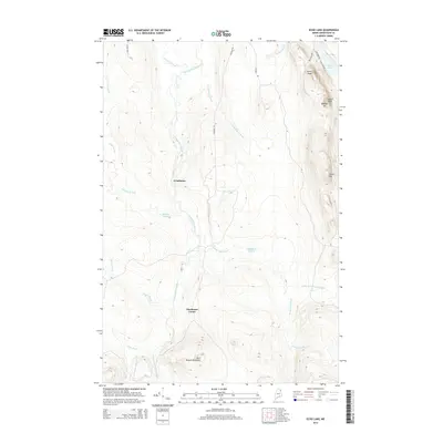
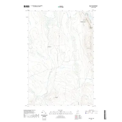
 - 2011 Map of Echo Lake, 2011 Print
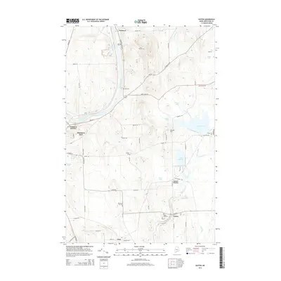
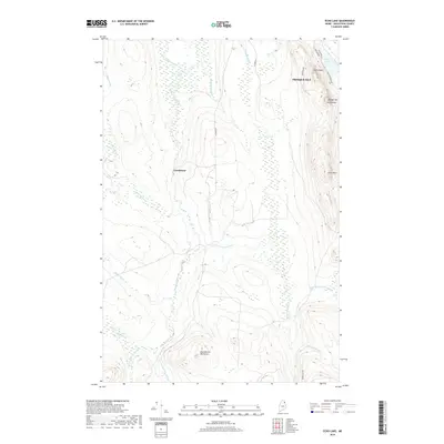
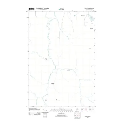 2011 Echo Lake2011 Print · USGSCovers Presque Isle, including Chapman, Westfield, and other nearby areas
 - 2011 Map of Goodwin, 2011 Print
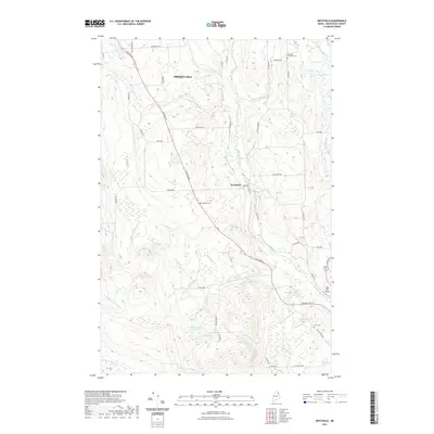
 2011 Goodwin2011 Print · USGSCovers Presque Isle, including Caribou, Fort Fairfield, and other nearby areas
 - 2011 Map of Westfield, 2011 Print
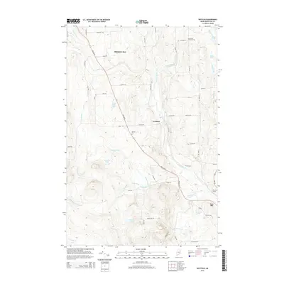
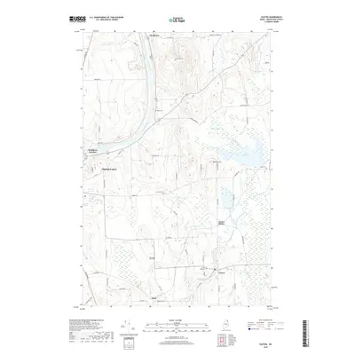
 2011 Westfield2011 Print · USGSCovers Presque Isle, including Mars Hill, Easton, and other nearby areas
 - 2011 Map of Presque Isle, 2011 Print
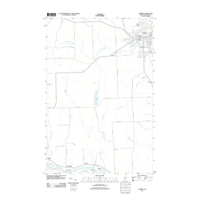
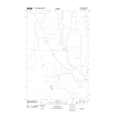
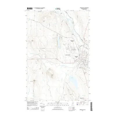
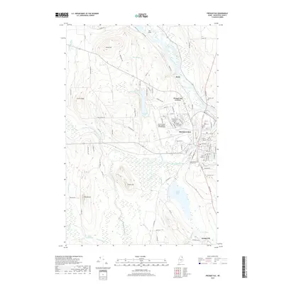
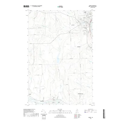
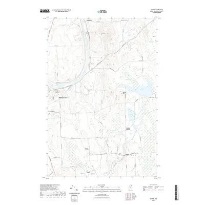
 2011 Presque Isle2011 Print · USGSCovers Presque Isle, including Mapleton, Washburn, and other nearby areas
 - 2014 Map of Echo Lake, 2014 Print
 2014 Echo Lake2014 Print · USGSCovers Presque Isle, including Chapman, Westfield, and other nearby areas
 - 2014 Map of Caribou, 2014 Print
 2014 Caribou2014 Print · USGSCovers Presque Isle, including Caribou, Washburn, and other nearby areas
 - 2014 Map of Presque Isle, 2014 Print
 2014 Presque Isle2014 Print · USGSCovers Presque Isle, including Mapleton, Washburn, and other nearby areas
 - 2014 Map of Easton, 2014 Print
 2014 Easton2014 Print · USGSCovers Presque Isle, including Fort Fairfield, Easton, and other nearby areas
 - 2014 Map of Westfield, 2014 Print
 2014 Westfield2014 Print · USGSCovers Presque Isle, including Mars Hill, Easton, and other nearby areas
 - 2014 Map of Goodwin, 2014 Print
 2014 Goodwin2014 Print · USGSCovers Presque Isle, including Caribou, Fort Fairfield, and other nearby areas
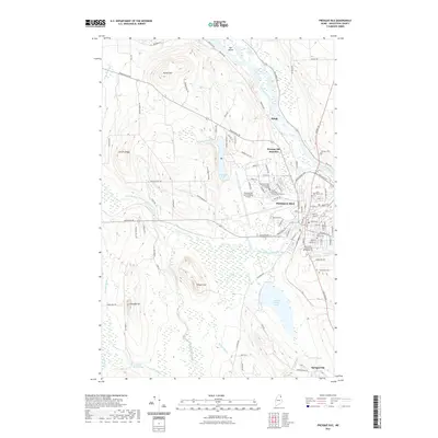
 - 2018 Map of Presque Isle, 2018 Print
 2018 Presque Isle2018 Print · USGSCovers Presque Isle, including Mapleton, Washburn, and other nearby areas
 - 2018 Map of Echo Lake, 2018 Print
 2018 Echo Lake2018 Print · USGSCovers Presque Isle, including Chapman, Westfield, and other nearby areas
 - 2018 Map of Westfield, 2018 Print
 2018 Westfield2018 Print · USGSCovers Presque Isle, including Mars Hill, Easton, and other nearby areas
 - 2018 Map of Goodwin, 2018 Print
 2018 Goodwin2018 Print · USGSCovers Presque Isle, including Caribou, Fort Fairfield, and other nearby areas
 - 2018 Map of Caribou, 2018 Print
 2018 Caribou2018 Print · USGSCovers Presque Isle, including Caribou, Washburn, and other nearby areas
 - 2018 Map of Easton, 2018 Print
 2018 Easton2018 Print · USGSCovers Presque Isle, including Fort Fairfield, Easton, and other nearby areas
 - 2021 Map of Goodwin, 2021 Print
 2021 Goodwin2021 Print · USGSCovers Presque Isle, including Caribou, Fort Fairfield, and other nearby areas
 - 2021 Map of Westfield, 2021 Print
 2021 Westfield2021 Print · USGSCovers Presque Isle, including Mars Hill, Easton, and other nearby areas
 - 2021 Map of Easton, 2021 Print
 2021 Easton2021 Print · USGSCovers Presque Isle, including Fort Fairfield, Easton, and other nearby areas
 - 2021 Map of Echo Lake, 2021 Print
 2021 Echo Lake2021 Print · USGSCovers Presque Isle, including Chapman, Westfield, and other nearby areas
 - 2021 Map of Caribou, 2021 Print
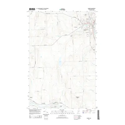
 2021 Caribou2021 Print · USGSCovers Presque Isle, including Caribou, Washburn, and other nearby areas
 - 2021 Map of Presque Isle, 2021 Print
 2021 Presque Isle2021 Print · USGSCovers Presque Isle, including Mapleton, Washburn, and other nearby areas
 - 2024 Map of Caribou, 2024 Print
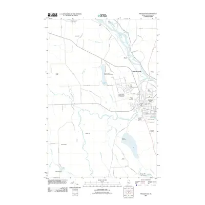
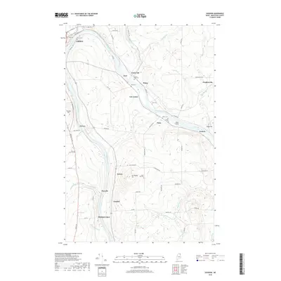
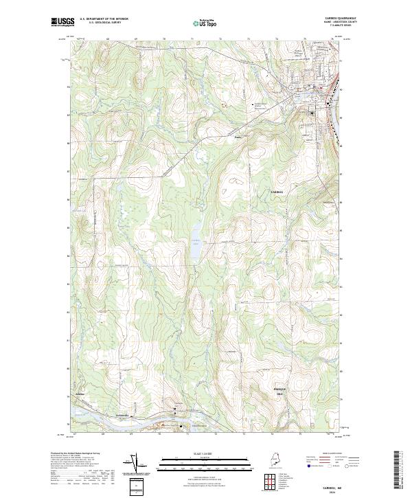 2024 Caribou2024 Print · USGSUpper Maine’s agricultural and riverside life comes into focus in this recent survey of the area surrounding Caribou. Local historians can trace old property boundaries and civic landmarks like the Caribou Court House or find family sites at Evergreen Cem and Crouseville Cem.
Showing maps 1-25 of 30
Top cities near Presque Isle
- Caribou historical maps
- Fort Fairfield historical maps
- Mapleton historical maps
- Washburn historical maps
- Limestone historical maps
- Mars Hill historical maps
See more
Top neighborhoods of Presque Isle
- Sawyer Corner historical maps
- Parkhurst historical maps
- Washburn Junction historical maps
- Rands historical maps
- Campbell historical maps
- Spragueville historical maps
See more
Frequently asked questions
- What are the different types of historical maps available for Presque Isle?
- What is the oldest map of Presque Isle?
- Where can I purchase historical maps of Presque Isle for my home or office?
- Where can I download high-res historical maps of Presque Isle?
- Are there historical topographic maps available for Presque Isle?
- Is there historical aerial imagery available for Presque Isle?
- Where are historical maps of Presque Isle sourced from?