2000s (21st Century) Maps of Reed Plantation, Maine
Explore 25 historic maps of Reed Plantation from the 2000s (21st Century). These maps offer a rare glimpse into what life looked like during the 2000s — showing old roads, neighborhoods, homes, and landmarks that have changed or disappeared over time.
Whether you're researching your family's past, planning a metal detecting trip, or studying how Reed Plantation's landscape evolved across the 2000s, these high-resolution maps are a powerful tool for exploring the history of this region.
- Focus on a specific era: All maps on this page are from the 2000s, giving you a focused view of this time period.
- See what’s changed: Compare century-old streets, trails, and buildings to today's modern landscape using overlays and satellite layers.
- Research with precision: Use these maps for genealogy, historical research, land use analysis, or educational projects.
- View, download, or print: Maps are fully viewable online in high resolution, and can be downloaded or printed for your own records.
Start exploring Reed Plantation's history through authentic maps from the 2000s. This is your window into the past.
Reed Plantation, ME maps
(25)- 2011 Map of Alder Brook, 2011 Print
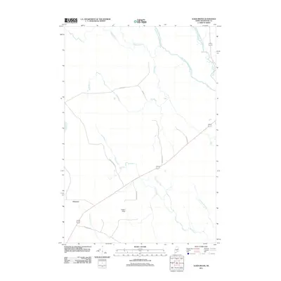 2011 Alder Brook2011 Print · USGSCovers Reed Plantation, including Haynesville, Glenwood Plantation, and other nearby areas
 - 2011 Map of Kingman, 2011 Print
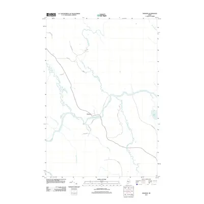 2011 Kingman2011 Print · USGSCovers Reed Plantation, including Mattawamkeag, Prentiss Township, and other nearby areas
 - 2011 Map of Reed Pond, 2011 Print
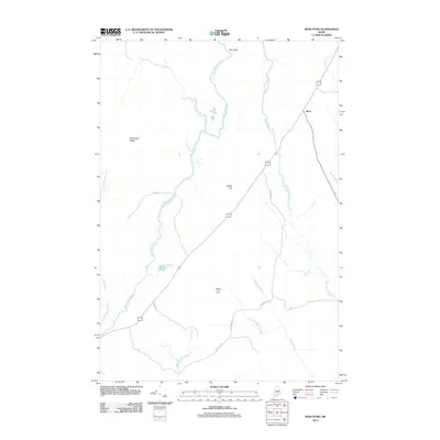 2011 Reed Pond2011 Print · USGSCovers Reed Plantation, including Reed, Macwahoc Plantation, and other nearby areas
 - 2011 Map of Wytopitlock Lake, 2011 Print
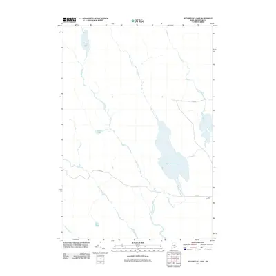 2011 Wytopitlock Lake2011 Print · USGSCovers Reed Plantation, including Glenwood Plantation, T3 R4 WELS, and other nearby areas
 - 2011 Map of Wytopitlock, 2011 Print
 2011 Wytopitlock2011 Print · USGSCovers Reed Plantation, including Haynesville, Bancroft Township, and other nearby areas
 - 2014 Map of Wytopitlock Lake, 2014 Print
 2014 Wytopitlock Lake2014 Print · USGSCovers Reed Plantation, including Glenwood Plantation, T3 R4 WELS, and other nearby areas
 - 2014 Map of Wytopitlock, 2014 Print
 2014 Wytopitlock2014 Print · USGSCovers Reed Plantation, including Haynesville, Bancroft Township, and other nearby areas
 - 2014 Map of Kingman, 2014 Print
 2014 Kingman2014 Print · USGSCovers Reed Plantation, including Mattawamkeag, Prentiss Township, and other nearby areas
 - 2014 Map of Alder Brook, 2014 Print
 2014 Alder Brook2014 Print · USGSCovers Reed Plantation, including Haynesville, Glenwood Plantation, and other nearby areas
 - 2014 Map of Reed Pond, 2014 Print
 2014 Reed Pond2014 Print · USGSCovers Reed Plantation, including Reed, Macwahoc Plantation, and other nearby areas
 - 2018 Map of Reed Pond, 2018 Print
 2018 Reed Pond2018 Print · USGSCovers Reed Plantation, including Reed, Macwahoc Plantation, and other nearby areas
 - 2018 Map of Alder Brook, 2018 Print
 2018 Alder Brook2018 Print · USGSCovers Reed Plantation, including Haynesville, Glenwood Plantation, and other nearby areas
 - 2018 Map of Kingman, 2018 Print
 2018 Kingman2018 Print · USGSCovers Reed Plantation, including Mattawamkeag, Prentiss Township, and other nearby areas
 - 2018 Map of Wytopitlock, 2018 Print
 2018 Wytopitlock2018 Print · USGSCovers Reed Plantation, including Haynesville, Bancroft Township, and other nearby areas
 - 2018 Map of Wytopitlock Lake, 2018 Print
 2018 Wytopitlock Lake2018 Print · USGSCovers Reed Plantation, including Glenwood Plantation, T3 R4 WELS, and other nearby areas
 - 2021 Map of Wytopitlock Lake, 2021 Print
 2021 Wytopitlock Lake2021 Print · USGSCovers Reed Plantation, including Glenwood Plantation, T3 R4 WELS, and other nearby areas
 - 2021 Map of Reed Pond, 2021 Print
 2021 Reed Pond2021 Print · USGSCovers Reed Plantation, including Reed, Macwahoc Plantation, and other nearby areas
 - 2021 Map of Kingman, 2021 Print
 2021 Kingman2021 Print · USGSCovers Reed Plantation, including Mattawamkeag, Prentiss Township, and other nearby areas
 - 2021 Map of Wytopitlock, 2021 Print
 2021 Wytopitlock2021 Print · USGSCovers Reed Plantation, including Haynesville, Bancroft Township, and other nearby areas
 - 2021 Map of Alder Brook, 2021 Print
 2021 Alder Brook2021 Print · USGSCovers Reed Plantation, including Haynesville, Glenwood Plantation, and other nearby areas
 - 2024 Map of Wytopitlock, 2024 Print
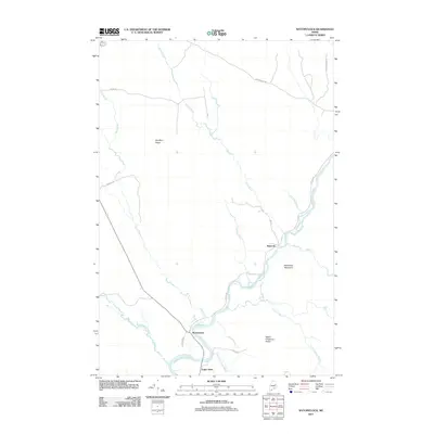
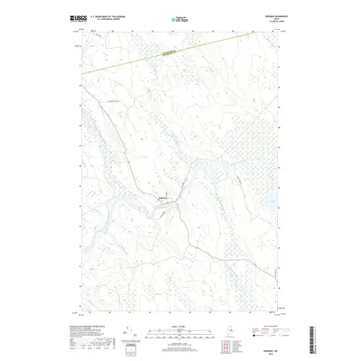
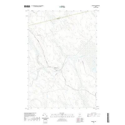
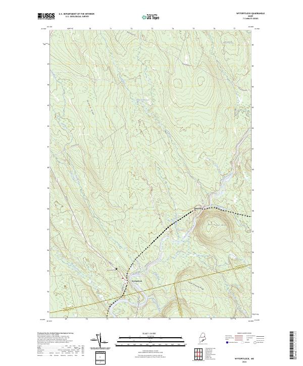 2024 Wytopitlock2024 Print · USGSNorthern Maine's interior river valleys are documented here at the intersection of three counties during the early twenty-first century. Genealogists and local historians can trace the riverside settlements of Wytopitlock and Bancroft or locate the Wytopitlock Cem.
 - 2024 Map of Reed Pond, 2024 Print
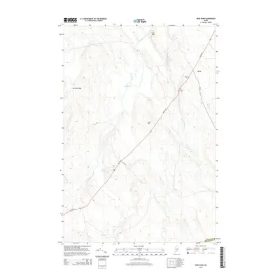
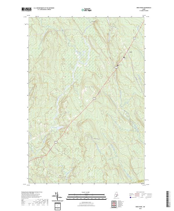 2024 Reed Pond2024 Print · USGSAroostook County in the early twenty-first century remains defined by its dense network of waterways and historic transit routes. Genealogists and local historians can trace family locations through Clifford Cem, Rollins Cem, and the rural settlement at Reed.
 - 2024 Map of Kingman, 2024 Print
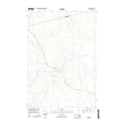
 2024 Kingman2024 Print · USGSPenobscot County life centers on the river bends of the Mattawamkeag in this 2024 topographic survey. Genealogists and local historians can trace the settlement around Kingman, locate the Kingman Cem, and follow waterways like Billy Doe Bog and Mattagodus Stream.
 - 2024 Map of Wytopitlock Lake, 2024 Print
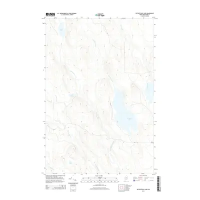
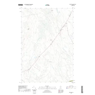
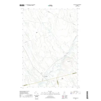
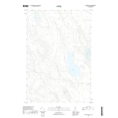
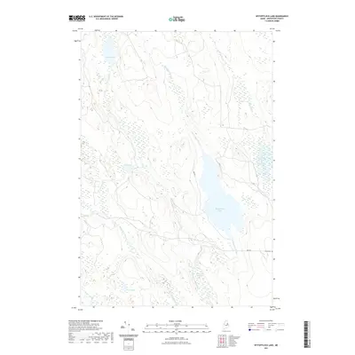
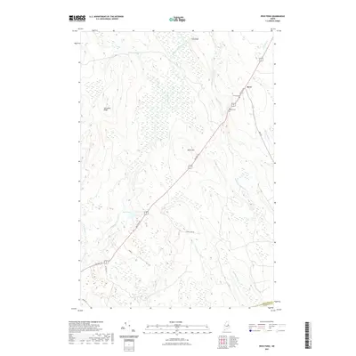
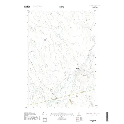
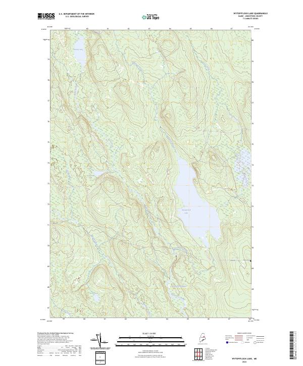 2024 Wytopitlock Lake2024 Print · USGSAroostook County's lake-and-stream network is captured here in the early twenty-first century. Researchers can trace family history at Pierce Cem or follow the waters of Wytopitlock Lake and Thompson Deadwater.
 - 2024 Map of Alder Brook, 2024 Print
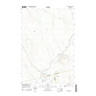
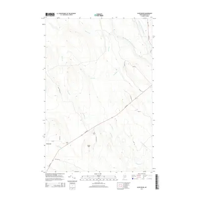
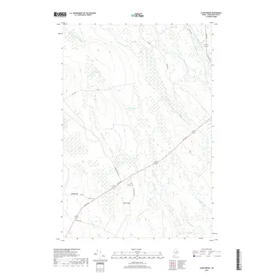
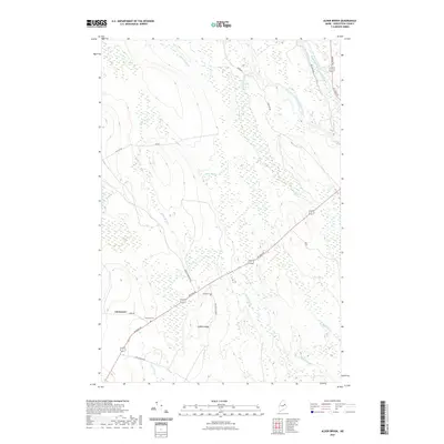
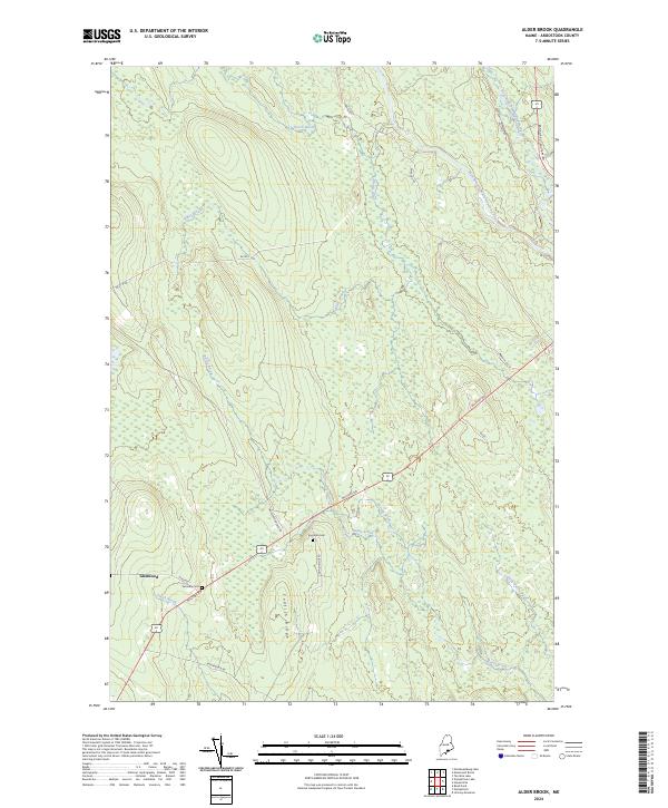 2024 Alder Brook2024 Print · USGSSouthern Aroostook County is shown here in the 2020s, highlighting the enduring transit routes and rural settlements of the Maine interior. Researchers can trace family history at Twombly Cem or follow the waters of the West Branch Mattawamkeag River and Alder Brook.
End of results
Showing maps 1-25 of 25
Top cities near Reed Plantation
- Sherman historical maps
- Mattawamkeag historical maps
- Danforth historical maps
- Winn historical maps
- Amity historical maps
- Weston historical maps
See more
Top neighborhoods of Reed Plantation
Frequently asked questions
- What are the different types of historical maps available for Reed Plantation?
- What is the oldest map of Reed Plantation?
- Where can I purchase historical maps of Reed Plantation for my home or office?
- Where can I download high-res historical maps of Reed Plantation?
- Are there historical topographic maps available for Reed Plantation?
- Is there historical aerial imagery available for Reed Plantation?
- Where are historical maps of Reed Plantation sourced from?