Old Maps of Saint Croix Township, Maine for Hiking & Exploration
Hike through history with 40 historic maps of Saint Croix Township. Explore old trails, ghost towns, and forgotten backroads — perfect for outdoor adventurers and local explorers.
- Rediscover forgotten places: Map out old mining camps, roads, and footpaths that no longer exist on modern maps.
- Layer with modern tools: Combine with LiDAR or satellite views to plan hikes through historical terrain.
- Made for exploration: Popular among hikers, overlanders, and local history lovers.
Use these maps to find adventure and explore the hidden past of Saint Croix Township.
Saint Croix Township, ME maps
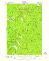
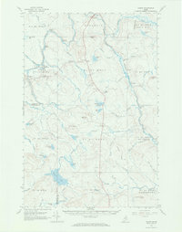
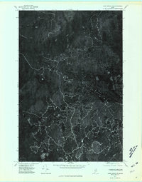
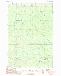
(40)- 1935 Map of Howe Brook
 1935 Howe Brook1935 Print · USGSRemote Aroostook County is shown here in the mid-1930s, when logging camps and the railroad defined the local landscape. Genealogists and researchers can trace the Bangor and Aroostook rail line to find vanished hubs like Little Canada and Weeksboro.
 - 1939 Map of Howe Brook
 1939 Howe Brook1939 Print · USGSAroostook County was a hub for timber and rail in the mid-1930s, defined by its remote township grids and wilderness camps. Genealogists and historians can trace old railroad stops at Weeksboro and Saunders or locate early sporting sites like the Mineola Hunting Club.3 unique versions available
 - 1940 Map of Oxbow, 1960 Print
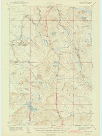
 1940 Oxbow1960 Print · USGSAroostook County was a remote timber and river frontier when this survey was conducted in the early 1940s. Genealogists and historians can trace old homesteads around Oxbow, locate the Oxbow East End School, and follow the Loghauler Road through the woods.
 - 1942 Map of Oxbow
 1942 Oxbow1942 Print · USGSNorthern Maine's timber and rail landscape is captured here during the early 1940s, centered on the river-bound community of Oxbow. Genealogists can locate Willard Cem, East End Sch, and remote logging outposts like Camp Violette.2 unique versions available
 - 1954 Map of Howe Brook, 1955 Print
 1954 Howe Brook1955 Print · USGSAroostook County's deep woods are documented in the mid-fifties, showing a landscape of timber-industry rail and seasonal sporting camps. Researchers can locate remote outposts like Old Klondike Camp, the community of Little Canada, and the Bangor and Ar00stook line.2 unique versions available
 - 1954 Map of Presque Isle, 1968 Print
 1954 Presque Isle1968 Print · USGSNorth Woods logging and rail history come alive in this mid-century survey of the Maine-Quebec borderlands. Genealogists and historians can trace the Bangor and Aroostook railroad through timber hubs like Ashland, Smyrna Mills, and Presque Isle.2 unique versions available
 - 1958 Map of Presque Isle
 1958 Presque Isle1958 Print · USGSThe Aroostook timber and potato country is captured here during the late fifties, showing the vital rail-to-river network of Northern Maine. Genealogists and historians can trace the Bangor & Aroostook RR through Mapleton and Ashland, or locate remote sites like Chamberlain Farm and Seven Islands.
 - 1960 Map of Presque Isle
 1960 Presque Isle1960 Print · USGSNorthern Maine during the mid-century was a land of timber, rails, and strategic airfields. Genealogists and historians can trace the growth of Presque Isle and Ashland or explore the remote northern reaches of Baxter State Park and Presque Isle AFB.3 unique versions available
 - 1965 Map of Howe Brook, 1968 Print
 1965 Howe Brook1968 Print · USGSAroostook County was a landscape of timber and rail in the mid-1960s, dominated by unorganized townships and hunting camps. You can trace the Bangor and Aroostook railroad as it passes through Weeksboro and by lookout towers on Howe Brook Mtn and Number Nine Mtn.2 unique versions available
 - 1965 Map of Oxbow, 1969 Print
 1965 Oxbow1969 Print · USGSNorthern Maine's timberlands are documented here in the mid-sixties, focusing on the remote settlements of Oxbow Plantation and Masardis. Researchers can trace the Houlton Trail or locate local landmarks like the East End Sch and Camp Violette.3 unique versions available
 - 1975 Map of Island Falls NE, 1980 Print
 1975 Island Falls NE1980 Print · USGSAroostook County's deep woods and logging routes are revealed in this mid-seventies aerial study of the Northern Maine interior. Researchers can trace the junction at Knowles Corner and find the shoreline of Rockabema Lake near Shoaler Mtn.2 unique versions available
 - 1975 Map of Howe Brook SW, 1981 Print
 1975 Howe Brook SW1981 Print · USGSNorthern Maine's timberlands are captured in the mid-1970s, showing the intersection of forest industry and remote settlements. Trace the landscape around Weeksboro and Howe Brook along the winding St Croix Stream.
 - 1975 Map of Oxbow NE, 1981 Print
 1975 Oxbow NE1981 Print · USGSNorthern Maine timberlands appear in sharp detail during the mid-seventies, showing the intersection of river and rail. Trace the landscape around Masardis and Griswold, following the winding Aroostook River and the secluded Cranberry Pond.
 - 1975 Map of Howe Brook NW, 1981 Print
 1975 Howe Brook NW1981 Print · USGSAroostook County was a center of intensive forest management in the mid-seventies, visible here through the intricate network of timber roads. Researchers can trace the waterways of the Blackwater River and the headwaters of West Branch Presque Isle Stream.
 - 1985 Map of Oakfield
 1985 Oakfield1985 Print · USGSAroostook County in the 1980s displays a balance between the timber-and-rail industry and the protected wilderness of the North Woods. Genealogists and local historians can trace family-named hubs like Smyrna Mills, Island Falls, and Knowles Corner along the Bangor and Aroostook railroad line.
 - 1986 Map of St. Croix Lake
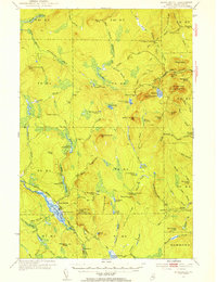
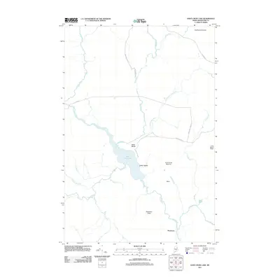
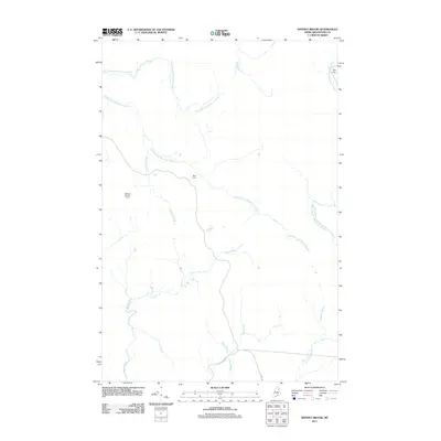
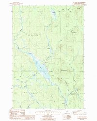 1986 St. Croix Lake1986 Print · USGSIn the remote woods of Aroostook County during the mid-1980s, these northern townships remained defined by their water systems and isolated settlements. Researchers can trace the early layout of Howe Brook, the railroad siding at Weeksboro, and old timber landmarks like Roll Dam Brook.
 - 1986 Map of Spinney Brook, 1987 Print
 1986 Spinney Brook1987 Print · USGSAroostook County's deep woods are captured here in the mid-1980s, showing a landscape defined by timber tracts and a complex network of waterways. Genealogists and historians can trace the paths of Spinney Brook and Tie Camp Brook through townships like Squapan.
 - 1986 Map of Griswold, 1987 Print
 1986 Griswold1987 Print · USGSAroostook County's timberlands are captured here in the mid-1980s, documenting the remote reaches of the North Maine Woods. Researchers can trace the legacy of land management and settlement through labels like Griswold, Hawkins, and the rugged peaks of Pollard Mtn.
 - 1986 Map of Mc Nally Ridge, 1987 Print
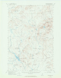
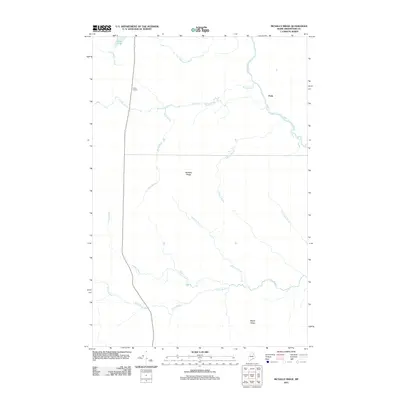
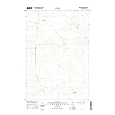
 1986 Mc Nally Ridge1987 Print · USGSNorthwestern Aroostook County is shown here in the 1980s as a landscape of timberlands and winding waterways. Genealogists and historians can trace old township lines like Webbertown and locate landmarks such as Roadside Park and Roll Dam Brook.
 - 1994 Map of Oakfield
 1994 Oakfield1994 Print · USGSAroostook County's North Woods and rural settlements are shown here in the mid-1990s, capturing the region's transition from forest to farmland. Trace the path of the Bangor and Aroostook RR through Smyrna Mills or locate landings on Millinocket Lake.
 - 2011 Map of Griswold, 2011 Print
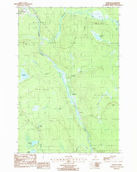
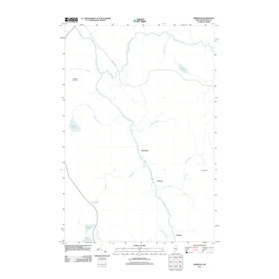 2011 Griswold2011 Print · USGSCovers Saint Croix Township, including Masardis, T9 R4 WELS, and other nearby areas
 - 2011 Map of Saint Croix Lake, 2011 Print
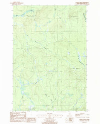
 2011 Saint Croix Lake2011 Print · USGSCovers Saint Croix Township, including Howe Brook, Weeksboro, and other nearby areas
 - 2011 Map of McNally Ridge, 2011 Print
 2011 McNally Ridge2011 Print · USGSCovers Saint Croix Township, including Webbertown Township, T7 R5 WELS, and other nearby areas
 - 2011 Map of Spinney Brook, 2011 Print
 2011 Spinney Brook2011 Print · USGSCovers Saint Croix Township, including T9 R4 WELS, Scopan Township, and other nearby areas
 - 2014 Map of McNally Ridge, 2014 Print
 2014 McNally Ridge2014 Print · USGSCovers Saint Croix Township, including Webbertown Township, T7 R5 WELS, and other nearby areas
Showing maps 1-25 of 40
Top cities near Saint Croix Township
- Ashland historical maps
- Oakfield historical maps
- New Limerick historical maps
- Westfield historical maps
- Smyrna historical maps
- Ludlow historical maps
See more
Top neighborhoods of Saint Croix Township
Frequently asked questions
- What are the different types of historical maps available for Saint Croix Township?
- What is the oldest map of Saint Croix Township?
- Where can I purchase historical maps of Saint Croix Township for my home or office?
- Where can I download high-res historical maps of Saint Croix Township?
- Are there historical topographic maps available for Saint Croix Township?
- Is there historical aerial imagery available for Saint Croix Township?
- Where are historical maps of Saint Croix Township sourced from?