2000s (21st Century) Maps of T11 R10 WELS, Maine
Explore 20 historic maps of T11 R10 WELS from the 2000s (21st Century). These maps offer a rare glimpse into what life looked like during the 2000s — showing old roads, neighborhoods, homes, and landmarks that have changed or disappeared over time.
Whether you're researching your family's past, planning a metal detecting trip, or studying how T11 R10 WELS's landscape evolved across the 2000s, these high-resolution maps are a powerful tool for exploring the history of this region.
- Focus on a specific era: All maps on this page are from the 2000s, giving you a focused view of this time period.
- See what’s changed: Compare century-old streets, trails, and buildings to today's modern landscape using overlays and satellite layers.
- Research with precision: Use these maps for genealogy, historical research, land use analysis, or educational projects.
- View, download, or print: Maps are fully viewable online in high resolution, and can be downloaded or printed for your own records.
Start exploring T11 R10 WELS's history through authentic maps from the 2000s. This is your window into the past.
T11 R10 WELS, ME maps
(20)- 2011 Map of Fifth Musquacook Lake, 2011 Print
 2011 Fifth Musquacook Lake2011 Print · USGSCovers T11 R10 WELS, including T10 R11 WELS, T10 R10 WELS, and other nearby areas
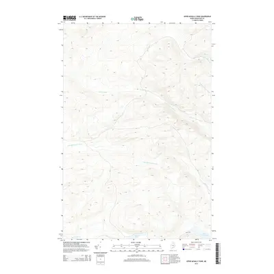
 - 2011 Map of Upper McNally Pond, 2011 Print
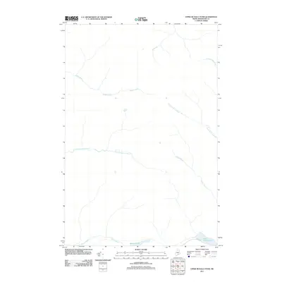 2011 Upper McNally Pond2011 Print · USGSCovers T11 R10 WELS, including T12 R10 WELS, T12 R11 WELS, and other nearby areas
 - 2011 Map of Farrar Pond, 2011 Print
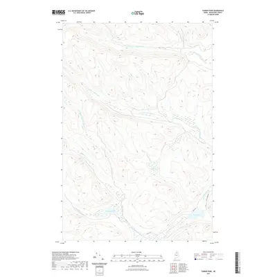
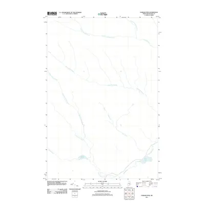 2011 Farrar Pond2011 Print · USGSCovers T11 R10 WELS, including T12 R9 WELS, T11 R9 WELS, and other nearby areas
 - 2011 Map of Mooseleuk Lake, 2011 Print
 2011 Mooseleuk Lake2011 Print · USGSCovers T11 R10 WELS, including T10 R9 WELS, T11 R9 WELS, and other nearby areas
 - 2014 Map of Mooseleuk Lake, 2014 Print
 2014 Mooseleuk Lake2014 Print · USGSCovers T11 R10 WELS, including T10 R9 WELS, T11 R9 WELS, and other nearby areas
 - 2014 Map of Farrar Pond, 2014 Print
 2014 Farrar Pond2014 Print · USGSCovers T11 R10 WELS, including T12 R9 WELS, T11 R9 WELS, and other nearby areas
 - 2014 Map of Upper McNally Pond, 2014 Print
 2014 Upper McNally Pond2014 Print · USGSCovers T11 R10 WELS, including T12 R10 WELS, T12 R11 WELS, and other nearby areas
 - 2014 Map of Fifth Musquacook Lake, 2014 Print
 2014 Fifth Musquacook Lake2014 Print · USGSCovers T11 R10 WELS, including T10 R11 WELS, T10 R10 WELS, and other nearby areas
 - 2018 Map of Farrar Pond, 2018 Print
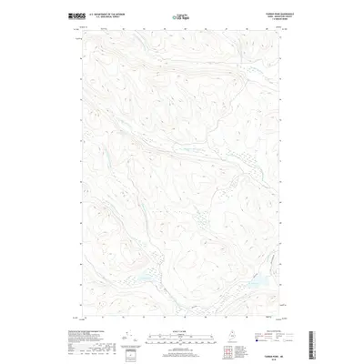 2018 Farrar Pond2018 Print · USGSCovers T11 R10 WELS, including T12 R9 WELS, T11 R9 WELS, and other nearby areas
 - 2018 Map of Fifth Musquacook Lake, 2018 Print
 2018 Fifth Musquacook Lake2018 Print · USGSCovers T11 R10 WELS, including T10 R11 WELS, T10 R10 WELS, and other nearby areas
 - 2018 Map of Upper McNally Pond, 2018 Print
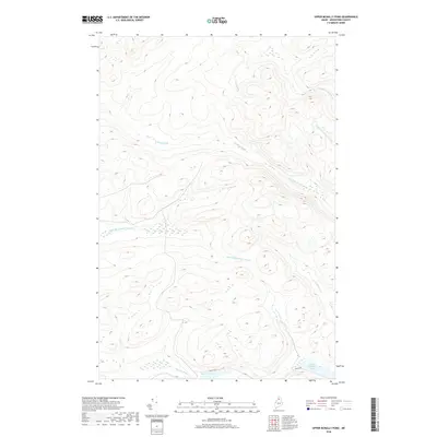 2018 Upper McNally Pond2018 Print · USGSCovers T11 R10 WELS, including T12 R10 WELS, T12 R11 WELS, and other nearby areas
 - 2018 Map of Mooseleuk Lake, 2018 Print
 2018 Mooseleuk Lake2018 Print · USGSCovers T11 R10 WELS, including T10 R9 WELS, T11 R9 WELS, and other nearby areas
 - 2021 Map of Fifth Musquacook Lake, 2021 Print
 2021 Fifth Musquacook Lake2021 Print · USGSCovers T11 R10 WELS, including T10 R11 WELS, T10 R10 WELS, and other nearby areas
 - 2021 Map of Mooseleuk Lake, 2021 Print
 2021 Mooseleuk Lake2021 Print · USGSCovers T11 R10 WELS, including T10 R9 WELS, T11 R9 WELS, and other nearby areas
 - 2021 Map of Farrar Pond, 2021 Print
 2021 Farrar Pond2021 Print · USGSCovers T11 R10 WELS, including T12 R9 WELS, T11 R9 WELS, and other nearby areas
 - 2021 Map of Upper McNally Pond, 2021 Print
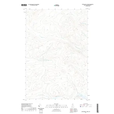 2021 Upper McNally Pond2021 Print · USGSCovers T11 R10 WELS, including T12 R10 WELS, T12 R11 WELS, and other nearby areas
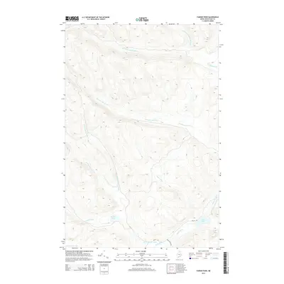
 - 2024 Map of Farrar Pond, 2024 Print
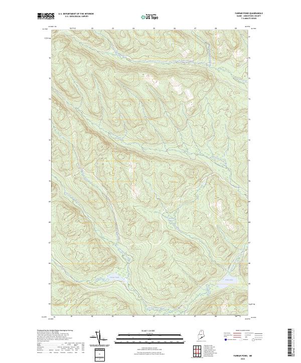 2024 Farrar Pond2024 Print · USGSAroostook County's remote timberlands are documented in this 2024 survey, showing the complex watershed between Farrar Pond and Pratt Lake. Outdoorsmen and researchers can trace logging routes like Realty Rd and the wetlands of Ketcham Bog.
 - 2024 Map of Fifth Musquacook Lake, 2024 Print
 2024 Fifth Musquacook Lake2024 Print · USGSThe Maine North Woods at the boundary of Aroostook and Piscataquis counties remain a landscape of timber and water. Trace the logging roads of Realty Rd and Jack Mtn Rd past landmarks like Fifth Musquacook Lake and Hudson Mtn.
 - 2024 Map of Mooseleuk Lake, 2024 Print
 2024 Mooseleuk Lake2024 Print · USGSDeep in the Maine woods at the border of Piscataquis and Aroostook counties, this map reveals a landscape of high ridges and complex waterways. Trace the remote timber roads and drainage basins of Mooseleuk Lake, Bartlett Mtn, and the Mule Brook Mountains.
 - 2024 Map of Upper McNally Pond, 2024 Print
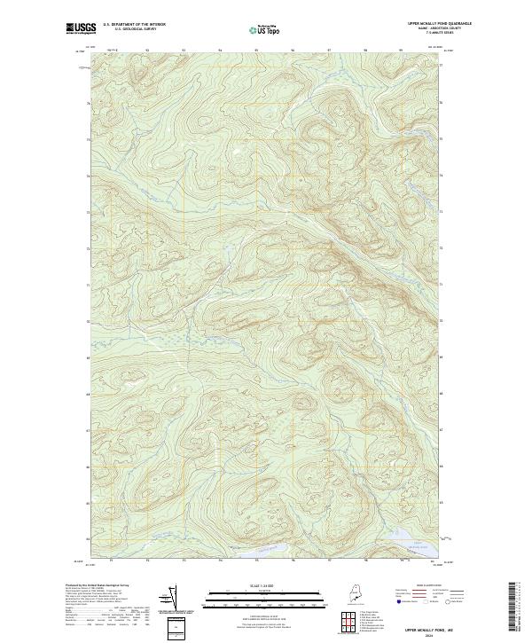 2024 Upper McNally Pond2024 Print · USGSDeep within the North Maine Woods in the early 2020s, this landscape remains a domain of timber roads and remote waterways. Trace the network of forest management routes like Realty Rd and the headwaters of the Little Musquacook Stream and Upper McNally Pond.
End of results
Showing maps 1-20 of 20
Frequently asked questions
- What are the different types of historical maps available for T11 R10 WELS?
- What is the oldest map of T11 R10 WELS?
- Where can I purchase historical maps of T11 R10 WELS for my home or office?
- Where can I download high-res historical maps of T11 R10 WELS?
- Are there historical topographic maps available for T11 R10 WELS?
- Is there historical aerial imagery available for T11 R10 WELS?
- Where are historical maps of T11 R10 WELS sourced from?