Old Maps of T13 R7 WELS, Maine for Metal Detecting
Plan your next treasure hunt with 36 historic maps of T13 R7 WELS. Find old homesites, ghost towns, trails, and gathering spots that may be lost to time — perfect for identifying promising metal detecting locations.
- Locate forgotten sites: Uncover places like long-lost settlements, abandoned rail lines, or gathering spots.
- Plan better hunts: Use map overlays combined with LiDAR or satellite views to narrow in on historically rich areas.
- Made for detectorists: Thousands of hobbyists use these maps to discover relics, coins, and hidden history.
Use these historic maps to boost your research and find new opportunities beneath the surface of T13 R7 WELS.
T13 R7 WELS, ME maps
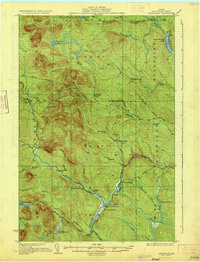
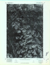
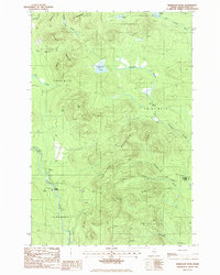
(36)- 1928 Map of Winterville
 1928 Winterville1928 Print · USGSWinterville Plantation and the surrounding Aroostook timberlands are captured here in the late twenties, before modern development. Genealogists and historians can trace rail stops like Quimby PO and Nixon Siding or locate the old 15 R 6 Sch.4 unique versions available
 - 1930 Map of Greenlaw
 1930 Greenlaw1930 Print · USGSAroostook County was a hub of timber and rail activity in the early thirties, defined by remote camps and a developing backcountry road network. Genealogists and historians can trace old routes like the Old Military Road and locate sites such as Seven Mile Camp and Greenlaw Crossing.5 unique versions available
 - 1931 Map of Winterville
 1931 Winterville1931 Print · USGSThe North Woods of Maine are seen here in the early 1930s, when logging camps and the railroad were the primary lifelines of the region. Local historians can trace family-named sites like McNally and Nixon or locate isolated structures like T 15 R 6 Sch.4 unique versions available
 - 1933 Map of Greenlaw
 1933 Greenlaw1933 Print · USGSAroostook County’s timberlands are shown here in the early 1930s, when river landings and remote sporting camps defined the deep woods. Researchers can trace historic logging routes like the Old Military Road and locate vanished outposts such as Orcutts Camp and The Owls Roost.3 unique versions available
 - 1954 Map of Presque Isle, 1968 Print
 1954 Presque Isle1968 Print · USGSNorth Woods logging and rail history come alive in this mid-century survey of the Maine-Quebec borderlands. Genealogists and historians can trace the Bangor and Aroostook railroad through timber hubs like Ashland, Smyrna Mills, and Presque Isle.2 unique versions available
 - 1958 Map of Presque Isle
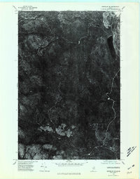
 1958 Presque Isle1958 Print · USGSThe Aroostook timber and potato country is captured here during the late fifties, showing the vital rail-to-river network of Northern Maine. Genealogists and historians can trace the Bangor & Aroostook RR through Mapleton and Ashland, or locate remote sites like Chamberlain Farm and Seven Islands.
 - 1960 Map of Presque Isle
 1960 Presque Isle1960 Print · USGSNorthern Maine during the mid-century was a land of timber, rails, and strategic airfields. Genealogists and historians can trace the growth of Presque Isle and Ashland or explore the remote northern reaches of Baxter State Park and Presque Isle AFB.3 unique versions available
 - 1975 Map of Winterville SE, 1981 Print
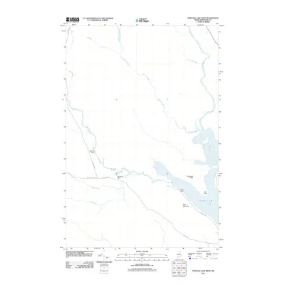
 1975 Winterville SE1981 Print · USGSAroostook County timberlands are revealed in this mid-seventies aerial survey of the northern Maine woods. Researchers can trace the patterns of mid-century logging operations and drainage systems around Portage Lake, West Mountain, and the Fish River.
 - 1975 Map of Greenlaw NE, 1981 Print
 1975 Greenlaw NE1981 Print · USGSThe deep woods of Aroostook County are seen from above in the mid-seventies, showing the Maine wilderness before decades of modern forest management. Trace the untouched shore of Little Machias Lake and the winding course of the Little Machias River.
 - 1975 Map of Winterville SW, 1981 Print
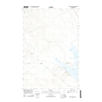
 1975 Winterville SW1981 Print · USGSAroostook County's deep timberlands are captured in this mid-1970s aerial survey, showing the landscape just as the fall season began. Researchers can trace the natural drainage and forest patterns around Fish River Lake, Carr Pond, and Ferguson Mountain.
 - 1975 Map of Greenlaw NW, 1981 Print
 1975 Greenlaw NW1981 Print · USGSUpper Aroostook County timberlands are captured in this mid-seventies aerial survey, showing the deep woods before the era of digital mapping. Researchers can trace the path of the Machias River and locate landmarks like Greenlaw Pond and Bald Mountain.
 - 1985 Map of Carr Pond, 1986 Print
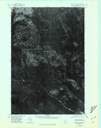
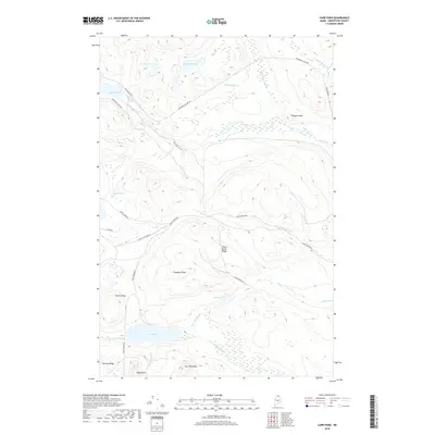
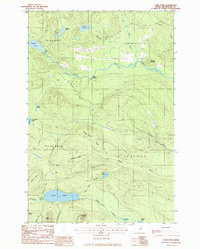 1985 Carr Pond1986 Print · USGSThe remote Aroostook County backcountry of the mid-1980s is captured here, showing a landscape defined by timber roads and glacial waters. Local historians can trace early access points like High Landing or locate remote camps near Carr Pond and Fish River Lake.
 - 1986 Map of Portage Lake West
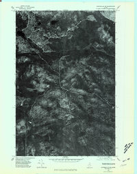
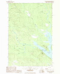 1986 Portage Lake West1986 Print · USGSAroostook County's wild interior is captured here in the mid-1980s, centered on the expansive Portage Lake. Outdoor historians and researchers can trace the serpentine Fish River past Big Pine Bend and locate remote landmarks like West Mtn.
 - 1986 Map of Little Machias Lake
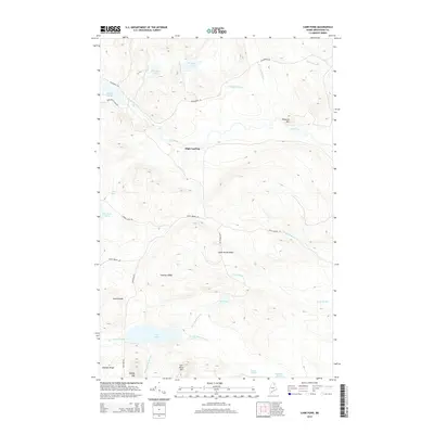
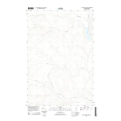
 1986 Little Machias Lake1986 Print · USGSAroostook County timberlands are mapped here in the mid-1980s, showcasing the remote township system and logging networks. Researchers can trace historic drainage paths and access points through Nashville Plantation and along Little Machias Lake.
 - 1986 Map of Greenlaw Pond
 1986 Greenlaw Pond1986 Print · USGSThe Aroostook County backcountry in the mid-1980s is a landscape of township blocks and timber tracts. Researchers can trace the river economy through Russell Crossing, Greenlaw Crossing, and the remote Gravel Pit near Greenlaw Stream.
 - 1994 Map of Presque Isle
 1994 Presque Isle1994 Print · USGSAroostook County in the mid-nineties shows a landscape defined by timber, rail, and river-valley farming. Genealogists and historians can trace the Bangor & Aroostook RR through small stations and settlements like Winterville Sta, Buffalo, and Sheridan.
 - 2011 Map of Carr Pond, 2011 Print
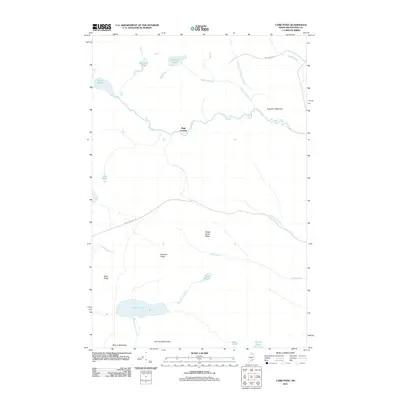 2011 Carr Pond2011 Print · USGSCovers T13 R7 WELS, including High Landing, T12 R8 WELS, and other nearby areas
 - 2011 Map of Greenlaw Pond, 2011 Print
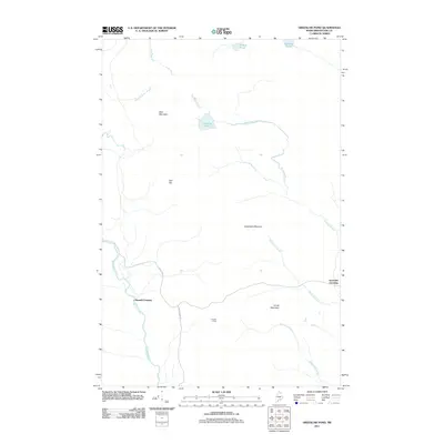 2011 Greenlaw Pond2011 Print · USGSCovers T13 R7 WELS, including Greenlaw Crossing, Russell Crossing, and other nearby areas
 - 2011 Map of Little Machias Lake, 2011 Print
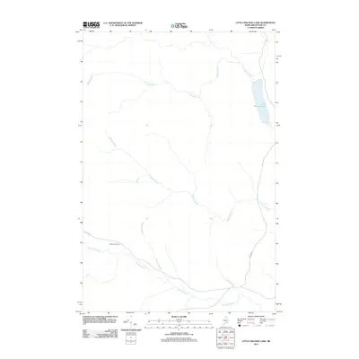 2011 Little Machias Lake2011 Print · USGSCovers T13 R7 WELS, including Portage Lake, Garfield Plantation, and other nearby areas
 - 2011 Map of Portage Lake West, 2011 Print
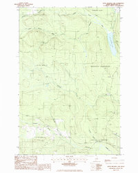
 2011 Portage Lake West2011 Print · USGSCovers T13 R7 WELS, including Portage Lake, T14 R7 WELS, and other nearby areas
 - 2014 Map of Greenlaw Pond, 2014 Print
 2014 Greenlaw Pond2014 Print · USGSCovers T13 R7 WELS, including Greenlaw Crossing, Russell Crossing, and other nearby areas
 - 2014 Map of Carr Pond, 2014 Print
 2014 Carr Pond2014 Print · USGSCovers T13 R7 WELS, including High Landing, T12 R8 WELS, and other nearby areas
 - 2014 Map of Portage Lake West, 2014 Print
 2014 Portage Lake West2014 Print · USGSCovers T13 R7 WELS, including Portage Lake, T14 R7 WELS, and other nearby areas
 - 2014 Map of Little Machias Lake, 2014 Print
 2014 Little Machias Lake2014 Print · USGSCovers T13 R7 WELS, including Portage Lake, Garfield Plantation, and other nearby areas
 - 2018 Map of Carr Pond, 2018 Print
 2018 Carr Pond2018 Print · USGSCovers T13 R7 WELS, including High Landing, T12 R8 WELS, and other nearby areas
Showing maps 1-25 of 36
Top cities near T13 R7 WELS
- Ashland historical maps
- Eagle Lake historical maps
- Portage Lake historical maps
- Masardis historical maps
- Winterville Plantation historical maps
- Garfield Plantation historical maps
See more
Frequently asked questions
- What are the different types of historical maps available for T13 R7 WELS?
- What is the oldest map of T13 R7 WELS?
- Where can I purchase historical maps of T13 R7 WELS for my home or office?
- Where can I download high-res historical maps of T13 R7 WELS?
- Are there historical topographic maps available for T13 R7 WELS?
- Is there historical aerial imagery available for T13 R7 WELS?
- Where are historical maps of T13 R7 WELS sourced from?