Old Maps of Frenchboro, Maine for Hiking & Exploration
Hike through history with 38 historic maps of Frenchboro. Explore old trails, ghost towns, and forgotten backroads — perfect for outdoor adventurers and local explorers.
- Rediscover forgotten places: Map out old mining camps, roads, and footpaths that no longer exist on modern maps.
- Layer with modern tools: Combine with LiDAR or satellite views to plan hikes through historical terrain.
- Made for exploration: Popular among hikers, overlanders, and local history lovers.
Use these maps to find adventure and explore the hidden past of Frenchboro.
Frenchboro, ME maps
(38)- 1904 Map of Swan Island
 1904 Swan Island1904 Print · USGSThe granite shores of Hancock County appear here at the turn of the century, showing a network of island villages and maritime routes. Trace the old foundations and landing sites at Frenchboro and Minturn, or locate the Bluehill Bay L.H. and early steamboat paths.4 unique versions available
 - 1943 Map of Swans Island, 1958 Print
 1943 Swans Island1958 Print · USGSCoastal Hancock County at the height of the Second World War reveals a landscape of isolated island communities and maritime commerce. Genealogists and historians can trace family roots through the settlements of Atlantic, Minturn, and Frenchboro, or locate landmarks like the Blue Hill Bay LH and Little Duck I Bird Sanctuary.3 unique versions available
 - 1945 Map of Swans Island
 1945 Swans Island1945 Print · USGSCoastal Maine's island communities thrive amidst the granite shores and deep harbors of Hancock County during the mid-1940s. Trace the isolated settlements of Atlantic, Minturn, and Frenchboro, or locate family sites like the Stockbridge Cem and the Blue Hill Bay LH.2 unique versions available
 - 1948 Map of Bangor
 1948 Bangor1948 Print · USGSThe Maine coast and its industrial river valleys are captured here shortly after the war, showing the vital shipping and rail hubs of the late 1940s. Genealogists and historians can trace the tracks of the Maine Central RR connecting Bangor, Augusta, and Old Town.
 - 1956 Map of Bangor, 1966 Print
 1956 Bangor1966 Print · USGSMid-century Maine comes alive in this survey of the rugged coast and river valleys during the 1950s. Genealogists and historians can trace the vital rail corridors of the Maine Central RR connecting timber towns like Old Town to the coast at Bar Harbor.3 unique versions available
 - 1960 Map of Bangor
 1960 Bangor1960 Print · USGSCentral Maine in the sixties reveals a landscape of river-powered industry and sprawling coastal island chains. Researchers can trace the rail corridors of the Maine Central or locate mid-century aviation landmarks like Dow Air Force Base.
 - 1961 Map of Bangor
 1961 Bangor1961 Print · USGSMid-century Maine comes alive through its busy river ports and rocky archipelagoes during a period of steady maritime and rail commerce. Researchers can trace the path of the Maine Central railroad and locate coastal landmarks from Acadia National Park to Vinalhaven Island.
 - 1983 Map of Johns Island
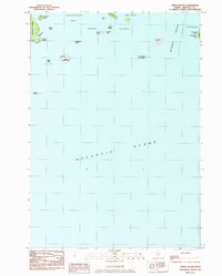 1983 Johns Island1983 Print · USGSCoastal Hancock County in the early eighties is mapped here as an intricate network of remote islands and navigational ledges. Maritime researchers can trace the shorelines of Marshall Island, locate Acadia National Park boundaries on Heron I, and find Steamboat Beach in Frenchboro.
 - 1983 Map of Frenchboro
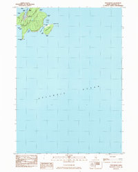 1983 Frenchboro1983 Print · USGSRemote island life in the early 1980s is captured here, centering on the isolated village of Frenchboro along the Maine coast. Genealogists and historians can trace the town layout around Lunt Harbor, the local Cem, and landmarks like Richs Head and Bluff Head.
 - 1983 Map of Bass Harbor
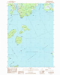 1983 Bass Harbor1983 Print · USGSCoastal Maine in the early eighties reveals a world defined by the sea, from the granite shores of Acadia to the scattered outposts of the Cranberry Isles. Genealogists and maritime historians can trace local life through the Lighthouse at Bass Harbor Head, the Longfellow Sch, and family Cem sites.
 - 1983 Map of Baker Island
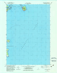 1983 Baker Island1983 Print · USGSCoastal Maine's outer islands are captured in the early 1980s, documenting a landscape of maritime navigation and isolated settlements. Trace genealogy at the Gilley Cem or explore the coastal details of Great Duck Island and Cranberry Island.2 unique versions available
 - 1983 Map of Swans Island
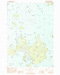 1983 Swans Island1983 Print · USGSHancock County island life in the 1980s is defined here by the intersection of granite shores and the sea. Researchers can trace historic island settlements like Atlantic, Minturn, and Richtown or locate the iconic Lighthouse guarding Burnt Coat Harbor.
 - 1985 Map of Bar Harbor
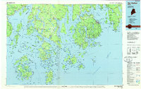 1985 Bar Harbor1985 Print · USGSCoastal Hancock County in the mid-eighties shows an intricate landscape of island communities and protected wilderness. Trace the boundaries of Acadia National Park or locate seafaring hubs like Stonington and Bar Harbor.2 unique versions available
 - 2011 Map of Frenchboro, 2011 Print
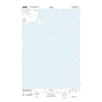 2011 Frenchboro2011 Print · USGSThe maritime community of Frenchboro on Long Island is shown here as it stood in the early 21st century. Researchers can trace the layout of Shore Rd and Upper Rd, or locate coastal landmarks like Salt Ponds and Richs Head.
 - 2011 Map of Johns Island, 2011 Print
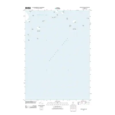 2011 Johns Island2011 Print · USGSThe waters of Toothacher Bay and the Maine coast are captured here in the early twenty-first century. Boaters and local historians can trace the positions of namesake landmarks like Johns Island, Brimstone Island, and the treacherous Black Rock.
 - 2011 Map of Baker Island, 2011 Print
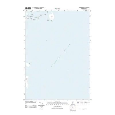 2011 Baker Island2011 Print · USGSCoastal Hancock County is documented here in the early twenty-first century, showing the isolated islands and granite ledges off the Maine coast. Marine historians can locate navigation hazards and island landmarks like Baker Island, Great Duck Island, and The Thumper.
 - 2011 Map of Swans Island, 2011 Print
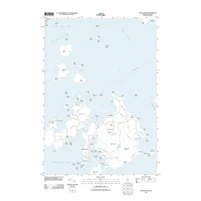 2011 Swans Island2011 Print · USGSSwans Island and its surrounding Maine archipelago appear in high detail during the early twenty-first century. Genealogists and maritime historians can trace the road networks connecting Minturn and Atlantic or locate landmarks like the Blue Hill Bay Lighthouse.
 - 2011 Map of Bass Harbor, 2011 Print
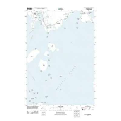 2011 Bass Harbor2011 Print · USGSCoastal Hancock County comes into sharp focus during the early twenty-first century, showing the maritime heart of Mount Desert Island. Researchers can trace local lineage at Bernard Cemetery or explore the waterfront infrastructure at the Bass Harbor Public Landing and Bass Harbor Head.
 - 2014 Map of Frenchboro, 2014 Print
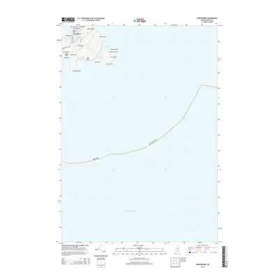 2014 Frenchboro2014 Print · USGSThe island village of Frenchboro remains a remote Maine outpost during the early twenty-first century, centered on the protected harbor of Long Island. Researchers can trace the rugged shoreline from Lookout Point to the high elevations of Yellow Head and Bluff Head.
 - 2014 Map of Johns Island, 2014 Print
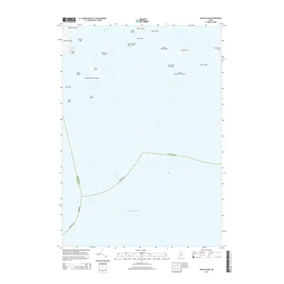 2014 Johns Island2014 Print · USGSCoastal Maine in the early 2010s reveals a maritime network of isolated landmasses and treacherous navigation hazards along the county line. Researchers can trace historical island names and seafaring landmarks like Devils Head, Toothacher Bay, and the interestingly named Sally Prude Ledge.
 - 2014 Map of Baker Island, 2014 Print
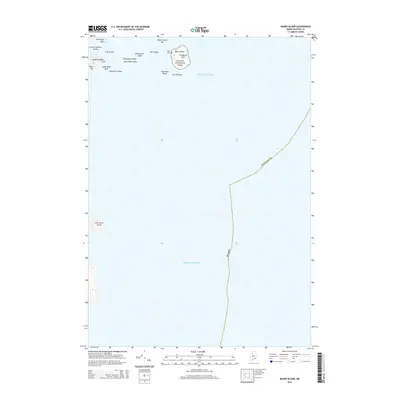 2014 Baker Island2014 Print · USGSThe Cranberry Isles and the Atlantic approaches to Acadia National Park are shown here in the mid-2010s. Researchers can locate the Gilley Cem and trace the rocky shoreline from Deadman Point to the isolated Little Duck Island.
 - 2014 Map of Bass Harbor, 2014 Print
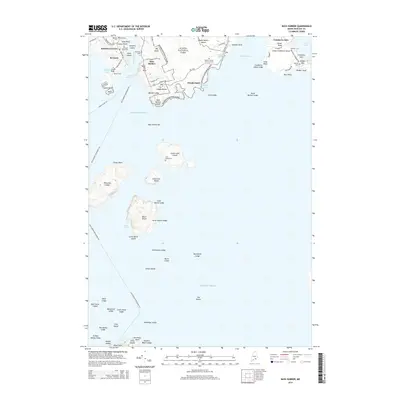 2014 Bass Harbor2014 Print · USGSMount Desert Island and its surrounding archipelagos are captured here in the early twenty-first century. Genealogists can trace family heritage through coastal burial sites like Dolliver Family Burial Ground and Bunker Cem on Great Cranberry Island.
 - 2014 Map of Swans Island, 2014 Print
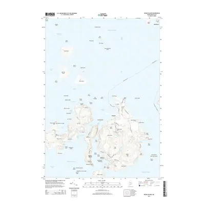 2014 Swans Island2014 Print · USGSSwans Island and its surrounding archipelago appear here in the early twenty-first century, showing the enduring maritime layout of this coastal community. Genealogists and historians can trace family burial sites at Irish Point Cem or Stockbridge Cem and locate the island's industrial past at the Quarry.
 - 2018 Map of Bass Harbor, 2018 Print
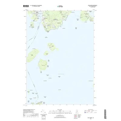 2018 Bass Harbor2018 Print · USGSMount Desert Island and the Cranberry Isles appear in this contemporary coastal study, detailing the maritime life and isolated island communities of Hancock County. Researchers can trace historic family burial sites like Dolliver Family Burial Ground and Stanley Cem, or locate landmarks such as Bass Harbor Head and the wild reaches of Big Heath.
 - 2018 Map of Swans Island, 2018 Print
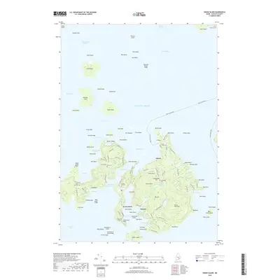 2018 Swans Island2018 Print · USGSSwans Island and its outlying archipelago are documented in the late 2010s, showcasing a resilient maritime landscape in Hancock County. Researchers can trace ancestral locations through several burial grounds like Atlantic Cem and landmarks such as Quarry Pond.
Showing maps 1-25 of 38
Top cities near Frenchboro
- Bar Harbor historical maps
- Blue Hill historical maps
- Deer Isle historical maps
- Mount Desert historical maps
- Southwest Harbor historical maps
- Gouldsboro historical maps
See more
Frequently asked questions
- What are the different types of historical maps available for Frenchboro?
- What is the oldest map of Frenchboro?
- Where can I purchase historical maps of Frenchboro for my home or office?
- Where can I download high-res historical maps of Frenchboro?
- Are there historical topographic maps available for Frenchboro?
- Is there historical aerial imagery available for Frenchboro?
- Where are historical maps of Frenchboro sourced from?