Old Maps of T16 MD BPP Township, Maine for Metal Detecting
Plan your next treasure hunt with 37 historic maps of T16 MD BPP Township. Find old homesites, ghost towns, trails, and gathering spots that may be lost to time — perfect for identifying promising metal detecting locations.
- Locate forgotten sites: Uncover places like long-lost settlements, abandoned rail lines, or gathering spots.
- Plan better hunts: Use map overlays combined with LiDAR or satellite views to narrow in on historically rich areas.
- Made for detectorists: Thousands of hobbyists use these maps to discover relics, coins, and hidden history.
Use these historic maps to boost your research and find new opportunities beneath the surface of T16 MD BPP Township.
T16 MD BPP Township, ME maps
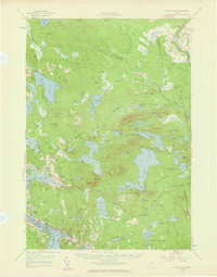
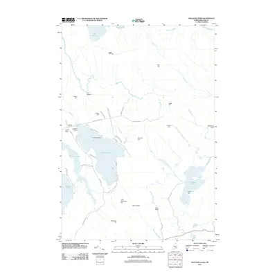
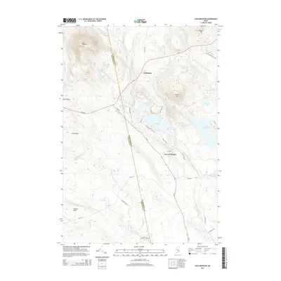
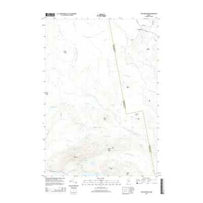
(37)- 1929 Map of Lead Mountain
 1929 Lead Mountain1929 Print · USGSThe Maine backcountry near the Hancock and Washington County line is shown here in the late twenties, dominated by timberlands and glacial lakes. Genealogists and historians can locate remote outposts like Jacobs Camp, the Howe Farm, and the trails surrounding Lead Mountain.
 - 1930 Map of Tunk Lake
 1930 Tunk Lake1930 Print · USGSHancock County was a landscape of timber and tide in the early 1930s, where the Maine Central rail line linked small coastal villages to the deep woods. Genealogists and historians can trace old homesteads in Donnells, rural education at Tunk Lake Sch, and the locations of sporting retreats like the Wichyup Club.
 - 1932 Map of Tunk Lake
 1932 Tunk Lake1932 Print · USGSThe coastal inlets and glacial highlands of Hancock County are meticulously detailed in the early 1930s. Researchers can trace the Maine Central rail line through Sullivan and locate vanished local landmarks like the Think Lake Sch and Wickypup Club.4 unique versions available
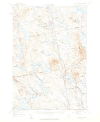
 - 1932 Map of Lead Mountain
 1932 Lead Mountain1932 Print · USGSThe Maine timberlands and the historic Air Line Road are captured here in the early thirties, showcasing a landscape of isolated logging camps and remote lakes. Researchers can locate family-named sites like Howe Farm Camp, the settlements of Deblois and Beddington, and the Fire Tower atop Lead Mountain.5 unique versions available
 - 1942 Map of Tunk Lake
 1942 Tunk Lake1942 Print · USGSHancock County’s inland peaks and coastal villages are captured here during the early 1940s, just as aerial photography began to modernize regional mapping. Researchers can locate the Tunk Lake Sch, coastal rail stops at Waukeag, and the prominent Fire Tower on Schoodic Mtn.
 - 1948 Map of Bangor
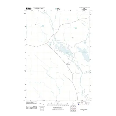
 1948 Bangor1948 Print · USGSThe Maine coast and its industrial river valleys are captured here shortly after the war, showing the vital shipping and rail hubs of the late 1940s. Genealogists and historians can trace the tracks of the Maine Central RR connecting Bangor, Augusta, and Old Town.
 - 1956 Map of Bangor, 1966 Print
 1956 Bangor1966 Print · USGSMid-century Maine comes alive in this survey of the rugged coast and river valleys during the 1950s. Genealogists and historians can trace the vital rail corridors of the Maine Central RR connecting timber towns like Old Town to the coast at Bar Harbor.3 unique versions available
 - 1957 Map of Tunk Lake, 1959 Print
 1957 Tunk Lake1959 Print · USGSCoastal Maine in the late 1950s shows a landscape defined by the Maine Central RR and tidal waters like Hog Bay. Local historians can trace family locations near Bayview Cem, the Union Ch, and settlements from Deblois to East Sullivan.4 unique versions available
 - 1957 Map of Lead Mountain, 1959 Print
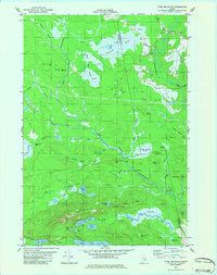
 1957 Lead Mountain1959 Print · USGSThe wild lake country of Down East Maine is shown here in the late fifties, featuring the scattered outposts and high ridges of Washington and Hancock Counties. Genealogists and researchers can trace local landmarks like Beddington, Dog Corners, and the prominent Lookout Tower atop Lead Mtn.3 unique versions available
 - 1960 Map of Bangor
 1960 Bangor1960 Print · USGSCentral Maine in the sixties reveals a landscape of river-powered industry and sprawling coastal island chains. Researchers can trace the rail corridors of the Maine Central or locate mid-century aviation landmarks like Dow Air Force Base.
 - 1961 Map of Bangor
 1961 Bangor1961 Print · USGSMid-century Maine comes alive through its busy river ports and rocky archipelagoes during a period of steady maritime and rail commerce. Researchers can trace the path of the Maine Central railroad and locate coastal landmarks from Acadia National Park to Vinalhaven Island.
 - 1982 Map of Tunk Mountain, 1983 Print
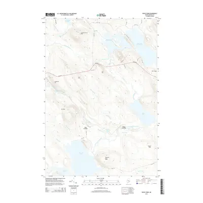
 1982 Tunk Mountain1983 Print · USGSCoastal Maine's interior wetlands and granite peaks are documented in the early eighties as industry and nature intersected in the Deblois region. Genealogists and historians can trace family-named sites like Colson Branch Hill, the local Cem, and the old Spring River Dam.2 unique versions available
 - 1982 Map of Molasses Pond, 1983 Print
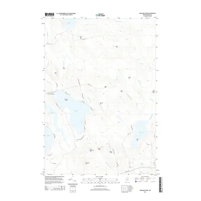
 1982 Molasses Pond1983 Print · USGSHancock County’s intricate interior wetlands and ridges are captured here during the early eighties. Researchers can trace land use through the Lyle Frost Wildlife Management Area and locate family landmarks like Crimmins Cem or Macomber Mill Str.
 - 1985 Map of Bangor
 1985 Bangor1985 Print · USGSMid-Maine during the mid-eighties centers on the industrial pulse of the Penobscot River and its critical rail connections. Genealogists and historians can trace the development of river towns from Old Town to Ellsworth and locate regional landmarks like Fort Knox State Park.
 - 1987 Map of Rocky Pond, 1988 Print
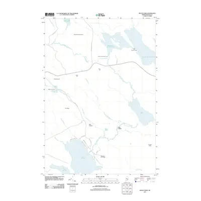
 1987 Rocky Pond1988 Print · USGSHancock County's interior ponds and river branches are captured here in the late eighties, showing a landscape shaped by water and timber. Researchers can trace landforms and landmarks like Dog Corners, the Sevenmile Brook Bluff, and the landings along the Union River.
 - 1987 Map of Lead Mountain, 1988 Print
 1987 Lead Mountain1988 Print · USGSThe remote interior of Washington County comes into focus in the late 1980s, centered on the lakes and ridges of the Narraguagus River valley. Researchers can trace local landmarks like Lower Beddington, the community Cem, and heights like Lead Mountain.
 - 1994 Map of Bangor
 1994 Bangor1994 Print · USGSThe Penobscot River valley and the coastal highlands of eastern Maine are captured here in the mid-1990s. Researchers can trace the industrial rail corridors of the Maine Central Railroad or explore the landscape around Old Town, Bucksport, and Graham Lake.
 - 2011 Map of Tunk Mountain, 2011 Print
 2011 Tunk Mountain2011 Print · USGSCovers T16 MD BPP Township, including Cherryfield, Deblois, and other nearby areas
 - 2011 Map of Molasses Pond, 2011 Print
 2011 Molasses Pond2011 Print · USGSCovers T16 MD BPP Township, including Franklin, Eastbrook, and other nearby areas
 - 2011 Map of Lead Mountain, 2011 Print
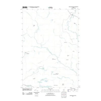
 2011 Lead Mountain2011 Print · USGSCovers T16 MD BPP Township, including Deblois, Beddington, and other nearby areas
 - 2011 Map of Rocky Pond, 2011 Print
 2011 Rocky Pond2011 Print · USGSCovers T16 MD BPP Township, including Aurora, Osborn, and other nearby areas
 - 2014 Map of Rocky Pond, 2014 Print
 2014 Rocky Pond2014 Print · USGSCovers T16 MD BPP Township, including Aurora, Osborn, and other nearby areas
 - 2014 Map of Lead Mountain, 2014 Print
 2014 Lead Mountain2014 Print · USGSCovers T16 MD BPP Township, including Deblois, Beddington, and other nearby areas
 - 2014 Map of Tunk Mountain, 2014 Print
 2014 Tunk Mountain2014 Print · USGSCovers T16 MD BPP Township, including Cherryfield, Deblois, and other nearby areas
 - 2014 Map of Molasses Pond, 2014 Print
 2014 Molasses Pond2014 Print · USGSCovers T16 MD BPP Township, including Franklin, Eastbrook, and other nearby areas
Showing maps 1-25 of 37
Top cities near T16 MD BPP Township
- Hancock historical maps
- Lamoine historical maps
- Gouldsboro historical maps
- Franklin historical maps
- Milbridge historical maps
- Sullivan historical maps
See more
Frequently asked questions
- What are the different types of historical maps available for T16 MD BPP Township?
- What is the oldest map of T16 MD BPP Township?
- Where can I purchase historical maps of T16 MD BPP Township for my home or office?
- Where can I download high-res historical maps of T16 MD BPP Township?
- Are there historical topographic maps available for T16 MD BPP Township?
- Is there historical aerial imagery available for T16 MD BPP Township?
- Where are historical maps of T16 MD BPP Township sourced from?