2000s (21st Century) Maps of Criehaven Township, Maine
Explore 10 historic maps of Criehaven Township from the 2000s (21st Century). These maps offer a rare glimpse into what life looked like during the 2000s — showing old roads, neighborhoods, homes, and landmarks that have changed or disappeared over time.
Whether you're researching your family's past, planning a metal detecting trip, or studying how Criehaven Township's landscape evolved across the 2000s, these high-resolution maps are a powerful tool for exploring the history of this region.
- Focus on a specific era: All maps on this page are from the 2000s, giving you a focused view of this time period.
- See what’s changed: Compare century-old streets, trails, and buildings to today's modern landscape using overlays and satellite layers.
- Research with precision: Use these maps for genealogy, historical research, land use analysis, or educational projects.
- View, download, or print: Maps are fully viewable online in high resolution, and can be downloaded or printed for your own records.
Start exploring Criehaven Township's history through authentic maps from the 2000s. This is your window into the past.
Criehaven Township, ME maps
(10)- 2011 Map of Matinicus OE W, 2011 Print
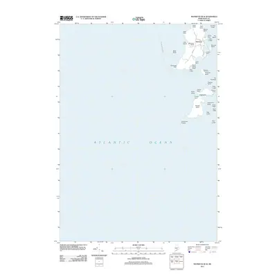 2011 Matinicus OE W2011 Print · USGSMatinicus and Ragged Islands are shown in detail during the early 21st century, capturing the distinct geography of Maine's outer Penobscot Bay. Genealogists and historians can trace the roads of Matinicus or locate landmarks like the Matinicus Post Office and the settlement at Criehaven.
 - 2011 Map of Matinicus, 2011 Print
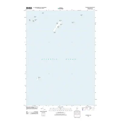 2011 Matinicus2011 Print · USGSCoastal Maine waters near Vinalhaven are documented in this 2011 survey, showing the isolated islands and navigational ledges of the outer bay. Researchers can locate remote maritime landmarks such as Wooden Ball Island, Matinicus Rock, and the sands of Medrick Beach.
 - 2014 Map of Matinicus OE W, 2014 Print
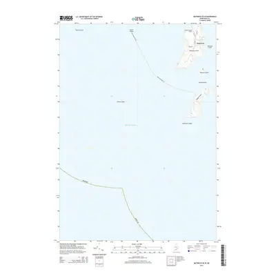 2014 Matinicus OE W2014 Print · USGSMatinicus Isle and its neighboring outposts in the mid-2010s remain some of the most isolated communities on the Maine coast. Genealogists and historians can trace the local road network and island landmarks like Matinicus Island Airport, Ragged Island, and the ferry route to the mainland.
 - 2014 Map of Matinicus, 2014 Print
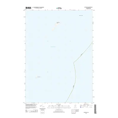 2014 Matinicus2014 Print · USGSThe outer reaches of the Maine coast appear here in the early twenty-first century, documenting the remote islands of the Atlantic. Maritime historians and researchers can locate and study the precise topography of Wooden Ball Island, Matinicus Rock, and Malcolm Ledge.
 - 2018 Map of Matinicus, 2018 Print
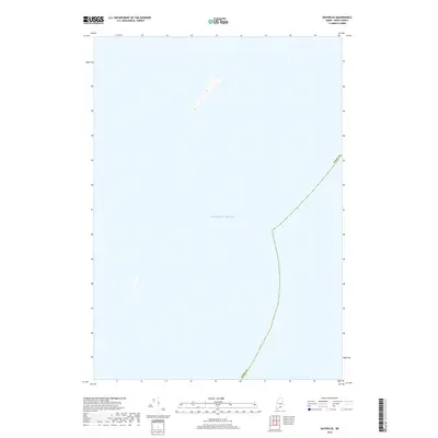 2018 Matinicus2018 Print · USGSCoastal Knox County reaches into the open waters of the Atlantic Ocean in this modern survey of Maine’s maritime boundary. Genealogists and historians can trace the offshore limits of Knox Co and the topography of isolated island landforms.
 - 2018 Map of Matinicus OE W, 2018 Print
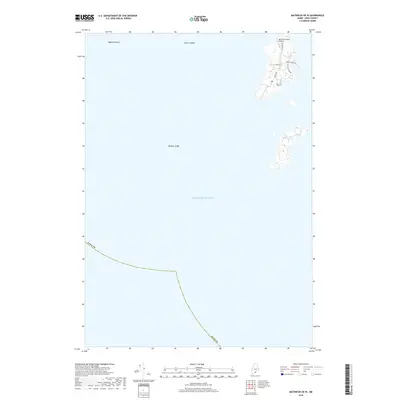 2018 Matinicus OE W2018 Print · USGSMatinicus Isle in the late 2010s remains a singular outpost of Maine island life, connected to the world by a small harbor and air strip. Researchers can trace the local road network including Shag Hollow Rd and Burr Path alongside the PO.
 - 2021 Map of Matinicus OE W, 2021 Print
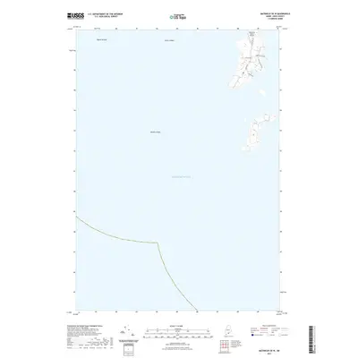 2021 Matinicus OE W2021 Print · USGSThe western reaches of Matinicus Isle are documented here in the early twenty-first century, showing the island's essential transport and coastal geography. Genealogists and local historians can trace family land access via Leach Rd, South Rd, and the Matinicus Island Airport.
 - 2021 Map of Matinicus, 2021 Print
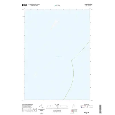 2021 Matinicus2021 Print · USGSThe offshore waters near Vinalhaven, Maine, are captured in this maritime survey from the early 2020s. Genealogists and historians can trace the rocky outcroppings and maritime boundaries within the Atlantic Ocean that define this coastal region.
 - 2024 Map of Matinicus OE W, 2024 Print
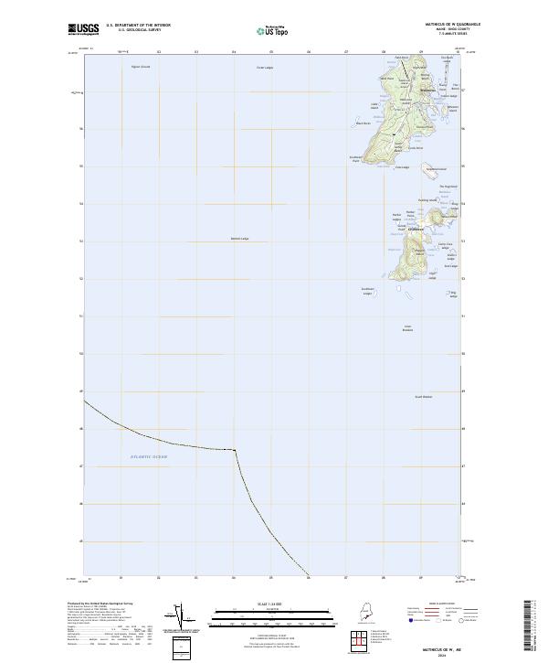 2024 Matinicus OE W2024 Print · USGSIn the remote waters of the Atlantic, this modern survey details the island communities of Matinicus and Criehaven off the Maine coast. Genealogists and island historians can trace local landmarks like Matinicus Island Airport, Markey Beach, and the Everett Libby Ferry landing.
 - 2024 Map of Matinicus, 2024 Print
 2024 Matinicus2024 Print · USGSCoastal Knox County is mapped in this recent survey of the outer islands and navigation ledges of the Atlantic. Researchers can locate the remote Wooden Ball Island and the bird sanctuary at Matinicus Rock, along with landmarks like Medrick Beach.
End of results
Showing maps 1-10 of 10
Top cities near Criehaven Township
- Saint George historical maps
- South Thomaston historical maps
- Owls Head historical maps
- Vinalhaven historical maps
- Matinicus Isle historical maps
- Matinicus Isle Plantation historical maps
See more
Frequently asked questions
- What are the different types of historical maps available for Criehaven Township?
- What is the oldest map of Criehaven Township?
- Where can I purchase historical maps of Criehaven Township for my home or office?
- Where can I download high-res historical maps of Criehaven Township?
- Are there historical topographic maps available for Criehaven Township?
- Is there historical aerial imagery available for Criehaven Township?
- Where are historical maps of Criehaven Township sourced from?