Old Maps of West Boothbay Harbor, Boothbay Harbor for Hiking & Exploration
Hike through history with 19 historic maps of West Boothbay Harbor. Explore old trails, ghost towns, and forgotten backroads — perfect for outdoor adventurers and local explorers.
- Rediscover forgotten places: Map out old mining camps, roads, and footpaths that no longer exist on modern maps.
- Layer with modern tools: Combine with LiDAR or satellite views to plan hikes through historical terrain.
- Made for exploration: Popular among hikers, overlanders, and local history lovers.
Use these maps to find adventure and explore the hidden past of West Boothbay Harbor.
West Boothbay Harbor, Boothbay Harbor maps
(19)- 1893 Map of Boothbay
 1893 Boothbay1893 Print · USGSThe Lincoln County coast in the 1890s is shown in remarkable detail, from the rail lines of the north to the light stations of the Atlantic. Genealogists and historians can trace family-named points and early settlements like Boothbay Harbor, Pemaquid, and Southport.11 unique versions available
 - 1941 Map of Boothbay, 1955 Print
 1941 Boothbay1955 Print · USGSThe Maine Midcoast is captured in the early 1940s, showing a world of interconnected peninsulas and working waterfronts. Genealogists and historians can trace family roots through sites like Woodlawn Cem, Bristol Mills, and the Roosevelt Sch.
 - 1943 Map of Boothbay, 1949 Print
 1943 Boothbay1949 Print · USGSMid-century Lincoln County comes to life in this detailed view of the Maine coast before modern development changed these island communities. Genealogists and historians can trace family locations near Bristol Mills, Christmas Cove, or the historic Fort Edgecomb.
 - 1944 Map of Boothbay
 1944 Boothbay1944 Print · USGSCoastal Lincoln County is charted here during the early years of the war, revealing the intricate maritime geography of the midcoast peninsulas. Genealogists and historians can trace old homesteads and landmarks from Wiscasset to Boothbay Harbor, including sites like Oaklawn Cem and Pemaquid Beach.2 unique versions available
 - 1948 Map of Bath
 1948 Bath1948 Print · USGSMid-coast Maine’s intricate shoreline and island outposts are captured here just after the war. Researchers can trace historic maritime settlements from Bath to Friendship and locate remote landmarks like Monhegan Island and Pemaquid Point.2 unique versions available
 - 1956 Map of Bath, 1974 Print
 1956 Bath1974 Print · USGSCoastal Maine in the mid-fifties reveals a landscape of deep-water harbors and island outposts as the region transitioned from industrial roots to a summer destination. Genealogists can trace maritime families in Boothbay Harbor, Tenants Harbor, and on remote Monhegan Island.
 - 1957 Map of Bath
 1957 Bath1957 Print · USGSThe Maine coast in the mid-fifties is captured here, from the shipbuilding hubs of Bath and Brunswick to the granite reaches of Rockland. Researchers can trace the Maine Central RR line and remote island outposts like Monhegan Island and Matinicus Isle.
 - 1957 Map of Boothbay, 1959 Print
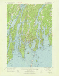 1957 Boothbay1959 Print · USGSThe Maine coastline around the Sheepscot and Damariscotta rivers is shown here during a period of established maritime commerce and coastal growth. Genealogists can trace family names at the Harrington Ch Cem or explore the sites of Fort Edgecomb and Bristol Mills.7 unique versions available
 - 1958 Map of Bath
 1958 Bath1958 Print · USGSCoastal Maine in the late fifties reveals a landscape of industrial river towns and remote island outposts. Genealogists and historians can trace the Maine Central RR through Bath, explore the islands of Muscongus Bay, or locate seafaring families at Pemaquid Point.
 - 1963 Map of Bath
 1963 Bath1963 Print · USGSThe Maine Midcoast in the early sixties remains a world of tidal rivers and jagged peninsulas tied to the sea. Genealogy and local history researchers can trace the rail lines of the Maine Central RR and locate offshore communities like Matinicus Island and Monhegan.2 unique versions available
 - 1965 Map of Bath
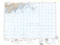 1965 Bath1965 Print · USGSThe Midcoast Maine shoreline and its archipelago come alive in the mid-1960s, showing the region's deep reliance on river and rail. Researchers can trace historic harbor towns like Boothbay Harbor and Damariscotta, and locate coastal landmarks from Pemaquid Point to the Fort Popham Military Res.
 - 1970 Map of Boothbay Harbor, 1974 Print
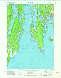 1970 Boothbay Harbor1974 Print · USGSCoastal Maine's intricate network of harbors and islands is captured here during the 1970s, showcasing the region's enduring maritime character. Researchers can trace historic cemeteries and seasonal settlements from the bustling Boothbay Harbor to the quiet shores of Newagen and Reid State Park.2 unique versions available
 - 1985 Map of Bath, 1986 Print
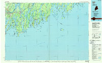 1985 Bath1986 Print · USGSMidcoast Maine in the mid-eighties shows a landscape of deep-water harbors and strategic military installations. Researchers can trace the coastal rail lines of the Maine Central RR and locate landmarks from Popham Beach to the remote Monhegan Plantation.2 unique versions available
 - 1997 Map of Boothbay Harbor, 1999 Print
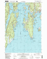 1997 Boothbay Harbor1999 Print · USGSMidcoast Maine’s intricate shoreline is captured here during the late twentieth century, showing the established maritime communities of Boothbay Harbor and Southport. Local historians can trace family locations near Wilson Cem or locate the Lighthouse The Cuckolds and the protected lands of Reid State Park.
 - 2011 Map of Boothbay Harbor, 2011 Print
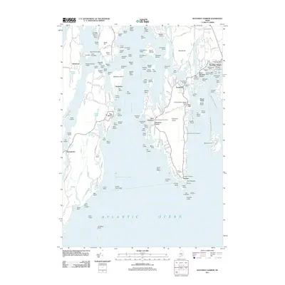 2011 Boothbay Harbor2011 Print · USGSThe Boothbay region of the Maine coast is shown here in the early twenty-first century, detailing its complex network of islands and harbor towns. Researchers can trace local landmarks like Robinson Wharf, the Wiley Cemetery, and the Cuckolds Lighthouse.
 - 2014 Map of Boothbay Harbor, 2014 Print
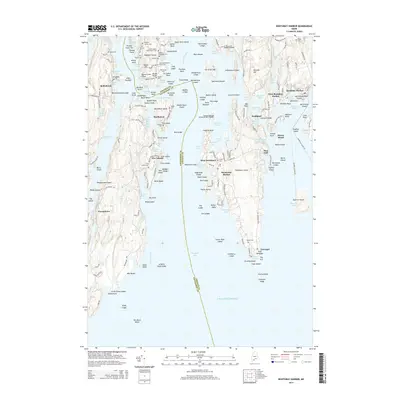 2014 Boothbay Harbor2014 Print · USGSThe Lincoln and Sagadahoc County coastlines are captured here in the early twenty-first century, showing the enduring maritime character of these island communities. Researchers can locate numerous family burial grounds such as Schweppe Cem and Stacy Cem or trace the waterways around Ebenecook Harbor.
 - 2018 Map of Boothbay Harbor, 2018 Print
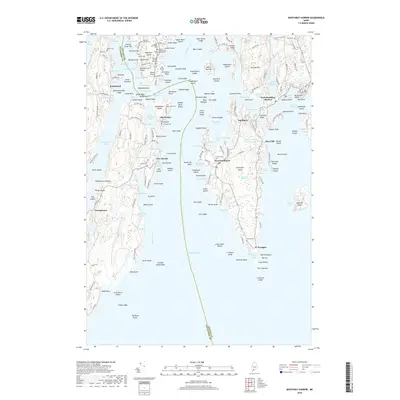 2018 Boothbay Harbor2018 Print · USGSCoastal Maine at the turn of the millennium reveals a complex landscape of tidal rivers and island communities between the Sheepscot and Boothbay. Local historians can trace family lineage through small plots like the Stephen Jewett Cem and explore the maritime layouts of Southport, Newagen, and Five Islands.
 - 2021 Map of Boothbay Harbor, 2021 Print
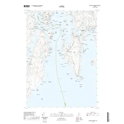 2021 Boothbay Harbor2021 Print · USGSThe Lincoln County coastline comes to life in this detailed 2021 study of the islands and inlets surrounding West Boothbay Harbor. Researchers can trace decades of family history through numerous family plots like the Stephen Jewett Cem and the Old Burying Ground.
 - 2024 Map of Boothbay Harbor, 2024 Print
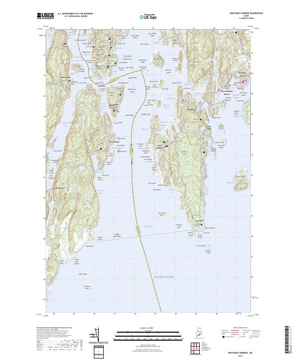 2024 Boothbay Harbor2024 Print · USGSThe Boothbay Harbor region in the 2020s remains a complex landscape of maritime heritage and deep-rooted family lineage. Genealogists can trace local ancestry through numerous small plots like the Stephen Jewett Cem, Thomas Brooks Cem, and the Old Burying Ground.
End of results
Showing maps 1-19 of 19
Top cities near West Boothbay Harbor
- Brunswick historical maps
- Topsham historical maps
- Bath historical maps
- Harpswell historical maps
- Wiscasset historical maps
- Woolwich historical maps
See more
Frequently asked questions
- What are the different types of historical maps available for West Boothbay Harbor?
- What is the oldest map of West Boothbay Harbor?
- Where can I purchase historical maps of West Boothbay Harbor for my home or office?
- Where can I download high-res historical maps of West Boothbay Harbor?
- Are there historical topographic maps available for West Boothbay Harbor?
- Is there historical aerial imagery available for West Boothbay Harbor?
- Where are historical maps of West Boothbay Harbor sourced from?