Old Maps of Glenburn, Maine for Hiking & Exploration
Hike through history with 35 historic maps of Glenburn. Explore old trails, ghost towns, and forgotten backroads — perfect for outdoor adventurers and local explorers.
- Rediscover forgotten places: Map out old mining camps, roads, and footpaths that no longer exist on modern maps.
- Layer with modern tools: Combine with LiDAR or satellite views to plan hikes through historical terrain.
- Made for exploration: Popular among hikers, overlanders, and local history lovers.
Use these maps to find adventure and explore the hidden past of Glenburn.
Glenburn, ME maps
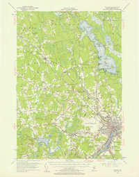
(35)- 1902 Map of Bangor
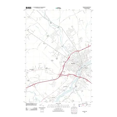
 1902 Bangor1902 Print · USGSThe Penobscot River valley at the turn of the century shows a bustling hub of rail and river commerce connecting Bangor and Brewer. Genealogists and historians can trace old homesteads and transit routes through Kenduskeag, Leather Corner, and along the Maine Central R. R.6 unique versions available
 - 1942 Map of Bangor
 1942 Bangor1942 Print · USGSThe Penobscot River valley thrives in this early-forties survey of the region's industrial and rural heart. Trace the historic street plans of Bangor and Brewer or locate family homesteads near Leather Corner and Snow Corner.
 - 1946 Map of Bangor
 1946 Bangor1946 Print · USGSBangor and the Penobscot River are captured here in the mid-1940s, showing a critical hub of rail transport and military aviation. Local historians can trace the development of Dow Field, find local schools like Tennyson Sch, or locate family plots in Lakeview Cem.3 unique versions available
 - 1948 Map of Bangor
 1948 Bangor1948 Print · USGSThe Maine coast and its industrial river valleys are captured here shortly after the war, showing the vital shipping and rail hubs of the late 1940s. Genealogists and historians can trace the tracks of the Maine Central RR connecting Bangor, Augusta, and Old Town.
 - 1955 Map of Bangor, 1957 Print
 1955 Bangor1957 Print · USGSBangor and the surrounding Penobscot Valley are captured here in the mid-fifties, showing a landscape defined by riverside industry and lakefront life. Researchers can trace historic rail connections at Northern Maine Junction and locate family landmarks like Lakeside Ldg or Evergreen Cem.3 unique versions available
 - 1956 Map of Bangor, 1966 Print
 1956 Bangor1966 Print · USGSMid-century Maine comes alive in this survey of the rugged coast and river valleys during the 1950s. Genealogists and historians can trace the vital rail corridors of the Maine Central RR connecting timber towns like Old Town to the coast at Bar Harbor.3 unique versions available
 - 1960 Map of Bangor
 1960 Bangor1960 Print · USGSCentral Maine in the sixties reveals a landscape of river-powered industry and sprawling coastal island chains. Researchers can trace the rail corridors of the Maine Central or locate mid-century aviation landmarks like Dow Air Force Base.
 - 1961 Map of Bangor
 1961 Bangor1961 Print · USGSMid-century Maine comes alive through its busy river ports and rocky archipelagoes during a period of steady maritime and rail commerce. Researchers can trace the path of the Maine Central railroad and locate coastal landmarks from Acadia National Park to Vinalhaven Island.
 - 1977 Map of Pushaw Lake
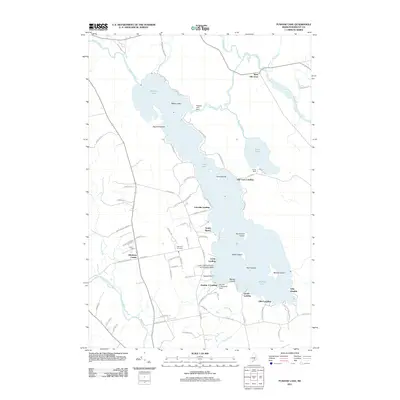
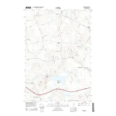
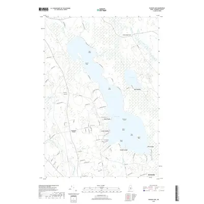
 1977 Pushaw Lake1977 Print · USGSPenobscot County life in the late seventies is centered on the expansive waters of Pushaw Lake and the rural crossroads of Glenburn Center. Genealogists and local historians can trace the Bangor and Aroostook rail line, locate Lakeview Cem, or explore the many landings like Elliot Landing.
 - 1977 Map of Kenduskeag
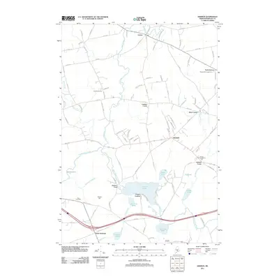
 1977 Kenduskeag1977 Print · USGSPenobscot County in the late seventies is captured here at the meeting of Kenduskeag Stream and Black Stream. Researchers can trace old family burial grounds at Evergreen Cem, visit the Covered Bridge near Robyville, or locate the airstrip at Robbins Field.2 unique versions available
 - 1978 Map of Hermon
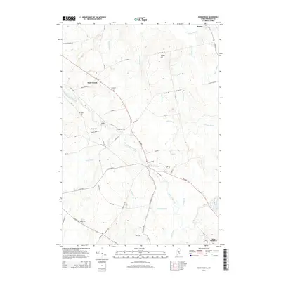
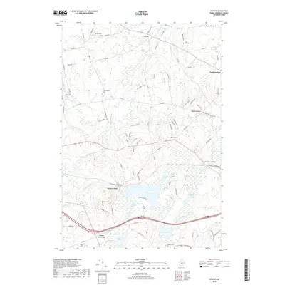
 1978 Hermon1978 Print · USGSPenobscot County is captured here in the late seventies, showing a landscape of railroad crossings, small corners, and marshlands. Researchers can trace family history through local burial sites like Lakeview Cem or locate the old Slate Quarry and the Maine Central rail line.
 - 1978 Map of Bangor, 1979 Print
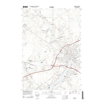
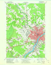 1978 Bangor1979 Print · USGSGreater Bangor at the close of the 1970s shows a classic Maine river city balancing its rail-and-river heritage with modern aviation. Genealogists and historians can locate family plots at Mt Pleasant Cem or trace the early paths of the Maine Central Railroad.2 unique versions available
 - 1985 Map of Bangor
 1985 Bangor1985 Print · USGSMid-Maine during the mid-eighties centers on the industrial pulse of the Penobscot River and its critical rail connections. Genealogists and historians can trace the development of river towns from Old Town to Ellsworth and locate regional landmarks like Fort Knox State Park.
 - 1994 Map of Bangor
 1994 Bangor1994 Print · USGSThe Penobscot River valley and the coastal highlands of eastern Maine are captured here in the mid-1990s. Researchers can trace the industrial rail corridors of the Maine Central Railroad or explore the landscape around Old Town, Bucksport, and Graham Lake.
 - 1996 Map of Bangor, 2000 Print
 1996 Bangor2000 Print · USGSBangor and the Penobscot River valley are captured in the mid-nineties, showing a landscape defined by collegiate growth and aviation infrastructure. Researchers can trace the development of Husson College and the Bangor International Airport alongside landmarks like Northern Maine Junction.
 - 2011 Map of Kenduskeag, 2011 Print
 2011 Kenduskeag2011 Print · USGSCovers Glenburn, including Levant, Corinth, and other nearby areas
 - 2011 Map of Bangor, 2011 Print
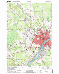
 2011 Bangor2011 Print · USGSCovers Glenburn, including Bangor, Orono, and other nearby areas
 - 2011 Map of Pushaw Lake, 2011 Print
 2011 Pushaw Lake2011 Print · USGSCovers Glenburn, including Bangor, Orono, and other nearby areas
 - 2011 Map of Hermon, 2011 Print
 2011 Hermon2011 Print · USGSCovers Glenburn, including Hampden, Hermon, and other nearby areas
 - 2014 Map of Kenduskeag, 2014 Print
 2014 Kenduskeag2014 Print · USGSCovers Glenburn, including Levant, Corinth, and other nearby areas
 - 2014 Map of Hermon, 2014 Print
 2014 Hermon2014 Print · USGSCovers Glenburn, including Hampden, Hermon, and other nearby areas
 - 2014 Map of Pushaw Lake, 2014 Print
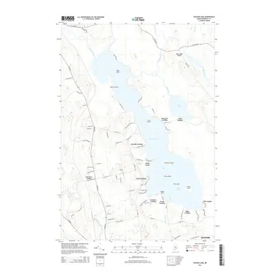 2014 Pushaw Lake2014 Print · USGSCovers Glenburn, including Bangor, Orono, and other nearby areas
 - 2014 Map of Bangor, 2014 Print
 2014 Bangor2014 Print · USGSCovers Glenburn, including Bangor, Orono, and other nearby areas
 - 2018 Map of Hermon, 2018 Print
 2018 Hermon2018 Print · USGSCovers Glenburn, including Hampden, Hermon, and other nearby areas
 - 2018 Map of Pushaw Lake, 2018 Print
 2018 Pushaw Lake2018 Print · USGSCovers Glenburn, including Bangor, Orono, and other nearby areas
Showing maps 1-25 of 35
Top cities near Glenburn
- Bangor historical maps
- Orono historical maps
- Brewer historical maps
- Hampden historical maps
- Old Town historical maps
- Hermon historical maps
See more
Top neighborhoods of Glenburn
- Glenburn Center historical maps
- Lakeside Landing historical maps
- Sandy Beach historical maps
- Lucky Landing historical maps
- West Glenburn historical maps
Frequently asked questions
- What are the different types of historical maps available for Glenburn?
- What is the oldest map of Glenburn?
- Where can I purchase historical maps of Glenburn for my home or office?
- Where can I download high-res historical maps of Glenburn?
- Are there historical topographic maps available for Glenburn?
- Is there historical aerial imagery available for Glenburn?
- Where are historical maps of Glenburn sourced from?