Old Maps of Glenburn, Maine for Metal Detecting
Plan your next treasure hunt with 35 historic maps of Glenburn. Find old homesites, ghost towns, trails, and gathering spots that may be lost to time — perfect for identifying promising metal detecting locations.
- Locate forgotten sites: Uncover places like long-lost settlements, abandoned rail lines, or gathering spots.
- Plan better hunts: Use map overlays combined with LiDAR or satellite views to narrow in on historically rich areas.
- Made for detectorists: Thousands of hobbyists use these maps to discover relics, coins, and hidden history.
Use these historic maps to boost your research and find new opportunities beneath the surface of Glenburn.
Glenburn, ME maps
(35)- 1902 Map of Bangor
 1902 Bangor1902 Print · USGSThe Penobscot River valley at the turn of the century shows a bustling hub of rail and river commerce connecting Bangor and Brewer. Genealogists and historians can trace old homesteads and transit routes through Kenduskeag, Leather Corner, and along the Maine Central R. R.6 unique versions available
 - 1942 Map of Bangor
 1942 Bangor1942 Print · USGSThe Penobscot River valley thrives in this early-forties survey of the region's industrial and rural heart. Trace the historic street plans of Bangor and Brewer or locate family homesteads near Leather Corner and Snow Corner.
 - 1946 Map of Bangor
 1946 Bangor1946 Print · USGSBangor and the Penobscot River are captured here in the mid-1940s, showing a critical hub of rail transport and military aviation. Local historians can trace the development of Dow Field, find local schools like Tennyson Sch, or locate family plots in Lakeview Cem.3 unique versions available
 - 1948 Map of Bangor
 1948 Bangor1948 Print · USGSThe Maine coast and its industrial river valleys are captured here shortly after the war, showing the vital shipping and rail hubs of the late 1940s. Genealogists and historians can trace the tracks of the Maine Central RR connecting Bangor, Augusta, and Old Town.
 - 1955 Map of Bangor, 1957 Print
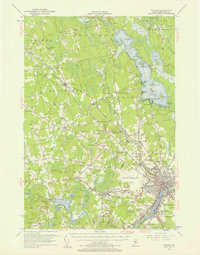 1955 Bangor1957 Print · USGSBangor and the surrounding Penobscot Valley are captured here in the mid-fifties, showing a landscape defined by riverside industry and lakefront life. Researchers can trace historic rail connections at Northern Maine Junction and locate family landmarks like Lakeside Ldg or Evergreen Cem.3 unique versions available
 - 1956 Map of Bangor, 1966 Print
 1956 Bangor1966 Print · USGSMid-century Maine comes alive in this survey of the rugged coast and river valleys during the 1950s. Genealogists and historians can trace the vital rail corridors of the Maine Central RR connecting timber towns like Old Town to the coast at Bar Harbor.3 unique versions available
 - 1960 Map of Bangor
 1960 Bangor1960 Print · USGSCentral Maine in the sixties reveals a landscape of river-powered industry and sprawling coastal island chains. Researchers can trace the rail corridors of the Maine Central or locate mid-century aviation landmarks like Dow Air Force Base.
 - 1961 Map of Bangor
 1961 Bangor1961 Print · USGSMid-century Maine comes alive through its busy river ports and rocky archipelagoes during a period of steady maritime and rail commerce. Researchers can trace the path of the Maine Central railroad and locate coastal landmarks from Acadia National Park to Vinalhaven Island.
 - 1977 Map of Pushaw Lake
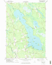 1977 Pushaw Lake1977 Print · USGSPenobscot County life in the late seventies is centered on the expansive waters of Pushaw Lake and the rural crossroads of Glenburn Center. Genealogists and local historians can trace the Bangor and Aroostook rail line, locate Lakeview Cem, or explore the many landings like Elliot Landing.
 - 1977 Map of Kenduskeag
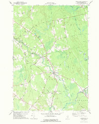 1977 Kenduskeag1977 Print · USGSPenobscot County in the late seventies is captured here at the meeting of Kenduskeag Stream and Black Stream. Researchers can trace old family burial grounds at Evergreen Cem, visit the Covered Bridge near Robyville, or locate the airstrip at Robbins Field.2 unique versions available
 - 1978 Map of Hermon
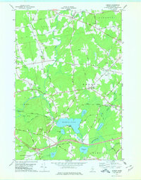 1978 Hermon1978 Print · USGSPenobscot County is captured here in the late seventies, showing a landscape of railroad crossings, small corners, and marshlands. Researchers can trace family history through local burial sites like Lakeview Cem or locate the old Slate Quarry and the Maine Central rail line.
 - 1978 Map of Bangor, 1979 Print
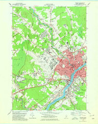 1978 Bangor1979 Print · USGSGreater Bangor at the close of the 1970s shows a classic Maine river city balancing its rail-and-river heritage with modern aviation. Genealogists and historians can locate family plots at Mt Pleasant Cem or trace the early paths of the Maine Central Railroad.2 unique versions available
 - 1985 Map of Bangor
 1985 Bangor1985 Print · USGSMid-Maine during the mid-eighties centers on the industrial pulse of the Penobscot River and its critical rail connections. Genealogists and historians can trace the development of river towns from Old Town to Ellsworth and locate regional landmarks like Fort Knox State Park.
 - 1994 Map of Bangor
 1994 Bangor1994 Print · USGSThe Penobscot River valley and the coastal highlands of eastern Maine are captured here in the mid-1990s. Researchers can trace the industrial rail corridors of the Maine Central Railroad or explore the landscape around Old Town, Bucksport, and Graham Lake.
 - 1996 Map of Bangor, 2000 Print
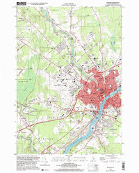 1996 Bangor2000 Print · USGSBangor and the Penobscot River valley are captured in the mid-nineties, showing a landscape defined by collegiate growth and aviation infrastructure. Researchers can trace the development of Husson College and the Bangor International Airport alongside landmarks like Northern Maine Junction.
 - 2011 Map of Kenduskeag, 2011 Print
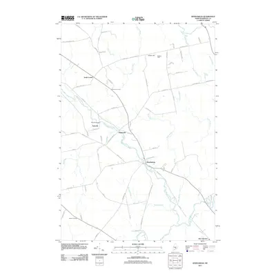 2011 Kenduskeag2011 Print · USGSPenobscot County in the early twenty-first century reveals a landscape shaped by water and tradition, from the banks of Kenduskeag Stream to South Corinth. Researchers can trace local heritage through landmarks like Robyville Bridge and the Evergreen Cemetery.
 - 2011 Map of Bangor, 2011 Print
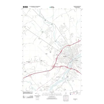 2011 Bangor2011 Print · USGSBangor and Brewer sit at the heart of the Penobscot River valley during the early 2000s, showing a blend of historic landmarks and modern transport hubs. Researchers can trace the layout of Northern Maine Junction or locate the iconic Thomas Hill Standpipe and Morse Covered Bridge.
 - 2011 Map of Pushaw Lake, 2011 Print
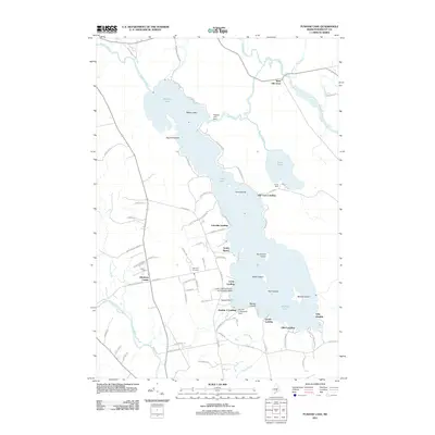 2011 Pushaw Lake2011 Print · USGSPushaw Lake and the surrounding landings in central Maine are shown here during a period of active lakeside settlement and recreation. Researchers can trace family-named points and early infrastructure like Lakeview Cemetery, the Pushaw Lake Dam, and the Lucky Landing Marina and Seaplane Base.
 - 2011 Map of Hermon, 2011 Print
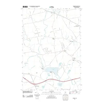 2011 Hermon2011 Print · USGSPenobscot County in the early 2000s shows a landscape of interconnected waterways and historic crossroads. Genealogists and local historians can trace family locations near Leathers Corner, Fowler Landing, and the Pine Tree Cemetery.
 - 2014 Map of Kenduskeag, 2014 Print
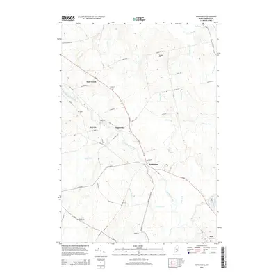 2014 Kenduskeag2014 Print · USGSPenobscot County in the early 2010s remains a landscape of winding waterways and historic rural settlements. Researchers can trace the paths of Kenduskeag Stream and Pushaw Stream while locating the Robyville Bridge and ancestral sites like Evergreen Cem.
 - 2014 Map of Hermon, 2014 Print
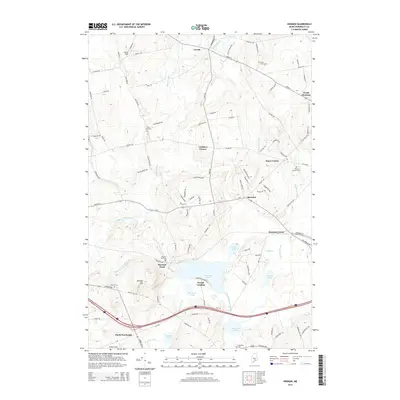 2014 Hermon2014 Print · USGSPenobscot County at the start of the 2010s shows a landscape of interconnected rural hamlets and evolving residential pockets. Researchers can trace family history through several local burial grounds like Birch Grove Cem or locate old water-access points at Fowler Landing.
 - 2014 Map of Pushaw Lake, 2014 Print
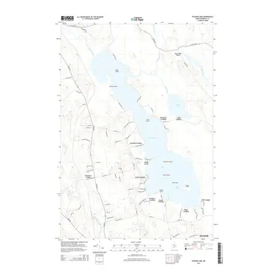 2014 Pushaw Lake2014 Print · USGSPenobscot County life centers on the water in this mid-2010s survey of the lake country north of the city. Genealogists and local historians can trace the lakeside developments and landings from Glenburn Center to Old Town Landing and Lakeview Cem.
 - 2014 Map of Bangor, 2014 Print
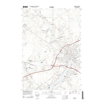 2014 Bangor2014 Print · USGSBangor and Brewer are captured in the early twenty-first century, showing the enduring importance of the Penobscot River to the region's layout. Researchers can trace local history through the many burial grounds like Oak Hill Cem or locate historical crossings such as the Morse Covered Bridge.
 - 2018 Map of Hermon, 2018 Print
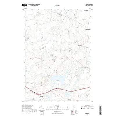 2018 Hermon2018 Print · USGSPenobscot County communities such as Hermon and Levant are documented here in recent years, showing a landscape of interconnected ponds and rural hamlets. Researchers can locate several historical burial sites like Birch Grove Cem, Snows Corner Cem, and Rug Le Cem.
 - 2018 Map of Pushaw Lake, 2018 Print
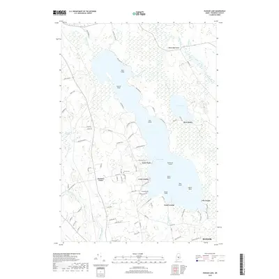 2018 Pushaw Lake2018 Print · USGSPushaw Lake and the northern outskirts of Bangor are shown here in the late 2010s, revealing a landscape shaped by its vast wetlands and lakeside communities. Local researchers can trace the shoreline landings and inland sites like Glenburn Center, Villa Vaughn, and Lakeview Cem.
Showing maps 1-25 of 35
Top cities near Glenburn
- Bangor historical maps
- Orono historical maps
- Brewer historical maps
- Hampden historical maps
- Old Town historical maps
- Hermon historical maps
See more
Top neighborhoods of Glenburn
- Glenburn Center historical maps
- Lakeside Landing historical maps
- Sandy Beach historical maps
- Lucky Landing historical maps
- West Glenburn historical maps
Frequently asked questions
- What are the different types of historical maps available for Glenburn?
- What is the oldest map of Glenburn?
- Where can I purchase historical maps of Glenburn for my home or office?
- Where can I download high-res historical maps of Glenburn?
- Are there historical topographic maps available for Glenburn?
- Is there historical aerial imagery available for Glenburn?
- Where are historical maps of Glenburn sourced from?