2000s (21st Century) Maps of Bowdoin College Grant West Township, Maine
Explore 25 historic maps of Bowdoin College Grant West Township from the 2000s (21st Century). These maps offer a rare glimpse into what life looked like during the 2000s — showing old roads, neighborhoods, homes, and landmarks that have changed or disappeared over time.
Whether you're researching your family's past, planning a metal detecting trip, or studying how Bowdoin College Grant West Township's landscape evolved across the 2000s, these high-resolution maps are a powerful tool for exploring the history of this region.
- Focus on a specific era: All maps on this page are from the 2000s, giving you a focused view of this time period.
- See what’s changed: Compare century-old streets, trails, and buildings to today's modern landscape using overlays and satellite layers.
- Research with precision: Use these maps for genealogy, historical research, land use analysis, or educational projects.
- View, download, or print: Maps are fully viewable online in high resolution, and can be downloaded or printed for your own records.
Start exploring Bowdoin College Grant West Township's history through authentic maps from the 2000s. This is your window into the past.
Bowdoin College Grant West Township, ME maps
(25)- 2011 Map of Barren Mountain East, 2011 Print
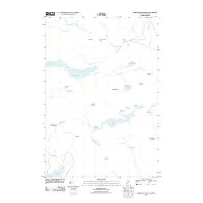 2011 Barren Mountain East2011 Print · USGSThe Maine wilderness near Bowerbank remains a landscape of high ridges and cascading water in the early twenty-first century. Researchers can trace historic access routes like Katahdin Iron Works Rd or locate landmarks such as the Barren Mountain Lookout Tower and The Hermitage.
 - 2011 Map of Hay Mountain, 2011 Print
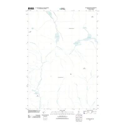 2011 Hay Mountain2011 Print · USGSPiscataquis County remains a pristine wilderness of interconnected waterways and peaks in this early 21st-century survey. Trace the remote Little Lyford Pond Camps and the intricate headwaters of the West Branch Pleasant River and Big Lyford Pond.
 - 2011 Map of Number Four Mountain, 2011 Print
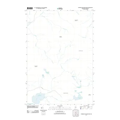 2011 Number Four Mountain2011 Print · USGSThe Maine North Woods are seen here in the early twenty-first century, showing a remote mountain landscape east of Moosehead Lake. Trace the drainage basins and peaks of Elephant Mountain and Upper Wilson Pond, or find backcountry access along Scammon Rd.
 - 2011 Map of Barren Mountain West, 2011 Print
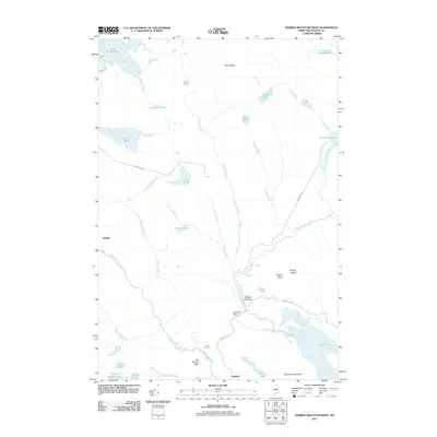 2011 Barren Mountain West2011 Print · USGSThe Piscataquis County woods are captured here in the early twenty-first century, showcasing a landscape of remote timber camps and high mountain peaks. Genealogists and historians can trace the locations of Bodfish, Saint Regis Depot Camp, and the waters of Lake Onawa.
 - 2011 Map of Lily Bay, 2011 Print
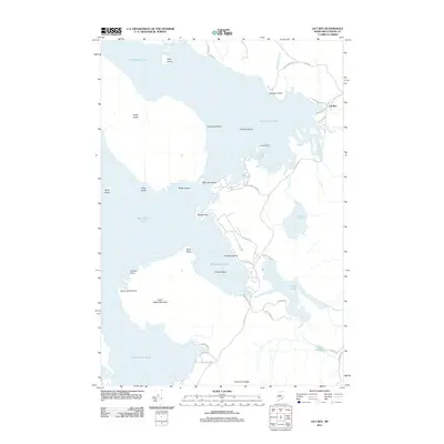 2011 Lily Bay2011 Print · USGSIn the Maine north woods during the early twenty-first century, this area shows a landscape defined by the expansive waters of Moosehead Lake. Researchers can trace old timber roads and shoreline points from Carleton Point to the heights of Burnt Jacket Mountain.
 - 2014 Map of Number Four Mountain, 2014 Print
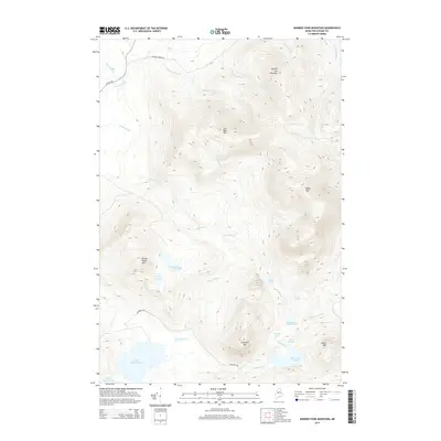 2014 Number Four Mountain2014 Print · USGSPiscataquis County’s high peaks and remote ponds are captured here in the early twenty-first century. Researchers and outdoorsmen can trace the rugged drainages of Lily Bay Brook and locate quiet landmarks like Baker Pond and Elephant Mtn.
 - 2014 Map of Barren Mountain West, 2014 Print
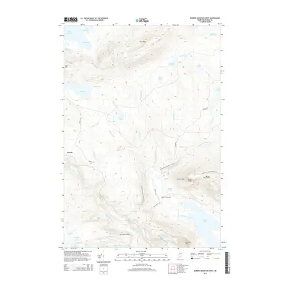 2014 Barren Mountain West2014 Print · USGSPiscataquis County’s interior woods are captured in this mid-2010s survey as the Appalachian Trail winds through the high peaks. Local historians can trace the remote settlements of Morkill and Bodfish Intervale alongside landmarks like Slungundy Falls.
 - 2014 Map of Barren Mountain East, 2014 Print
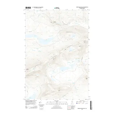 2014 Barren Mountain East2014 Print · USGSThe Maine wilderness of the early twenty-first century is captured here as the Appalachian National Scenic Trail winds through the high peaks of Piscataquis County. Researchers can trace the path over Barren Mountain and find remote water features like Screw Auger Falls and Long Pond.
 - 2014 Map of Hay Mountain, 2014 Print
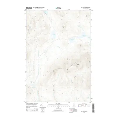 2014 Hay Mountain2014 Print · USGSThe Maine wilderness at the start of the century reveals a landscape shaped by high peaks and the winding Appalachian National Scenic Trail. Trace the path of hikers over West Peak or explore the remote waters of Big Lyford Pond and Little Lyford Ponds.
 - 2014 Map of Lily Bay, 2014 Print
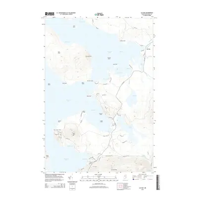 2014 Lily Bay2014 Print · USGSMoosehead Lake and its surrounding woodlands are shown here in the mid-2010s, capturing the points and islands of this storied Maine landscape. Trace the shoreline from Burnt Jacket Point to Lily Bay, or locate Sugar Island and the heights of Burnt Jacket Mtn.
 - 2018 Map of Barren Mountain East, 2018 Print
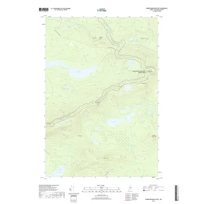 2018 Barren Mountain East2018 Print · USGSThe Piscataquis County backcountry comes into focus in this modern survey of the high ridges and watercourses east of Barren Mountain. Trace the path of the Appalachian National Scenic Trail as it crosses peaks like Columbus Mtn and passes the remote Cloud Pond.
 - 2018 Map of Barren Mountain West, 2018 Print
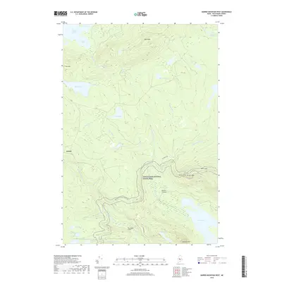 2018 Barren Mountain West2018 Print · USGSPiscataquis County's highland wilderness is captured in the late 2010s, showing the intersection of legendary hiking routes and remote Maine terrain. Trace the path of the Appalachian National Scenic Trail past Slugundy Falls and the settlement of Morkill.
 - 2018 Map of Number Four Mountain, 2018 Print
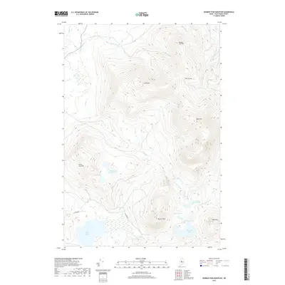 2018 Number Four Mountain2018 Print · USGSThe Piscataquis County highlands are captured here in 2018, showing the area's massive peaks and high-altitude water systems. Researchers can trace the rugged drainage patterns from Lily Bay Mtn down to Upper Wilson Pond and Baker Pond.
 - 2018 Map of Lily Bay, 2018 Print
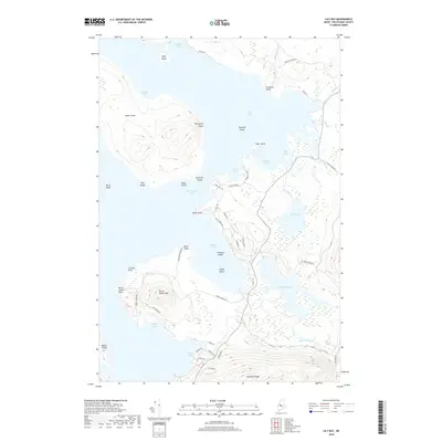 2018 Lily Bay2018 Print · USGSMoosehead Lake and the surrounding Piscataquis County highlands are shown in detail during the late twenty-tens. Map collectors and local historians can trace the shoreline from Lily Bay to Burnt Jacket Mtn and locate landings at Carleton Point or Beaver Cove.
 - 2018 Map of Hay Mountain, 2018 Print
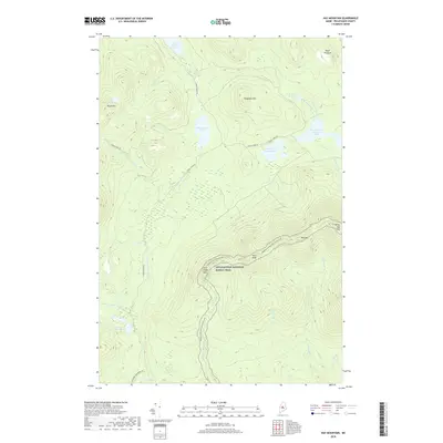 2018 Hay Mountain2018 Print · USGSUpper Piscataquis County in the late twenty-teens remains a landscape of high summits and winding waterways. Hikers and historians can trace the Appalachian National Scenic Trail as it surmounts Hay Mtn and skirts the Little Lyford Ponds.
 - 2021 Map of Lily Bay, 2021 Print
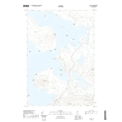 2021 Lily Bay2021 Print · USGSThe eastern shores of Moosehead Lake come into focus in this recent survey, capturing the region's interplay of high ridges and deep coves. Trace the local topography from Burnt Jacket Mtn down to the shores of Beaver Cove and Prong Pond.
 - 2021 Map of Number Four Mountain, 2021 Print
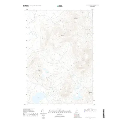 2021 Number Four Mountain2021 Print · USGSPiscataquis County remains a wilderness stronghold in the early twenty-first century, defined by its massive peaks and secluded waters. Researchers can trace the high-elevation terrain of Number Four Mtn and remote basins like Upper Wilson Pond and Baker Pond.
 - 2021 Map of Barren Mountain East, 2021 Print
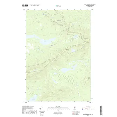 2021 Barren Mountain East2021 Print · USGSBowerbank and the Maine wilderness are shown here at the start of the 2020s, a period of continued conservation and trail maintenance. Researchers can trace the Appalachian National Scenic Trl over Barren Mtn or locate historic water features like Billings Falls and Rays Mill Pond.
 - 2021 Map of Hay Mountain, 2021 Print
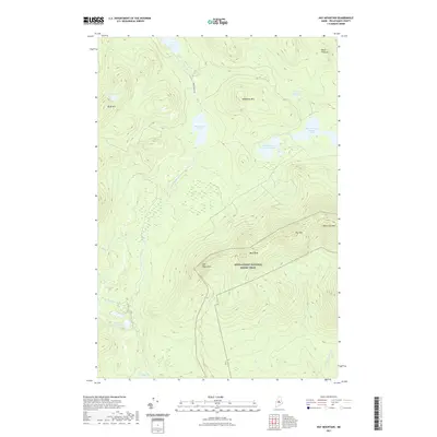 2021 Hay Mountain2021 Print · USGSPiscataquis County's high ridges and remote waters are captured here in the early twenty-first century. Hikers and researchers can trace the Appalachian National Scenic Trail as it crosses White Cap Mtn and Gulf Hagas Mtn.
 - 2021 Map of Barren Mountain West, 2021 Print
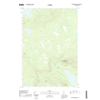 2021 Barren Mountain West2021 Print · USGSThe Maine backcountry in the early twenty-first century reveals a dense network of mountain ridges and remote glacial ponds. Genealogists and hikers can trace the Appalachian National Scenic Trail as it passes Barren Mtn and the settlement at Morkill.
 - 2024 Map of Hay Mountain, 2024 Print
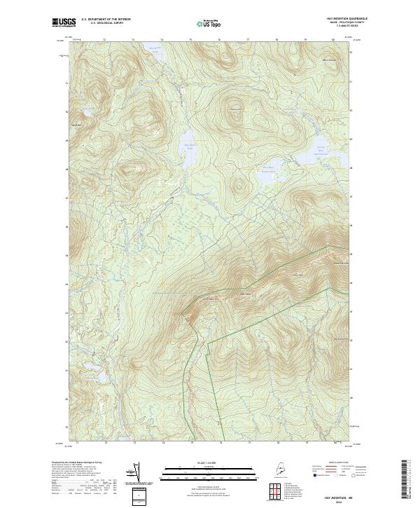 2024 Hay Mountain2024 Print · USGSPiscataquis County remains a wilderness stronghold in the early twenty-first century, dominated by high peaks and remote ponds. Hikers and researchers can trace the legendary Appalachian National Scenic Trl as it crosses Hay Mtn and Gulf Hagas Mtn.
 - 2024 Map of Barren Mountain West, 2024 Print
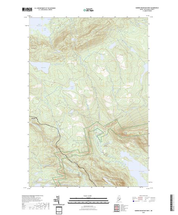 2024 Barren Mountain West2024 Print · USGSPiscataquis County's interior wilderness is documented here in the early twenty-first century, showing the intersection of legendary footpaths and timber lands. Trace the route of the Appalachian National Scenic Trail as it passes Slugundy Falls and the dramatic Barren Slide.
 - 2024 Map of Number Four Mountain, 2024 Print
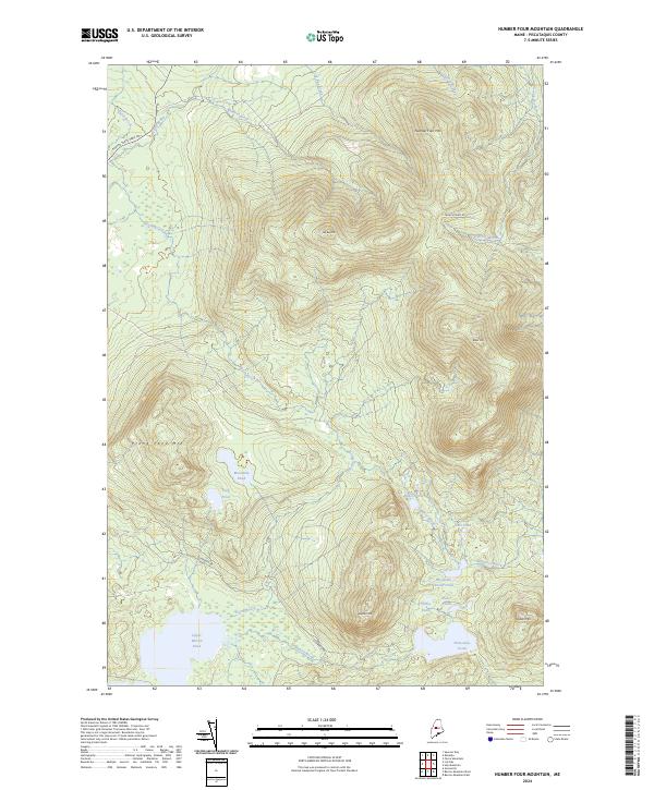 2024 Number Four Mountain2024 Print · USGSThe North Woods of Maine are defined here by high peaks and remote water bodies in the twenty-first century. Researchers can map the drainage of Lily Bay Brook or locate high-altitude waters like Mountain Pond and Baker Pond between the slopes of Lily Bay Mtn and Elephant Mtn.
 - 2024 Map of Lily Bay, 2024 Print
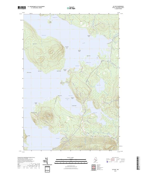 2024 Lily Bay2024 Print · USGSPiscataquis County, Maine, is shown here during its modern era of lakefront activity and recreational development. Researchers can trace landforms and local routes like Kokadjo Rd to reach Burnt Jacket Mtn, Beaver Cove, and Sugar Island.
 - 2024 Map of Barren Mountain East, 2024 Print
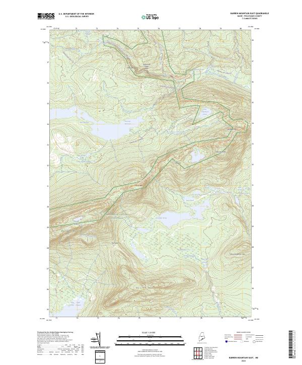 2024 Barren Mountain East2024 Print · USGSPiscataquis County's high ridges and river cataracts are documented in this modern survey of the Maine North Woods. Researchers can trace the Appalachian National Scenic Trail over Barren Mtn and find historical sites like Rays Mill Pond.
End of results
Showing maps 1-25 of 25
Top cities near Bowdoin College Grant West Township
- Greenville historical maps
- Monson historical maps
- Shirley historical maps
- Bowerbank historical maps
- Willimantic historical maps
- Beaver Cove historical maps
See more
Frequently asked questions
- What are the different types of historical maps available for Bowdoin College Grant West Township?
- What is the oldest map of Bowdoin College Grant West Township?
- Where can I purchase historical maps of Bowdoin College Grant West Township for my home or office?
- Where can I download high-res historical maps of Bowdoin College Grant West Township?
- Are there historical topographic maps available for Bowdoin College Grant West Township?
- Is there historical aerial imagery available for Bowdoin College Grant West Township?
- Where are historical maps of Bowdoin College Grant West Township sourced from?