2000s (21st Century) Maps of Anson, Maine
Explore 25 historic maps of Anson from the 2000s (21st Century). These maps offer a rare glimpse into what life looked like during the 2000s — showing old roads, neighborhoods, homes, and landmarks that have changed or disappeared over time.
Whether you're researching your family's past, planning a metal detecting trip, or studying how Anson's landscape evolved across the 2000s, these high-resolution maps are a powerful tool for exploring the history of this region.
- Focus on a specific era: All maps on this page are from the 2000s, giving you a focused view of this time period.
- See what’s changed: Compare century-old streets, trails, and buildings to today's modern landscape using overlays and satellite layers.
- Research with precision: Use these maps for genealogy, historical research, land use analysis, or educational projects.
- View, download, or print: Maps are fully viewable online in high resolution, and can be downloaded or printed for your own records.
Start exploring Anson's history through authentic maps from the 2000s. This is your window into the past.
Anson, ME maps
(25)- 2011 Map of New Vineyard, 2011 Print
 2011 New Vineyard2011 Print · USGSCovers Anson, including Farmington, Industry, and other nearby areas
 - 2011 Map of Madison West, 2011 Print
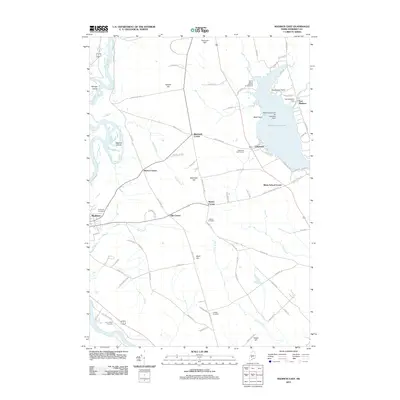
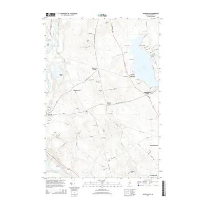
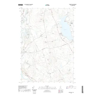
 2011 Madison West2011 Print · USGSCovers Anson, including Madison, Norridgewock, and other nearby areas
 - 2011 Map of Embden Pond, 2011 Print
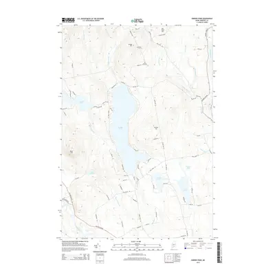
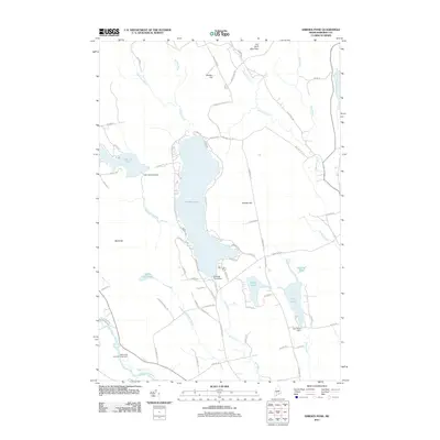 2011 Embden Pond2011 Print · USGSCovers Anson, including Embden, Bingham, and other nearby areas
 - 2011 Map of Madison East, 2011 Print
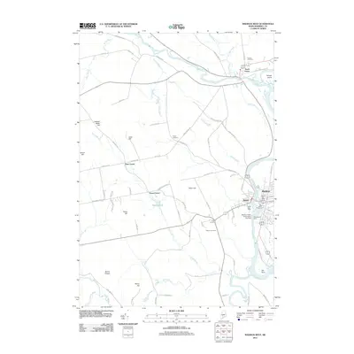
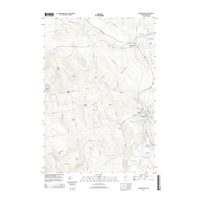
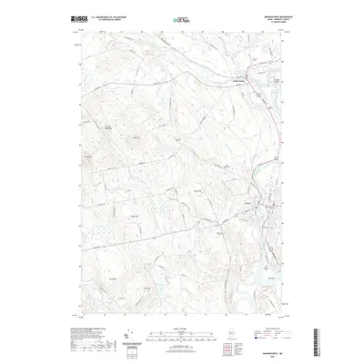
 2011 Madison East2011 Print · USGSCovers Anson, including Skowhegan, Madison, and other nearby areas
 - 2011 Map of Solon, 2011 Print
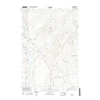
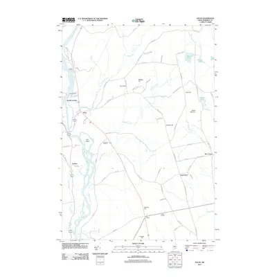 2011 Solon2011 Print · USGSCovers Anson, including Madison, Cornville, and other nearby areas
 - 2014 Map of Madison East, 2014 Print
 2014 Madison East2014 Print · USGSCovers Anson, including Skowhegan, Madison, and other nearby areas
 - 2014 Map of Madison West, 2014 Print
 2014 Madison West2014 Print · USGSCovers Anson, including Madison, Norridgewock, and other nearby areas
 - 2014 Map of Solon, 2014 Print
 2014 Solon2014 Print · USGSCovers Anson, including Madison, Cornville, and other nearby areas
 - 2014 Map of Embden Pond, 2014 Print
 2014 Embden Pond2014 Print · USGSCovers Anson, including Embden, Bingham, and other nearby areas
 - 2014 Map of New Vineyard, 2014 Print
 2014 New Vineyard2014 Print · USGSCovers Anson, including Farmington, Industry, and other nearby areas
 - 2018 Map of Embden Pond, 2018 Print
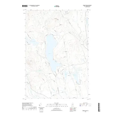 2018 Embden Pond2018 Print · USGSCovers Anson, including Embden, Bingham, and other nearby areas
 - 2018 Map of Solon, 2018 Print
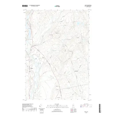 2018 Solon2018 Print · USGSCovers Anson, including Madison, Cornville, and other nearby areas
 - 2018 Map of Madison West, 2018 Print
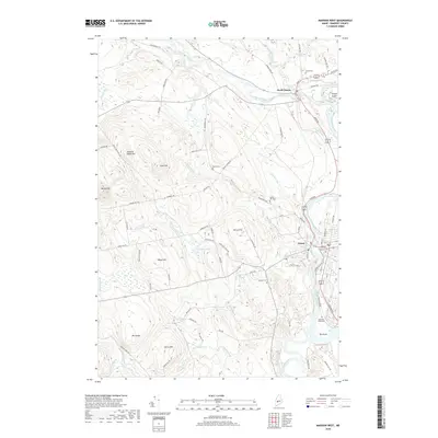 2018 Madison West2018 Print · USGSCovers Anson, including Madison, Norridgewock, and other nearby areas
 - 2018 Map of Madison East, 2018 Print
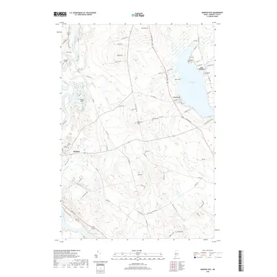 2018 Madison East2018 Print · USGSCovers Anson, including Skowhegan, Madison, and other nearby areas
 - 2018 Map of New Vineyard, 2018 Print
 2018 New Vineyard2018 Print · USGSCovers Anson, including Farmington, Industry, and other nearby areas
 - 2021 Map of New Vineyard, 2021 Print
 2021 New Vineyard2021 Print · USGSCovers Anson, including Farmington, Industry, and other nearby areas
 - 2021 Map of Madison East, 2021 Print
 2021 Madison East2021 Print · USGSCovers Anson, including Skowhegan, Madison, and other nearby areas
 - 2021 Map of Solon, 2021 Print
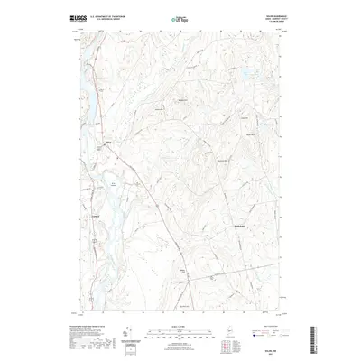 2021 Solon2021 Print · USGSCovers Anson, including Madison, Cornville, and other nearby areas
 - 2021 Map of Madison West, 2021 Print
 2021 Madison West2021 Print · USGSCovers Anson, including Madison, Norridgewock, and other nearby areas
 - 2021 Map of Embden Pond, 2021 Print
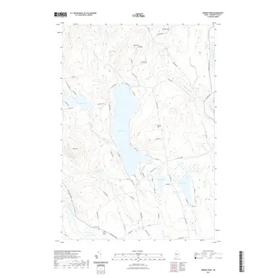 2021 Embden Pond2021 Print · USGSCovers Anson, including Embden, Bingham, and other nearby areas
 - 2024 Map of Madison East, 2024 Print
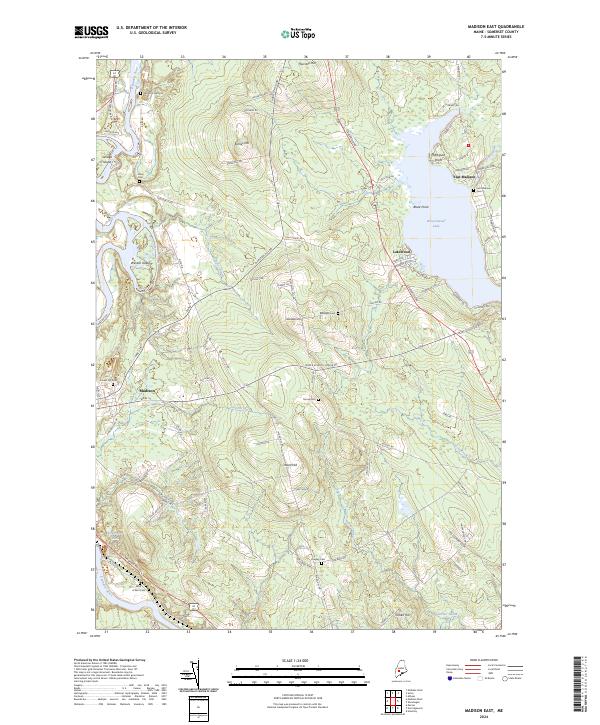 2024 Madison East2024 Print · USGSSomerset County settlement patterns and river geography come into focus in this contemporary survey of the Kennebec valley. Researchers can trace historic burial sites like Forest Hill Cem and Morse Cem while locating landmarks such as the Trolley Line and Wesserunsett Lake.
 - 2024 Map of Solon, 2024 Print
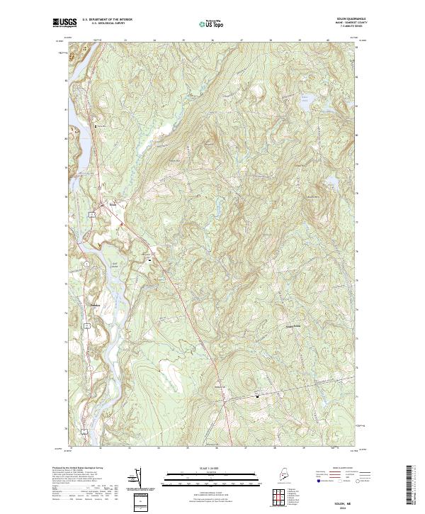 2024 Solon2024 Print · USGSThe Kennebec River valley in central Maine remains a landscape of high ridges and traditional settlement centers in the early twenty-first century. Genealogists and historians can trace the rural layout of Solon, Embden, and South Solon alongside landmarks like Pierce Cem and Jewett Cem.
 - 2024 Map of New Vineyard, 2024 Print
 2024 New Vineyard2024 Print · USGSFranklin County's high country is captured here in the contemporary era, showcasing the small villages and cemeteries of the New Vineyard Mountains. Trace local family roots at the Mantor Cem, explore the peaks of Caswell Mtn, or follow the waters of Lemon Stream.
 - 2024 Map of Madison West, 2024 Print
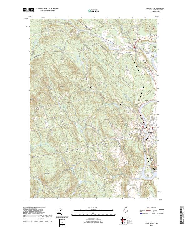 2024 Madison West2024 Print · USGSSomerset County, Maine, is shown here as a landscape of established river towns and rural hillsides. Researchers can trace family history through a wealth of local landmarks including Old Point Cem, Mutton Hill Cem, and the riverfront settlement of North Anson.
 - 2024 Map of Embden Pond, 2024 Print
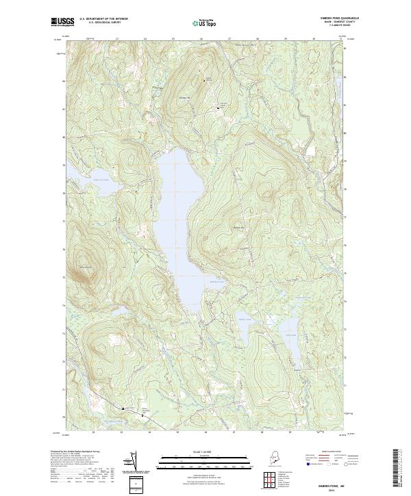 2024 Embden Pond2024 Print · USGSSomerset County’s lake country is captured here during the 2020s, showing the enduring settlement patterns around the central Embden Pond. Family history researchers can locate several key burial grounds including Pierce Purington Cem and Concord Corner Cem.
End of results
Showing maps 1-25 of 25
Top cities near Anson
- Farmington historical maps
- Fairfield historical maps
- Skowhegan historical maps
- Oakland historical maps
- Madison historical maps
- Wilton historical maps
See more
Top neighborhoods of Anson
Frequently asked questions
- What are the different types of historical maps available for Anson?
- What is the oldest map of Anson?
- Where can I purchase historical maps of Anson for my home or office?
- Where can I download high-res historical maps of Anson?
- Are there historical topographic maps available for Anson?
- Is there historical aerial imagery available for Anson?
- Where are historical maps of Anson sourced from?