2020s Maps of Brighton Plantation, Maine
Explore 10 historic maps of Brighton Plantation from the 2020s. These maps offer a rare glimpse into what life looked like during the 2020s — showing old roads, neighborhoods, homes, and landmarks that have changed or disappeared over time.
Whether you're researching your family's past, planning a metal detecting trip, or studying how Brighton Plantation's landscape evolved across the 2020s, these high-resolution maps are a powerful tool for exploring the history of this region.
- Focus on a specific era: All maps on this page are from the 2020s, giving you a focused view of this time period.
- See what’s changed: Compare century-old streets, trails, and buildings to today's modern landscape using overlays and satellite layers.
- Research with precision: Use these maps for genealogy, historical research, land use analysis, or educational projects.
- View, download, or print: Maps are fully viewable online in high resolution, and can be downloaded or printed for your own records.
Start exploring Brighton Plantation's history through authentic maps from the 2020s. This is your window into the past.
Brighton Plantation, ME maps
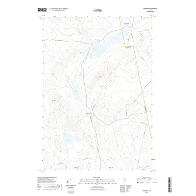
(10)- 2021 Map of Wellington, 2021 Print
 2021 Wellington2021 Print · USGSCovers Brighton Plantation, including Athens, Harmony, and other nearby areas
 - 2021 Map of Kingsbury, 2021 Print
 2021 Kingsbury2021 Print · USGSCovers Brighton Plantation, including Athens, Wellington, and other nearby areas
 - 2021 Map of Mahoney Hill, 2021 Print
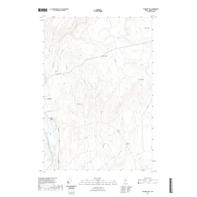 2021 Mahoney Hill2021 Print · USGSCovers Brighton Plantation, including Bingham, Moscow, and other nearby areas
 - 2021 Map of Athens, 2021 Print
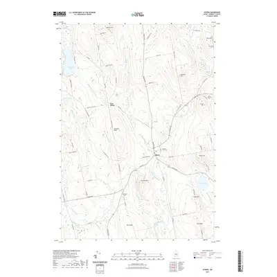 2021 Athens2021 Print · USGSCovers Brighton Plantation, including Madison, Cornville, and other nearby areas
 - 2021 Map of Solon, 2021 Print
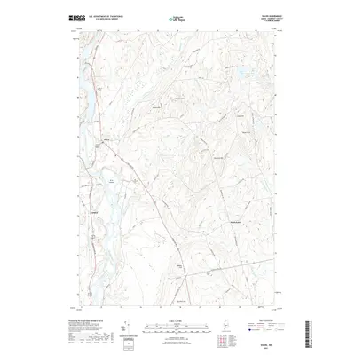 2021 Solon2021 Print · USGSCovers Brighton Plantation, including Madison, Anson, and other nearby areas
 - 2024 Map of Solon, 2024 Print
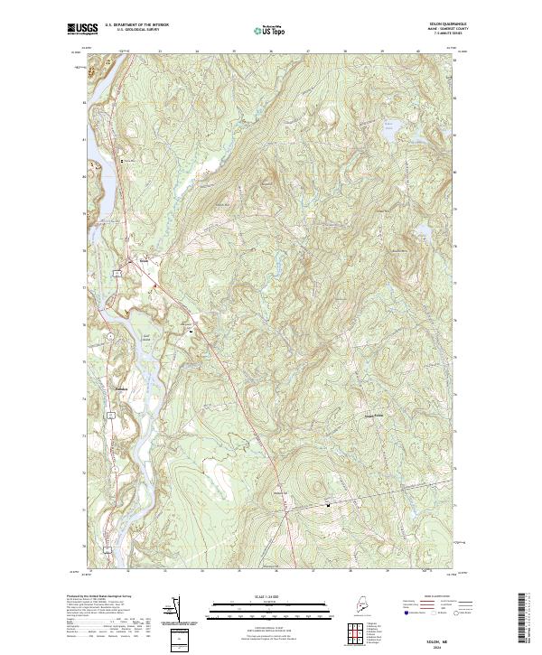 2024 Solon2024 Print · USGSThe Kennebec River valley in central Maine remains a landscape of high ridges and traditional settlement centers in the early twenty-first century. Genealogists and historians can trace the rural layout of Solon, Embden, and South Solon alongside landmarks like Pierce Cem and Jewett Cem.
 - 2024 Map of Athens, 2024 Print
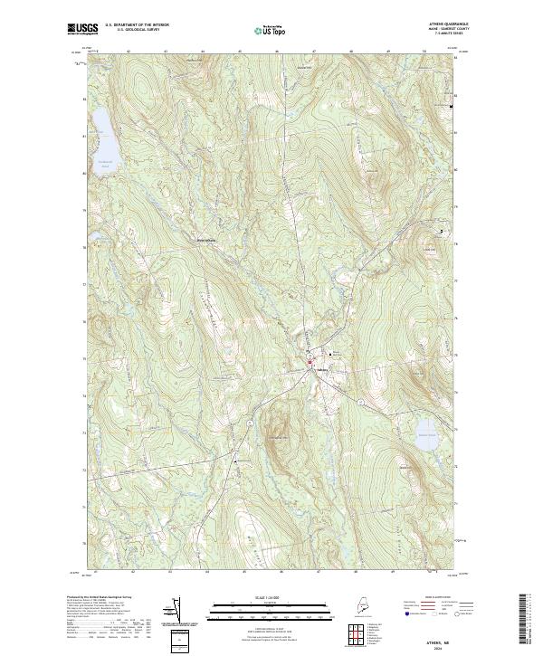 2024 Athens2024 Print · USGSSomerset County's ridge-and-valley landscape comes into focus in this recent survey of the Athens area. Genealogists and local historians can pinpoint several significant burial sites like Mount Rest Cem and Dore Hill Cem or trace the drainage of the Wesserunsett Stream.
 - 2024 Map of Wellington, 2024 Print
 2024 Wellington2024 Print · USGSThe borderlands of Piscataquis and Somerset counties are shown here in modern detail, preserving a network of early family settlements and rural cemeteries. Researchers can trace ancestral locations at Reed Cem, Herriman Cem, and the crossroads at Hutchins Corner.
 - 2024 Map of Mahoney Hill, 2024 Print
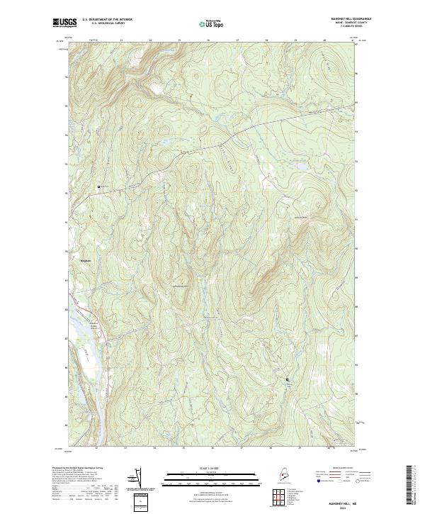 2024 Mahoney Hill2024 Print · USGSThe Kennebec River valley and the town of Bingham are documented in this modern survey of the Maine woods. Genealogists and historians can trace Baker Cem and Fall Brook Cem or locate the unique Gadabout Gaddis Airport along the river.
 - 2024 Map of Kingsbury, 2024 Print
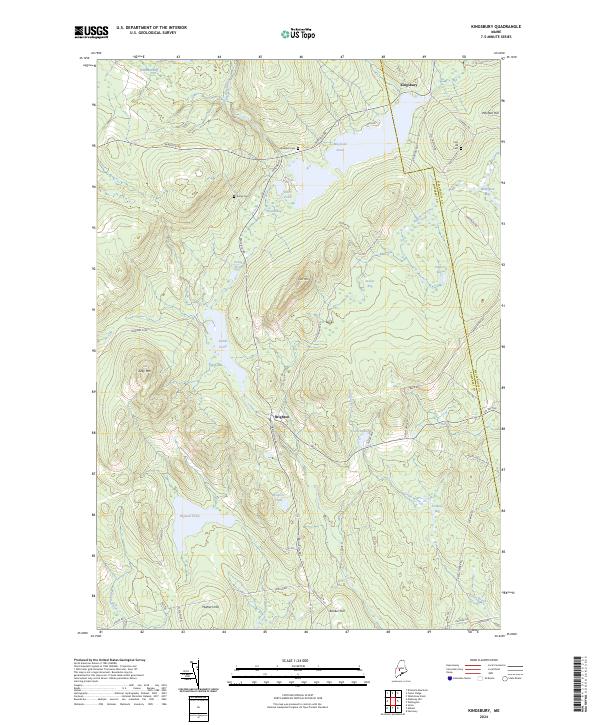 2024 Kingsbury2024 Print · USGSThe townships of Brighton and Kingsbury are mapped here as they appeared in the early 21st century, revealing a landscape of upland forests and highland bogs. Genealogists can locate family burial sites like Flanders Cem and Foss Hill Cem near landmarks like Foss Mtn.
End of results
Showing maps 1-10 of 10
Top cities near Brighton Plantation
- Skowhegan historical maps
- Madison historical maps
- Pittsfield historical maps
- Anson historical maps
- Canaan historical maps
- Saint Albans historical maps
See more
Top neighborhoods of Brighton Plantation
Frequently asked questions
- What are the different types of historical maps available for Brighton Plantation?
- What is the oldest map of Brighton Plantation?
- Where can I purchase historical maps of Brighton Plantation for my home or office?
- Where can I download high-res historical maps of Brighton Plantation?
- Are there historical topographic maps available for Brighton Plantation?
- Is there historical aerial imagery available for Brighton Plantation?
- Where are historical maps of Brighton Plantation sourced from?