2000s (21st Century) Maps of Palermo, Maine
Explore 20 historic maps of Palermo from the 2000s (21st Century). These maps offer a rare glimpse into what life looked like during the 2000s — showing old roads, neighborhoods, homes, and landmarks that have changed or disappeared over time.
Whether you're researching your family's past, planning a metal detecting trip, or studying how Palermo's landscape evolved across the 2000s, these high-resolution maps are a powerful tool for exploring the history of this region.
- Focus on a specific era: All maps on this page are from the 2000s, giving you a focused view of this time period.
- See what’s changed: Compare century-old streets, trails, and buildings to today's modern landscape using overlays and satellite layers.
- Research with precision: Use these maps for genealogy, historical research, land use analysis, or educational projects.
- View, download, or print: Maps are fully viewable online in high resolution, and can be downloaded or printed for your own records.
Start exploring Palermo's history through authentic maps from the 2000s. This is your window into the past.
Palermo, ME maps
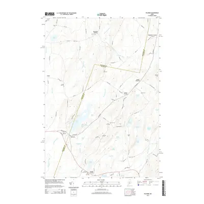
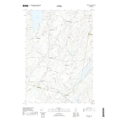
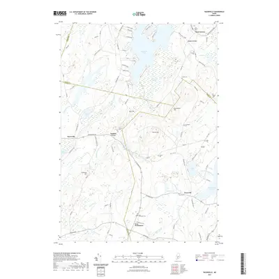
(20)- 2011 Map of Razorville, 2011 Print
 2011 Razorville2011 Print · USGSCovers Palermo, including China, Jefferson, and other nearby areas
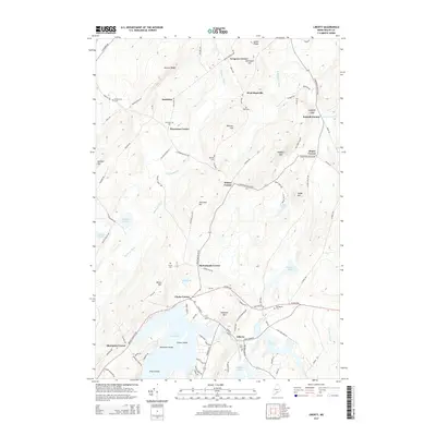
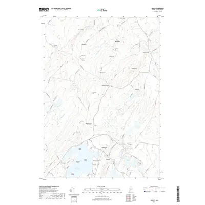
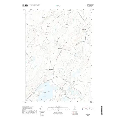
 - 2011 Map of Liberty, 2011 Print
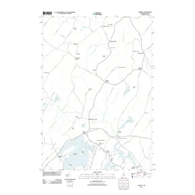 2011 Liberty2011 Print · USGSCovers Palermo, including Searsmont, Montville, and other nearby areas
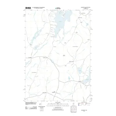
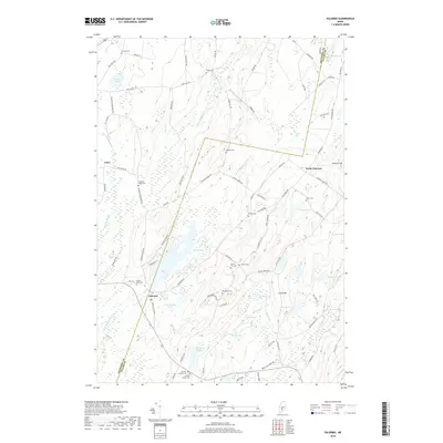
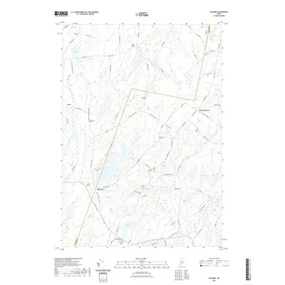
 - 2011 Map of Palermo, 2011 Print
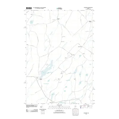 2011 Palermo2011 Print · USGSCovers Palermo, including China, Albion, and other nearby areas
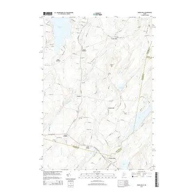
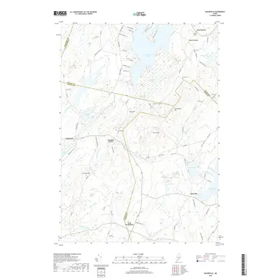
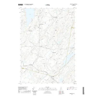
 - 2011 Map of Weeks Mills, 2011 Print
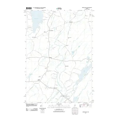 2011 Weeks Mills2011 Print · USGSCovers Palermo, including Vassalboro, China, and other nearby areas
 - 2014 Map of Weeks Mills, 2014 Print
 2014 Weeks Mills2014 Print · USGSCovers Palermo, including Vassalboro, China, and other nearby areas
 - 2014 Map of Liberty, 2014 Print
 2014 Liberty2014 Print · USGSCovers Palermo, including Searsmont, Montville, and other nearby areas
 - 2014 Map of Razorville, 2014 Print
 2014 Razorville2014 Print · USGSCovers Palermo, including China, Jefferson, and other nearby areas
 - 2014 Map of Palermo, 2014 Print
 2014 Palermo2014 Print · USGSCovers Palermo, including China, Albion, and other nearby areas
 - 2018 Map of Palermo, 2018 Print
 2018 Palermo2018 Print · USGSCovers Palermo, including China, Albion, and other nearby areas
 - 2018 Map of Liberty, 2018 Print
 2018 Liberty2018 Print · USGSCovers Palermo, including Searsmont, Montville, and other nearby areas
 - 2018 Map of Razorville, 2018 Print
 2018 Razorville2018 Print · USGSCovers Palermo, including China, Jefferson, and other nearby areas
 - 2018 Map of Weeks Mills, 2018 Print
 2018 Weeks Mills2018 Print · USGSCovers Palermo, including Vassalboro, China, and other nearby areas
 - 2021 Map of Palermo, 2021 Print
 2021 Palermo2021 Print · USGSCovers Palermo, including China, Albion, and other nearby areas
 - 2021 Map of Liberty, 2021 Print
 2021 Liberty2021 Print · USGSCovers Palermo, including Searsmont, Montville, and other nearby areas
 - 2021 Map of Razorville, 2021 Print
 2021 Razorville2021 Print · USGSCovers Palermo, including China, Jefferson, and other nearby areas
 - 2021 Map of Weeks Mills, 2021 Print
 2021 Weeks Mills2021 Print · USGSCovers Palermo, including Vassalboro, China, and other nearby areas
 - 2024 Map of Weeks Mills, 2024 Print
 2024 Weeks Mills2024 Print · USGSMaine's rural Kennebec and Lincoln county lines meet here among river-fed hamlets and historic family burial grounds. Researchers can trace ancestral locations through the numerous cemeteries such as Twenty Rod Cem or explore settlements like Weeks Mills and Coopers Mills along the Sheepscot River.
 - 2024 Map of Palermo, 2024 Print
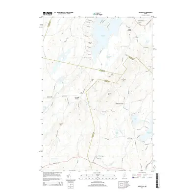
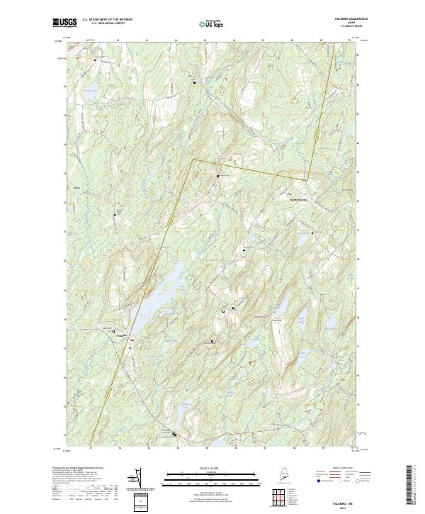 2024 Palermo2024 Print · USGSThe village of Palermo and its surrounding hill country are captured here in a period of modern stability. Genealogists can trace family heritage through numerous burial sites including Old Greeley Corner Cem, Perkins Cem, and Branch Mills Cem.
 - 2024 Map of Liberty, 2024 Print
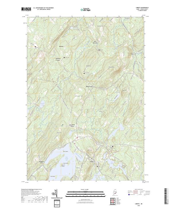 2024 Liberty2024 Print · USGSWaldo County's rural character is on display in this contemporary survey of the hills and lakes around the Saint George River. Local historians can trace family ties at Mount Repose Cem or explore the historic intersections at Thurstons Corner and Whites Corner.
 - 2024 Map of Razorville, 2024 Print
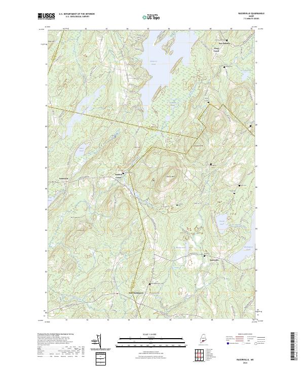 2024 Razorville2024 Print · USGSMaine's interior mid-coast region appears in this contemporary survey of the highlands and pond country. Researchers can trace family history through a dozen rural burying grounds like Leigh Cem, Hannan Cem, and Sand Hill Cem.
End of results
Showing maps 1-20 of 20
Top cities near Palermo
- Augusta historical maps
- Waterville historical maps
- Winslow historical maps
- Fairfield historical maps
- Warren historical maps
- Vassalboro historical maps
See more
Top neighborhoods of Palermo
- East Palermo historical maps
- Jones Corner historical maps
- North Palermo historical maps
- Carrs Corner historical maps
- Greely Corner historical maps
Frequently asked questions
- What are the different types of historical maps available for Palermo?
- What is the oldest map of Palermo?
- Where can I purchase historical maps of Palermo for my home or office?
- Where can I download high-res historical maps of Palermo?
- Are there historical topographic maps available for Palermo?
- Is there historical aerial imagery available for Palermo?
- Where are historical maps of Palermo sourced from?