2000s (21st Century) Maps of Talmadge, Maine
Explore 20 historic maps of Talmadge from the 2000s (21st Century). These maps offer a rare glimpse into what life looked like during the 2000s — showing old roads, neighborhoods, homes, and landmarks that have changed or disappeared over time.
Whether you're researching your family's past, planning a metal detecting trip, or studying how Talmadge's landscape evolved across the 2000s, these high-resolution maps are a powerful tool for exploring the history of this region.
- Focus on a specific era: All maps on this page are from the 2000s, giving you a focused view of this time period.
- See what’s changed: Compare century-old streets, trails, and buildings to today's modern landscape using overlays and satellite layers.
- Research with precision: Use these maps for genealogy, historical research, land use analysis, or educational projects.
- View, download, or print: Maps are fully viewable online in high resolution, and can be downloaded or printed for your own records.
Start exploring Talmadge's history through authentic maps from the 2000s. This is your window into the past.
Talmadge, ME maps
(20)- 2011 Map of Waite, 2011 Print
 2011 Waite2011 Print · USGSCovers Talmadge, including Grand Lake Stream, Waite, and other nearby areas
 - 2011 Map of Oxbrook Lakes, 2011 Print
 2011 Oxbrook Lakes2011 Print · USGSCovers Talmadge, including Topsfield, Grand Lake Stream, and other nearby areas
 - 2011 Map of Farrow Mountain, 2011 Print
 2011 Farrow Mountain2011 Print · USGSCovers Talmadge, including Topsfield, Brookton Township, and other nearby areas
 - 2011 Map of Tomah Mountain, 2011 Print
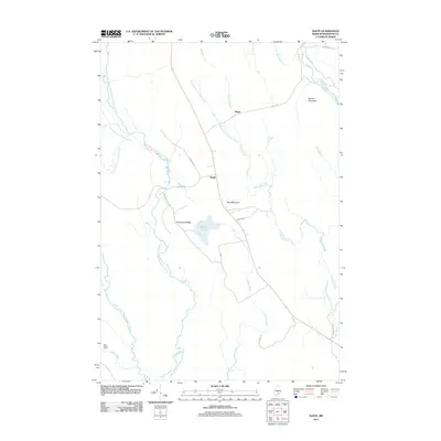
 2011 Tomah Mountain2011 Print · USGSCovers Talmadge, including Topsfield, Waite, and other nearby areas
 - 2014 Map of Farrow Mountain, 2014 Print
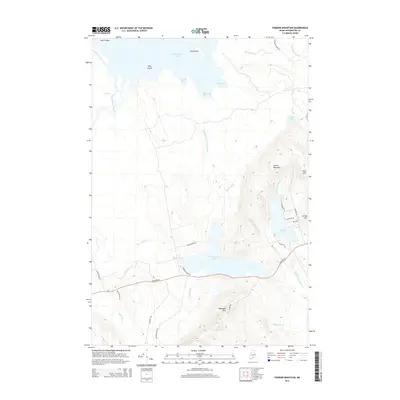 2014 Farrow Mountain2014 Print · USGSCovers Talmadge, including Topsfield, Brookton Township, and other nearby areas
 - 2014 Map of Oxbrook Lakes, 2014 Print
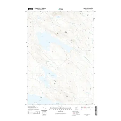 2014 Oxbrook Lakes2014 Print · USGSCovers Talmadge, including Topsfield, Grand Lake Stream, and other nearby areas
 - 2014 Map of Waite, 2014 Print
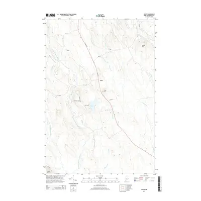 2014 Waite2014 Print · USGSCovers Talmadge, including Grand Lake Stream, Waite, and other nearby areas
 - 2014 Map of Tomah Mountain, 2014 Print
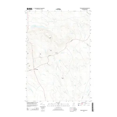 2014 Tomah Mountain2014 Print · USGSCovers Talmadge, including Topsfield, Waite, and other nearby areas
 - 2018 Map of Farrow Mountain, 2018 Print
 2018 Farrow Mountain2018 Print · USGSCovers Talmadge, including Topsfield, Brookton Township, and other nearby areas
 - 2018 Map of Oxbrook Lakes, 2018 Print
 2018 Oxbrook Lakes2018 Print · USGSCovers Talmadge, including Topsfield, Grand Lake Stream, and other nearby areas
 - 2018 Map of Tomah Mountain, 2018 Print
 2018 Tomah Mountain2018 Print · USGSCovers Talmadge, including Topsfield, Waite, and other nearby areas
 - 2018 Map of Waite, 2018 Print
 2018 Waite2018 Print · USGSCovers Talmadge, including Grand Lake Stream, Waite, and other nearby areas
 - 2021 Map of Tomah Mountain, 2021 Print
 2021 Tomah Mountain2021 Print · USGSCovers Talmadge, including Topsfield, Waite, and other nearby areas
 - 2021 Map of Oxbrook Lakes, 2021 Print
 2021 Oxbrook Lakes2021 Print · USGSCovers Talmadge, including Topsfield, Grand Lake Stream, and other nearby areas
 - 2021 Map of Farrow Mountain, 2021 Print
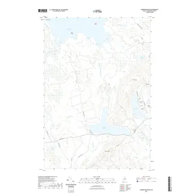 2021 Farrow Mountain2021 Print · USGSCovers Talmadge, including Topsfield, Brookton Township, and other nearby areas
 - 2021 Map of Waite, 2021 Print
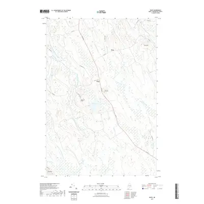 2021 Waite2021 Print · USGSCovers Talmadge, including Grand Lake Stream, Waite, and other nearby areas
 - 2024 Map of Oxbrook Lakes, 2024 Print
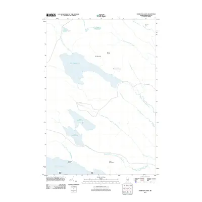
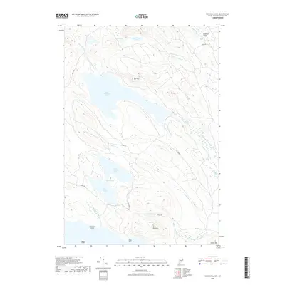
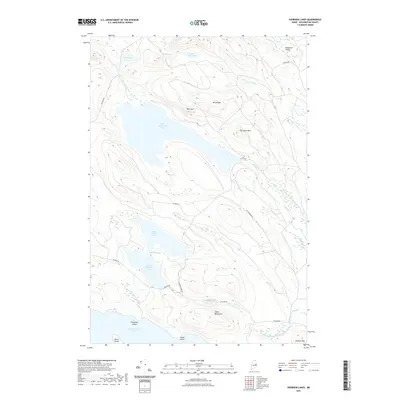
 2024 Oxbrook Lakes2024 Print · USGSWashington County’s lake-country landscape is documented here in the early twenty-first century, showcasing a region defined by its complex waterways and timberlands. Researchers can trace the remote network of Amazon Rd as it passes Amazon Lake or explore the shores of West Musquash Lake and Upper Oxbrook Lake.
 - 2024 Map of Waite, 2024 Print
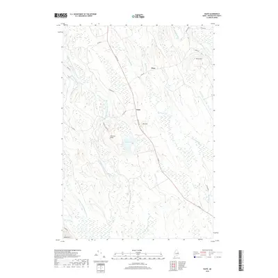
 2024 Waite2024 Print · USGSThis 2024 survey of Waite and Bingo captures the interior timberlands of Washington County in the modern era. Trace the path of Houlton Rd past Neal Mtn, or explore the drainages around Patten Pond and the East Branch Big Musquash Stream.
 - 2024 Map of Farrow Mountain, 2024 Print
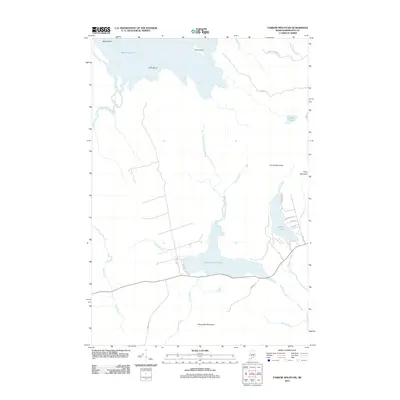
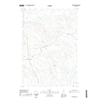
 2024 Farrow Mountain2024 Print · USGSThis part of Washington County is defined by its massive glacial lakes and peaks in the current era. Researchers can trace the rugged topography of Farrow Mtn, the drainage of Baskahegan Stream, and the reach of Farrow Lake.
 - 2024 Map of Tomah Mountain, 2024 Print
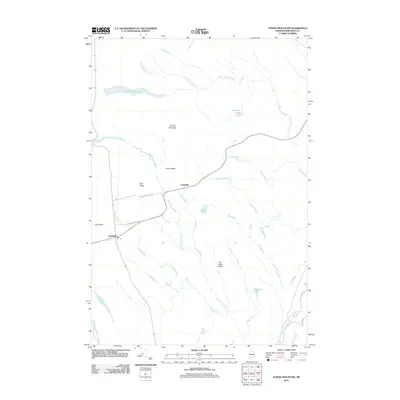
 2024 Tomah Mountain2024 Print · USGSWashington County settlement and wilderness are documented in this modern survey of the Maine woods. Genealogists and local historians can trace family locations near Codyville, Topsfield, and the Hunnewell Acres Cem or explore landmarks like Tomah Mtn.
End of results
Showing maps 1-20 of 20
Top cities near Talmadge
- Princeton historical maps
- Indian Township / Motahkomikuk historical maps
- Alexander historical maps
- Topsfield historical maps
- Carroll Plantation historical maps
- Grand Lake Stream historical maps
See more
Frequently asked questions
- What are the different types of historical maps available for Talmadge?
- What is the oldest map of Talmadge?
- Where can I purchase historical maps of Talmadge for my home or office?
- Where can I download high-res historical maps of Talmadge?
- Are there historical topographic maps available for Talmadge?
- Is there historical aerial imagery available for Talmadge?
- Where are historical maps of Talmadge sourced from?