1950s Maps of Anne Arundel County, Maryland
Explore 24 historic maps of Anne Arundel County from the 1950s. These maps offer a rare glimpse into what life looked like during the 1950s — showing old roads, neighborhoods, homes, and landmarks that have changed or disappeared over time.
Whether you're researching your family's past, planning a metal detecting trip, or studying how Anne Arundel County's landscape evolved across the 1950s, these high-resolution maps are a powerful tool for exploring the history of this region.
- Focus on a specific era: All maps on this page are from the 1950s, giving you a focused view of this time period.
- See what’s changed: Compare century-old streets, trails, and buildings to today's modern landscape using overlays and satellite layers.
- Research with precision: Use these maps for genealogy, historical research, land use analysis, or educational projects.
- View, download, or print: Maps are fully viewable online in high resolution, and can be downloaded or printed for your own records.
Start exploring Anne Arundel County's history through authentic maps from the 1950s. This is your window into the past.
Anne Arundel County, MD maps
(24)- 1950 Map of Relay
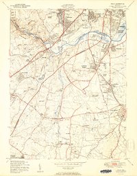 1950 Relay1950 Print · USGSMaryland's corridor between Baltimore and Anne Arundel County is captured here just as the post-war suburban and industrial expansion takes flight. Genealogists and local historians can trace the early layout of Friendship International Airport and find local landmarks like the Thomas Viaduct and All Saints Convent.2 unique versions available
 - 1950 Map of Savage
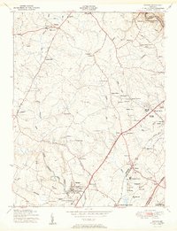 1950 Savage1950 Print · USGSHoward County and parts of Anne Arundel County are shown here at mid-century, just as suburban expansion began to reshape these rural settlements. Genealogists and historians can trace family-named sites and institutions like St Marys College, Westley Grove, and the Maryland House of Correction.2 unique versions available
 - 1951 Map of Laurel
 1951 Laurel1951 Print · USGSThe mid-century Maryland corridor between D.C. and Baltimore shows a region in transition as major parkways and research centers emerge. Researchers can trace the development of Fort Meade or find family history at Perkins Chapel and the Laurel Race Track.
 - 1953 Map of Annapolis
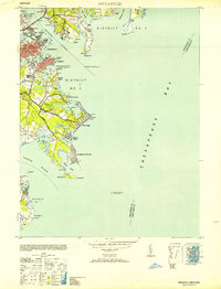 1953 Annapolis1953 Print · USGSThe Annapolis waterfront during the early 1950s shows a dense landscape of naval facilities and coastal settlements. Genealogists and historians can trace the development of Eastport, Arundel on the Bay, and the historic U S Naval Academy.
 - 1953 Map of Swan Point, 1955 Print
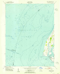 1953 Swan Point1955 Print · USGSThe Kent County shoreline and Chesapeake Bay waters are captured here in the early fifties, documenting the Eastern Shore's maritime character. Trace local history through detailed landings and waterfront settlements like Rock Hall, Gratitude, and Deep Landing.2 unique versions available
 - 1953 Map of Love Point, 1955 Print
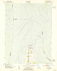 1953 Love Point1955 Print · USGSKent Island in the early fifties serves as a vital rail-to-river terminal at the mouth of the Chester River. Genealogists and maritime historians can trace the Baltimore and Eastern railroad line to the Love Point Lighthouse and the grounds of Camp St Martin.2 unique versions available
 - 1953 Map of Lower Marlboro, 1956 Print
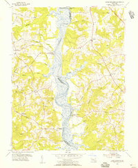 1953 Lower Marlboro1956 Print · USGSThe Patuxent River corridor remains the focus of rural life in the 1950s, bridging the Prince George's and Calvert county lines. You can trace historic waterfront landmarks like Lyons Creek Wharf, Magruder Landing, and old country sites like St Johns Ch.6 unique versions available
 - 1953 Map of North Beach, 1956 Print
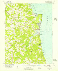 1953 North Beach1956 Print · USGSMaryland's western shore comes alive in the 1950s, showing a transition from rural Calvert County ridges to bustling bayside summer colonies. Genealogists and historians can trace the early footprints of Chesapeake Beach, the military presence at the U S Naval Reservation, and old country landmarks like All Saints Ch.4 unique versions available
 - 1954 Map of Baltimore
 1954 Baltimore1954 Print · USGSThe Mid-Atlantic region in the early fifties shows a landscape of growing suburban centers and heavy rail corridors. Trace mid-century transit networks and military landmarks from the Aberdeen Proving Ground to the Gettysburg National Military Park.
 - 1954 Map of Gibson Island, 1955 Print
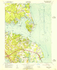 1954 Gibson Island1955 Print · USGSAnne Arundel County's shoreline was a hub of maritime navigation and coastal development in the mid-fifties. Genealogists and historians can trace family locations in St Margarets or Skidmore and locate landmarks like the State Prison Camp and Baltimore Lighthouse.5 unique versions available
 - 1956 Map of Baltimore
 1956 Baltimore1956 Print · USGSMid-century Maryland and Pennsylvania are captured here during a period of massive suburban and military growth across the Chesapeake region. Genealogists and historians can trace the rail corridors of the Baltimore & Ohio RR and locate landmarks like Fort McHenry or the Aberdeen Proving Ground.
 - 1956 Map of Round Bay, 1960 Print
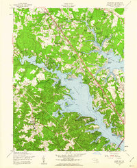 1956 Round Bay1960 Print · USGSAnne Arundel County is captured here in the mid-1950s as its tidal shorelines transitioned into vibrant residential communities. Genealogists and local historians can trace the Baltimore and Annapolis Railroad corridor through Earleigh Heights and locate landmarks like the Crownsville State Hospital.4 unique versions available
 - 1957 Map of Bristol
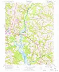 1957 Bristol1957 Print · USGSThe riverfront landings and rail corridors of Prince George's and Anne Arundel counties are well-defined in this mid-century survey. Genealogists and local historians can trace the foundations of Upper Marlboro and identify rural landmarks like Wesley Chapel, Waysons Corner, and the Marlboro Sta depot.5 unique versions available
 - 1957 Map of Davidsonville, 1958 Print
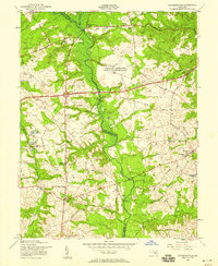 1957 Davidsonville1958 Print · USGSMaryland's interior transition between Anne Arundel and Prince Georges counties is captured here in the late fifties. Genealogists and local historians can trace family-named crossroads like Pigeon House Corner and Staples Corners, alongside rural landmarks like All Hallows Chapel.5 unique versions available
 - 1957 Map of South River, 1958 Print
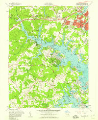 1957 South River1958 Print · USGSThe South River and its labyrinth of tidal coves define this coastal Maryland landscape during the postwar boom. Genealogists and local historians can trace family-named points and early church sites like All Hallows Ch and Hopes Chapel, alongside the growth of Parole and Edgewater.6 unique versions available
 - 1957 Map of Annapolis, 1958 Print
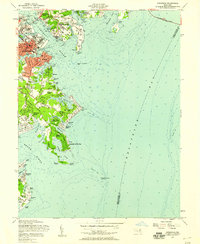 1957 Annapolis1958 Print · USGSMid-century Annapolis and its surrounding peninsula are captured here as suburban growth begins to reach the Chesapeake shoreline. Researchers can trace the layout of the U S Naval Academy, find local landmarks like St Marys Church, or locate vanished leisure spots like Carrs Beach.5 unique versions available
 - 1957 Map of Deale, 1959 Print
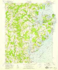 1957 Deale1959 Print · USGSCoastal Maryland at the dawn of the 1960s reveals a blend of historic river landings and new waterfront developments. Genealogists and local historians can locate legacy sites like St James Ch alongside seasonal destinations such as Camp Wabanna and Mimosa Cove.4 unique versions available
 - 1957 Map of Savage, 1960 Print
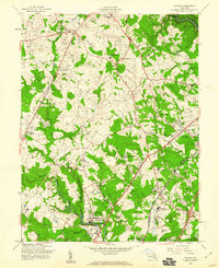 1957 Savage1960 Print · USGSHoward County and Anne Arundel County appear in the late fifties as a landscape of crossroads hamlets and significant institutional sites. Researchers can trace the grounds of the Maryland House of Correction, the Laurel Harness Racing Track, and family landmarks like St Johns Cem.6 unique versions available
 - 1957 Map of Relay, 1960 Print
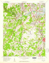 1957 Relay1960 Print · USGSMaryland's corridor between Baltimore and the suburbs was rapidly evolving in the late fifties, shaped by major infrastructure and aviation. Genealogists can trace family roots through United Hebrew Cemetery, Severn Sch, and many small communities like Relay and Harmans.5 unique versions available
 - 1957 Map of Laurel, 1960 Print
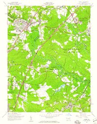 1957 Laurel1960 Print · USGSMaryland's corridor between D.C. and Baltimore shows a mix of institutional growth and rural landscapes in the 1950s. Trace the grounds of the Laurel Race Track, the Fort George G Meade Military Reservation, and historic schools like Phair Sch.2 unique versions available
 - 1957 Map of Odenton, 1960 Print
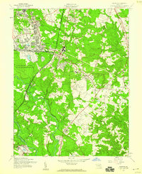 1957 Odenton1960 Print · USGSMaryland's Anne Arundel County is documented here in the mid-fifties, showing the massive footprint of Fort George G Meade alongside traditional crossroads. Genealogists can trace family landmarks like Waugh Cem, the U S Naval Academy Dairy, and the rail junction at Odenton.5 unique versions available
 - 1957 Map of Curtis Bay, 1960 Print
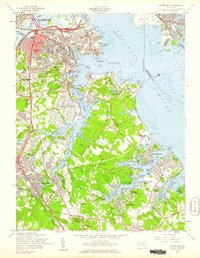 1957 Curtis Bay1960 Print · USGSThe industrial waterfront of South Baltimore and the emerging suburbs of Anne Arundel County are shown here during the late fifties growth spurt. Genealogists and local researchers can trace family roots through sites like Cedar Hill Cem, Harundale, and the Curtis Bay Army Ordnance Depot.2 unique versions available
 - 1957 Map of Baltimore, 1964 Print
 1957 Baltimore1964 Print · USGSMaryland and Southern Pennsylvania are shown during the mid-century expansion of the Baltimore-Washington corridor. Researchers can trace the extensive rail lines of the Baltimore & Ohio RR and locate sites like Fort Detrick and Gettysburg National Military Park.5 unique versions available
 - 1957 Map of Washington, 1966 Print
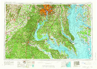 1957 Washington1966 Print · USGSThe mid-Atlantic region during the mid-fifties and early sixties reveals a landscape of growing suburbs and vital military outposts. Researchers can trace historic river towns and shorelines from Alexandria to the Hooper Islands and St Clements Island.5 unique versions available
End of results
Showing maps 1-24 of 24
Top cities of Anne Arundel County
- Glen Burnie historical maps
- Odenton historical maps
- Severna Park historical maps
- Annapolis historical maps
- Crofton historical maps
- Pasadena historical maps
See more
Frequently asked questions
- What are the different types of historical maps available for Anne Arundel County?
- What is the oldest map of Anne Arundel County?
- Where can I purchase historical maps of Anne Arundel County for my home or office?
- Where can I download high-res historical maps of Anne Arundel County?
- Are there historical topographic maps available for Anne Arundel County?
- Is there historical aerial imagery available for Anne Arundel County?
- Where are historical maps of Anne Arundel County sourced from?