1940s Maps of Anne Arundel County, Maryland
Explore 28 historic maps of Anne Arundel County from the 1940s. These maps offer a rare glimpse into what life looked like during the 1940s — showing old roads, neighborhoods, homes, and landmarks that have changed or disappeared over time.
Whether you're researching your family's past, planning a metal detecting trip, or studying how Anne Arundel County's landscape evolved across the 1940s, these high-resolution maps are a powerful tool for exploring the history of this region.
- Focus on a specific era: All maps on this page are from the 1940s, giving you a focused view of this time period.
- See what’s changed: Compare century-old streets, trails, and buildings to today's modern landscape using overlays and satellite layers.
- Research with precision: Use these maps for genealogy, historical research, land use analysis, or educational projects.
- View, download, or print: Maps are fully viewable online in high resolution, and can be downloaded or printed for your own records.
Start exploring Anne Arundel County's history through authentic maps from the 1940s. This is your window into the past.
Anne Arundel County, MD maps
(28)- 1942 Map of Laurel
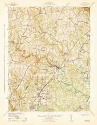 1942 Laurel1942 Print · USGSMaryland's corridor between Baltimore and Washington is seen here in the early 1940s as a land of rural schoolhouses and riverside mills. Researchers can trace family sites near Muirkirk, find the original Christian Brothers College, or locate historic river crossings like Brock Bridge and Duvall Bridge.
 - 1942 Map of Love Point
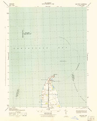 1942 Love Point1942 Print · USGSNorthern Kent Island served as a vital Chesapeake transit hub during the early forties. Trace the rail-to-ferry connection at Love Point Landing and locate landmarks like the Love Point Lighthouse and Cupola Barn.
 - 1942 Map of Swan Point
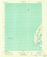 1942 Swan Point1942 Print · USGSKent County's shoreline and the waters of the Chesapeake are captured here in the early 1940s. Genealogists and maritime historians can trace the settlements of Gratitude and Edesville No 5 alongside landmarks like Swan Point and The Haven.
 - 1942 Map of Kent Island, 1961 Print
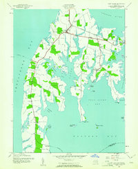 1942 Kent Island1961 Print · USGSKent Island at the onset of the 1940s remained a landscape of ferry landings and rail terminals along the Chesapeake. Genealogists and local historians can trace family locations near Batts Neck Sch, Stevensville, and the Baltimore and Eastern RR line.3 unique versions available
 - 1943 Map of North Point
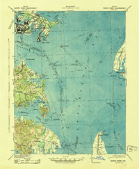 1943 North Point1943 Print · USGSThe Chesapeake Bay's maritime approaches are captured here during the 1940s, highlighting the industrial strength of Sparrows Point and the coastal defenses at Fort Howard. Researchers can trace the rail connections at Love Point Landing or explore the mid-century waterfronts of Gibson Island and Bay Shore.
 - 1943 Map of Kent Island
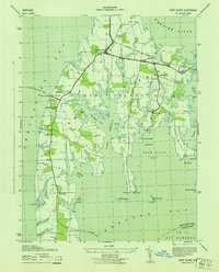 1943 Kent Island1943 Print · USGSKent Island was a vital Chesapeake transit hub during the 1940s, serving as the eastern terminus for the Annapolis-Matapeake Ferry. Trace old rail lines like the Baltimore and Eastern and find community landmarks like Wesley Church and Batts Neck School.
 - 1944 Map of Laurel
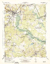 1944 Laurel1944 Print · USGSMaryland's interior between Baltimore and Washington shows a landscape of federal research and military activity during the war years. Genealogists and historians can trace the foundations of Greenbelt, the historic Laurel Race Track, and the specialized facilities of the Beltsville Research Center.
 - 1944 Map of West River
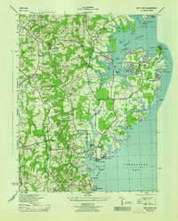 1944 West River1944 Print · USGSCoastal Anne Arundel County comes alive during the war years, showing a landscape of maritime industry and rural crossroads. Genealogists can trace family roots through Tracys Landing, the Franklin Ch and Cem, and schools like Nutwell Sch.
 - 1944 Map of Annapolis
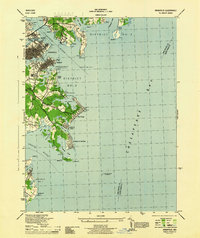 1944 Annapolis1944 Print · USGSCoastal Maryland at the height of the war years reveals a landscape defined by naval expansion and developing bayside communities. Researchers can trace the mid-century footprints of Highland Beach, the U S Naval Academy, and the historic Thomas Point Shoal Lighthouse.
 - 1944 Map of Curtis Bay
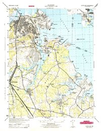 1944 Curtis Bay1944 Print · USGSCoastal Maryland during the war years reveals a landscape of massive military depots and burgeoning shorefront communities. Genealogists and historians can trace rail lines like the Baltimore and Annapolis and locate landmarks from Fort Armistead Park to Marley Station.
 - 1944 Map of Gibson Island
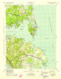 1944 Gibson Island1944 Print · USGSThe Anne Arundel County coastline during the 1940s reveals a maritime landscape shaped by ferry travel and bay-side settlements. Genealogists and local historians can trace family locations near St Margarets, explore the grounds of Manresa, or locate the Sandy Point Ferry Terminal.
 - 1944 Map of Odenton
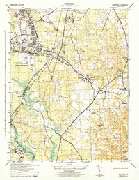 1944 Odenton1944 Print · USGSMid-century Anne Arundel County shows a blend of military activity and rural Maryland life during the war years. Genealogists and researchers can trace old crossroads and community landmarks like Waugh Chapel, the Bowie Race Track, and the US Naval Academy Dairy.2 unique versions available
 - 1944 Map of Davidsonville
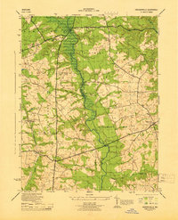 1944 Davidsonville1944 Print · USGSAnne Arundel and Prince George’s counties are captured during the mid-forties, showing the rural landscape before post-war suburbanization. Researchers can trace historic family connections through landmarks like White Marsh Church, Hardesty, and Mullikin.
 - 1944 Map of Sparrows Point
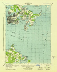 1944 Sparrows Point1944 Print · USGSThe industrial and maritime heart of the Chesapeake coast is captured here during the wartime height of the 1940s. Genealogists and historians can trace the development of Sparrows Point steel works and find local landmarks like the Edgemere Community Chapel and Bay Shore Park.3 unique versions available
 - 1944 Map of Relay
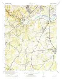 1944 Relay1944 Print · USGSMaryland's Patapsco River valley and the rail hubs south of Baltimore are captured here during the mid-forties. Researchers can trace historic church sites like Gaines Church, early industrial markers including the Distilleries near Relay, and named neighborhoods like English Consul.2 unique versions available
 - 1944 Map of South River
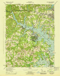 1944 South River1944 Print · USGSAnne Arundel County waterfront communities were rapidly developing during the war years as suburban growth met the Chesapeake shoreline. Researchers can trace historic local sites like All Hallows Church, the Annapolis Waterworks, and the grounds of the old Almshouse.
 - 1944 Map of Bristol
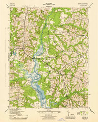 1944 Bristol1944 Print · USGSMid-century Anne Arundel and Prince George's counties are captured here along the banks of the Patuxent River during the Second World War. Researchers can trace rural lineages through numerous community sites like Sollers Chapel, Bristol Sch, and the old Chesapeake Beach RR line.
 - 1944 Map of Round Bay
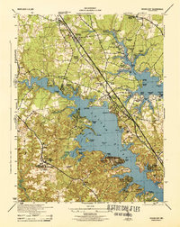 1944 Round Bay1944 Print · USGSMid-century Anne Arundel County shows a landscape of burgeoning waterfront communities and historic estates along the Severn and Magothy Rivers. Genealogists and researchers can trace local family landmarks and institutional sites like Crownsville State Hospital, Belvoir Manor, and the Baltimore and Annapolis RR.
 - 1946 Map of Odenton
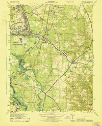 1946 Odenton1946 Print · USGSOdenton and the surrounding Anne Arundel countryside are captured here just after the war, when military expansion and rural crossroads met. Researchers can trace the sprawling Fort George G Meade and locate family landmarks like Waugh Chapel, Severn Crossroads, and the Bowie Race Track.
 - 1946 Map of Curtis Bay
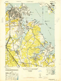 1946 Curtis Bay1946 Print · USGSThe Anne Arundel shoreline was a hub of military defense and industrial growth during the mid-forties. Genealogists and local historians can trace the development of beach communities like Lombardee Beach or locate ancestors in Mt Calvary Cemetery and Marley Neck Church.2 unique versions available
 - 1947 Map of Relay, 1954 Print
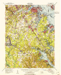 1947 Relay1954 Print · USGSMid-century Anne Arundel County is caught between its rail-and-river heritage and the rise of the jet age. Genealogists and local historians can trace the footprint of the Baltimore Friendship International Airport or locate family plots in Cedar Hill Cem and Arundel Cem.2 unique versions available
 - 1947 Map of North Point, 1955 Print
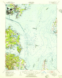 1947 North Point1955 Print · USGSCoastal Maryland at the close of the 1940s reveals a sharp contrast between the industrial might of Sparrows Point and the quiet summer communities of the western shore. Trace maritime history through dredging records and landmarks like Fort Howard, Gibson Island, and Sevenfoot Knoll Light.
 - 1948 Map of Baltimore
 1948 Baltimore1948 Print · USGSMaryland and Pennsylvania crossroads are captured in the late 1940s, showing a landscape defined by historic rail lines and major military installations. Genealogists can trace family connections in Gettysburg, Westminster, and near the U.S. Naval Academy in Annapolis.2 unique versions available
 - 1948 Map of Washington
 1948 Washington1948 Print · USGSThe Potomac and Chesapeake regions in the late 1940s reveal a landscape of expanding military reach and deep-rooted Tidewater settlements. Trace old rail corridors like the Richmond Fredericksburg & Potomac RR or locate landmarks like the Wakefield Washington Monument and St. Marys College.2 unique versions available
 - 1949 Map of Round Bay, 1953 Print
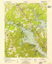 1949 Round Bay1953 Print · USGSMid-century Anne Arundel County is captured here as suburban growth follows the Baltimore and Annapolis RR. Genealogists can trace local roots at St Marys-on-the-Severn Ch, Magothy Sch, and the estates of Sherwood Forest.2 unique versions available
Showing maps 1-25 of 28
Top cities of Anne Arundel County
- Glen Burnie historical maps
- Odenton historical maps
- Severna Park historical maps
- Annapolis historical maps
- Crofton historical maps
- Pasadena historical maps
See more
Frequently asked questions
- What are the different types of historical maps available for Anne Arundel County?
- What is the oldest map of Anne Arundel County?
- Where can I purchase historical maps of Anne Arundel County for my home or office?
- Where can I download high-res historical maps of Anne Arundel County?
- Are there historical topographic maps available for Anne Arundel County?
- Is there historical aerial imagery available for Anne Arundel County?
- Where are historical maps of Anne Arundel County sourced from?