2000s (21st Century) Maps of Anne Arundel County, Maryland
Explore 99 historic maps of Anne Arundel County from the 2000s (21st Century). These maps offer a rare glimpse into what life looked like during the 2000s — showing old roads, neighborhoods, homes, and landmarks that have changed or disappeared over time.
Whether you're researching your family's past, planning a metal detecting trip, or studying how Anne Arundel County's landscape evolved across the 2000s, these high-resolution maps are a powerful tool for exploring the history of this region.
- Focus on a specific era: All maps on this page are from the 2000s, giving you a focused view of this time period.
- See what’s changed: Compare century-old streets, trails, and buildings to today's modern landscape using overlays and satellite layers.
- Research with precision: Use these maps for genealogy, historical research, land use analysis, or educational projects.
- View, download, or print: Maps are fully viewable online in high resolution, and can be downloaded or printed for your own records.
Start exploring Anne Arundel County's history through authentic maps from the 2000s. This is your window into the past.
Anne Arundel County, MD maps
(99)- 2011 Map of Lower Marlboro, 2011 Print
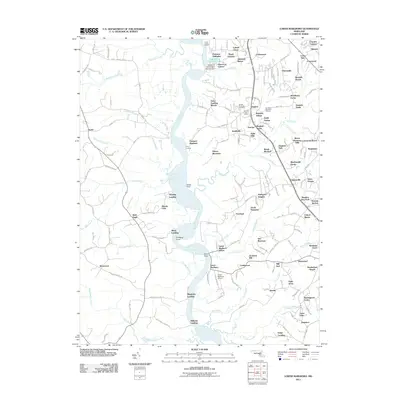 2011 Lower Marlboro2011 Print · USGSThe Patuxent River valley in the early twenty-first century reveals a blend of historic river landings and expanding suburban communities. Genealogists and local historians can trace family sites at Smiths Purchase Cemetery or explore the transit history of Bowling Landing and the Lower Marlboro Airport.
 - 2011 Map of Bowie, 2011 Print
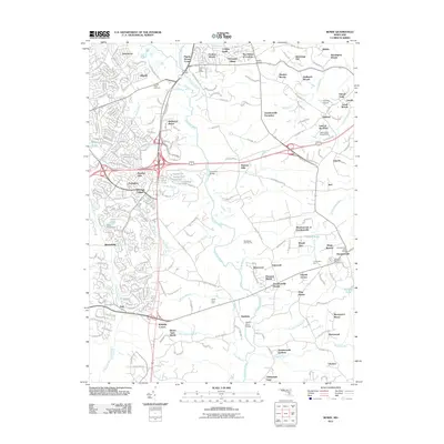 2011 Bowie2011 Print · USGSThe Maryland corridor near the capital is seen here in a period of significant suburban expansion and residential development. Local researchers can trace old family farmsteads and historic river crossings like Priest Bridge, Governor Bridge, and Sacred Heart Cemetery.
 - 2011 Map of North Beach, 2011 Print
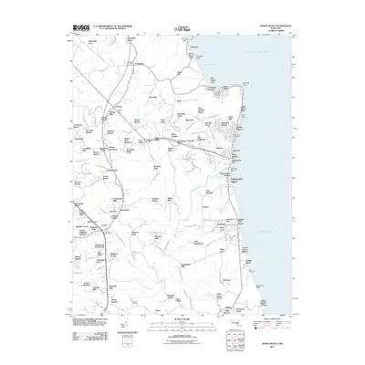 2011 North Beach2011 Print · USGSChesapeake Bay waterfront communities and the rural interior of Calvert County are captured here in the early twenty-first century. Genealogists and local historians can locate All Saints Cemetery and trace the footprints of Friendship and Owings.
 - 2011 Map of Deale, 2011 Print
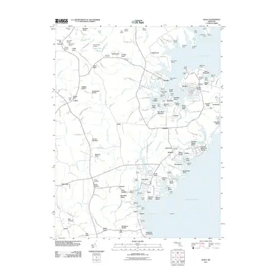 2011 Deale2011 Print · USGSCoastal Maryland at the start of the 2010s shows a refined network of waterfront communities and historic inland tracts. Genealogists and historians can trace local roots through Saint Marks Cemetery or explore established landmarks like West River Plantation and Mount Zion.
 - 2011 Map of South River, 2011 Print
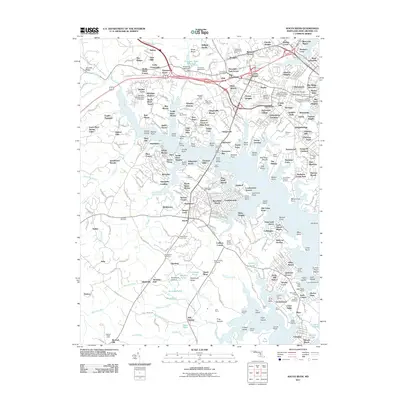 2011 South River2011 Print · USGSThe South River basin in Anne Arundel County shows a blend of suburban growth and maritime tradition in the early twenty-first century. Researchers can trace family sites and local history through numerous landmarks like Lee Airport, Masque Farm, and the National Cemetery.
 - 2011 Map of Bristol, 2011 Print
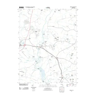 2011 Bristol2011 Print · USGSMaryland's riverine corridor comes to life in this early 21st-century record of the Patuxent valley and its historic landings. Researchers can trace the legacy of family estates and regional recreation at Portland Manor, Marlboro Speedway, and the Vale of Pleasure Horse Farm.
 - 2011 Map of Sparrows Point, 2011 Print
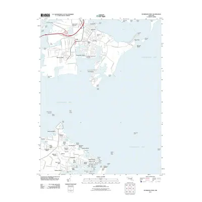 2011 Sparrows Point2011 Print · USGSChesapeake Bay coastal life and industrial history meet at the mouth of the Patapsco River during the early twenty-first century. Researchers can trace the layout of the massive Sparrows Point steel complex or locate family sites near Bodkin Manor and the Hancock Cemetery.
 - 2011 Map of Odenton, 2011 Print
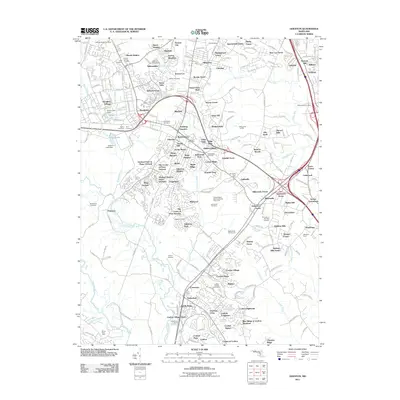 2011 Odenton2011 Print · USGSOdenton and Gambrills appear in detail during a period of suburban expansion and institutional permanence. Researchers can trace family sites at Old Bethel Cemetery or locate landmarks like the United States Naval Academy Dairy Farm and Capitol Raceway.
 - 2011 Map of Laurel, 2011 Print
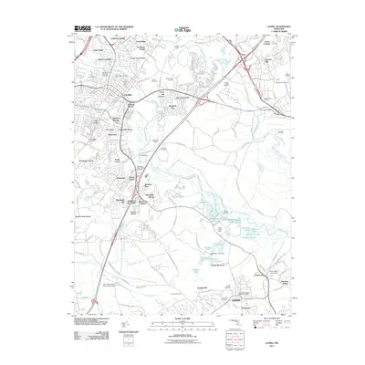 2011 Laurel2011 Print · USGSMaryland's corridor between Washington and Baltimore comes into focus here in the early 21st century, showing a mix of established academic centers and residential growth. Researchers can trace local heritage through Bowie State University, Laurel Racetrack, and several family burial sites like Perkins Cemetery.
 - 2011 Map of Gibson Island, 2011 Print
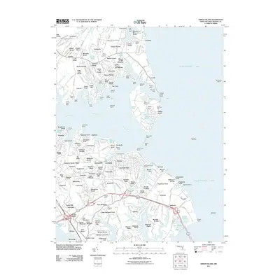 2011 Gibson Island2011 Print · USGSMaryland's western shore comes into focus in the early twenty-first century as suburban communities and maritime landmarks line the Magothy River. Trace family history at Saint Margarets Cemetery or locate navigational icons like the Baltimore Lighthouse and Sandy Point Lighthouse.
 - 2011 Map of Round Bay, 2011 Print
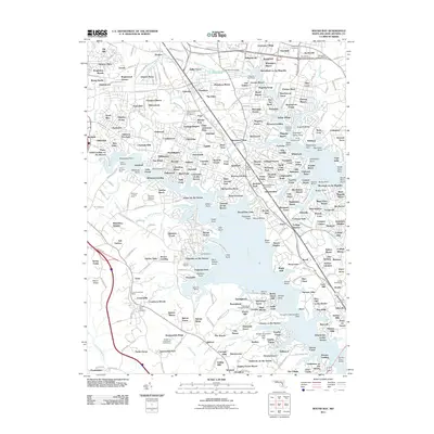 2011 Round Bay2011 Print · USGSAnne Arundel County’s shoreline shows a dense network of suburban peninsulas and Chesapeake tributaries in the early twenty-first century. Genealogists and local historians can trace modern landmarks and historic sites from Maryland Veterans Cemetery to the Baltimore and Annapolis Trl.
 - 2011 Map of Savage, 2011 Print
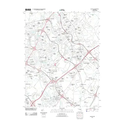 2011 Savage2011 Print · USGSMaryland's Howard County corridor is shown in detail during its late-twentieth-century transition from rural land to planned suburban centers. Researchers can trace historic industrial sites like Savage Mill or locate family plots at Cavey Cemetery and Grace Hills Cemetery.
 - 2011 Map of Relay, 2011 Print
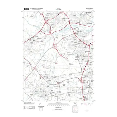 2011 Relay2011 Print · USGSMaryland's corridor between Baltimore and the capital is shown here in the early 2000s as a complex network of historic river towns and modern transit hubs. Genealogists can trace family locations near the Boyer Burial Ground, Harman Cemetery, or the historic Thomas Viaduct at Relay.
 - 2011 Map of Curtis Bay, 2011 Print
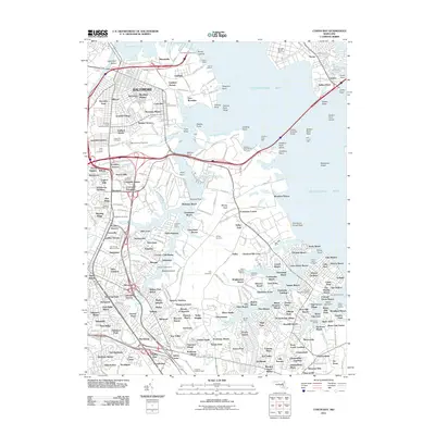 2011 Curtis Bay2011 Print · USGSThe industrial waterfront of southern Baltimore and the growing suburbs of Anne Arundel County meet in the early twenty-first century. Researchers can trace neighborhood development and maritime infrastructure through landmarks like Cromwell Station, Fort Carroll Light, and Masonville.
 - 2011 Map of Annapolis, 2011 Print
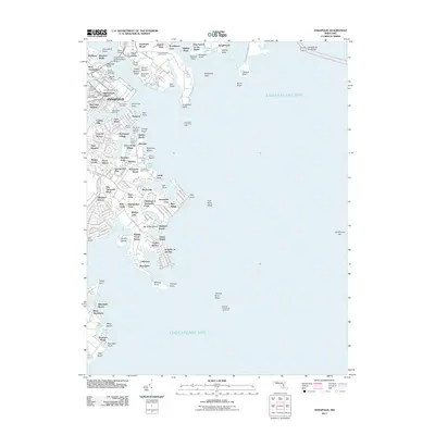 2011 Annapolis2011 Print · USGSThe Maryland capital and its storied naval traditions are on full display in the early twenty-first century. Researchers can trace the grounds of the United States Naval Academy and locate historic waterfront sites like Annapolis City Dock or the community of Elktonia.
 - 2011 Map of Kent Island, 2011 Print
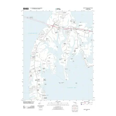 2011 Kent Island2011 Print · USGSKent Island is captured at a moment of significant coastal development and preserved maritime history. Genealogists and local historians can trace family ties at Wesley Cemetery or Stevensville Cemetery, and explore established communities from Dominion to Matapeake.
 - 2011 Map of Deale OE E, 2011 Print
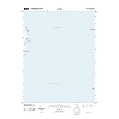 2011 Deale OE E2011 Print · USGSCoastal Anne Arundel County comes into focus in the early 2000s, showing the residential waterfront and open bay. Trace the development of shore communities like Idlewilde, Snug Harbor, and Columbia Beach or locate family property near Kent Point Manor.
 - 2011 Map of Love Point, 2011 Print
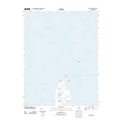 2011 Love Point2011 Print · USGSThe northern tip of Kent Island comes into focus during the early twenty-first century as it sits at the confluence of the bay and river. Researchers can trace local landmarks like the Love Point Lighthouse, Mylanders Airstrip, and Bridge View.
 - 2011 Map of Swan Point, 2011 Print
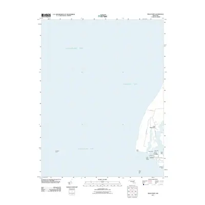 2011 Swan Point2011 Print · USGSThe Eastern Shore's maritime character is on full display here in the early twenty-first century. Genealogists and researchers can trace the waterfront settlements of Gratitude and Deep Landing or locate family lands near Little Neck Farms and Swan Point.
 - 2014 Map of Sparrows Point, 2014 Print
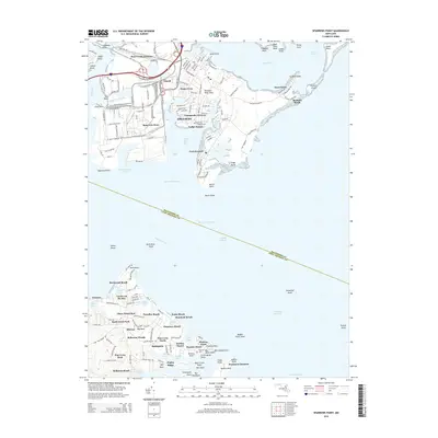 2014 Sparrows Point2014 Print · USGSCoastal Maryland near the mouth of the Patapsco River shows a landscape of heavy industry and shoreline retreats. Trace the industrial footprint of Sparrows Point or locate family roots in waterfront communities like Bodkin Manor and Pasadena Beach.
 - 2014 Map of Gibson Island, 2014 Print
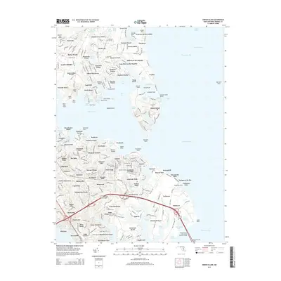 2014 Gibson Island2014 Print · USGSThe Anne Arundel County coast is captured in high detail during the early 2010s, showing the dense waterfront settlements of the Magothy River. Genealogists and local historians can trace family sites at Stinchcomb Tidings Cem and landmarks like Gibson Island and Broad Neck.
 - 2014 Map of Love Point, 2014 Print
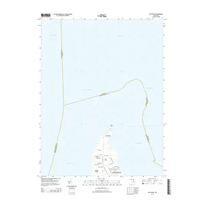 2014 Love Point2014 Print · USGSKent Island at the northern end of the Chesapeake Bay shows its modern residential and maritime layout in the twenty-first century. Researchers can trace local development in Stevensville and along Old Love Point Rd or explore the coast near Love Point.
 - 2014 Map of Bristol, 2014 Print
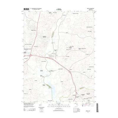 2014 Bristol2014 Print · USGSThe Patuxent River valley at the Prince George's and Anne Arundel county line comes into focus in the early 2010s. Researchers can trace riverfront history at Iron Pot Landing or explore established neighborhoods like Marlboro Meadows and Portland Manor.
 - 2014 Map of Savage, 2014 Print
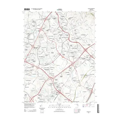 2014 Savage2014 Print · USGSHoward County's transition from historic settlements to modern planned communities is captured here in the early twenty-first century. Researchers can locate numerous burial grounds and landmarks like Saint Johns Cem and the Bollman Suspension Trussed Bridge.
 - 2014 Map of Bowie, 2014 Print
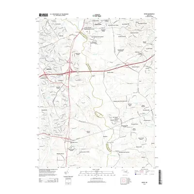 2014 Bowie2014 Print · USGSMaryland's suburban corridor along the Patuxent River reached a peak of development in the early 2010s. Researchers can trace the boundaries of sprawling residential estates and find specific landmarks like Sacred Heart Cem, Governor Bridge, and Pigeon House Corner.
Showing maps 1-25 of 99
Top cities of Anne Arundel County
- Glen Burnie historical maps
- Odenton historical maps
- Severna Park historical maps
- Annapolis historical maps
- Crofton historical maps
- Pasadena historical maps
See more
Frequently asked questions
- What are the different types of historical maps available for Anne Arundel County?
- What is the oldest map of Anne Arundel County?
- Where can I purchase historical maps of Anne Arundel County for my home or office?
- Where can I download high-res historical maps of Anne Arundel County?
- Are there historical topographic maps available for Anne Arundel County?
- Is there historical aerial imagery available for Anne Arundel County?
- Where are historical maps of Anne Arundel County sourced from?