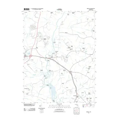
2011 Map of Bristol
USGS Topo · Published 2011About this map
The Patuxent River bisects this landscape, serving as a historic divider between Prince George's and Anne Arundel counties. Along its banks, traditional landings like Iron Pot Landing, Bristol Landing, and Green Landing reflect a long history of riverine transport and commerce. The western edge is defined by the proximity to Upper Marlboro, while the interior transitions into a mosaic of residential developments such as Marlboro Meadows and agricultural estates including Portland Manor and Conte Manor.
Find a feature on this map
113 named features on this map. Tap any name to fly to it.
Don’t see what you’re looking for? This feature index may not catch every label — zoom into the map to look around manually.
Map Details
Editions of this 2011 Bristol Map
This is the sole edition of this map. No revisions or reprints were ever made.
Other maps of this area

1892 · Prince Frederick
USGS Topo · 1:62,500

1892 · Brandywine
USGS Topo · 1:62,500

1892 · Owensville
USGS Topo · 1:62,500

1895 · Prince Frederick
USGS Topo · 1:62,500

1895 · Brandywine
USGS Topo · 1:62,500

1895 · Owensville
USGS Topo · 1:62,500

1899 · Patuxent
USGS Topo · 1:125,000

1900 · Washington
USGS Topo · 1:62,500

1901 · Prince Frederick
USGS Topo · 1:62,500

1905 · Owensville
USGS Topo · 1:62,500