2000s (21st Century) Maps of Baltimore County, Maryland
Explore 24 historic maps of Baltimore County from the 2000s (21st Century). These maps offer a rare glimpse into what life looked like during the 2000s — showing old roads, neighborhoods, homes, and landmarks that have changed or disappeared over time.
Whether you're researching your family's past, planning a metal detecting trip, or studying how Baltimore County's landscape evolved across the 2000s, these high-resolution maps are a powerful tool for exploring the history of this region.
- Focus on a specific era: All maps on this page are from the 2000s, giving you a focused view of this time period.
- See what’s changed: Compare century-old streets, trails, and buildings to today's modern landscape using overlays and satellite layers.
- Research with precision: Use these maps for genealogy, historical research, land use analysis, or educational projects.
- View, download, or print: Maps are fully viewable online in high resolution, and can be downloaded or printed for your own records.
Start exploring Baltimore County's history through authentic maps from the 2000s. This is your window into the past.
Baltimore County, MD maps
(24)- 2023 Map of New Freedom, 2023 Print
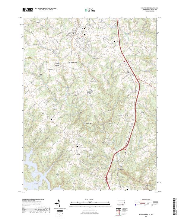 2023 New Freedom2023 Print · USGSCovers Baltimore County, including Shrewsbury, New Freedom, and other nearby areas
 - 2023 Map of Norrisville, 2023 Print
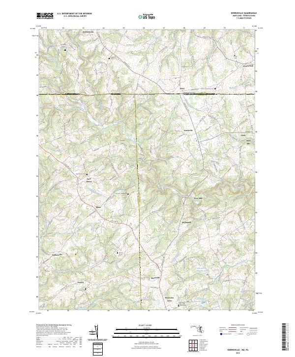 2023 Norrisville2023 Print · USGSCovers Baltimore County, including Stewartstown, Carea, and other nearby areas
 - 2023 Map of Sykesville, 2023 Print
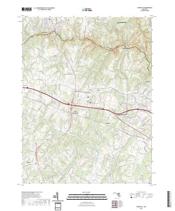 2023 Sykesville2023 Print · USGSCovers Baltimore County, including Sykesville, Salopha, and other nearby areas
 - 2023 Map of Phoenix, 2023 Print
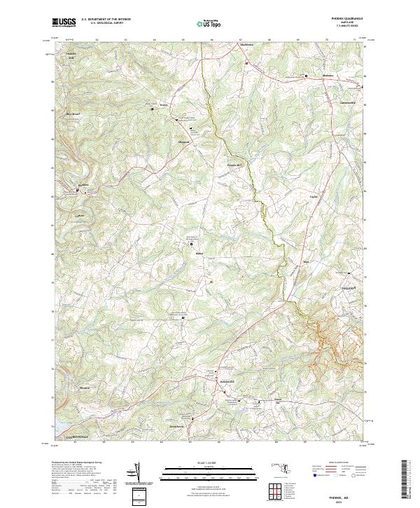 2023 Phoenix2023 Print · USGSCovers Baltimore County, including Foxwood, Pleasant Prospect at Glen Elyn, and other nearby areas
 - 2023 Map of Hampstead, 2023 Print
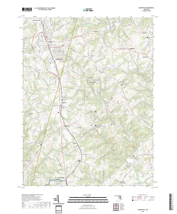 2023 Hampstead2023 Print · USGSCovers Baltimore County, including Hampstead, Fowblesburg, and other nearby areas
 - 2023 Map of Curtis Bay, 2023 Print
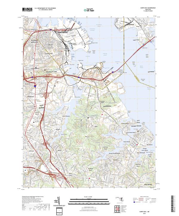 2023 Curtis Bay2023 Print · USGSCovers Baltimore County, including Glen Burnie, Pasadena, and other nearby areas
 - 2023 Map of Relay, 2023 Print
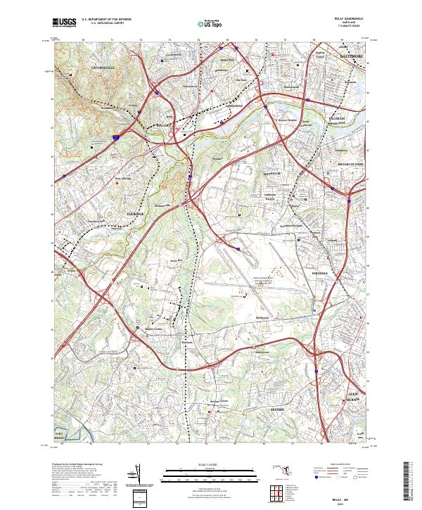 2023 Relay2023 Print · USGSCovers Baltimore County, including Arbutus, Ferndale, and other nearby areas
 - 2023 Map of Jarrettsville, 2023 Print
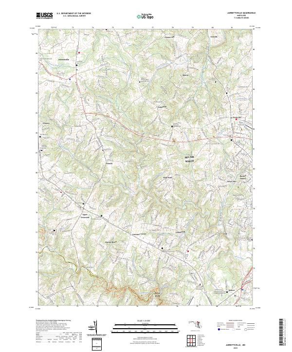 2023 Jarrettsville2023 Print · USGSCovers Baltimore County, including Forest Hill, Fallston, and other nearby areas
 - 2023 Map of Middle River, 2023 Print
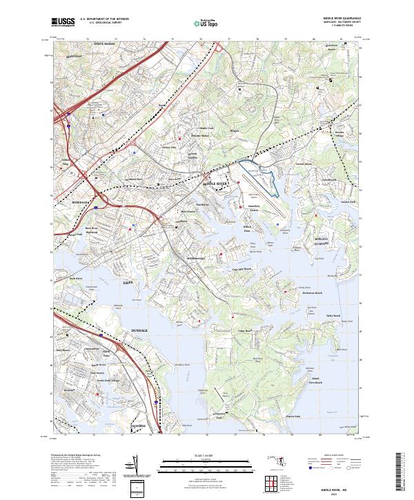 2023 Middle River2023 Print · USGSCovers Baltimore County, including Essex, Middle River, and other nearby areas
 - 2023 Map of Hereford, 2023 Print
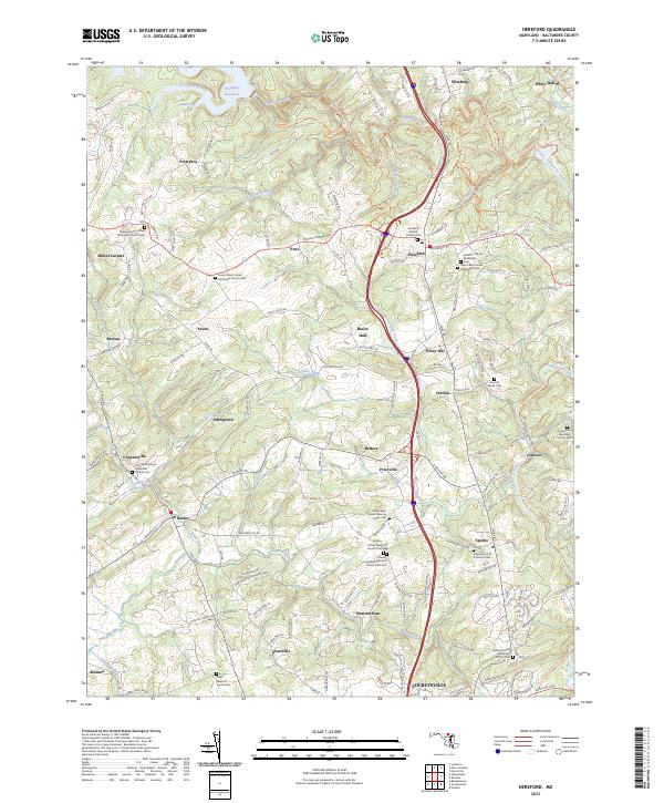 2023 Hereford2023 Print · USGSCovers Baltimore County, including Mantua, Yeoho, and other nearby areas
 - 2023 Map of Swan Point, 2023 Print
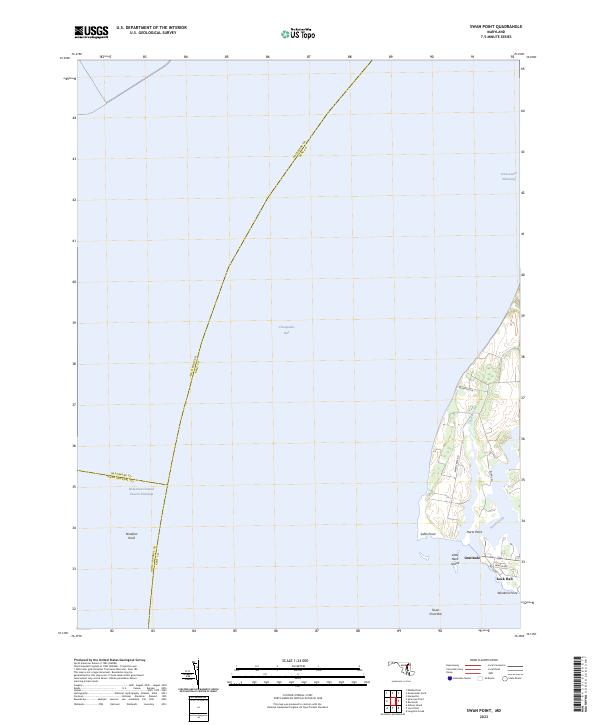 2023 Swan Point2023 Print · USGSCovers Baltimore County, including Rock Hall, Little Neck Farms, and other nearby areas
 - 2023 Map of Sparrows Point, 2023 Print
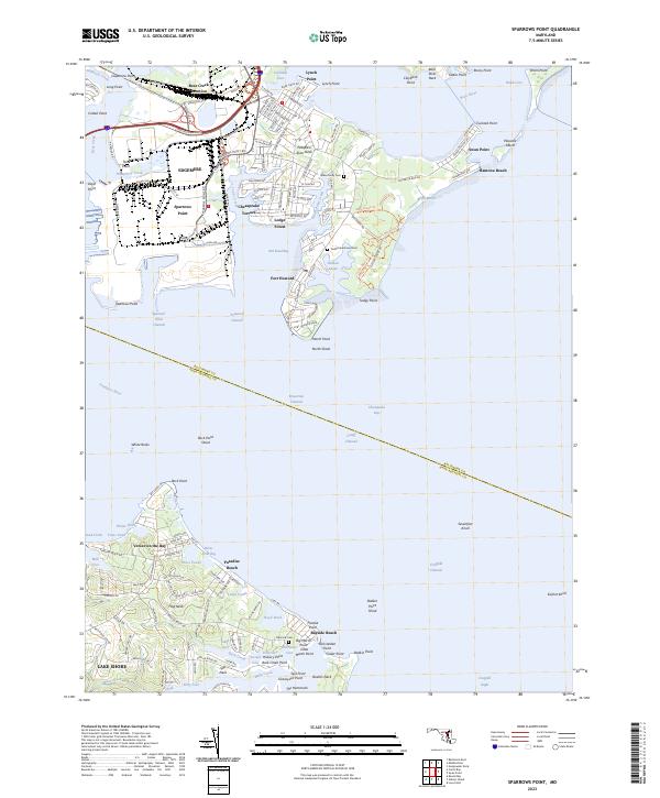 2023 Sparrows Point2023 Print · USGSCovers Baltimore County, including Bodkin Manor, Springdale, and other nearby areas
 - 2023 Map of Lineboro, 2023 Print
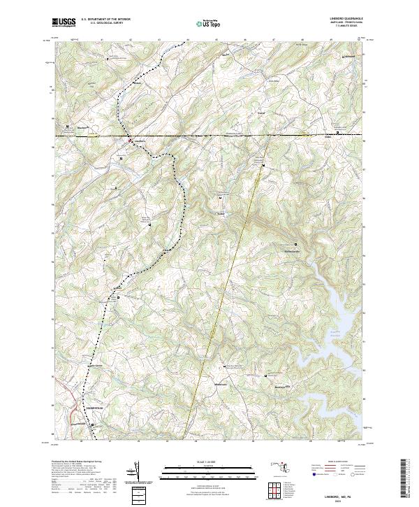 2023 Lineboro2023 Print · USGSCovers Baltimore County, including Hampstead, Manchester, and other nearby areas
 - 2023 Map of Finksburg, 2023 Print
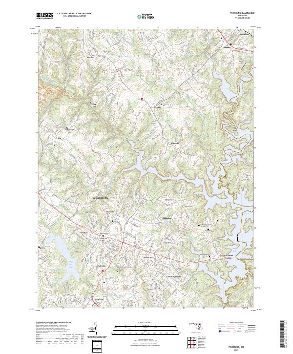 2023 Finksburg2023 Print · USGSCovers Baltimore County, including Eldersburg, Sykesville, and other nearby areas
 - 2023 Map of Gunpowder Neck, 2023 Print
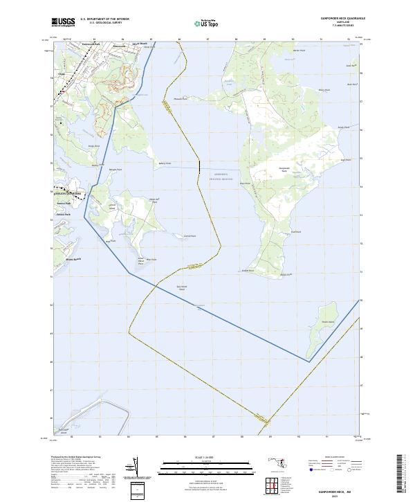 2023 Gunpowder Neck2023 Print · USGSCovers Baltimore County, including Harford County, Kent County, and other nearby areas
 - 2023 Map of Savage, 2023 Print
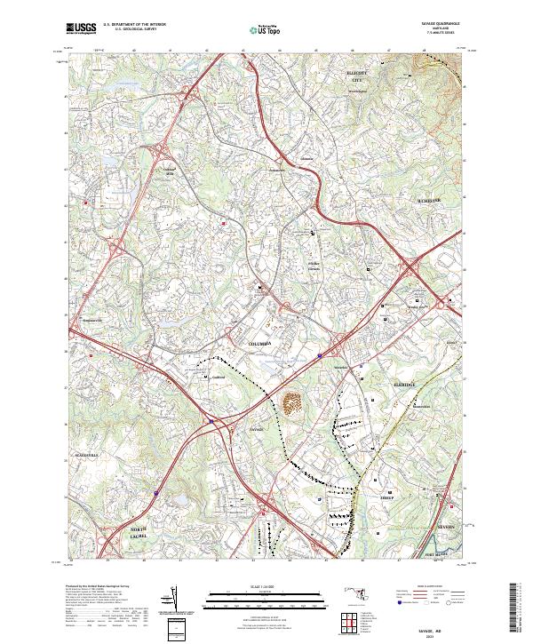 2023 Savage2023 Print · USGSCovers Baltimore County, including Columbia, Hanover Hills, and other nearby areas
 - 2023 Map of Edgewood, 2023 Print
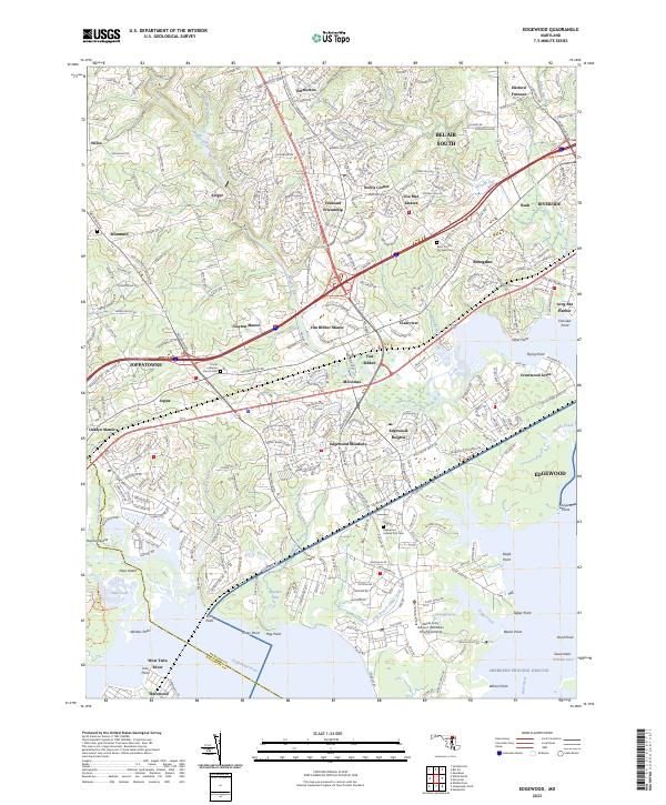 2023 Edgewood2023 Print · USGSCovers Baltimore County, including Edgewood, Ashby Place, and other nearby areas
 - 2023 Map of Towson, 2023 Print
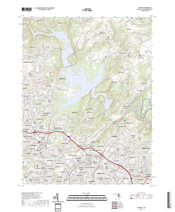 2023 Towson2023 Print · USGSCovers Baltimore County, including Towson, Towson, and other nearby areas
 - 2023 Map of Cockeysville, 2023 Print
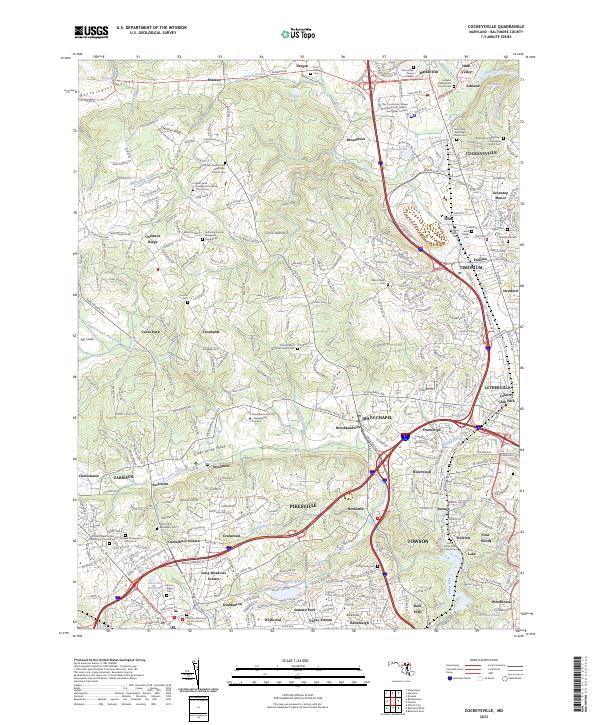 2023 Cockeysville2023 Print · USGSCovers Baltimore County, including Towson, Cockeysville, and other nearby areas
 - 2023 Map of Ellicott City, 2023 Print
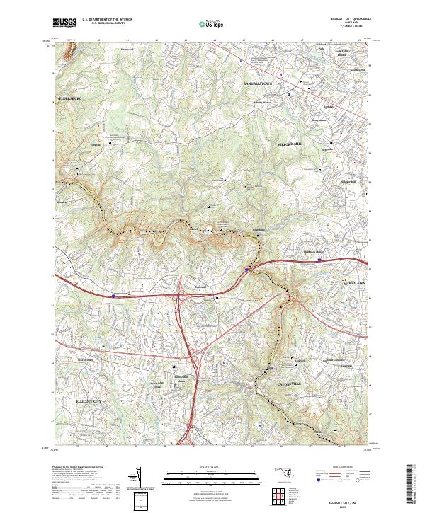 2023 Ellicott City2023 Print · USGSCovers Baltimore County, including Ellicott City, Randallstown, and other nearby areas
 - 2023 Map of White Marsh, 2023 Print
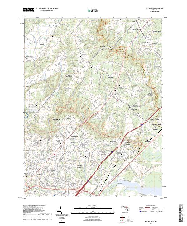 2023 White Marsh2023 Print · USGSCovers Baltimore County, including Perry Hall, Bagley, and other nearby areas
 - 2023 Map of Baltimore West, 2023 Print
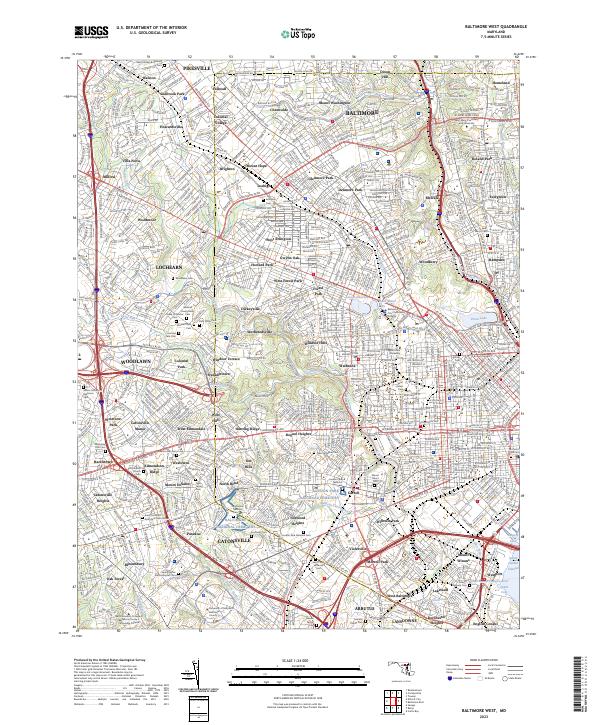 2023 Baltimore West2023 Print · USGSCovers Baltimore County, including Towson, Catonsville, and other nearby areas
 - 2023 Map of Reisterstown, 2023 Print
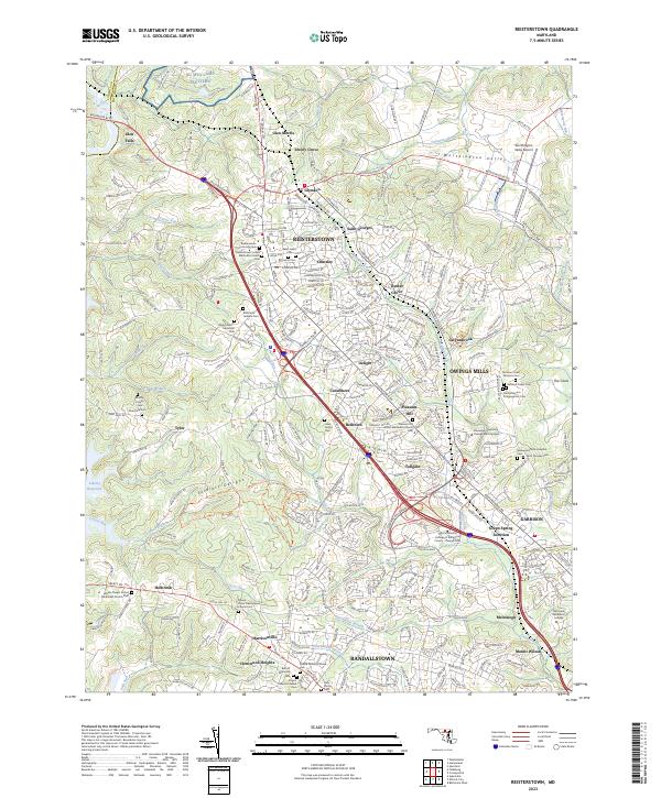 2023 Reisterstown2023 Print · USGSCovers Baltimore County, including Owings Mills, Reisterstown, and other nearby areas
 - 2023 Map of Baltimore East, 2023 Print
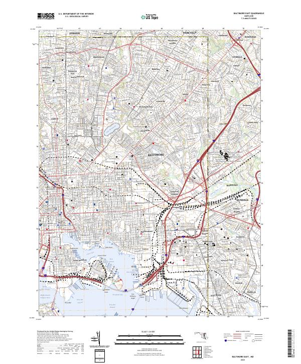 2023 Baltimore East2023 Print · USGSCovers Baltimore County, including Baltimore, Dundalk, and other nearby areas
End of results
Showing maps 1-24 of 24
Top cities of Baltimore County
- Dundalk historical maps
- Towson historical maps
- Catonsville historical maps
- Woodlawn historical maps
- Essex historical maps
- Randallstown historical maps
See more
Frequently asked questions
- What are the different types of historical maps available for Baltimore County?
- What is the oldest map of Baltimore County?
- Where can I purchase historical maps of Baltimore County for my home or office?
- Where can I download high-res historical maps of Baltimore County?
- Are there historical topographic maps available for Baltimore County?
- Is there historical aerial imagery available for Baltimore County?
- Where are historical maps of Baltimore County sourced from?