2010s Maps of Baltimore County, Maryland
Explore 96 historic maps of Baltimore County from the 2010s. These maps offer a rare glimpse into what life looked like during the 2010s — showing old roads, neighborhoods, homes, and landmarks that have changed or disappeared over time.
Whether you're researching your family's past, planning a metal detecting trip, or studying how Baltimore County's landscape evolved across the 2010s, these high-resolution maps are a powerful tool for exploring the history of this region.
- Focus on a specific era: All maps on this page are from the 2010s, giving you a focused view of this time period.
- See what’s changed: Compare century-old streets, trails, and buildings to today's modern landscape using overlays and satellite layers.
- Research with precision: Use these maps for genealogy, historical research, land use analysis, or educational projects.
- View, download, or print: Maps are fully viewable online in high resolution, and can be downloaded or printed for your own records.
Start exploring Baltimore County's history through authentic maps from the 2010s. This is your window into the past.
Baltimore County, MD maps
(96)- 2011 Map of Sparrows Point, 2011 Print
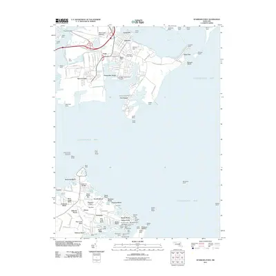 2011 Sparrows Point2011 Print · USGSChesapeake Bay coastal life and industrial history meet at the mouth of the Patapsco River during the early twenty-first century. Researchers can trace the layout of the massive Sparrows Point steel complex or locate family sites near Bodkin Manor and the Hancock Cemetery.
 - 2011 Map of Phoenix, 2011 Print
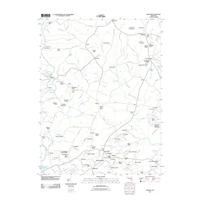 2011 Phoenix2011 Print · USGSThis part of Harford County is shown in the early twenty-first century, just as its historic agricultural estates and rural hamlets were being joined by modern residential manors. Genealogists and local historians can trace family locations at Bethel Cemetery, Henrys Bridge, or the Monkton Post Office.
 - 2011 Map of Middle River, 2011 Print
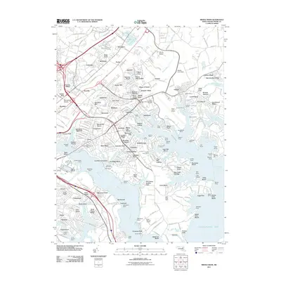 2011 Middle River2011 Print · USGSCoastal Baltimore County is shown in detail during the early twenty-first century as suburban communities and maritime industry line the Middle River. Researchers can trace local landmarks like Bengies Drive-In, Martin State Airport, and the Adath Israel Cemetery.
 - 2011 Map of Edgewood, 2011 Print
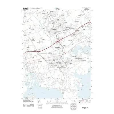 2011 Edgewood2011 Print · USGSHarford County's coastal corridor is captured here during a period of significant suburban density and industrial activity. Researchers can trace historic rail lines like the B AND O RR and locate local landmarks such as Harford Furnace and Osborns Ruins.
 - 2011 Map of Hampstead, 2011 Print
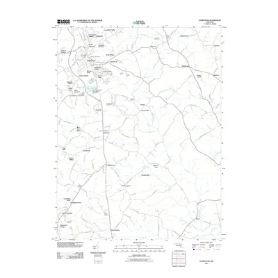 2011 Hampstead2011 Print · USGSHampstead and its surrounding Maryland countryside are captured here during a period of suburban expansion and local industry. Researchers can find burial sites at Emory Cemetery, trace the industrial grounds of Black and Decker Manufacturing Company, and locate rural crossroads like Boring.
 - 2011 Map of Reisterstown, 2011 Print
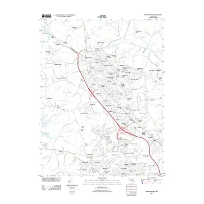 2011 Reisterstown2011 Print · USGSBaltimore County at the start of the 2010s shows a landscape of growing residential enclaves and preserved natural barrens. Genealogists and local historians can locate specific landmarks like the Maryland National Veterans Cemetery or trace the legacy of the Soldiers Delight Mine.
 - 2011 Map of Ellicott City, 2011 Print
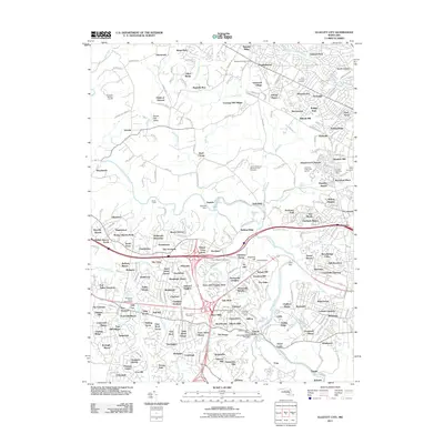 2011 Ellicott City2011 Print · USGSEllicott City and Randallstown appear during a period of significant suburban growth in the early twenty-first century. Genealogists and local historians can trace burial sites like Saint Johns Cemetery or locate civic landmarks such as the Ellicott Mills Station Post Office and Daniels Dam.
 - 2011 Map of Towson, 2011 Print
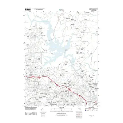 2011 Towson2011 Print · USGSBaltimore County at the start of the 2010s shows a dense network of suburban communities organized around the expansive Loch Raven Reservoir. Researchers can trace local landmarks like Towson University, the Ridgely Family Cemetery, and the historic Loch Raven Dam.
 - 2011 Map of Jarrettsville, 2011 Print
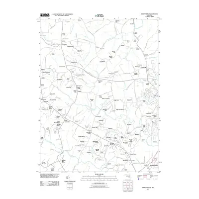 2011 Jarrettsville2011 Print · USGSHarford County is seen here in the early 2000s, where traditional rural estates meet modern residential subdivisions. Researchers can trace family history through several sites like Old Centre Cemetery or locate the Fallston Airport and Jarrettsville Post Office.
 - 2011 Map of White Marsh, 2011 Print
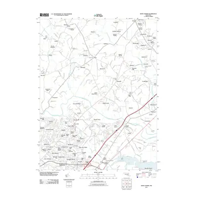 2011 White Marsh2011 Print · USGSMaryland's Gunpowder Falls valley is captured here in the early twenty-first century, showing a mix of historic mill sites and suburban growth. Researchers can locate the Jericho Covered Bridge, the Jerusalem Mills historic area, and family-named landmarks like Bagleys Venture.
 - 2011 Map of Finksburg, 2011 Print
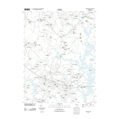 2011 Finksburg2011 Print · USGSMaryland's Piedmont reveals a landscape of massive reservoirs and institutional history in the years before the recent census. Researchers can trace family sites at Wesley-Freedom Cemetery, locate the Finksburg Post Office, or map the sprawling Springfield State Hospital.
 - 2011 Map of Cockeysville, 2011 Print
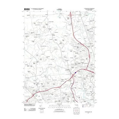 2011 Cockeysville2011 Print · USGSMaryland's Piedmont region in the early 2000s shows a complex blend of historic iron mines and modern suburban expansion. Trace the remnants of the Oregon Ore Bank, locate the Maryland State Fair Grounds, or find family roots near Druid Ridge Cemetery.
 - 2011 Map of Sykesville, 2011 Print
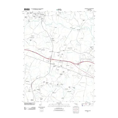 2011 Sykesville2011 Print · USGSMaryland's rolling piedmont near the turn of the decade shows a landscape of growing residential hubs and persistent rural roots. Genealogists and local historians can trace old property lines and community centers at Sykesville, Piccirilli Quarries, and Springfield Cemetery.
 - 2011 Map of Hereford, 2011 Print
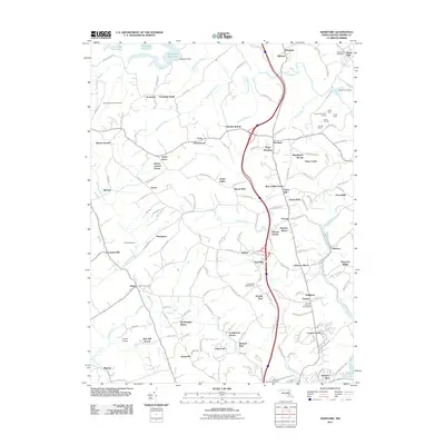 2011 Hereford2011 Print · USGSNorthern Baltimore County transitions from the water-rich lands of the Prettyboy Reservoir to the growing residential outskirts of Hereford during this era. Genealogists and historians can trace local landmarks like the Gunpowder Meetinghouse, the Bluemount Quarry, and the Northern Central Trail.
 - 2011 Map of Baltimore East, 2011 Print
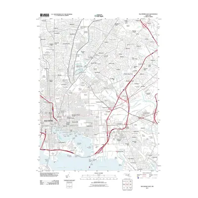 2011 Baltimore East2011 Print · USGSThe Baltimore waterfront in the early twenty-first century reveals a dense network of historic neighborhoods and industrial shipping hubs. Genealogists and historians can trace the city’s development through landmarks like Sevenfoot Knoll Lighthouse, the Fort McHenry Angle, and numerous local burial grounds such as Most Holy Redeemer Cemetery.
 - 2011 Map of Baltimore West, 2011 Print
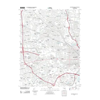 2011 Baltimore West2011 Print · USGSThe western half of the Baltimore metropolis is shown here in the early twenty-first century, spanning from the historic neighborhoods of Pikesville to the industrial waterfront. Researchers can trace the grounds of Pimlico Racetrack and numerous significant sites like Loudon Park National Cemetery or the Coppin State University campus.
 - 2011 Map of Norrisville, 2011 Print
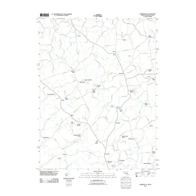 2011 Norrisville2011 Print · USGSThe rural borderlands of Maryland and Pennsylvania come into focus in this early twenty-first-century survey of Harford and York Counties. Genealogists and local historians can trace family roots through historic mill sites like Ivory Mill and Gorsuch Mills, or locate burials at Hopewell Cemetery.
 - 2011 Map of New Freedom, 2011 Print
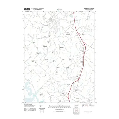 2011 New Freedom2011 Print · USGSThe Pennsylvania-Maryland border country comes to life in this study of the early twenty-first century landscape. Genealogists and historians can trace family-named sites like Walker Manor and Hendricks Farm alongside landmarks like Beetree Mill.
 - 2011 Map of Savage, 2011 Print
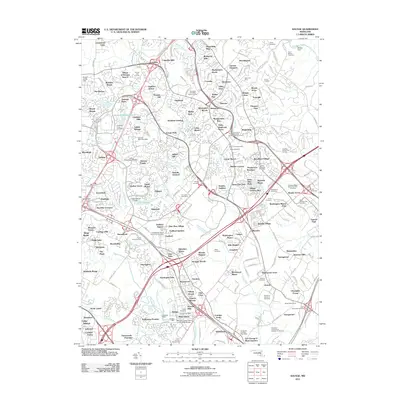 2011 Savage2011 Print · USGSMaryland's Howard County corridor is shown in detail during its late-twentieth-century transition from rural land to planned suburban centers. Researchers can trace historic industrial sites like Savage Mill or locate family plots at Cavey Cemetery and Grace Hills Cemetery.
 - 2011 Map of Relay, 2011 Print
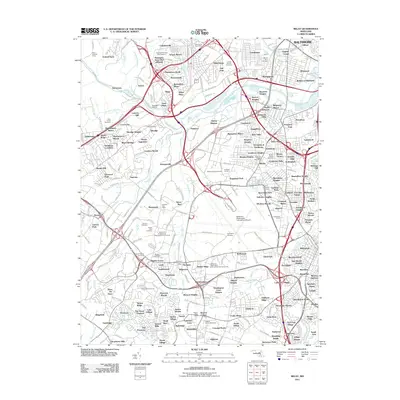 2011 Relay2011 Print · USGSMaryland's corridor between Baltimore and the capital is shown here in the early 2000s as a complex network of historic river towns and modern transit hubs. Genealogists can trace family locations near the Boyer Burial Ground, Harman Cemetery, or the historic Thomas Viaduct at Relay.
 - 2011 Map of Curtis Bay, 2011 Print
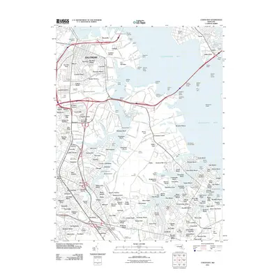 2011 Curtis Bay2011 Print · USGSThe industrial waterfront of southern Baltimore and the growing suburbs of Anne Arundel County meet in the early twenty-first century. Researchers can trace neighborhood development and maritime infrastructure through landmarks like Cromwell Station, Fort Carroll Light, and Masonville.
 - 2011 Map of Lineboro, 2011 Print
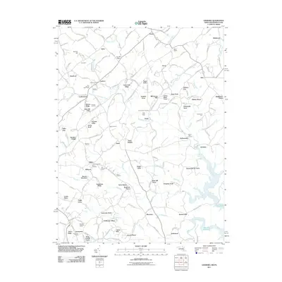 2011 Lineboro2011 Print · USGSThe rolling borderlands of Maryland and Pennsylvania are captured here in the early twenty-first century, showing a landscape defined by the Gunpowder River system. Local historians can trace the foundations of rural life through sites like Lineboro Post Office, Millers Cemetery, and the River Valley Ranch.
 - 2011 Map of Gunpowder Neck, 2011 Print
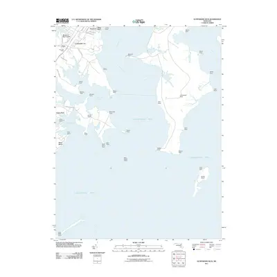 2011 Gunpowder Neck2011 Print · USGSThe Harford County coastline and Chesapeake Bay islands are captured here in the early twenty-first century. Researchers can trace waterfront communities like Oliver Beach or locate maritime landmarks such as Pooles Island Light and Goose Harbor Marina.
 - 2011 Map of Swan Point, 2011 Print
 2011 Swan Point2011 Print · USGSThe Eastern Shore's maritime character is on full display here in the early twenty-first century. Genealogists and researchers can trace the waterfront settlements of Gratitude and Deep Landing or locate family lands near Little Neck Farms and Swan Point.
 - 2013 Map of New Freedom, 2013 Print
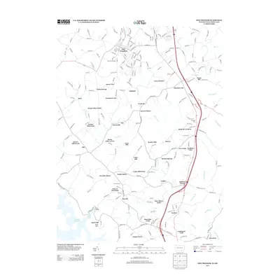 2013 New Freedom2013 Print · USGSThe Pennsylvania-Maryland border comes alive in this survey, showcasing the rural landscapes and historic mill sites south of New Freedom. Genealogists and local historians can trace family land at Keeney Mill Farms, Bentley Springs, or near the quiet waters of Prettyboy Reservoir.
Showing maps 1-25 of 96
Top cities of Baltimore County
- Dundalk historical maps
- Towson historical maps
- Catonsville historical maps
- Woodlawn historical maps
- Essex historical maps
- Randallstown historical maps
See more
Frequently asked questions
- What are the different types of historical maps available for Baltimore County?
- What is the oldest map of Baltimore County?
- Where can I purchase historical maps of Baltimore County for my home or office?
- Where can I download high-res historical maps of Baltimore County?
- Are there historical topographic maps available for Baltimore County?
- Is there historical aerial imagery available for Baltimore County?
- Where are historical maps of Baltimore County sourced from?