2000s (21st Century) Maps of Queen Anne's County, Maryland
Explore 95 historic maps of Queen Anne's County from the 2000s (21st Century). These maps offer a rare glimpse into what life looked like during the 2000s — showing old roads, neighborhoods, homes, and landmarks that have changed or disappeared over time.
Whether you're researching your family's past, planning a metal detecting trip, or studying how Queen Anne's County's landscape evolved across the 2000s, these high-resolution maps are a powerful tool for exploring the history of this region.
- Focus on a specific era: All maps on this page are from the 2000s, giving you a focused view of this time period.
- See what’s changed: Compare century-old streets, trails, and buildings to today's modern landscape using overlays and satellite layers.
- Research with precision: Use these maps for genealogy, historical research, land use analysis, or educational projects.
- View, download, or print: Maps are fully viewable online in high resolution, and can be downloaded or printed for your own records.
Start exploring Queen Anne's County's history through authentic maps from the 2000s. This is your window into the past.
Queen Anne's County, MD maps
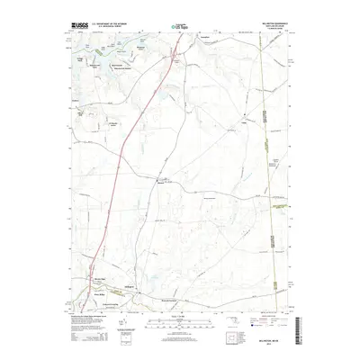
(95)- 2011 Map of Millington, 2011 Print
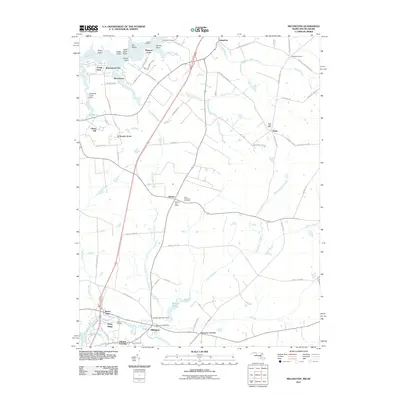 2011 Millington2011 Print · USGSCovers Queen Anne's County, including Galena, Peacock Corners, and other nearby areas
 - 2011 Map of Kenton, 2011 Print
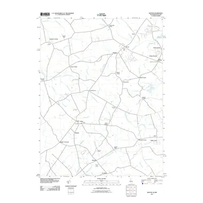 2011 Kenton2011 Print · USGSCovers Queen Anne's County, including Kenton, Hartly, and other nearby areas
 - 2011 Map of Annapolis, 2011 Print
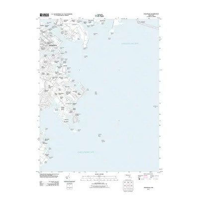 2011 Annapolis2011 Print · USGSCovers Queen Anne's County, including Annapolis, Naval Academy, and other nearby areas
 - 2011 Map of Wye Mills, 2011 Print
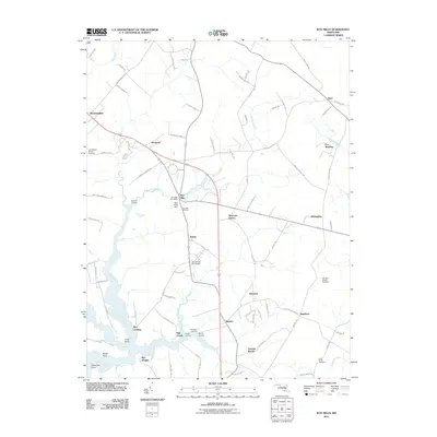 2011 Wye Mills2011 Print · USGSCovers Queen Anne's County, including Fox Meadow, Bloomingdale, and other nearby areas
 - 2011 Map of Ridgely, 2011 Print
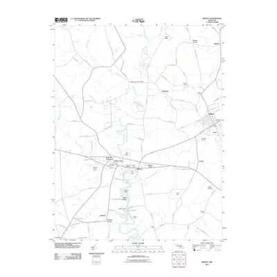 2011 Ridgely2011 Print · USGSCovers Queen Anne's County, including Ridgely, Hillsboro, and other nearby areas
 - 2011 Map of Sudlersville, 2011 Print
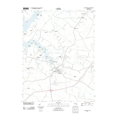
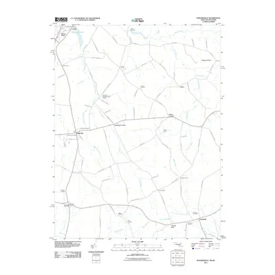 2011 Sudlersville2011 Print · USGSCovers Queen Anne's County, including Sudlersville, Barclay, and other nearby areas
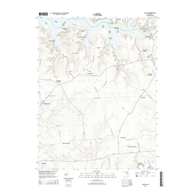
 - 2011 Map of Galena, 2011 Print
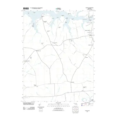 2011 Galena2011 Print · USGSCovers Queen Anne's County, including Galena, Glencoe, and other nearby areas
 - 2011 Map of Queenstown, 2011 Print
 2011 Queenstown2011 Print · USGSCovers Queen Anne's County, including Grasonville, Queenstown, and other nearby areas
 - 2011 Map of Price, 2011 Print
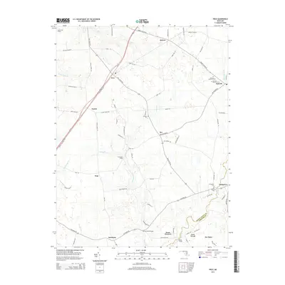
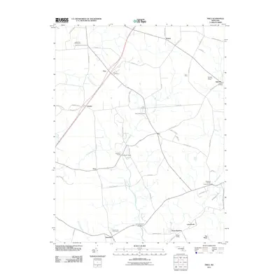 2011 Price2011 Print · USGSCovers Queen Anne's County, including Ruthsburg, Lynn Woods, and other nearby areas
 - 2011 Map of Kent Island, 2011 Print
 2011 Kent Island2011 Print · USGSCovers Queen Anne's County, including Stevensville, Chester, and other nearby areas
 - 2011 Map of Goldsboro, 2011 Print
 2011 Goldsboro2011 Print · USGSCovers Queen Anne's County, including Goldsboro, Henderson, and other nearby areas
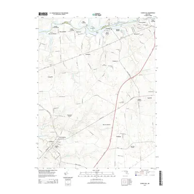
 - 2011 Map of Church Hill, 2011 Print
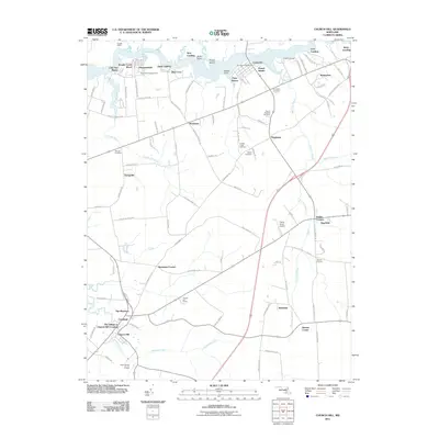 2011 Church Hill2011 Print · USGSCovers Queen Anne's County, including Church Hill, The Meadows, and other nearby areas
 - 2011 Map of Claiborne, 2011 Print
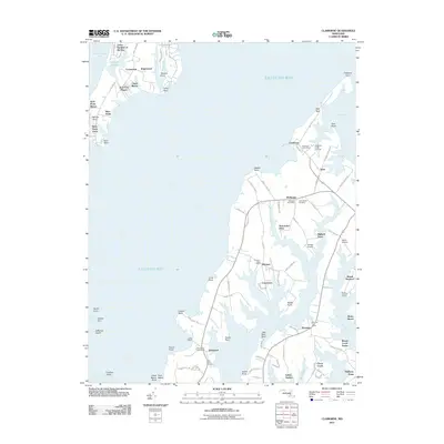 2011 Claiborne2011 Print · USGSCovers Queen Anne's County, including Claiborne, Mount Pleasant, and other nearby areas
 - 2011 Map of Saint Michaels, 2011 Print
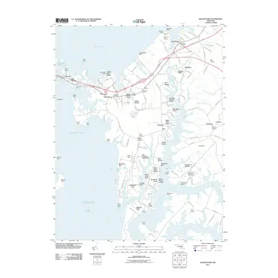
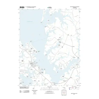 2011 Saint Michaels2011 Print · USGSCovers Queen Anne's County, including Saint Michaels, Rays Point, and other nearby areas
 - 2011 Map of Deale OE E, 2011 Print
 2011 Deale OE E2011 Print · USGSCovers Queen Anne's County, including Felicity Cove, Idlewilde, and other nearby areas
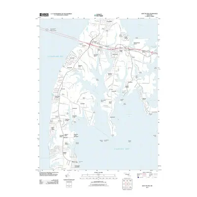
 - 2011 Map of Love Point, 2011 Print
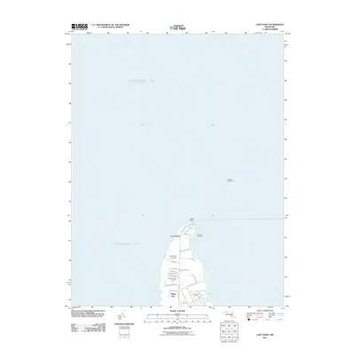 2011 Love Point2011 Print · USGSCovers Queen Anne's County, including Love Point, Anne Arundel County, and other nearby areas
 - 2011 Map of Chestertown, 2011 Print
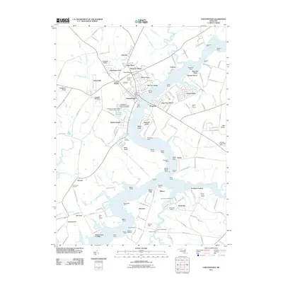 2011 Chestertown2011 Print · USGSCovers Queen Anne's County, including Chestertown, Kingstown, and other nearby areas
 - 2011 Map of Centreville, 2011 Print
 2011 Centreville2011 Print · USGSCovers Queen Anne's County, including Centreville, Indian Town, and other nearby areas
 - 2011 Map of Langford Creek, 2011 Print
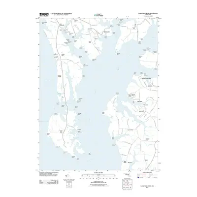 2011 Langford Creek2011 Print · USGSCovers Queen Anne's County, including Baker, Blakeford, and other nearby areas
 - 2014 Map of Sudlersville, 2014 Print
 2014 Sudlersville2014 Print · USGSCovers Queen Anne's County, including Sudlersville, Barclay, and other nearby areas
 - 2014 Map of Millington, 2014 Print
 2014 Millington2014 Print · USGSCovers Queen Anne's County, including Galena, Peacock Corners, and other nearby areas
 - 2014 Map of Galena, 2014 Print
 2014 Galena2014 Print · USGSCovers Queen Anne's County, including Galena, Glencoe, and other nearby areas
 - 2014 Map of Price, 2014 Print
 2014 Price2014 Print · USGSCovers Queen Anne's County, including Ruthsburg, Lynn Woods, and other nearby areas
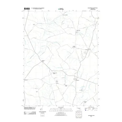
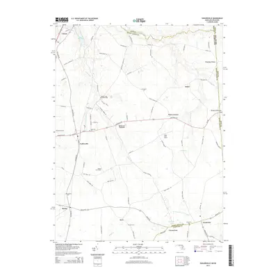
 - 2014 Map of Kenton, 2014 Print
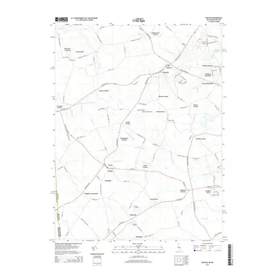 2014 Kenton2014 Print · USGSCovers Queen Anne's County, including Kenton, Hartly, and other nearby areas
 - 2014 Map of Church Hill, 2014 Print
 2014 Church Hill2014 Print · USGSCovers Queen Anne's County, including Church Hill, The Meadows, and other nearby areas
Showing maps 1-25 of 95
Top cities of Queen Anne's County
- Stevensville historical maps
- Centreville historical maps
- Chester historical maps
- Grasonville historical maps
- Kingstown historical maps
- Queenstown historical maps
See more
Frequently asked questions
- What are the different types of historical maps available for Queen Anne's County?
- What is the oldest map of Queen Anne's County?
- Where can I purchase historical maps of Queen Anne's County for my home or office?
- Where can I download high-res historical maps of Queen Anne's County?
- Are there historical topographic maps available for Queen Anne's County?
- Is there historical aerial imagery available for Queen Anne's County?
- Where are historical maps of Queen Anne's County sourced from?