2010s Maps of Somerset County, Maryland
Explore 79 historic maps of Somerset County from the 2010s. These maps offer a rare glimpse into what life looked like during the 2010s — showing old roads, neighborhoods, homes, and landmarks that have changed or disappeared over time.
Whether you're researching your family's past, planning a metal detecting trip, or studying how Somerset County's landscape evolved across the 2010s, these high-resolution maps are a powerful tool for exploring the history of this region.
- Focus on a specific era: All maps on this page are from the 2010s, giving you a focused view of this time period.
- See what’s changed: Compare century-old streets, trails, and buildings to today's modern landscape using overlays and satellite layers.
- Research with precision: Use these maps for genealogy, historical research, land use analysis, or educational projects.
- View, download, or print: Maps are fully viewable online in high resolution, and can be downloaded or printed for your own records.
Start exploring Somerset County's history through authentic maps from the 2010s. This is your window into the past.
Somerset County, MD maps
(79)- 2011 Map of Saxis, 2011 Print
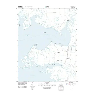 2011 Saxis2011 Print · USGSThe Virginia and Maryland borderlands along the Eastern Shore come into focus in this coastal survey. Genealogists and local historians can trace the roads and waterways connecting Saxis, Sanford, and Grotons near the Pocomoke Sound.
 - 2011 Map of Hallwood, 2011 Print
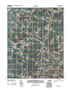 2011 Hallwood2011 Print · USGSCoastal Virginia during the early twenty-first century reveals a landscape of enduring rural crossroads and tidal waterways. Genealogists and historians can trace family locations through named sites like Temperanceville, Hallwood, and Greenwood Cemetery.
 - 2011 Map of Crisfield, 2011 Print
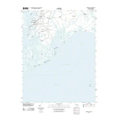 2011 Crisfield2011 Print · USGSThe maritime communities of Somerset County appear in fine detail during the early twenty-first century. Genealogists can trace family footprints near Mariners Cemetery and Asbury Cemetery or through local hubs like Lawsonia and Crisfield.
 - 2011 Map of Great Fox Island, 2011 Print
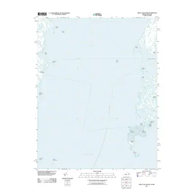 2011 Great Fox Island2011 Print · USGSThe maritime fringes of Virginia and Maryland are captured here in the early twenty-first century as they border the expansive Tangier Sound. Researchers can trace old coastal landmarks and navigational aids like the Somers Cove Lighthouse and the remote reaches of Great Fox Island.
 - 2011 Map of Ewell, 2011 Print
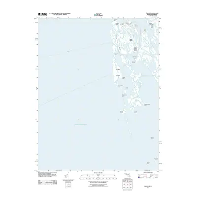 2011 Ewell2011 Print · USGSSmith Island and its isolated Chesapeake communities are captured here in the early twenty-first century. Genealogists and historians can trace the remote settlements of Ewell, Rhodes Point, and Tylerton, along with landmarks like the Tylerton Post Office.
 - 2011 Map of Smith Point, 2011 Print
 2011 Smith Point2011 Print · USGSThe confluence of the Potomac River and the Chesapeake Bay is captured in this early 21st-century nautical survey. Trace coastal landmarks like Smith Point and local routes including Tranquility Rd and the Reedville-Ewell crossing.
 - 2011 Map of Deal Island, 2011 Print
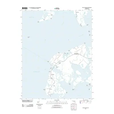 2011 Deal Island2011 Print · USGSChesapeake Bay's eastern shore comes into focus in the early 2010s, showing the water-bound communities of Somerset County. Genealogists can locate family landmarks like Saint Johns Cemetery or the Chance and Rock Creek Cemetery and trace the local post offices at Wenona and Dames Quarter.
 - 2011 Map of Dividing Creek, 2011 Print
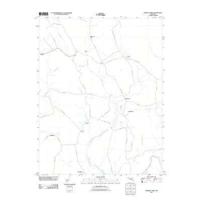 2011 Dividing Creek2011 Print · USGSMaryland's eastern shore interior comes into focus during the early 2000s, showing a landscape defined by creeks and small hamlets. Genealogists can trace family heritage through numerous landmarks like Perryhawkin Cemetery, Nazareth Cemetery, and the settlement of Whiteburg.
 - 2011 Map of Eden, 2011 Print
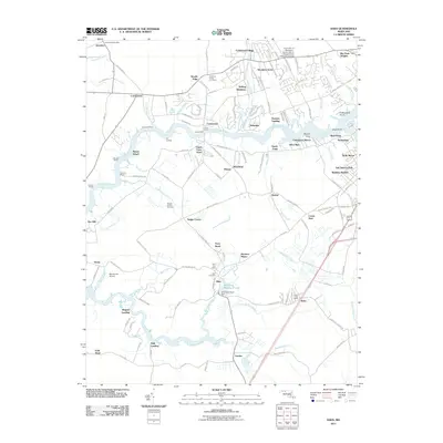 2011 Eden2011 Print · USGSThe riverfront and rural reaches of Wicomico County are documented here in the early twenty-first century. Researchers can trace historical river landings like Quantico Wharf and Pirates Wharf, alongside inland landmarks such as Allen Cemetery and Eden.
 - 2011 Map of Marion, 2011 Print
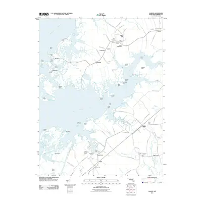 2011 Marion2011 Print · USGSThe Somerset County coastline is captured here in detail during the early twenty-first century, showcasing the marshy interface of the Big Annemessex River and Tangier Sound. Genealogists can trace family roots through numerous sites like Union Cemetery, Saint Peters Cemetery, and the Marion Post Office.
 - 2011 Map of Princess Anne, 2011 Print
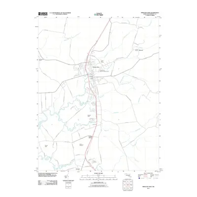 2011 Princess Anne2011 Print · USGSPrincess Anne and its surrounding Somerset County coastal plains are captured here in the early twenty-first century. Genealogists can trace family connections at Antioch Cemetery or Palmetto Cemetery, while historians examine the growth of the University of Maryland Eastern Shore.
 - 2011 Map of Terrapin Sand Point, 2011 Print
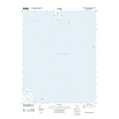 2011 Terrapin Sand Point2011 Print · USGSCoastal Somerset County is captured in the early 21st century, showing the intricate marshlands and islands of Tangier Sound. Trace the shorelines of Smith Island and Little Deal Island or locate points like Terrapin Sand Point and Hazard Point.
 - 2011 Map of Monie, 2011 Print
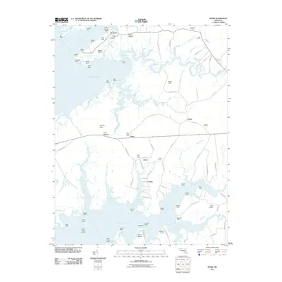 2011 Monie2011 Print · USGSCoastal Somerset County in the early twenty-first century remains a landscape of tidal marshes and quiet bayfront hamlets. Genealogists and local historians can trace family names through several historic burial sites, including Asbury and All Saints Cemetery, or locate the old Monie and Oriole Post Offices.
 - 2011 Map of Salisbury, 2011 Print
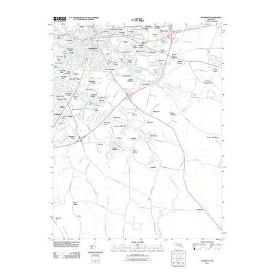 2011 Salisbury2011 Print · USGSSalisbury and Fruitland are shown in the early twenty-first century as the region balanced its educational growth with established Eastern Shore community roots. Genealogists and local historians can trace family plots at Union Cemetery or Hustons Cemetery and locate landmarks like the Wicomico Orphanage.
 - 2011 Map of Wetipquin, 2011 Print
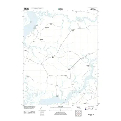 2011 Wetipquin2011 Print · USGSThe eastern shore of Maryland's Wicomico and Somerset counties retains its maritime character in the early twenty-first century. Researchers can trace historical river connections through the Whitehaven Ferry, find old family names at Dolbey Cemetery, and locate riverfront sites like Widgeon Wharf.
 - 2011 Map of Pocomoke City, 2011 Print
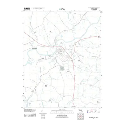 2011 Pocomoke City2011 Print · USGSMaryland's Lower Eastern Shore is documented here at the turn of the decade, centered on the riverfront commerce and neighborhoods of Pocomoke City. Genealogists can locate family sites at Saint Marys Cemetery, Quinton Cemetery, and the river landing at Puncheon Landing.
 - 2011 Map of Kingston, 2011 Print
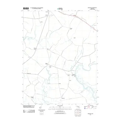 2011 Kingston2011 Print · USGSThe Eastern Shore of Maryland in the early twenty-first century reveals a landscape shaped by tidewater rivers and small agricultural crossroads. Genealogists can trace family roots at Rehobeth Cemetery or locate old service hubs like the Kingston Post Office and Westover.
 - 2011 Map of Bloodsworth Island, 2011 Print
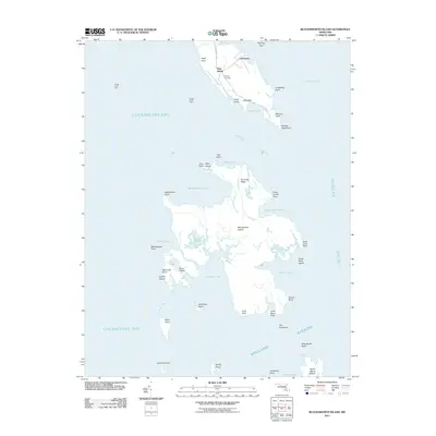 2011 Bloodsworth Island2011 Print · USGSThe Dorchester County shoreline and its outlying archipelago are documented in the early 2010s before further coastal changes. Maritime researchers can trace family-named points and isolated landmarks such as Bethany Cemetery, Bishops Head, and Bloodsworth Island.
 - 2011 Map of Kedges Straits, 2011 Print
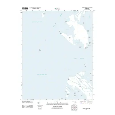 2011 Kedges Straits2011 Print · USGSMaryland's eastern shore islands and tidal straits are captured here in the early twenty-first century as the sea shapes this Dorchester County archipelago. Maritime researchers can locate navigation aids like the Solomons Lump Lighthouse or trace family-named points including Pungers Point and Brant Hole Point.
 - 2013 Map of Hallwood, 2013 Print
 2013 Hallwood2013 Print · USGSThe northern reaches of Accomack County are shown in great detail during the early 2000s, where rural crossroads and coastal inlets define the landscape. Researchers can trace old family sites and settlements like Tunnels Mill, New Church, and Bullbegger.
 - 2013 Map of Saxis, 2013 Print
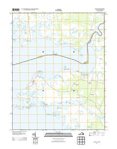 2013 Saxis2013 Print · USGSThe Virginia-Maryland border along the Pocomoke Sound is revealed here in the early twenty-first century as a land of tide-swept marshes and small coastal villages. Trace the isolated settlement of Saxis and its surrounding guts or explore inland communities like Sanford and Messongo.
 - 2013 Map of Great Fox Island, 2013 Print
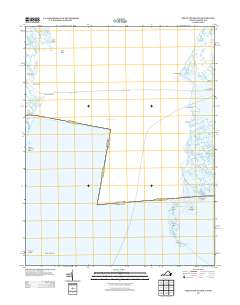 2013 Great Fox Island2013 Print · USGSThe Virginia and Maryland borderlands in the early twenty-first century are defined by the tide-swept reaches of Tangier Sound. Genealogists and historians can trace the remote settlement at Horse Hammock, the namesake Great Fox Island, and the Somers Cove Lighthouse.
 - 2013 Map of Smith Point, 2013 Print
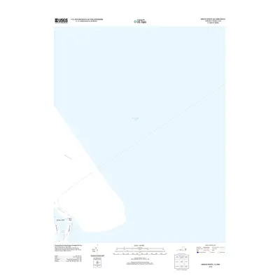 2013 Smith Point2013 Print · USGSThe Potomac River meets the Chesapeake Bay in the early twenty-first century at this prominent coastal point. Researchers can trace the shoreline around Bamboo Island and follow local routes like Tranquillity Rd near the edge of Rock Hole.
 - 2014 Map of Dividing Creek, 2014 Print
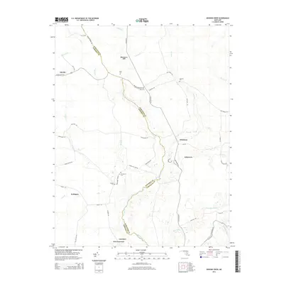 2014 Dividing Creek2014 Print · USGSThe borderlands of Somerset and Worcester counties are shown here in the mid-2010s, centered on the winding Dividing Creek. Genealogists and local historians can trace family locations near Oakville, Whiteburg, and several rural burial sites like Pusey Cem and Emanuel Cem.
 - 2014 Map of Deal Island, 2014 Print
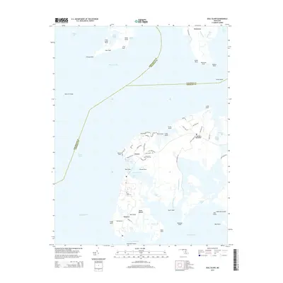 2014 Deal Island2014 Print · USGSMaryland's marshy Eastern Shore is captured here in the early twenty-first century, showing the resilient waterman communities of Deal Island. You can trace local family heritage at Saint Johns Cem and explore the winding tidal reaches of Tangier Sound and Wenona.
Showing maps 1-25 of 79
Top cities of Somerset County
Frequently asked questions
- What are the different types of historical maps available for Somerset County?
- What is the oldest map of Somerset County?
- Where can I purchase historical maps of Somerset County for my home or office?
- Where can I download high-res historical maps of Somerset County?
- Are there historical topographic maps available for Somerset County?
- Is there historical aerial imagery available for Somerset County?
- Where are historical maps of Somerset County sourced from?