2000s (21st Century) Maps of Wicomico County, Maryland
Explore 75 historic maps of Wicomico County from the 2000s (21st Century). These maps offer a rare glimpse into what life looked like during the 2000s — showing old roads, neighborhoods, homes, and landmarks that have changed or disappeared over time.
Whether you're researching your family's past, planning a metal detecting trip, or studying how Wicomico County's landscape evolved across the 2000s, these high-resolution maps are a powerful tool for exploring the history of this region.
- Focus on a specific era: All maps on this page are from the 2000s, giving you a focused view of this time period.
- See what’s changed: Compare century-old streets, trails, and buildings to today's modern landscape using overlays and satellite layers.
- Research with precision: Use these maps for genealogy, historical research, land use analysis, or educational projects.
- View, download, or print: Maps are fully viewable online in high resolution, and can be downloaded or printed for your own records.
Start exploring Wicomico County's history through authentic maps from the 2000s. This is your window into the past.
Wicomico County, MD maps
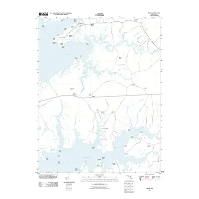
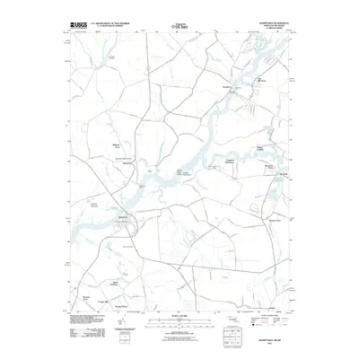
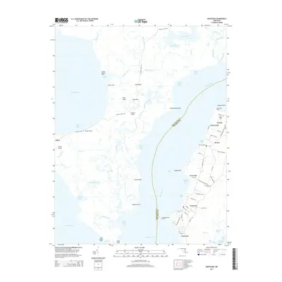
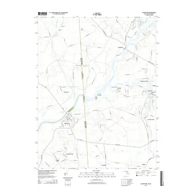
(75)- 2011 Map of Wango, 2011 Print
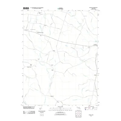 2011 Wango2011 Print · USGSCovers Wicomico County, including Shavox, Forest Grove, and other nearby areas
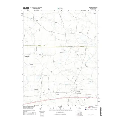
 - 2011 Map of Pittsville, 2011 Print
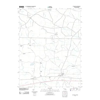 2011 Pittsville2011 Print · USGSCovers Wicomico County, including Pittsville, Pepperbox, and other nearby areas
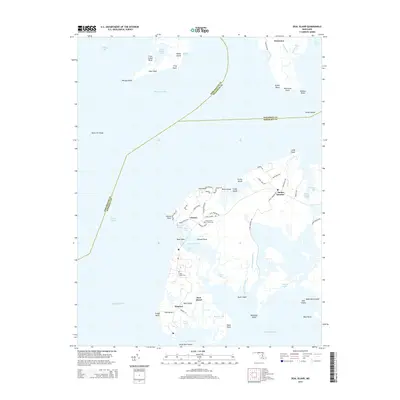
 - 2011 Map of Deal Island, 2011 Print
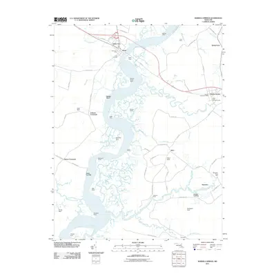
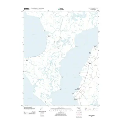
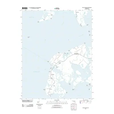 2011 Deal Island2011 Print · USGSCovers Wicomico County, including Waterview, Chance, and other nearby areas
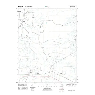
 - 2011 Map of Rhodesdale, 2011 Print
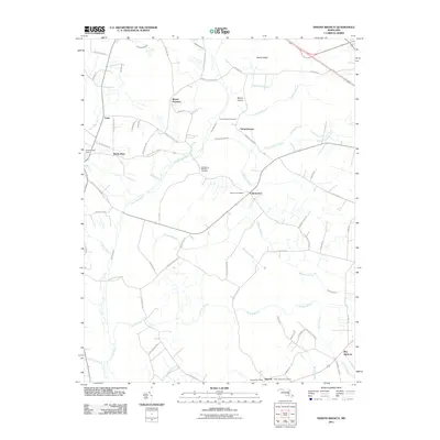
 2011 Rhodesdale2011 Print · USGSCovers Wicomico County, including Hurlock, Brookview, and other nearby areas
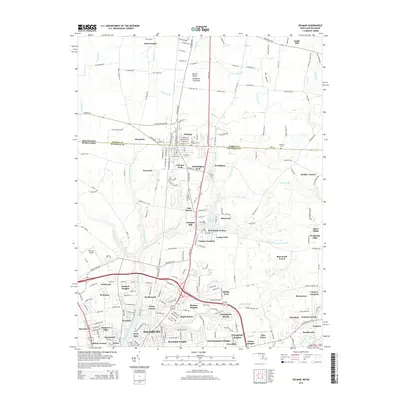
 - 2011 Map of Hebron, 2011 Print
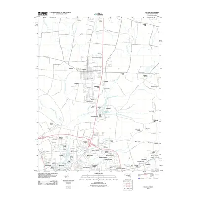
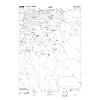
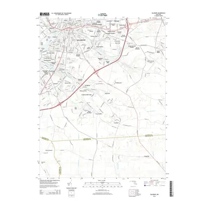
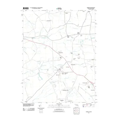 2011 Hebron2011 Print · USGSCovers Wicomico County, including Salisbury, Hebron, and other nearby areas
 - 2011 Map of Mardela Springs, 2011 Print
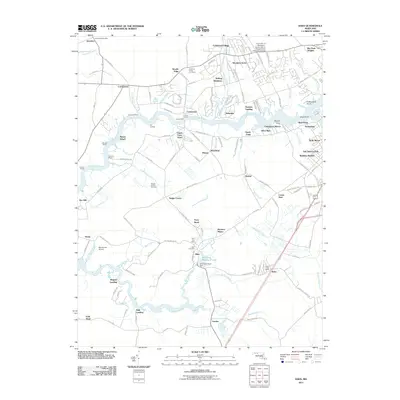
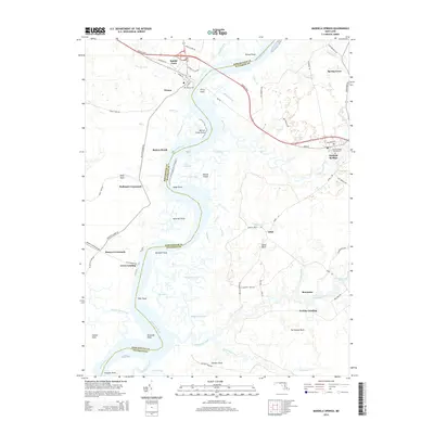
 2011 Mardela Springs2011 Print · USGSCovers Wicomico County, including Mardela Springs, Vienna, and other nearby areas
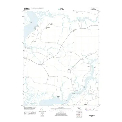
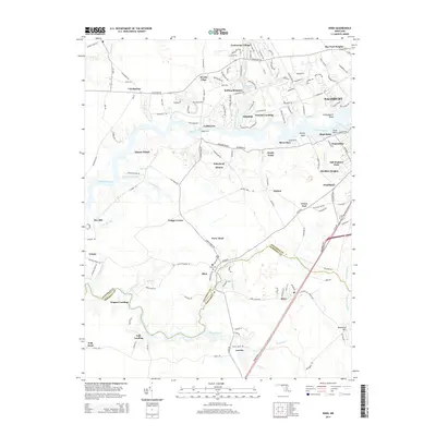
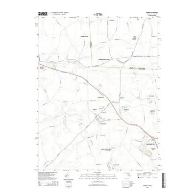
 - 2011 Map of Eden, 2011 Print
 2011 Eden2011 Print · USGSCovers Wicomico County, including Salisbury, Fruitland, and other nearby areas
 - 2011 Map of Delmar, 2011 Print
 2011 Delmar2011 Print · USGSCovers Wicomico County, including Salisbury, Delmar, and other nearby areas
 - 2011 Map of Ninepin Branch, 2011 Print
 2011 Ninepin Branch2011 Print · USGSCovers Wicomico County, including Bay Harbour, Newark, and other nearby areas
 - 2011 Map of Monie, 2011 Print
 2011 Monie2011 Print · USGSCovers Wicomico County, including Champ, Venton, and other nearby areas
 - 2011 Map of Salisbury, 2011 Print
 2011 Salisbury2011 Print · USGSCovers Wicomico County, including Salisbury, Fruitland, and other nearby areas
 - 2011 Map of Wetipquin, 2011 Print
 2011 Wetipquin2011 Print · USGSCovers Wicomico County, including Widgeon, Gum Swamp, and other nearby areas
 - 2011 Map of Nanticoke, 2011 Print
 2011 Nanticoke2011 Print · USGSCovers Wicomico County, including Nanticoke Acres, Briar Patch, and other nearby areas
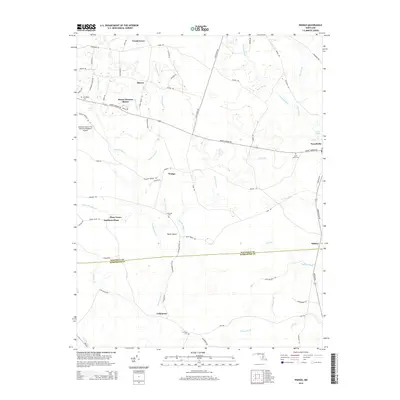
 - 2011 Map of Sharptown, 2011 Print
 2011 Sharptown2011 Print · USGSCovers Wicomico County, including Sharptown, Bethel, and other nearby areas
 - 2011 Map of Whaleyville, 2011 Print
 2011 Whaleyville2011 Print · USGSCovers Wicomico County, including Selbyville, Willards, and other nearby areas
 - 2014 Map of Wango, 2014 Print
 2014 Wango2014 Print · USGSCovers Wicomico County, including Shavox, Forest Grove, and other nearby areas
 - 2014 Map of Deal Island, 2014 Print
 2014 Deal Island2014 Print · USGSCovers Wicomico County, including Waterview, Chance, and other nearby areas
 - 2014 Map of Eden, 2014 Print
 2014 Eden2014 Print · USGSCovers Wicomico County, including Salisbury, Fruitland, and other nearby areas
 - 2014 Map of Nanticoke, 2014 Print
 2014 Nanticoke2014 Print · USGSCovers Wicomico County, including Nanticoke Acres, Briar Patch, and other nearby areas
 - 2014 Map of Salisbury, 2014 Print
 2014 Salisbury2014 Print · USGSCovers Wicomico County, including Salisbury, Fruitland, and other nearby areas
 - 2014 Map of Hebron, 2014 Print
 2014 Hebron2014 Print · USGSCovers Wicomico County, including Salisbury, Hebron, and other nearby areas
 - 2014 Map of Sharptown, 2014 Print
 2014 Sharptown2014 Print · USGSCovers Wicomico County, including Sharptown, Bethel, and other nearby areas
 - 2014 Map of Pittsville, 2014 Print
 2014 Pittsville2014 Print · USGSCovers Wicomico County, including Pittsville, Pepperbox, and other nearby areas
 - 2014 Map of Delmar, 2014 Print
 2014 Delmar2014 Print · USGSCovers Wicomico County, including Salisbury, Delmar, and other nearby areas
 - 2014 Map of Mardela Springs, 2014 Print
 2014 Mardela Springs2014 Print · USGSCovers Wicomico County, including Mardela Springs, Vienna, and other nearby areas
Showing maps 1-25 of 75
Top cities of Wicomico County
- Salisbury historical maps
- Fruitland historical maps
- Pittsville historical maps
- Hebron historical maps
- Willards historical maps
- Sharptown historical maps
See more
Frequently asked questions
- What are the different types of historical maps available for Wicomico County?
- What is the oldest map of Wicomico County?
- Where can I purchase historical maps of Wicomico County for my home or office?
- Where can I download high-res historical maps of Wicomico County?
- Are there historical topographic maps available for Wicomico County?
- Is there historical aerial imagery available for Wicomico County?
- Where are historical maps of Wicomico County sourced from?