2020s Maps of Falmouth, Massachusetts
Explore 19 historic maps of Falmouth from the 2020s. These maps offer a rare glimpse into what life looked like during the 2020s — showing old roads, neighborhoods, homes, and landmarks that have changed or disappeared over time.
Whether you're researching your family's past, planning a metal detecting trip, or studying how Falmouth's landscape evolved across the 2020s, these high-resolution maps are a powerful tool for exploring the history of this region.
- Focus on a specific era: All maps on this page are from the 2020s, giving you a focused view of this time period.
- See what’s changed: Compare century-old streets, trails, and buildings to today's modern landscape using overlays and satellite layers.
- Research with precision: Use these maps for genealogy, historical research, land use analysis, or educational projects.
- View, download, or print: Maps are fully viewable online in high resolution, and can be downloaded or printed for your own records.
Start exploring Falmouth's history through authentic maps from the 2020s. This is your window into the past.
Falmouth, MA maps
(19)- 2021 Map of Vineyard Haven, 2021 Print
 2021 Vineyard Haven2021 Print · USGSCovers Falmouth, including Tisbury, West Tisbury, and other nearby areas
 - 2021 Map of Sconticut Neck, 2021 Print
 2021 Sconticut Neck2021 Print · USGSCovers Falmouth, including Fairhaven, Mattapoisett, and other nearby areas
 - 2021 Map of Onset, 2021 Print
 2021 Onset2021 Print · USGSCovers Falmouth, including Wareham, Bourne, and other nearby areas
 - 2021 Map of Cotuit, 2021 Print
 2021 Cotuit2021 Print · USGSCovers Falmouth, including Mashpee, Osterville, and other nearby areas
 - 2021 Map of Edgartown, 2021 Print
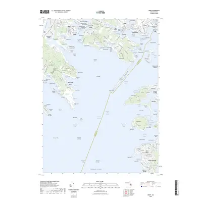
 2021 Edgartown2021 Print · USGSCovers Falmouth, including Mashpee, Tisbury, and other nearby areas
 - 2021 Map of Pocasset, 2021 Print
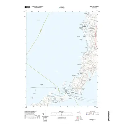
 2021 Pocasset2021 Print · USGSCovers Falmouth, including Wareham, Sandwich, and other nearby areas
 - 2021 Map of Woods Hole, 2021 Print
 2021 Woods Hole2021 Print · USGSCovers Falmouth, including Mattapoisett, Woods Hole, and other nearby areas
 - 2021 Map of Falmouth, 2021 Print
 2021 Falmouth2021 Print · USGSCovers Falmouth, including Mashpee, Tisbury, and other nearby areas
 - 2023 Map of Onset, 2023 Print
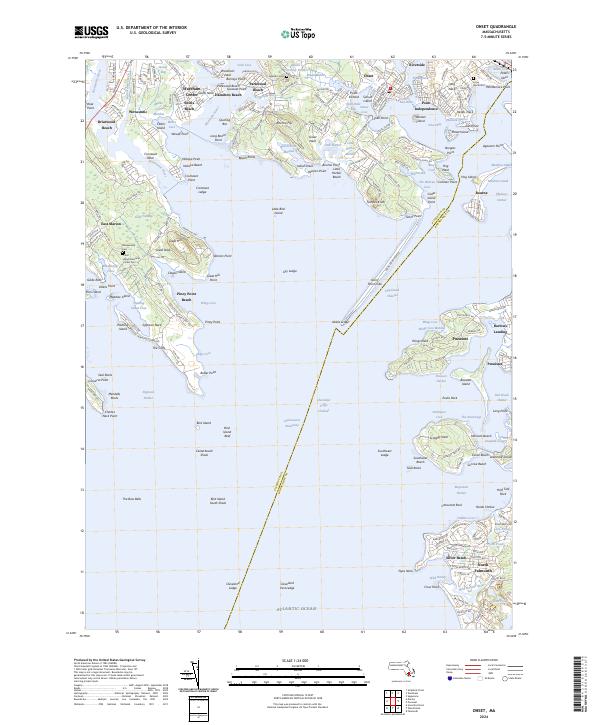
 2023 Onset2023 Print · USGSCovers Falmouth, including Wareham, Bourne, and other nearby areas
 - 2023 Map of Edgartown, 2023 Print
 2023 Edgartown2023 Print · USGSCovers Falmouth, including Mashpee, Tisbury, and other nearby areas
 - 2023 Map of Cotuit, 2023 Print
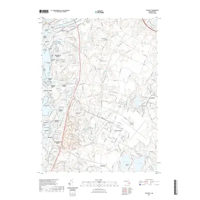
 2023 Cotuit2023 Print · USGSCovers Falmouth, including Mashpee, Osterville, and other nearby areas
 - 2024 Map of Falmouth, 2024 Print
 2024 Falmouth2024 Print · USGSCape Cod's southern shore is captured here in the early twenty-first century, showing the dense network of coastal ponds and historic village centers. Genealogists can trace family names through the Falmouth Old Burying Ground and Oak Grove Cem or explore the protected lands of the Mashpee National Wildlife Refuge.
 - 2024 Map of Sconticut Neck, 2024 Print
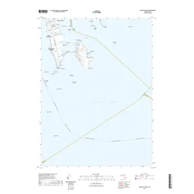
 2024 Sconticut Neck2024 Print · USGSBristol County’s coastal character is on full display in this survey of the Buzzards Bay shoreline. Researchers can trace land use from the Delano Cem at Wilbur Point to the residential streets of Winsegansett Heights.
 - 2024 Map of Onset, 2024 Print
 2024 Onset2024 Print · USGSCoastal life and maritime heritage meet in the villages surrounding Onset Bay in the twenty-first century. Genealogists and local historians can trace family roots through Agawam Cem, the Road Memorial, and old settlements like Barlows Landing and Pocasset.
 - 2024 Map of Pocasset, 2024 Print
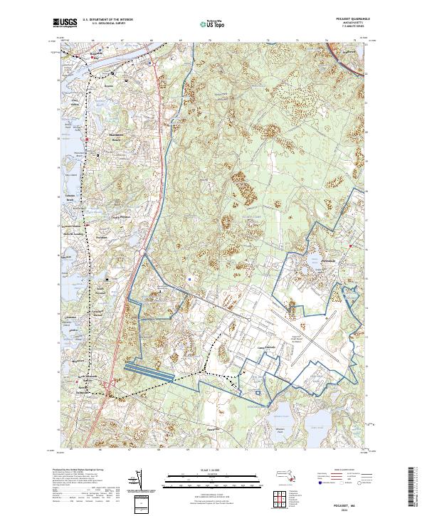 2024 Pocasset2024 Print · USGSCoastal Barnstable County is shown in detail during the early twenty-first century, spanning the entrance of the Cape Cod Canal to the grounds of Camp Edwards. You can trace family history through local landmarks like Old Bourne Cem and the rail-oriented settlements of Pocasset Station and Cataumet Station.
 - 2024 Map of Edgartown, 2024 Print
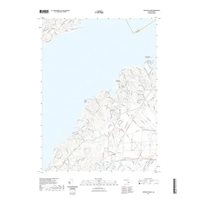
 2024 Edgartown2024 Print · USGSMartha's Vineyard's eastern shores are captured here in the late twenty-teens, from the ferries of Vineyard Haven to the lanes of Edgartown. Genealogists can trace family plots at Sailors Burying Ground or Hebrew Cem, while aviation buffs will find both Trade Wind Airport and the larger island airfield.
 - 2024 Map of Woods Hole, 2024 Print
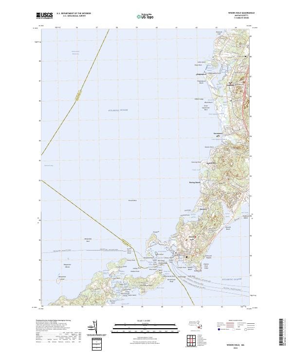 2024 Woods Hole2024 Print · USGSCoastal Massachusetts near the start of the twenty-first century reveals a landscape defined by maritime research and ferry travel. Genealogists and historians can trace routes like the Oak Bluffs - Woods Hole Ferry or locate the Woods Hole Village Cem and Crowell Cem.
 - 2024 Map of Cotuit, 2024 Print
 2024 Cotuit2024 Print · USGSThe Cape Cod coastline near Barnstable is shown here in its modern form, balancing dense conservation lands with established waterfront communities. Genealogists and local historians can trace modern property developments like New Seabury and Maushop Village alongside older landmarks like Pine Tree Corner and South Mashpee.
 - 2024 Map of Vineyard Haven, 2024 Print
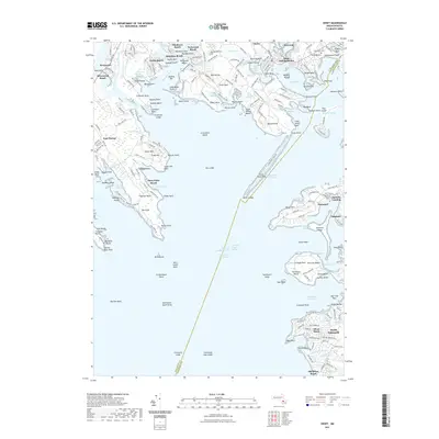
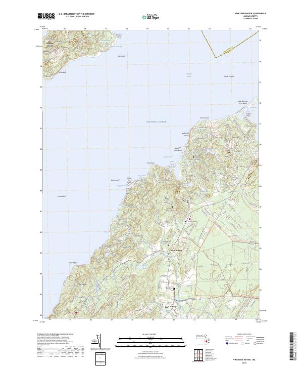 2024 Vineyard Haven2024 Print · USGSMartha's Vineyard and the Elizabeth Islands are captured in this recent survey of the Vineyard Sound region. Genealogists and historians can trace family burial sites like Lamberts Cove Cem and old mill sites near West Tisbury.
End of results
Showing maps 1-19 of 19
Top cities near Falmouth
- Plymouth historical maps
- Wareham historical maps
- Sandwich historical maps
- Bourne historical maps
- Fairhaven historical maps
- Mashpee historical maps
See more
Top neighborhoods of Falmouth
- Old Silver Beach historical maps
- Saconesset Hills historical maps
- Sippewisset historical maps
- Mara Vista historical maps
- Megansett historical maps
- Davisville historical maps
See more
Frequently asked questions
- What are the different types of historical maps available for Falmouth?
- What is the oldest map of Falmouth?
- Where can I purchase historical maps of Falmouth for my home or office?
- Where can I download high-res historical maps of Falmouth?
- Are there historical topographic maps available for Falmouth?
- Is there historical aerial imagery available for Falmouth?
- Where are historical maps of Falmouth sourced from?