2000s (21st Century) Maps of West Bridgewater, Massachusetts
Explore 21 historic maps of West Bridgewater from the 2000s (21st Century). These maps offer a rare glimpse into what life looked like during the 2000s — showing old roads, neighborhoods, homes, and landmarks that have changed or disappeared over time.
Whether you're researching your family's past, planning a metal detecting trip, or studying how West Bridgewater's landscape evolved across the 2000s, these high-resolution maps are a powerful tool for exploring the history of this region.
- Focus on a specific era: All maps on this page are from the 2000s, giving you a focused view of this time period.
- See what’s changed: Compare century-old streets, trails, and buildings to today's modern landscape using overlays and satellite layers.
- Research with precision: Use these maps for genealogy, historical research, land use analysis, or educational projects.
- View, download, or print: Maps are fully viewable online in high resolution, and can be downloaded or printed for your own records.
Start exploring West Bridgewater's history through authentic maps from the 2000s. This is your window into the past.
West Bridgewater, MA maps
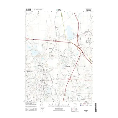
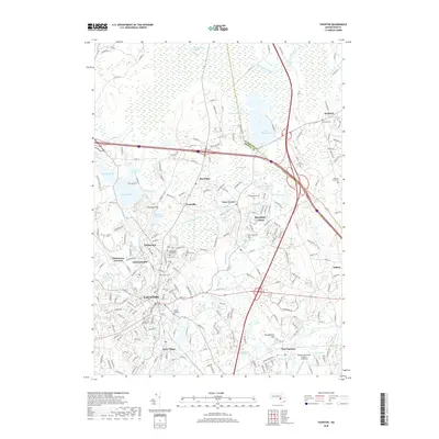
(21)- 2012 Map of Taunton, 2012 Print
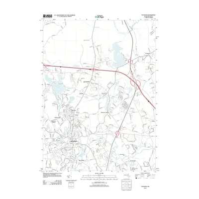 2012 Taunton2012 Print · USGSCovers West Bridgewater, including Taunton, Bridgewater, and other nearby areas
 - 2012 Map of Bridgewater, 2012 Print
 2012 Bridgewater2012 Print · USGSCovers West Bridgewater, including Taunton, Bridgewater, and other nearby areas
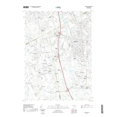
 - 2012 Map of Brockton, 2012 Print
 2012 Brockton2012 Print · USGSCovers West Bridgewater, including Brockton, Stoughton, and other nearby areas
 - 2012 Map of Whitman, 2012 Print
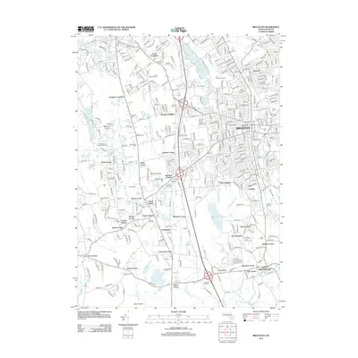
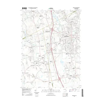
 2012 Whitman2012 Print · USGSCovers West Bridgewater, including Brockton, Bridgewater, and other nearby areas
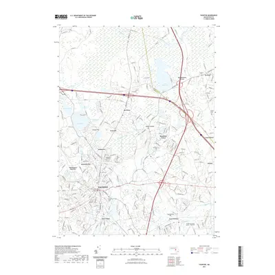
 - 2015 Map of Taunton, 2015 Print
 2015 Taunton2015 Print · USGSCovers West Bridgewater, including Taunton, Bridgewater, and other nearby areas
 - 2015 Map of Bridgewater, 2015 Print
 2015 Bridgewater2015 Print · USGSCovers West Bridgewater, including Taunton, Bridgewater, and other nearby areas
 - 2015 Map of Whitman, 2015 Print
 2015 Whitman2015 Print · USGSCovers West Bridgewater, including Brockton, Bridgewater, and other nearby areas
 - 2015 Map of Brockton, 2015 Print
 2015 Brockton2015 Print · USGSCovers West Bridgewater, including Brockton, Stoughton, and other nearby areas
 - 2018 Map of Bridgewater, 2018 Print
 2018 Bridgewater2018 Print · USGSCovers West Bridgewater, including Taunton, Bridgewater, and other nearby areas
 - 2018 Map of Taunton, 2018 Print
 2018 Taunton2018 Print · USGSCovers West Bridgewater, including Taunton, Bridgewater, and other nearby areas
 - 2018 Map of Whitman, 2018 Print
 2018 Whitman2018 Print · USGSCovers West Bridgewater, including Brockton, Bridgewater, and other nearby areas
 - 2018 Map of Brockton, 2018 Print
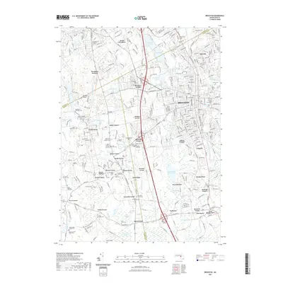
 2018 Brockton2018 Print · USGSCovers West Bridgewater, including Brockton, Stoughton, and other nearby areas
 - 2021 Map of Brockton, 2021 Print
 2021 Brockton2021 Print · USGSCovers West Bridgewater, including Brockton, Stoughton, and other nearby areas
 - 2021 Map of Taunton, 2021 Print
 2021 Taunton2021 Print · USGSCovers West Bridgewater, including Taunton, Bridgewater, and other nearby areas
 - 2021 Map of Whitman, 2021 Print
 2021 Whitman2021 Print · USGSCovers West Bridgewater, including Brockton, Bridgewater, and other nearby areas
 - 2021 Map of Bridgewater, 2021 Print
 2021 Bridgewater2021 Print · USGSCovers West Bridgewater, including Taunton, Bridgewater, and other nearby areas
 - 2023 Map of Taunton, 2023 Print
 2023 Taunton2023 Print · USGSCovers West Bridgewater, including Taunton, Bridgewater, and other nearby areas
 - 2024 Map of Whitman, 2024 Print
 2024 Whitman2024 Print · USGSPlymouth County's interior settlements come into sharp focus in this contemporary survey of the rail and river corridors. Genealogists can trace family legacies at the Small Pox House Cem Site, Torrey Family Burying Ground, and the Old Graveyard.
 - 2024 Map of Brockton, 2024 Print
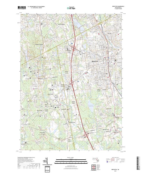 2024 Brockton2024 Print · USGSBrockton and the surrounding townships in the 2020s reveal a landscape deeply layered with local history and institutional growth. Researchers can trace dozens of colonial-era burial sites and local landmarks, from Stonehill College and Melrose Cem to the storied Washington Street Cem.
 - 2024 Map of Bridgewater, 2024 Print
 2024 Bridgewater2024 Print · USGSSoutheastern Massachusetts at the start of the 2020s reveals a landscape where colonial-era burial grounds and modern institutional growth meet. Genealogists can trace family lines across the King Burying Ground Cem or the Nemasket Hill Cem while following the historic Old Colony RR through Middleboro.
 - 2024 Map of Taunton, 2024 Print
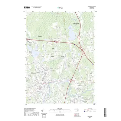
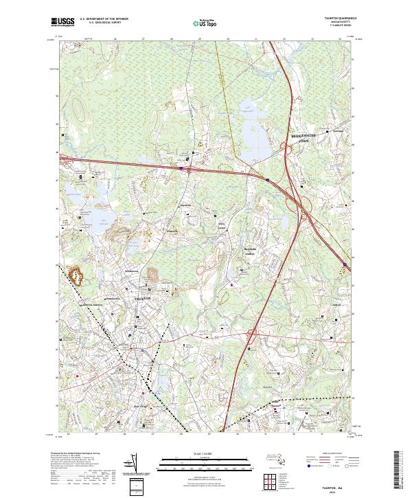 2024 Taunton2024 Print · USGSTaunton and Raynham are shown here during the early twenty-first century, showcasing a landscape where urban centers meet massive wetlands. Researchers can trace dozens of burial grounds like Colored Cem and Father Wilson Cem or locate the Bristol County Superior Court House.
End of results
Showing maps 1-21 of 21
Top cities near West Bridgewater
- Boston historical maps
- Brockton historical maps
- Quincy historical maps
- Taunton historical maps
- Weymouth historical maps
- Attleboro historical maps
See more
Top neighborhoods of West Bridgewater
- Bennetts Corner historical maps
- Brooks Place historical maps
- Cochesett historical maps
- Elm Square historical maps
- West Meadow historical maps
- Matfield historical maps
See more
Frequently asked questions
- What are the different types of historical maps available for West Bridgewater?
- What is the oldest map of West Bridgewater?
- Where can I purchase historical maps of West Bridgewater for my home or office?
- Where can I download high-res historical maps of West Bridgewater?
- Are there historical topographic maps available for West Bridgewater?
- Is there historical aerial imagery available for West Bridgewater?
- Where are historical maps of West Bridgewater sourced from?