2010s Maps of Hawes Township, Michigan
Explore 24 historic maps of Hawes Township from the 2010s. These maps offer a rare glimpse into what life looked like during the 2010s — showing old roads, neighborhoods, homes, and landmarks that have changed or disappeared over time.
Whether you're researching your family's past, planning a metal detecting trip, or studying how Hawes Township's landscape evolved across the 2010s, these high-resolution maps are a powerful tool for exploring the history of this region.
- Focus on a specific era: All maps on this page are from the 2010s, giving you a focused view of this time period.
- See what’s changed: Compare century-old streets, trails, and buildings to today's modern landscape using overlays and satellite layers.
- Research with precision: Use these maps for genealogy, historical research, land use analysis, or educational projects.
- View, download, or print: Maps are fully viewable online in high resolution, and can be downloaded or printed for your own records.
Start exploring Hawes Township's history through authentic maps from the 2010s. This is your window into the past.
Hawes Township, MI maps
(24)- 2011 Map of Hubbard Lake, 2011 Print
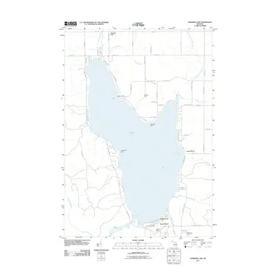 2011 Hubbard Lake2011 Print · USGSHubbard Lake and its surrounding resort communities are captured here in the early twenty-first century. Genealogists and researchers can trace local landmarks like Larson Beach, the Mount Maria Ski Area, and Sucker Creek.
 - 2012 Map of Bucks Pond, 2012 Print
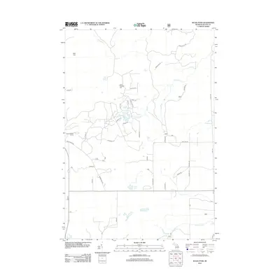 2012 Bucks Pond2012 Print · USGSAlcona County's interior woodlands are shown in the early 2010s, revealing a terrain shaped by glacial kettle lakes and marshlands. Researchers can trace the network of forest tracks around Bucks Pond or locate the remote Circle T Ranch Airport near the Kelly Hills.
 - 2012 Map of Lincoln, 2012 Print
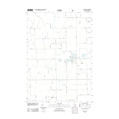 2012 Lincoln2012 Print · USGSAlcona County's lake country is captured here during the early twenty-first century, centered on the village of Lincoln. Genealogists and local historians can trace the rural landscape near Killmaster and locate landmarks like the Twin Lake Cem or the Alcona County Fairgrounds.
 - 2012 Map of Barton City, 2012 Print
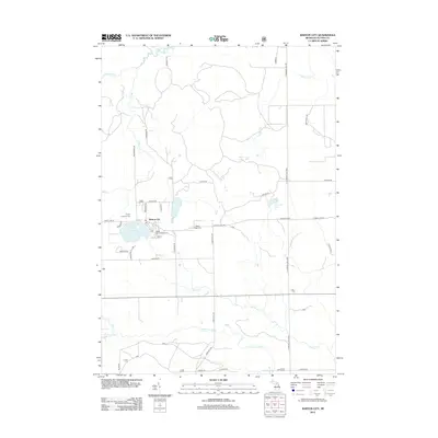 2012 Barton City2012 Print · USGSBarton City and the surrounding Alcona County countryside are shown here as they appeared in the early twenty-first century. Genealogists and local historians can trace the settlement center around the PO and the paths of local waterways like Comstock Cr and Buff Cr.
 - 2012 Map of Hubbard Lake SW, 2012 Print
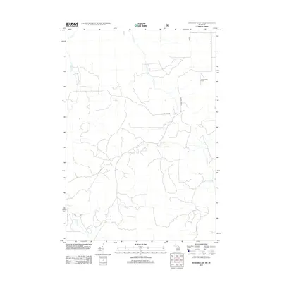 2012 Hubbard Lake SW2012 Print · USGSAlpena County’s interior landscape is shown here in the early twenty-first century, a region defined by its dense creek networks and rural ranch roads. Researchers can trace family-named landmarks like Vlachos Acres Airport or map the paths of Widner Cr and W Fruchey Ranch Rd.
 - 2012 Map of Spruce, 2012 Print
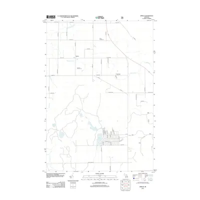 2012 Spruce2012 Print · USGSAlcona County's rural character is on full display in the early 2010s, centered on the small crossroads of Spruce. Researchers can trace family history at the Caledonia Township Cem or explore the recreational lakefronts of Badger Lake and Bear Lake.
 - 2014 Map of Barton City, 2014 Print
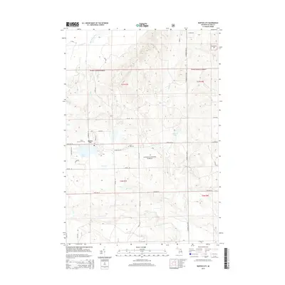 2014 Barton City2014 Print · USGSAlcona County's lake country is captured here during the early twenty-first century, centered on the community of Barton City. Genealogists and local historians can locate Trinity Lutheran Cem, Maple Ridge Cem, and the various forest roads surrounding Jewell Lake.
 - 2014 Map of Lincoln, 2014 Print
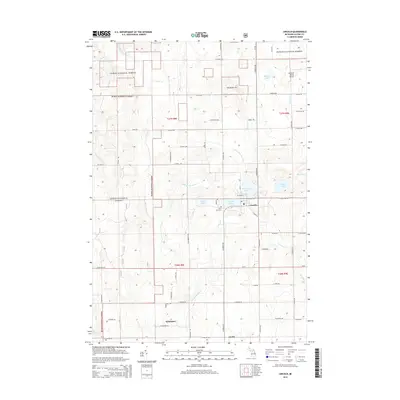 2014 Lincoln2014 Print · USGSAlcona County's lake-rich woodlands appear in detail during this 2014 survey of the northeastern Michigan forest country. Researchers can trace local landmarks like the Twin Lake Cemetery and the settlement of Killmaster near the East Branch Pine River.
 - 2014 Map of Bucks Pond, 2014 Print
 2014 Bucks Pond2014 Print · USGSMitchell Township in Alcona County is shown here during the early twenty-first century, revealing a landscape of protected timberlands and glacial lakes. Researchers can trace the drainage of Wildcat Cr or locate secluded landmarks like Lake in the Green and Chin-Whisker Hill.
 - 2014 Map of Spruce, 2014 Print
 2014 Spruce2014 Print · USGSAlcona County's transition from agricultural crossroads to recreational forest is captured here in the early twenty-first century. Researchers can trace family sites at Caledonia Township Cem or explore the development around Lost Lake Woods and Spruce.
 - 2014 Map of Hubbard Lake SW, 2014 Print
 2014 Hubbard Lake SW2014 Print · USGSOssineke Township and the northern edge of the Huron National Forest are shown here during the early 2010s. Local researchers can trace family-named routes like Fruchey Ranch Rd and follow the paths of Wolf Cr and Little North Creek.
 - 2014 Map of Hubbard Lake, 2014 Print
 2014 Hubbard Lake2014 Print · USGSHubbard Lake and its surrounding settlements are captured here in the early twenty-first century as the shoreline and surrounding hillsides continued to develop. Researchers can identify specific family-named sites and landings like Flowers Grave, Larson Beach, and Doctors Point.
 - 2017 Map of Bucks Pond, 2017 Print
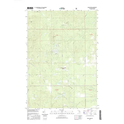 2017 Bucks Pond2017 Print · USGSWithin the Huron National Forest during the late 2010s, this area reveals a landscape shaped by glacial topography and early logging history. Researchers can trace the Reid, 12-10 Railroad Grade or explore the wetlands of Fannys Marsh and Mossy Bog.
 - 2017 Map of Lincoln, 2017 Print
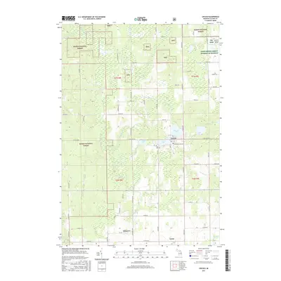 2017 Lincoln2017 Print · USGSAlcona County's lake country and national forest lands are captured here in the late twenty-teens. Genealogists and local historians can trace the rural landscape around Lincoln, locate Twin Lake Cem, and find the small settlement of Killmaster.
 - 2017 Map of Spruce, 2017 Print
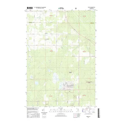 2017 Spruce2017 Print · USGSThe rural landscapes of Alcona and Alpena counties are captured here in the late 2010s. Researchers can locate the Caledonia Township Cem and trace the many waterways including S Br Devils River and Badger Lake.
 - 2017 Map of Hubbard Lake SW, 2017 Print
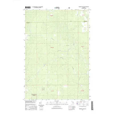 2017 Hubbard Lake SW2017 Print · USGSThe Alpena and Alcona county line intersects this forest landscape during a period of modern conservation and timber management. Genealogists and historians can trace the paths of Fruhey Ranch Rd and Hubbard Lake Trl through the Huron National Forest.
 - 2017 Map of Hubbard Lake, 2017 Print
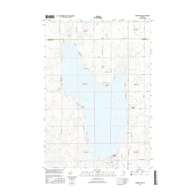 2017 Hubbard Lake2017 Print · USGSHubbard Lake's expansive shoreline is captured here in the early twenty-first century, showing the established communities and topography of the Alpena and Alcona county line. Trace local landmarks like Flowers Grave and the lakeside developments at Larson Beach or Mt Maria.
 - 2017 Map of Barton City, 2017 Print
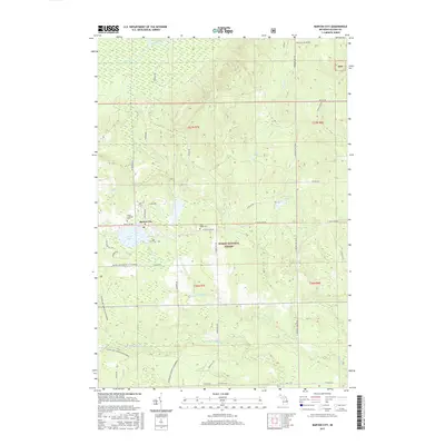 2017 Barton City2017 Print · USGSBarton City and the western reaches of the Huron National Forest are captured here in the late 2010s. Researchers can trace local lineage at Trinity Lutheran Cem or explore the drainage of Jewell Lake and the West Branch River.
 - 2019 Map of Barton City, 2019 Print
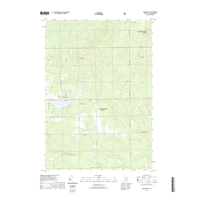 2019 Barton City2019 Print · USGSBarton City and the surrounding Alcona County forests are captured here during the late 2010s. Genealogists and local historians can locate family sites at Trinity Lutheran Cem or Maple Ridge Cem, and trace waterways like Jewell Lake and the West Branch River.
 - 2019 Map of Hubbard Lake SW, 2019 Print
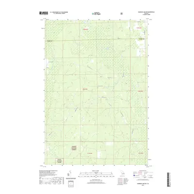 2019 Hubbard Lake SW2019 Print · USGSAlpena and Alcona counties are shown in this recent survey of Northern Michigan’s wooded interior. Trace the complex wetland systems of Smokey Hollow Swamp and the forest tracks of Hubbard Lake Trl and Fruhey Ranch Rd.
 - 2019 Map of Spruce, 2019 Print
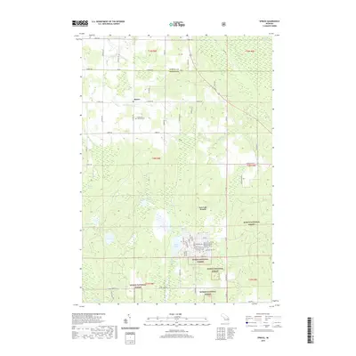 2019 Spruce2019 Print · USGSNortheast Michigan's interior woodlands are captured here during the late twenty-tens, showing the quiet settlement of Spruce and the surrounding county line. Genealogists can locate Caledonia Township Cem while outdoorsmen trace the wetlands of Ludwig Swamp and Badger Lake.
 - 2019 Map of Bucks Pond, 2019 Print
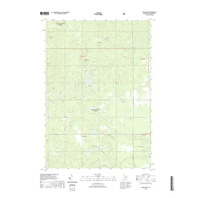 2019 Bucks Pond2019 Print · USGSMitchell Township and the Huron National Forest are seen here in the late 2010s, showing a landscape defined by protected woodlands and glacial lakes. Outdoor enthusiasts and researchers can trace the Reid Lake Trails and locate secluded water bodies like Lake in the Green and Trout Lake.
 - 2019 Map of Hubbard Lake, 2019 Print
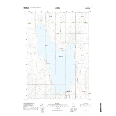 2019 Hubbard Lake2019 Print · USGSHubbard Lake and its surrounding settlements are shown in detail as they appeared in the early twenty-first century. Genealogists and local researchers can trace the shoreline developments of Larson Beach and Backus Beach or locate the solitary Flowers Grave at the northern boundary.
 - 2019 Map of Lincoln, 2019 Print
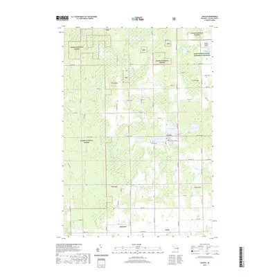 2019 Lincoln2019 Print · USGSAlcona County's lake-dotted interior is captured here in the late twenty-tens, centered on the village of Lincoln and the surrounding woodlands. Researchers can trace rural cemetery locations like Twin Lake Cem or local airstrips such as Milwrick Flying M Airport.
End of results
Showing maps 1-24 of 24
Top cities near Hawes Township
- Ossineke historical maps
- Greenbush historical maps
- Mikado historical maps
- Gustin historical maps
- Harrisville historical maps
- Lincoln historical maps
See more
Top neighborhoods of Hawes Township
Frequently asked questions
- What are the different types of historical maps available for Hawes Township?
- What is the oldest map of Hawes Township?
- Where can I purchase historical maps of Hawes Township for my home or office?
- Where can I download high-res historical maps of Hawes Township?
- Are there historical topographic maps available for Hawes Township?
- Is there historical aerial imagery available for Hawes Township?
- Where are historical maps of Hawes Township sourced from?