Old Maps of Maple Ridge Township, Michigan for Academic Research
Study the evolution of Maple Ridge Township with 29 high-resolution historic maps. Whether you're teaching, researching, or modeling changes in land use, these maps provide essential visual documentation of urban, environmental, and geographic change.
- Analyze long-term change: Track patterns in development, transportation, and natural features.
- Ideal for environmental or urban studies: Support academic projects with primary historical map data.
- Use in the classroom or lab: Educators and researchers rely on these maps to bring historical context to life.
These maps are a powerful tool for teaching, research, and visualizing how Maple Ridge Township has changed over the decades.
Maple Ridge Township, MI maps
(29)- 1954 Map of Alpena, 1978 Print
 1954 Alpena1978 Print · USGSThe northern waters of Lake Huron meet the Ontario islands during the mid-1950s, a time of active coastal shipping and timber management. Genealogists and historians can trace the Detroit and Mackinac rail line through Alpena or locate rural landmarks like St. Catharine Ch and Forty Mile Point.2 unique versions available
 - 1957 Map of Alpena
 1957 Alpena1957 Print · USGSNortheast Michigan and the islands of the North Channel are captured in the mid-1950s, showing the vital maritime and rail connections of the region. Researchers can trace the path of the Detroit and Mackinac RR or locate small settlements like Meldrum Bay and Lachine.
 - 1958 Map of Alpena
 1958 Alpena1958 Print · USGSThe northern reaches of Lake Huron and the Ontario islands are mapped here in the late fifties. You can trace the Detroit and Mackinac RR through Rogers City or locate remote outposts like Meldrum Bay and St. Vital church.
 - 1969 Map of Alpena
 1969 Alpena1969 Print · USGSThe Lake Huron coastline and the Manitoulin islands come alive in this mid-century survey of the Michigan-Ontario border. Genealogists and historians can trace the Detroit and Mackinac rail line through settlements like Lachine and Cathro, or locate the numerous island reservations including Obigewong Indian Reservation No 21.
 - 1971 Map of Lake Winyah, 1974 Print
 1971 Lake Winyah1974 Print · USGSAlpena County and the Thunder Bay River valley are shown in the early seventies during a period of steady industrial and aviation growth. Researchers can trace the Detroit and Mackinac Railroad through Paxton or locate family sites near Wilson Cem and Kerston Station.2 unique versions available
 - 1971 Map of Long Lake West, 1974 Print
 1971 Long Lake West1974 Print · USGSNorthern Michigan's forest and lakeland life are captured here in the early seventies, spanning the line between Presque Isle and Alpena. Trace family roots and local history near Cathro, Pilgrims Rest Cem, and the Maple Ridge Sch.
 - 1971 Map of Polaski, 1974 Print
 1971 Polaski1974 Print · USGSAlpena and Presque Isle counties are captured in the early seventies, showing a landscape defined by state forest land and the Detroit and Mackinac Railroad. Local historians can trace family-named roads and rural church sites like St Pauls Ch, Leer Ch, and the settlement of Long Rapids.
 - 1971 Map of Lachine, 1974 Print
 1971 Lachine1974 Print · USGSAlpena County at the start of the seventies shows a rural landscape shaped by the Thunder Bay River and early rail corridors. Researchers can locate the Green Sch, trace the Old Railroad Grade, and find small hubs like Lachine and Spratt.
 - 1984 Map of Alpena
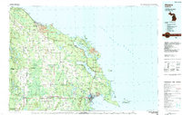 1984 Alpena1984 Print · USGSThe Lake Huron shoreline in the 1980s reveals a region defined by maritime industry, timberlands, and vast inland waters. Genealogists and historians can trace the Detroit and Mackinac Railroad past old settlements like Posen, Hagensville, and the harbor at Rockport.
 - 2011 Map of Polaski, 2011 Print
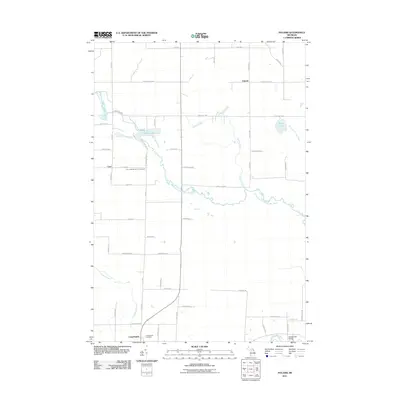 2011 Polaski2011 Print · USGSAlpena County maintains its quiet rural character at the start of the twenty-first century, centered on river valleys and small farming communities. Genealogists can trace family footprints at Leer Lutheran Church Cemetery, Long Rapids, and the historic Orchard Hill Bridge.
 - 2011 Map of Lachine, 2011 Print
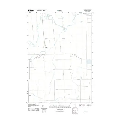 2011 Lachine2011 Print · USGSAlpena County’s rural interior is captured here as it appeared in the early 21st century, centered on the Thunder Bay River valley. Researchers can pinpoint specific local landmarks including the Lachine Post Office, Green Cemetery, and Emerson Station.
 - 2011 Map of Long Lake West, 2011 Print
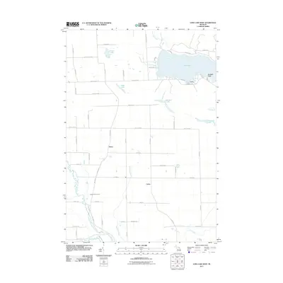 2011 Long Lake West2011 Print · USGSPresque Isle County comes into focus in this early twenty-first-century survey of the lake country around Alpena. Genealogists and local historians can trace the family-named road networks connecting Bolton and Cathro or locate the Pilgrims Rest Cemetery near the North Branch Thunder Bay River.
 - 2011 Map of Lake Winyah, 2011 Print
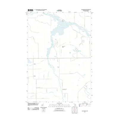 2011 Lake Winyah2011 Print · USGSAlpena County’s water-rich landscape is captured here in the early twenty-first century, centered on the Lake Winyah reservoir and its surrounding river systems. Genealogists and historians can trace local landmarks like Wilson Cemetery and the rural settlements of Paxton and McHarg.
 - 2014 Map of Lachine, 2014 Print
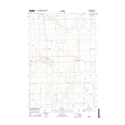 2014 Lachine2014 Print · USGSAlpena County as it appeared in the early 21st century remains a landscape of small crossroads settlements and river valleys. Genealogists and local historians can trace family locations near Long Rapids, Herron, and Green Cem or explore the hills around Manning Hill.
 - 2014 Map of Polaski, 2014 Print
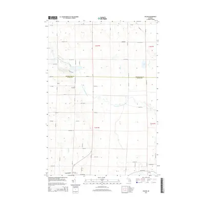 2014 Polaski2014 Print · USGSThe rural border of Alpena and Presque Isle counties comes into focus in this modern survey of Northeast Michigan. Researchers can locate family sites near Leer Lutheran Church Cem, the settlement of Long Rapids, and the waters of Sunken Lake and Duck Lake.
 - 2014 Map of Lake Winyah, 2014 Print
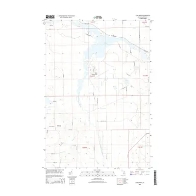 2014 Lake Winyah2014 Print · USGSAlpena County as it appeared in the early 2010s reveals a landscape defined by the winding Thunder Bay River and its rural townships. Researchers can trace local history through the Wilson Cem and small settlements like Paxton or McHarg west of the airport.
 - 2014 Map of Long Lake West, 2014 Print
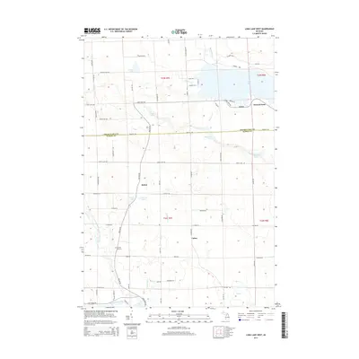 2014 Long Lake West2014 Print · USGSPresque Isle and Alpena Counties are shown in the early 2010s, where the Thunder Bay River watershed meets several large inland lakes. Researchers can locate the Pilgrims Rest Cemetery and trace the small settlements at Bolton, Cathro, and Leroy.
 - 2017 Map of Polaski, 2017 Print
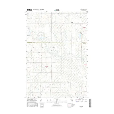 2017 Polaski2017 Print · USGSThe rural borderlands of Alpena and Presque Isle counties are captured here in the late twenty-tens. Genealogists and local historians can locate the Leer Lutheran Church Cem, the hamlet of Polaski, and the course of the North Branch Thunder Bay River.
 - 2017 Map of Lachine, 2017 Print
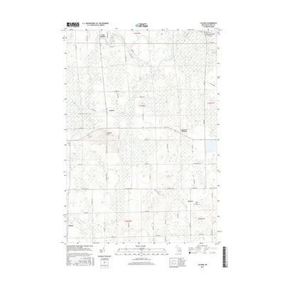 2017 Lachine2017 Print · USGSAlpena County's agricultural heartland is documented here in the early twenty-first century, showing the transition of old rail corridors into public paths. Researchers can locate family sites near Long Rapids or trace the Hillman-Alpena State Trail past Lachine and Emerson Station.
 - 2017 Map of Lake Winyah, 2017 Print
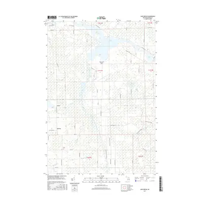 2017 Lake Winyah2017 Print · USGSAlpena County as it appeared in the late 2010s reveals a landscape defined by the winding Thunder Bay River and its reservoir, Lake Winyah. Researchers can trace the rural communities of Paxton and McHarg alongside the historic Wilson Cem and the Norway Ridge Pathway.
 - 2017 Map of Long Lake West, 2017 Print
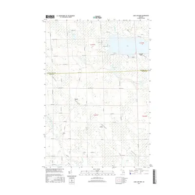 2017 Long Lake West2017 Print · USGSPresque Isle and Alpena Counties are shown in this modern survey of the lake-strewn Michigan countryside. Genealogists can locate family landmarks like Pilgrims Rest Cem and trace old routes through Bolton, Cathro, and along Long Lake.
 - 2019 Map of Polaski, 2019 Print
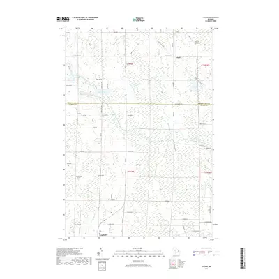 2019 Polaski2019 Print · USGSNortheast Michigan's rural borderlands are captured here in the late 2010s, showing the enduring agricultural settlements of Alpena and Presque Isle counties. Genealogists can trace family footprints at Saint Paul's Lutheran Church Cem, Leer, and the banks of the North Branch Thunder Bay River.
 - 2019 Map of Lake Winyah, 2019 Print
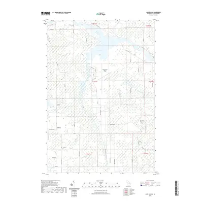 2019 Lake Winyah2019 Print · USGSAlpena County is shown in recent detail as the Thunder Bay River systems converge at Lake Winyah. Genealogists and local historians can locate the Wilson Cem and trace old township roads like King Settlement Rd near the settlements of Paxton and McHarg.
 - 2019 Map of Lachine, 2019 Print
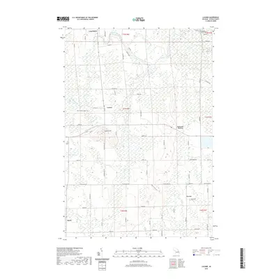 2019 Lachine2019 Print · USGSAlpena County as it appeared in the late 2010s shows a quiet landscape of rural townships and winding river bends. Trace local history through family-named sites and landmarks like Manning Hill, Herron Saint Rose's Cem, and the old rail corridor of the Hillman-Alpena State Trail.
 - 2019 Map of Long Lake West, 2019 Print
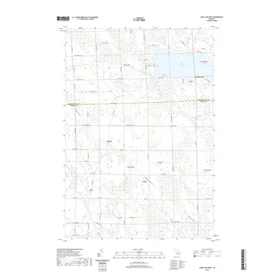 2019 Long Lake West2019 Print · USGSPresque Isle and Alpena counties are captured here in the late twenty-teens, showing the rural settlements and lake country north of Thunder Bay. Researchers can locate Pilgrims Rest Cem, follow the N Eastern State Trail, and trace the shoreline at Leroy and Orchard Point.
Showing maps 1-25 of 29
Top cities near Maple Ridge Township
Top neighborhoods of Maple Ridge Township
Frequently asked questions
- What are the different types of historical maps available for Maple Ridge Township?
- What is the oldest map of Maple Ridge Township?
- Where can I purchase historical maps of Maple Ridge Township for my home or office?
- Where can I download high-res historical maps of Maple Ridge Township?
- Are there historical topographic maps available for Maple Ridge Township?
- Is there historical aerial imagery available for Maple Ridge Township?
- Where are historical maps of Maple Ridge Township sourced from?