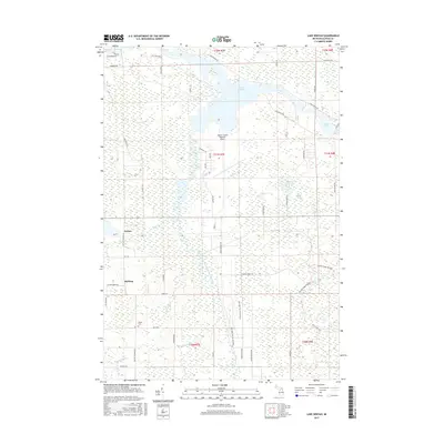
2017 Map of Lake Winyah
USGS Topo · Published 2017About this map
The Thunder Bay River and its expansive Lake Winyah reservoir dominate this Alpena County landscape, where the water's path is shaped by the South Branch Thunder Bay River and numerous smaller tributaries like McClary Cr and King Cr. This 2017 survey shows a mix of rural infrastructure and recreational geography, notably the winding Norway Ridge Pathway and the Alpena County Regional Airport. Small clusters of settlement are found at Paxton and McHarg, providing touchpoints for local historians and genealogists tracking the development of Wilson Township.
Find a feature on this map
60 named features on this map. Tap any name to fly to it.
Don’t see what you’re looking for? This feature index may not catch every label — zoom into the map to look around manually.
Map Details
Editions of this 2017 Lake Winyah Map
This is the sole edition of this map. No revisions or reprints were ever made.
Other maps of this area

1954 · Tawas City
USGS Topo · 1:250,000

1954 · Alpena
USGS Topo · 1:250,000

1957 · Alpena
USGS Topo · 1:250,000

1958 · Alpena
USGS Topo · 1:250,000

1958 · Tawas City
USGS Topo · 1:250,000

1969 · Alpena
USGS Topo · 1:250,000

1971 · Lake Winyah
USGS Topo · 1:24,000

1971 · Long Lake West
USGS Topo · 1:24,000

1971 · Alpena
USGS Topo · 1:24,000

1971 · Polaski
USGS Topo · 1:24,000