Old Maps of Sanborn Township, Michigan for Academic Research
Study the evolution of Sanborn Township with 39 high-resolution historic maps. Whether you're teaching, researching, or modeling changes in land use, these maps provide essential visual documentation of urban, environmental, and geographic change.
- Analyze long-term change: Track patterns in development, transportation, and natural features.
- Ideal for environmental or urban studies: Support academic projects with primary historical map data.
- Use in the classroom or lab: Educators and researchers rely on these maps to bring historical context to life.
These maps are a powerful tool for teaching, research, and visualizing how Sanborn Township has changed over the decades.
Sanborn Township, MI maps
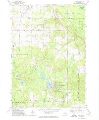
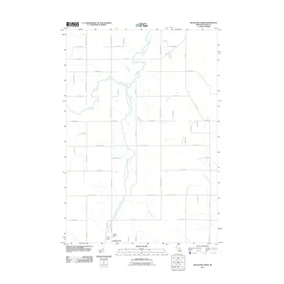
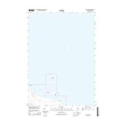
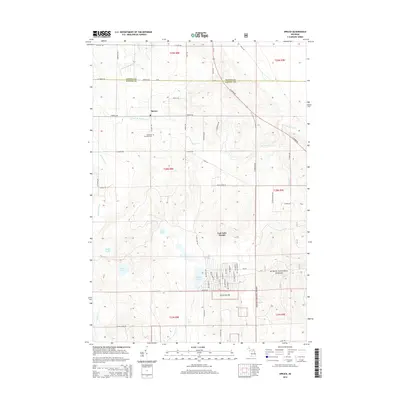
(39)- 1954 Map of Tawas City, 1968 Print
 1954 Tawas City1968 Print · USGSCoastal life along Lake Huron was defined by a mix of military aviation and hydroelectric power in the mid-fifties. Researchers can trace the river dams like Cooke Dam, the layout of Wurtsmith AFB, and the coastal mining operations at Alabaster.4 unique versions available
 - 1958 Map of Tawas City
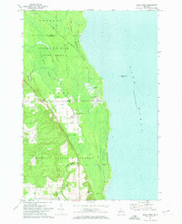
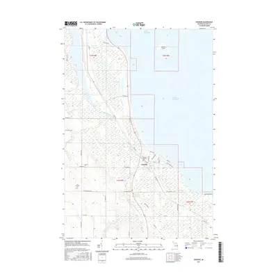
 1958 Tawas City1958 Print · USGSThe Lake Huron shoreline and northern Michigan timberlands come into focus in the late fifties, during the expansion of the Cold War. Genealogists and historians can trace rail lines like the Detroit and Mackinac, find regional landmarks like the Lumbermans Memorial Monument, and locate coastal facilities including Wurtsmith AFB.2 unique versions available
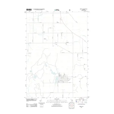
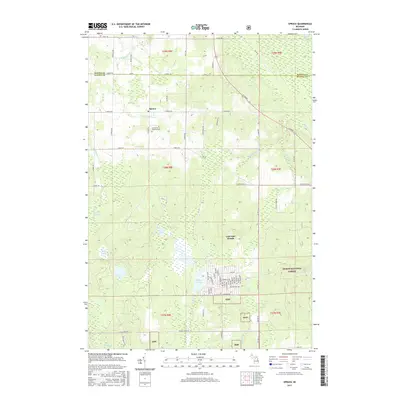
 - 1971 Map of Spruce, 1974 Print
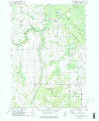
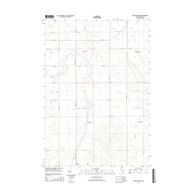
 1971 Spruce1974 Print · USGSAlcona County's transition from timber production to a forested recreational landscape is clear in this early 1970s survey. Genealogists and local historians can trace family roots near Spruce and Township Cem, or follow the Old Railroad Grade past Badger Lake.2 unique versions available
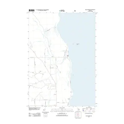
 - 1971 Map of Black River, 1974 Print
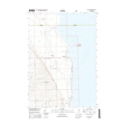
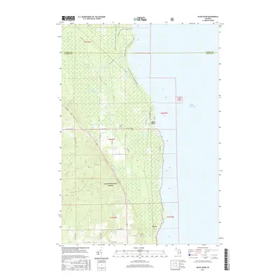
 1971 Black River1974 Print · USGSThe Alcona County coastline comes alive in the early 1970s, showcasing the intersection of the Detroit and Mackinac railroad and the Lake Huron shore. Researchers can trace the layout of the Black River settlement, locating family landmarks like the Black River Sch and Calvary Cem.
 - 1971 Map of South Point, 1974 Print
 1971 South Point1974 Print · USGSThe Alpena coastline and Lake Huron shoreline are captured here in the early 1970s. Trace local conservation boundaries and coastal geography from Scarecrow Island to the Thunder Bay River State Forest.
 - 1971 Map of Ossineke, 1974 Print
 1971 Ossineke1974 Print · USGSCoastal Alpena County in the early seventies shows the intersection of the Lake Huron shoreline with the interior timber and rail economy. Researchers can trace family sites like the German Cem, the Detroit and Mackinac rail corridor, and the St Catherine Ch.2 unique versions available
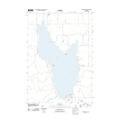
 - 1972 Map of Hubbard Lake
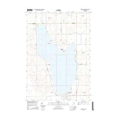
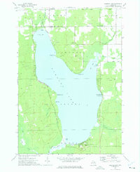 1972 Hubbard Lake1972 Print · USGSHubbard Lake's expansive shoreline is mapped here in the early seventies, detailing the transition from rural Alcona and Alpena counties to a lakeside community. Researchers can locate local landmarks like the Caledonia Sch, the slopes of Mt Maria, and the docks at Larson Beach.2 unique versions available
 - 1972 Map of Big Ravine Creek, 1975 Print
 1972 Big Ravine Creek1975 Print · USGSAlpena County's forested river valleys and the northern shores of Hubbard Lake are captured here in the early seventies. Local historians can trace the foundations of the community through rural landmarks like the Township Sch, Community Ch, and the high ground of Nicholson Hill.2 unique versions available
 - 1983 Map of Hubbard Lake, 1984 Print
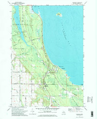
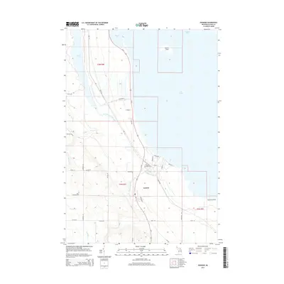
 1983 Hubbard Lake1984 Print · USGSThe shorelines of Alcona and Alpena Counties come to life in this early 1980s overview of the Lake Huron coast and its deep timberlands. Researchers can trace historic rail routes like the Detroit and Mackinac or locate quiet inland hubs such as Barton City and Killmaster.
 - 2011 Map of Ossineke, 2011 Print
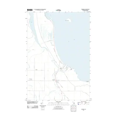 2011 Ossineke2011 Print · USGSCovers Sanborn Township, including Ossineke, Alpena Township, and other nearby areas
 - 2011 Map of South Point, 2011 Print
 2011 South Point2011 Print · USGSCovers Sanborn Township, including Alpena County, United States, and other nearby areas
 - 2011 Map of Big Ravine Creek, 2011 Print
 2011 Big Ravine Creek2011 Print · USGSCovers Sanborn Township, including Ossineke Township, Wilson Township, and other nearby areas
 - 2011 Map of Hubbard Lake, 2011 Print
 2011 Hubbard Lake2011 Print · USGSCovers Sanborn Township, including Ossineke Township, Hubbard Lake, and other nearby areas
 - 2012 Map of Spruce, 2012 Print
 2012 Spruce2012 Print · USGSCovers Sanborn Township, including Lost Lake Woods, Caledonia Township, and other nearby areas
 - 2012 Map of Black River, 2012 Print
 2012 Black River2012 Print · USGSCovers Sanborn Township, including Alcona, Black River, and other nearby areas
 - 2014 Map of South Point, 2014 Print
 2014 South Point2014 Print · USGSCovers Sanborn Township, including Alpena County, United States, and other nearby areas
 - 2014 Map of Big Ravine Creek, 2014 Print
 2014 Big Ravine Creek2014 Print · USGSCovers Sanborn Township, including Ossineke Township, Wilson Township, and other nearby areas
 - 2014 Map of Black River, 2014 Print
 2014 Black River2014 Print · USGSCovers Sanborn Township, including Alcona, Black River, and other nearby areas
 - 2014 Map of Ossineke, 2014 Print
 2014 Ossineke2014 Print · USGSCovers Sanborn Township, including Ossineke, Alpena Township, and other nearby areas
 - 2014 Map of Spruce, 2014 Print
 2014 Spruce2014 Print · USGSCovers Sanborn Township, including Lost Lake Woods, Caledonia Township, and other nearby areas
 - 2014 Map of Hubbard Lake, 2014 Print
 2014 Hubbard Lake2014 Print · USGSCovers Sanborn Township, including Ossineke Township, Hubbard Lake, and other nearby areas
 - 2017 Map of South Point, 2017 Print
 2017 South Point2017 Print · USGSCovers Sanborn Township, including Alpena County, United States, and other nearby areas
 - 2017 Map of Ossineke, 2017 Print
 2017 Ossineke2017 Print · USGSCovers Sanborn Township, including Ossineke, Alpena Township, and other nearby areas
 - 2017 Map of Black River, 2017 Print
 2017 Black River2017 Print · USGSCovers Sanborn Township, including Alcona, Black River, and other nearby areas
 - 2017 Map of Spruce, 2017 Print
 2017 Spruce2017 Print · USGSCovers Sanborn Township, including Lost Lake Woods, Caledonia Township, and other nearby areas
Showing maps 1-25 of 39
Top cities near Sanborn Township
- Alpena historical maps
- Ossineke historical maps
- Alcona historical maps
- Lincoln historical maps
- Lost Lake Woods historical maps
Top neighborhoods of Sanborn Township
Frequently asked questions
- What are the different types of historical maps available for Sanborn Township?
- What is the oldest map of Sanborn Township?
- Where can I purchase historical maps of Sanborn Township for my home or office?
- Where can I download high-res historical maps of Sanborn Township?
- Are there historical topographic maps available for Sanborn Township?
- Is there historical aerial imagery available for Sanborn Township?
- Where are historical maps of Sanborn Township sourced from?