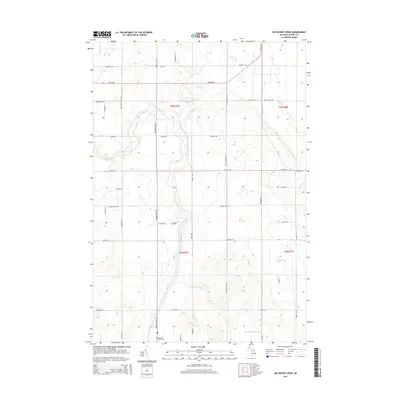
2014 Map of Big Ravine Creek
USGS Topo · Published 2014About this map
The Lower South Branch Thunder Bay River meanders northward through this Alpena County landscape, joined by numerous tributaries that define the local topography. This 2014 survey captures a rural Michigan township characterized by a dense grid of section roads bearing local family names such as Kowalski Rd, Brilinski Rd, and Beaudoin Rd. These corridors link the sparse residential clusters and agricultural tracts that occupy the higher ground between the river's drainage basins. For genealogists and local historians, the Hubbard Lake Cem at the southern edge of the sheet serves as a primary point of interest. The network of waterways including Big Ravine Creek and Wolf Creek highlights the area's hydrology, while the intersection of Hubbard Lake Rd and Werth Rd marks a central point for navigating this northern interior terrain.
Find a feature on this map
53 named features on this map. Tap any name to fly to it.
Don’t see what you’re looking for? This feature index may not catch every label — zoom into the map to look around manually.
Map Details
Editions of this 2014 Big Ravine Creek Map
This is the sole edition of this map. No revisions or reprints were ever made.
Other maps of this area

1954 · Tawas City
USGS Topo · 1:250,000

1954 · Alpena
USGS Topo · 1:250,000

1957 · Alpena
USGS Topo · 1:250,000

1958 · Alpena
USGS Topo · 1:250,000

1958 · Tawas City
USGS Topo · 1:250,000

1969 · Alpena
USGS Topo · 1:250,000

1971 · Lake Winyah
USGS Topo · 1:24,000

1971 · Alpena
USGS Topo · 1:24,000

1971 · Spruce
USGS Topo · 1:24,000

1971 · Lachine
USGS Topo · 1:24,000