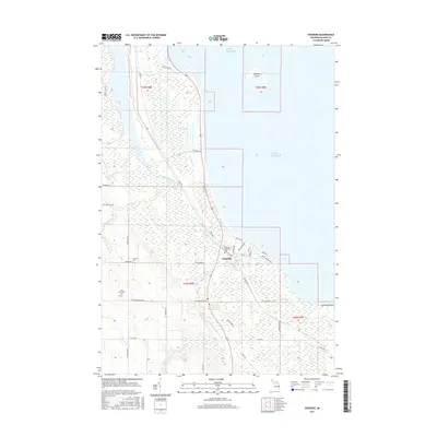
2017 Map of Ossineke
USGS Topo · Published 2017About this map
Ossineke sits at the mouth of the Devils River, where the waters flow into Lake Huron just south of Squaw Bay. The settlement is defined by its coastal position and its proximity to the vast Black River Swamp to the southeast. The landscape is heavily marked by small watercourses such as Cranberry Cr, Precore Cr, and Berlinski Cr, which feed the river system as it winds toward the lake. Several burial grounds, including the Sanborn Township Cem, German Cem, and Saint Catherine's Cem, are located west of the town center, providing significant genealogical landmarks for the region. Offshore, Sulphur Island remains a prominent feature in the lake. The map details the local infrastructure of the era, from the residential grids of Washington Ave and State ST to the recreational Ossineke Pathway, illustrating the intersection of residential life and the natural marshy environment of Alpena County.
Find a feature on this map
46 named features on this map. Tap any name to fly to it.
Don’t see what you’re looking for? This feature index may not catch every label — zoom into the map to look around manually.
Map Details
Editions of this 2017 Ossineke Map
This is the sole edition of this map. No revisions or reprints were ever made.
Other maps of this area

1954 · Tawas City
USGS Topo · 1:250,000

1954 · Alpena
USGS Topo · 1:250,000

1957 · Alpena
USGS Topo · 1:250,000

1958 · Alpena
USGS Topo · 1:250,000

1958 · Tawas City
USGS Topo · 1:250,000

1969 · Alpena
USGS Topo · 1:250,000

1971 · Lake Winyah
USGS Topo · 1:24,000

1971 · Alpena
USGS Topo · 1:24,000

1971 · Spruce
USGS Topo · 1:24,000

1971 · North Point
USGS Topo · 1:24,000