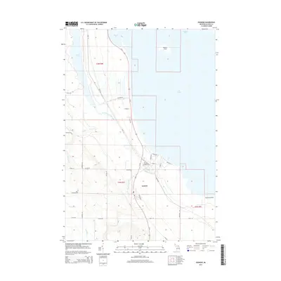
2014 Map of Ossineke
USGS Topo · Published 2014About this map
Ossineke serves as the focal point of this coastal survey, situated where the Devils River meets the expansive waters of Lake Huron. The landscape is defined by its intricate drainage systems, including the S Br Devils River and North Branch Devils River, which carve through the terrain south of Thunder Bay. To the east, Sulphur Island sits just offshore, while Hardwood Point marks a prominent bend in the coastline.
Find a feature on this map
42 named features on this map. Tap any name to fly to it.
Don’t see what you’re looking for? This feature index may not catch every label — zoom into the map to look around manually.
Map Details
Editions of this 2014 Ossineke Map
This is the sole edition of this map. No revisions or reprints were ever made.
Other maps of this area

1954 · Tawas City
USGS Topo · 1:250,000

1954 · Alpena
USGS Topo · 1:250,000

1957 · Alpena
USGS Topo · 1:250,000

1958 · Alpena
USGS Topo · 1:250,000

1958 · Tawas City
USGS Topo · 1:250,000

1969 · Alpena
USGS Topo · 1:250,000

1971 · Lake Winyah
USGS Topo · 1:24,000

1971 · Alpena
USGS Topo · 1:24,000

1971 · Spruce
USGS Topo · 1:24,000

1971 · North Point
USGS Topo · 1:24,000