Old Maps of Berrien County, Michigan for Genealogy
Trace your family roots with 123 historic maps of Berrien County. These high-res maps reveal old neighborhoods, homesites, landmarks, and streets — helping you uncover where your ancestors lived and how the area evolved over time.
- Explore historic neighborhoods: Identify where your relatives may have lived in the 1800s or 1900s.
- Compare maps over time: Trace the changes in streets, buildings, and landmarks for multi-generational research.
- Perfect for genealogy & ancestry research: Used by family historians and researchers to map out lineage and migration.
These maps are an incredible resource for exploring your personal connection to Berrien County's past.
Berrien County, MI maps
(123)- 1927 Map of Niles
 1927 Niles1927 Print · USGSBerrien County and the Michigan-Indiana borderlands are captured here during the late 1920s, showing a landscape of river-powered towns and rural school districts. Genealogists can trace family roots through dozens of local landmarks like Ruggles Cem, Salem Ch, and Emmanuel Missionary College.
 - 1927 Map of Hartford, 1943 Print
 1927 Hartford1943 Print · USGSVan Buren County agriculture and lakeside leisure meet in the late 1920s as Hartford and Lawrence thrive along the Pere Marquette rail line. Researchers can locate numerous rural schoolhouses, the historic Red Mill, and early resort development at Sister Lakes and Woodland Beach.3 unique versions available
 - 1927 Map of Benton Harbor, 1964 Print
 1927 Benton Harbor1964 Print · USGSBenton Harbor and St. Joseph dominate the Lake Michigan shoreline in this late 1920s survey of Berrien County commerce and transit. Genealogists can locate dozens of rural schoolhouses like Bacon Sch and Hull Sch alongside local landmarks like the House of David.
 - 1930 Map of Three Oaks
 1930 Three Oaks1930 Print · USGSSouthwest Michigan's lakeshore and interior townships are captured in detail during the late twenties. Genealogists and historians can trace family roots through numerous rural schoolhouses like California Sch or visit the settled blocks of Three Oaks and New Buffalo.3 unique versions available
 - 1930 Map of Benton Harbor
 1930 Benton Harbor1930 Print · USGSBerrien County's lakefront and river valleys appear in high detail during the late Prohibition era. Genealogists can trace family names through dozens of rural landmarks like Twelve Corners, Crystal Springs Cem, and the House of David.4 unique versions available
 - 1930 Map of Niles
 1930 Niles1930 Print · USGSBerrien County's rural heartland is captured here at the onset of the 1930s, showing the agricultural and riverine landscape before modern development. Genealogists can trace family roots through numerous country schools like Bedinger Sch and landmark sites such as Salem Ch or Pennellwood.4 unique versions available
 - 1931 Map of Hartford
 1931 Hartford1931 Print · USGSVan Buren County and the northern edge of Cass County appear here in the late twenties, defined by a dense landscape of glacial lakes and river bottomlands. Researchers can locate early country schools like Brague Sch, the Red Mill on Silver Creek, and historic crossroads including Keeler and Fritzburg.2 unique versions available
 - 1943 Map of Niles
 1943 Niles1943 Print · USGSThe St. Joseph River valley in the early 1940s was a landscape defined by small townships and numerous rural school districts. Genealogists can trace family footprints across Berrien Springs and Buchanan, locating family-named sites like Ruggles Cem and Kelsey Sch.
 - 1944 Map of Three Oaks
 1944 Three Oaks1944 Print · USGSCoastal Berrien County at the height of the Second World War shows a vibrant mix of lakeside resorts and rural farming communities. Researchers can trace ancestral roots at Forest Lawn Cem or locate vintage schoolhouses like Riverside Sch and California Sch along the Pere Marquette rail line.
 - 1945 Map of Cassopolis, 1967 Print
 1945 Cassopolis1967 Print · USGSSouthwestern Michigan's rural landscape is captured here in the mid-1940s, showing a dense network of country schools and family-named cemeteries. Genealogists can trace property roots near Barron Lake Cem, Crystal Springs Campground, and numerous landmarks like Morris Chapel.3 unique versions available
 - 1947 Map of Cassopolis
 1947 Cassopolis1947 Print · USGSSouthwest Michigan's lake country is captured here just after the war, showing the busy rail-and-river hubs and rural townships. Researchers can locate dozens of neighborhood schoolhouses like Brooklyn Sch and country churches such as Smith Chapel.2 unique versions available
 - 1953 Map of Chicago, 1964 Print
 1953 Chicago1964 Print · USGSThe southern Lake Michigan shoreline was rapidly modernizing in the mid-fifties, balancing heavy industry with its famous academic centers. Researchers can trace the footprints of Notre Dame University or locate vanished sites like the Kingsbury Ordnance Plant and Meigs Field.5 unique versions available
 - 1957 Map of Chicago
 1957 Chicago1957 Print · USGSThe industrial heartland and southern Great Lakes shoreline are captured here during the peak of mid-century growth. Researchers can trace the massive Gary Steel Works, the grounds of the University of Notre Dame, and the early paths of the Tri-State Tollway.
 - 1958 Map of Racine, 1971 Print
 1958 Racine1971 Print · USGSThe Lake Michigan shoreline in the late fifties was a study in contrasts between the industrial bustle of Kenosha and the quiet woods of the Allegan State Forest. Genealogists and historians can trace the urban footprint of Evanston or locate strategic sites like Fort Sheridan and the Wind Point Light.3 unique versions available
 - 1962 Map of Racine
 1962 Racine1962 Print · USGSThe Lake Michigan shoreline in the early sixties reveals a fascinating contrast between the dense industrial rail hubs of RACINE and CHICAGO and the forested dunes of Michigan. Local historians can trace military installations like Fort Sheridan or explore the numerous inland retreats around Paw Paw Lake and Sister Lakes.
 - 1970 Map of New Buffalo West, 1973 Print
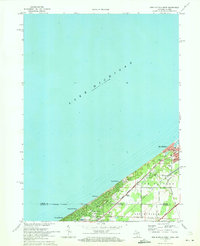 1970 New Buffalo West1973 Print · USGSThe Michigan-Indiana borderlands meet the lakefront in the early 1970s, showcasing a dense network of coastal settlements and rail corridors. Genealogists and local historians can trace property near Pine Grove Cem or locate the St Mary of the Lake Sch and West Sch.2 unique versions available
 - 1970 Map of Coloma, 1973 Print
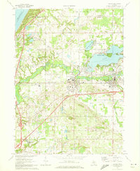 1970 Coloma1973 Print · USGSSouthwestern Michigan's orchard and lake country is captured here during the 1970s, as regional commerce followed the Paw Paw River and rail lines. Researchers can trace family ties through several local burial grounds like St Joseph Cem and Coloma Cem, or locate landmarks such as the Watervliet Mun Airport.2 unique versions available
 - 1970 Map of Benton Harbor, 1973 Print
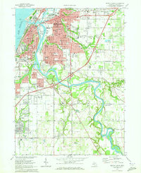 1970 Benton Harbor1973 Print · USGSThe twin cities of the Michigan shoreline are documented here during a period of mid-century growth and industrial rail activity. Researchers can trace the legacy of the House of David, locate old neighborhood landmarks like Calvin Britain Sch, or follow the winding St Joseph River to Kings Landing.2 unique versions available
 - 1970 Map of Baroda, 1973 Print
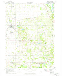 1970 Baroda1973 Print · USGSBerrien County is captured in the early seventies, showing a landscape of small orchards and glacial lakes surrounding Baroda. Genealogists and local historians can trace family-named landmarks like Ruggles Cem, Hickox Landing Strip, and the tracks of the C & O RR.
 - 1970 Map of Sodus, 1973 Print
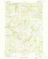 1970 Sodus1973 Print · USGSBerrien County is shown in the early seventies, a time when small crossroads communities and rural family cemeteries still anchored the landscape. Genealogists can locate family-named markers at Byers Cem or Pennyan Cem and trace settlements like Spinks Corners and Sodus.
 - 1970 Map of Stevensville, 1973 Print
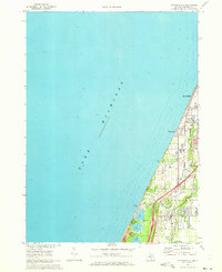 1970 Stevensville1973 Print · USGSThe Berrien County coast during the 1970s shows a landscape of lakeside communities and evolving infrastructure along Lake Michigan. Genealogists and historians can trace local family roots through the Stevensville Cem, Lake Shore Sch, and early residential layouts in Shoreham.2 unique versions available
 - 1970 Map of New Buffalo East, 1973 Print
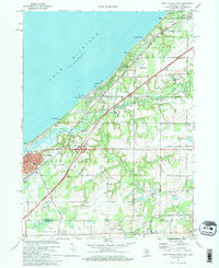 1970 New Buffalo East1973 Print · USGSCoastal Michigan and the Indiana borderlands are captured here in the early seventies as lakefront communities and rail corridors defined the region. Genealogists and local historians can trace the grounds of St Paul Monastery, Posey Chapel, and the Forest Lawn Cem.
 - 1970 Map of Benton Heights, 1973 Print
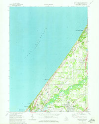 1970 Benton Heights1973 Print · USGSThe Berrien County shoreline and the lower Paw Paw River valley are shown here in the early 1970s. Trace local roots at St Marys Ch, locate vanished classrooms at School No 6, and follow the Chesapeake and Ohio rail line.
 - 1970 Map of Bridgman, 1973 Print
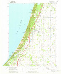 1970 Bridgman1973 Print · USGSThe Berrien County shoreline at the start of the 1970s shows a landscape of massive dunes and growing coastal villages. Genealogists and historians can trace the foundations of Bridgman and Sawyer while locating landmarks like Greenwood Cem and the Chesapeake and Ohio tracks.2 unique versions available
 - 1970 Map of Three Oaks, 1973 Print
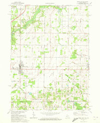 1970 Three Oaks1973 Print · USGSBerrien County and the Indiana state line meet here in the early 1970s, where the Chesapeake and Ohio rail line links rural villages and woodlots. Researchers can trace historic local institutions from River Valley High Sch to quiet rural burial grounds like Shedd Cem.
Showing maps 1-25 of 123
Top cities of Berrien County
- Niles historical maps
- Benton Harbor historical maps
- Saint Joseph historical maps
- Buchanan historical maps
- Bridgman historical maps
- New Buffalo historical maps
See more
Frequently asked questions
- What are the different types of historical maps available for Berrien County?
- What is the oldest map of Berrien County?
- Where can I purchase historical maps of Berrien County for my home or office?
- Where can I download high-res historical maps of Berrien County?
- Are there historical topographic maps available for Berrien County?
- Is there historical aerial imagery available for Berrien County?
- Where are historical maps of Berrien County sourced from?