2000s (21st Century) Maps of Berrien County, Michigan
Explore 90 historic maps of Berrien County from the 2000s (21st Century). These maps offer a rare glimpse into what life looked like during the 2000s — showing old roads, neighborhoods, homes, and landmarks that have changed or disappeared over time.
Whether you're researching your family's past, planning a metal detecting trip, or studying how Berrien County's landscape evolved across the 2000s, these high-resolution maps are a powerful tool for exploring the history of this region.
- Focus on a specific era: All maps on this page are from the 2000s, giving you a focused view of this time period.
- See what’s changed: Compare century-old streets, trails, and buildings to today's modern landscape using overlays and satellite layers.
- Research with precision: Use these maps for genealogy, historical research, land use analysis, or educational projects.
- View, download, or print: Maps are fully viewable online in high resolution, and can be downloaded or printed for your own records.
Start exploring Berrien County's history through authentic maps from the 2000s. This is your window into the past.
Berrien County, MI maps
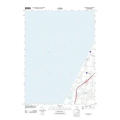
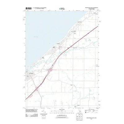
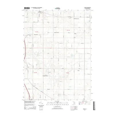
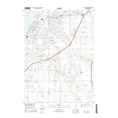
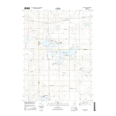
(90)- 2011 Map of Sodus, 2011 Print
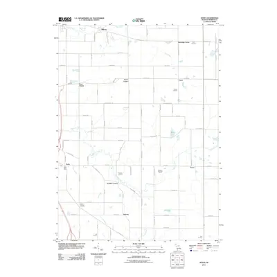 2011 Sodus2011 Print · USGSCovers Berrien County, including Sodus, Benton Charter Township, and other nearby areas
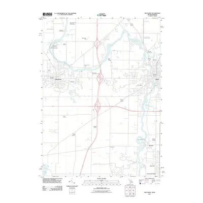
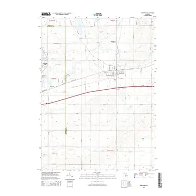
 - 2011 Map of Hartford, 2011 Print
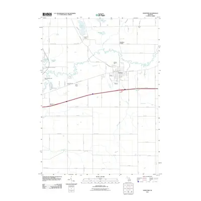 2011 Hartford2011 Print · USGSCovers Berrien County, including Hartford, Watervliet, and other nearby areas
 - 2011 Map of Sister Lakes, 2011 Print
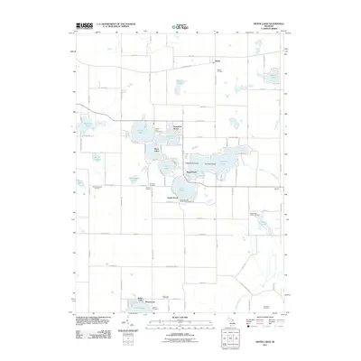 2011 Sister Lakes2011 Print · USGSCovers Berrien County, including Keeler, Bainbridge Township, and other nearby areas
 - 2011 Map of Benton Heights, 2011 Print
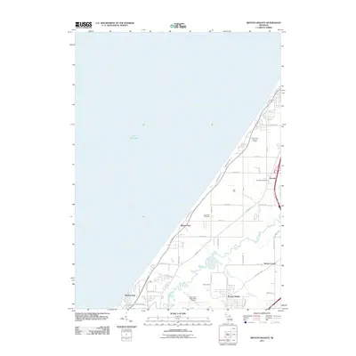 2011 Benton Heights2011 Print · USGSCovers Berrien County, including Benton Harbor, Benton Heights, and other nearby areas
 - 2011 Map of Stevensville, 2011 Print
 2011 Stevensville2011 Print · USGSCovers Berrien County, including Saint Joseph, Stevensville, and other nearby areas
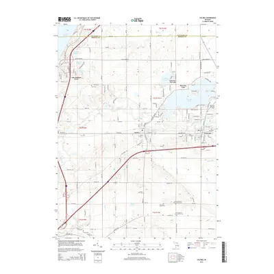
 - 2011 Map of Coloma, 2011 Print
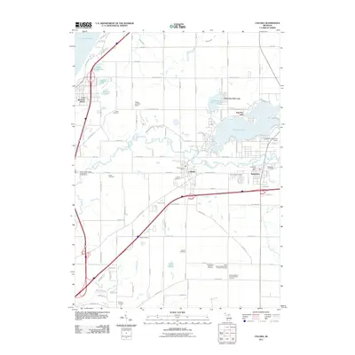 2011 Coloma2011 Print · USGSCovers Berrien County, including Watervliet, Coloma, and other nearby areas
 - 2011 Map of Benton Harbor, 2011 Print
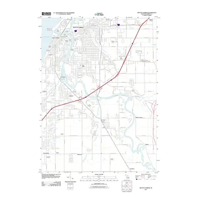 2011 Benton Harbor2011 Print · USGSCovers Berrien County, including Benton Harbor, Saint Joseph, and other nearby areas
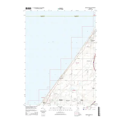
 - 2011 Map of Berrien Springs, 2011 Print
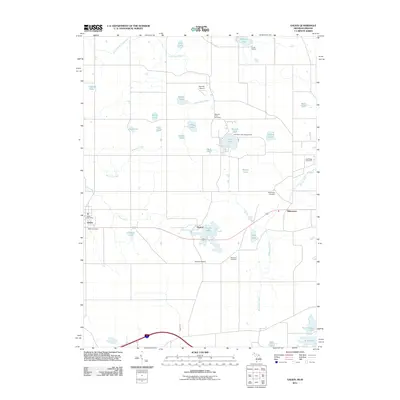
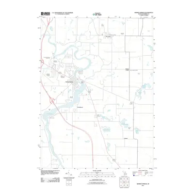 2011 Berrien Springs2011 Print · USGSCovers Berrien County, including Berrien Springs, Eau Claire, and other nearby areas
 - 2011 Map of Bridgman OE W, 2011 Print
 2011 Bridgman OE W2011 Print · USGSCovers Berrien County, including Birchwood, Chikaming Township, and other nearby areas
 - 2011 Map of Galien, 2011 Print
 2011 Galien2011 Print · USGSCovers Berrien County, including Buchanan, Galien, and other nearby areas
 - 2011 Map of Bridgman, 2011 Print
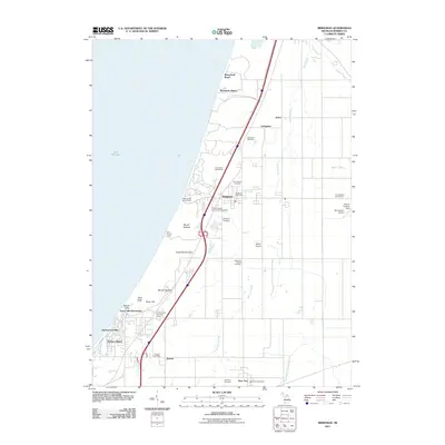 2011 Bridgman2011 Print · USGSCovers Berrien County, including Bridgman, Sawyer, and other nearby areas
 - 2011 Map of Niles East, 2011 Print
 2011 Niles East2011 Print · USGSCovers Berrien County, including Niles, Milton Township, and other nearby areas
 - 2011 Map of New Buffalo West, 2011 Print
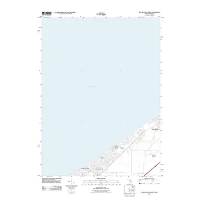 2011 New Buffalo West2011 Print · USGSCovers Berrien County, including Michigan City, New Buffalo, and other nearby areas
 - 2011 Map of Niles West, 2011 Print
 2011 Niles West2011 Print · USGSCovers Berrien County, including South Bend, Niles, and other nearby areas
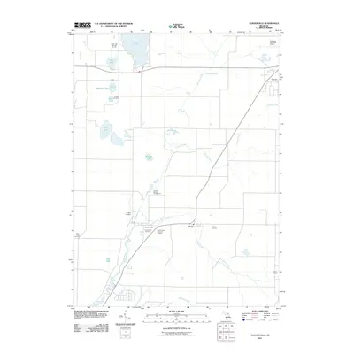
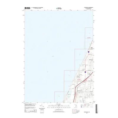
 - 2011 Map of Baroda, 2011 Print
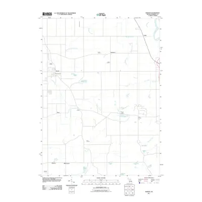 2011 Baroda2011 Print · USGSCovers Berrien County, including Baroda, Royalton Township, and other nearby areas
 - 2011 Map of Three Oaks, 2011 Print
 2011 Three Oaks2011 Print · USGSCovers Berrien County, including Three Oaks, Galien, and other nearby areas
 - 2011 Map of New Buffalo East, 2011 Print
 2011 New Buffalo East2011 Print · USGSCovers Berrien County, including New Buffalo, Hesston, and other nearby areas
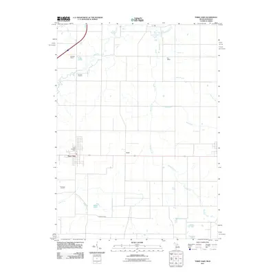
 - 2011 Map of Sumnerville, 2011 Print
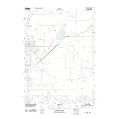
 2011 Sumnerville2011 Print · USGSCovers Berrien County, including Niles, Dowagiac, and other nearby areas
 - 2014 Map of Sodus, 2014 Print
 2014 Sodus2014 Print · USGSCovers Berrien County, including Sodus, Benton Charter Township, and other nearby areas
 - 2014 Map of Hartford, 2014 Print
 2014 Hartford2014 Print · USGSCovers Berrien County, including Hartford, Watervliet, and other nearby areas
 - 2014 Map of Benton Harbor, 2014 Print
 2014 Benton Harbor2014 Print · USGSCovers Berrien County, including Benton Harbor, Saint Joseph, and other nearby areas
 - 2014 Map of Coloma, 2014 Print
 2014 Coloma2014 Print · USGSCovers Berrien County, including Watervliet, Coloma, and other nearby areas
 - 2014 Map of Benton Heights, 2014 Print
 2014 Benton Heights2014 Print · USGSCovers Berrien County, including Benton Harbor, Benton Heights, and other nearby areas
 - 2014 Map of Stevensville, 2014 Print
 2014 Stevensville2014 Print · USGSCovers Berrien County, including Saint Joseph, Stevensville, and other nearby areas
 - 2014 Map of Sister Lakes, 2014 Print
 2014 Sister Lakes2014 Print · USGSCovers Berrien County, including Keeler, Bainbridge Township, and other nearby areas
Showing maps 1-25 of 90
Top cities of Berrien County
- Niles historical maps
- Benton Harbor historical maps
- Saint Joseph historical maps
- Buchanan historical maps
- Bridgman historical maps
- New Buffalo historical maps
See more
Frequently asked questions
- What are the different types of historical maps available for Berrien County?
- What is the oldest map of Berrien County?
- Where can I purchase historical maps of Berrien County for my home or office?
- Where can I download high-res historical maps of Berrien County?
- Are there historical topographic maps available for Berrien County?
- Is there historical aerial imagery available for Berrien County?
- Where are historical maps of Berrien County sourced from?