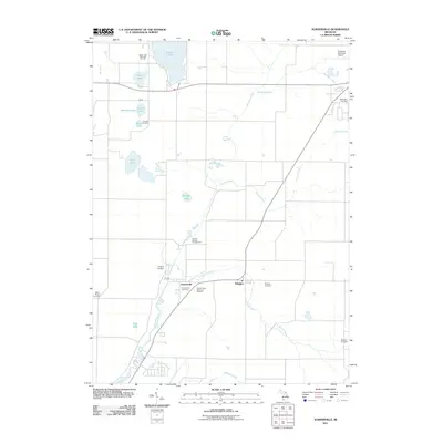
2011 Map of Sumnerville
USGS Topo · Published 2011About this map
The Dowagiac River and its numerous tributaries, including Peavine Creek and Pokagon Creek, define the landscape of this portion of Southwest Michigan. Centered on the settlements of Sumnerville and Pokagon, the area is characterized by a dense concentration of rural burial grounds, such as Summerville Cemetery, Pokagon Cemetery, and the Morris Chapel Cemetery. This suggests a deeply rooted local history with many established family plots and community congregations preserved across the township.
Find a feature on this map
26 named features on this map. Tap any name to fly to it.
Don’t see what you’re looking for? This feature index may not catch every label — zoom into the map to look around manually.
Map Details
Editions of this 2011 Sumnerville Map
This is the sole edition of this map. No revisions or reprints were ever made.
Other maps of this area

1927 · Niles
USGS Topo · 1:62,500

1927 · Hartford
USGS Topo · 1:62,500

1927 · Benton Harbor
USGS Topo · 1:62,500

1930 · Benton Harbor
USGS Topo · 1:62,500

1930 · Niles
USGS Topo · 1:62,500

1931 · Hartford
USGS Topo · 1:62,500

1943 · Niles
USGS Topo · 1:62,500

1945 · Cassopolis
USGS Topo · 1:62,500

1947 · Cassopolis
USGS Topo · 1:62,500

1953 · Chicago
USGS Topo · 1:250,000