2020s Maps of Calhoun County, Michigan
Explore 24 historic maps of Calhoun County from the 2020s. These maps offer a rare glimpse into what life looked like during the 2020s — showing old roads, neighborhoods, homes, and landmarks that have changed or disappeared over time.
Whether you're researching your family's past, planning a metal detecting trip, or studying how Calhoun County's landscape evolved across the 2020s, these high-resolution maps are a powerful tool for exploring the history of this region.
- Focus on a specific era: All maps on this page are from the 2020s, giving you a focused view of this time period.
- See what’s changed: Compare century-old streets, trails, and buildings to today's modern landscape using overlays and satellite layers.
- Research with precision: Use these maps for genealogy, historical research, land use analysis, or educational projects.
- View, download, or print: Maps are fully viewable online in high resolution, and can be downloaded or printed for your own records.
Start exploring Calhoun County's history through authentic maps from the 2020s. This is your window into the past.
Calhoun County, MI maps
(24)- 2023 Map of Marshall, 2023 Print
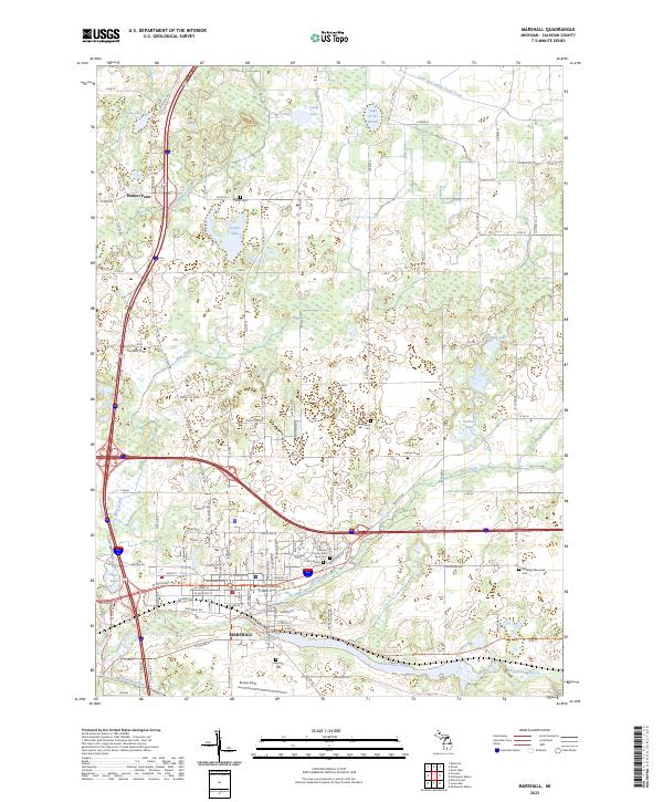 2023 Marshall2023 Print · USGSMarshall and the surrounding Calhoun County landscape appear here in the early 2020s, showing a community defined by the Kalamazoo River and Rice Creek. Genealogists and local historians can trace family plots across numerous sites, including Oakridge Cem and the Marengo Memorial Cem.
 - 2023 Map of Northeast Albion, 2023 Print
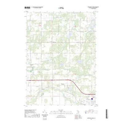
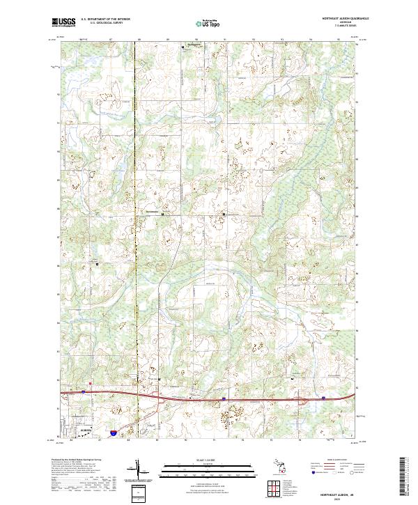 2023 Northeast Albion2023 Print · USGSCentral Michigan farmland and the northern outskirts of Albion are mapped here in the early 2020s. Researchers can trace rural lineages through numerous local burial sites like Smithfield Cem, Graham Cem, and the settlement at Devereaux.
 - 2023 Map of Southeast Albion, 2023 Print
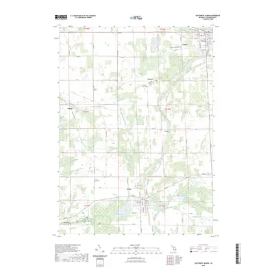
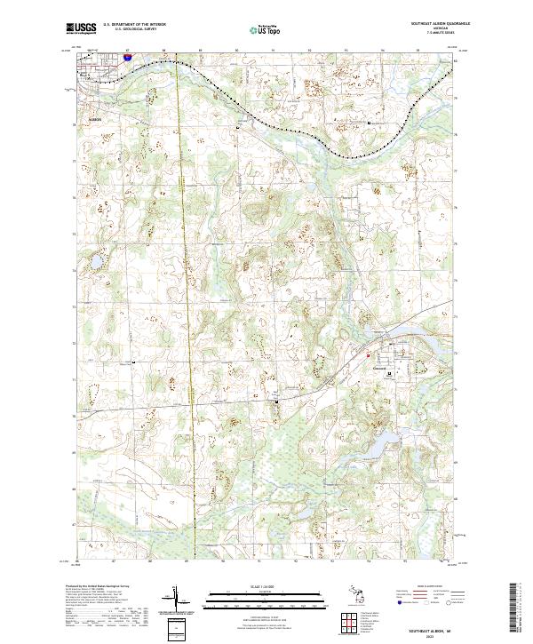 2023 Southeast Albion2023 Print · USGSJackson and Calhoun counties are surveyed here in the early twenty-first century, showing the developed landscapes between Albion and Concord. Researchers can find numerous historic burial sites like Maple Grove Cem and West Concord Cem along the North Branch Kalamazoo River.
 - 2023 Map of Springport, 2023 Print
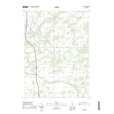
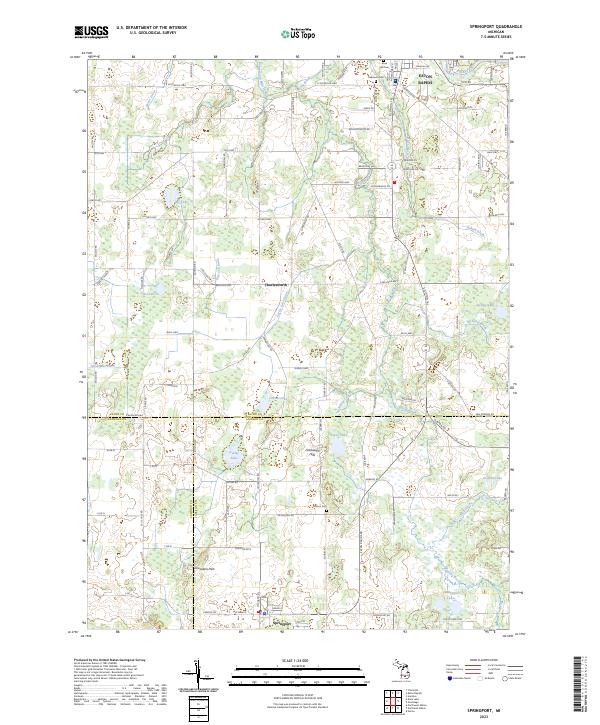 2023 Springport2023 Print · USGSMid-Michigan's agricultural heartland is documented here in the early twenty-first century as it spans the borders of Eaton and Jackson counties. Researchers can locate family plots at Oakwood Cem or trace the rural crossroads of Charlesworth and Springport.
 - 2023 Map of Mosherville, 2023 Print
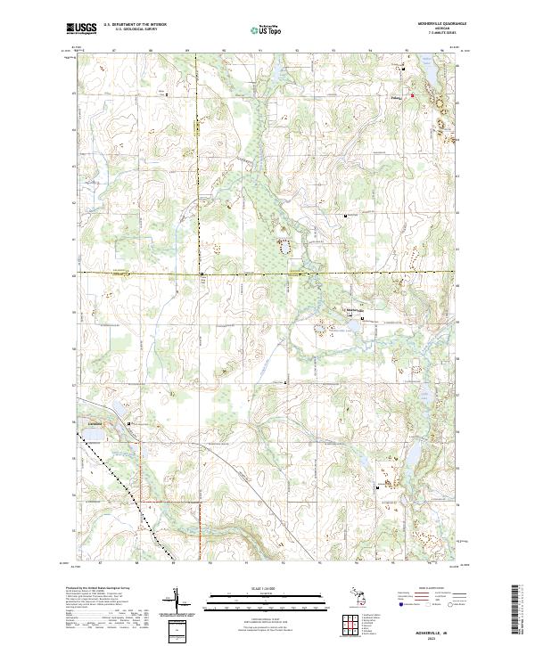 2023 Mosherville2023 Print · USGSSouthern Michigan farm country and the headwaters of two major river systems are documented here in the early twenty-first century. Genealogists can locate numerous family-named burial sites including Hiram King Cem, Fisher Cem, and Mount Hope Cem.
 - 2023 Map of Lyon Lake, 2023 Print
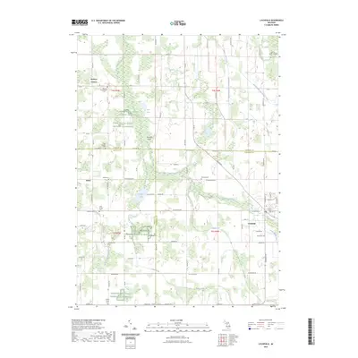
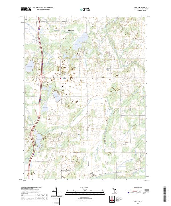 2023 Lyon Lake2023 Print · USGSCalhoun County's rural landscape south of Marshall is defined by its glacial lakes and intricate drainage networks during the early 2020s. Genealogists and local researchers can locate specific burial sites like Lyon Lake Cem, McFadden Burial Ground Cem, and the quiet crossroads of Wrights Corners.
 - 2023 Map of Olivet, 2023 Print
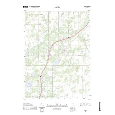 2023 Olivet2023 Print · USGSOlivet and the surrounding rural townships are shown here as they appeared in 2023, where the local economy meets the campus of Olivet College. Researchers can trace old family road names and locate rural burial sites like Bosworth Cem and Lee Center Cem.
 - 2023 Map of Duck Lake, 2023 Print
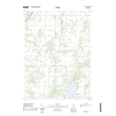 2023 Duck Lake2023 Print · USGSEaton and Calhoun counties maintain their strong agricultural roots in this contemporary survey of south-central Michigan. Genealogists can trace family heritage through numerous rural burial sites like Partello Cem, North Clarence Cem, and Fox Cem.
 - 2023 Map of Northwest Albion, 2023 Print
 2023 Northwest Albion2023 Print · USGSCalhoun County's river valleys and glacial lake districts are captured here in the early twenty-first century. Researchers can trace rural lineages through numerous burial grounds like Rice Creek Cem and Davis Cem or locate the village of Marengo.
 - 2023 Map of Southwest Albion, 2023 Print
 2023 Southwest Albion2023 Print · USGSCalhoun County's rural landscape and small towns are captured here in the early twenty-first century as the river system continues to shape the region. Genealogists can trace family names at Cooks Prairie Cem, Fairview Cem, and Riverside Cem.
 - 2023 Map of Tekonsha, 2023 Print
 2023 Tekonsha2023 Print · USGSTekonsha and the surrounding marshlands of Calhoun and Branch Counties are mapped here in the early 2020s. Genealogists and local historians can locate family plots at Riverside Cem and Evergreen Cem or trace the rural routes connecting Girard to South Butler.
 - 2023 Map of Litchfield, 2023 Print
 2023 Litchfield2023 Print · USGSLitchfield and the surrounding tri-county farm country are captured here in the early 2020s. Genealogists can trace local lineages through Butler Cem and Saratoga Cem, while outdoor researchers can follow the North Country National Scenic Trl.
 - 2023 Map of Bedford, 2023 Print
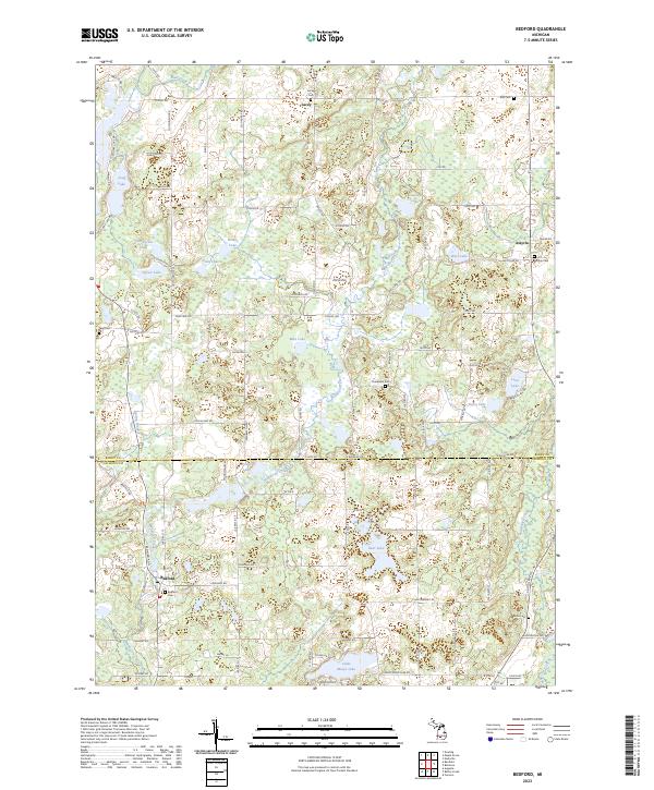 2023 Bedford2023 Print · USGSBarry and Calhoun Counties at the turn of the decade show a landscape of small rural settlements and glacial lakes. Family historians can trace local roots at Checkered Cem, Assyria Cem, and the waterside community of Bedford.
 - 2023 Map of Ellis Corners, 2023 Print
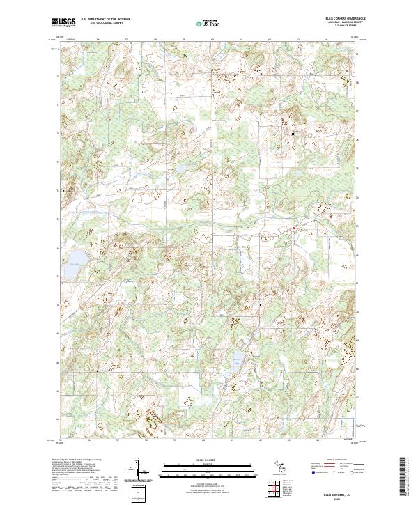 2023 Ellis Corners2023 Print · USGSCalhoun County's rural townships are documented here in the early twenty-first century, showing a landscape of family farms and wetland conservation. Genealogists can locate historic burial sites like Barrington Cem and Houston Cem alongside local waterways such as Lee Lake and Nottawa Creek.
 - 2023 Map of Bellevue, 2023 Print
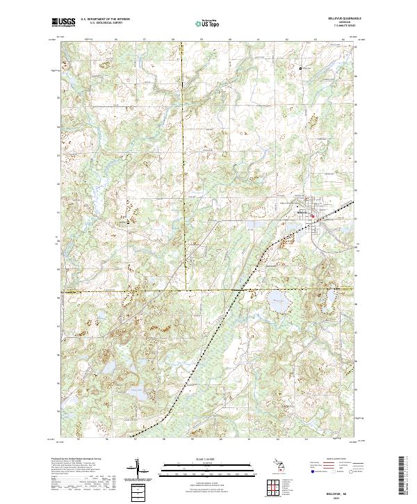 2023 Bellevue2023 Print · USGSSouthern Michigan farmland and lakeside communities are documented here during the early twenty-first century. Genealogists can trace family histories through sites like Bellevue Riverside Cem, Bell Cem, and the various homesteads scattered near Wolf Lake and Clear Lake.
 - 2023 Map of Burlington, 2023 Print
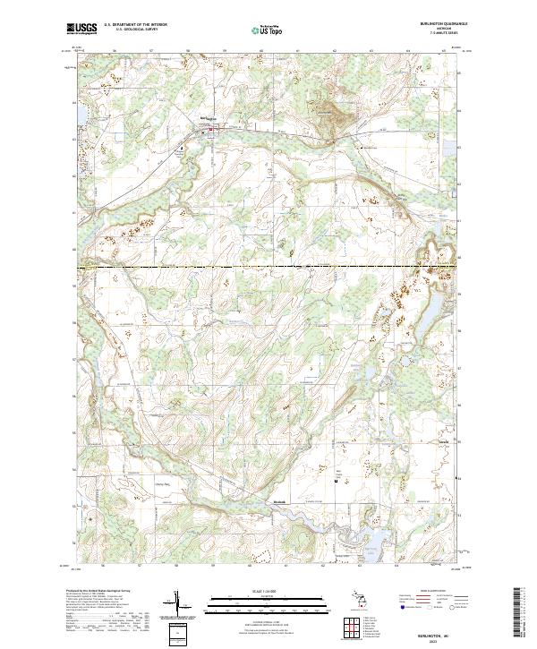 2023 Burlington2023 Print · USGSThe rural border of Calhoun and Branch Counties is captured here in the early twenty-first century, centered on the Saint Joseph River. Researchers can trace old family burial sites at Old Burlington Cem and West Prairie Cem or explore the river confluence at Hodunk.
 - 2023 Map of Climax, 2023 Print
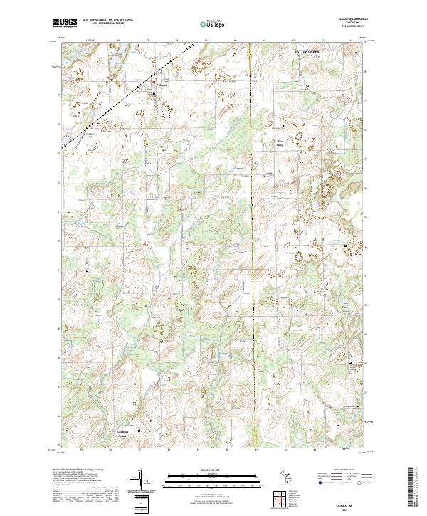 2023 Climax2023 Print · USGSKalamazoo and Calhoun counties meet here in a landscape of small farms and vital drainage systems during the early twenty-first century. Genealogists can trace family names at Prairie Home Cem, West Leroy Cem, and Gardners Corners.
 - 2023 Map of Leonidas, 2023 Print
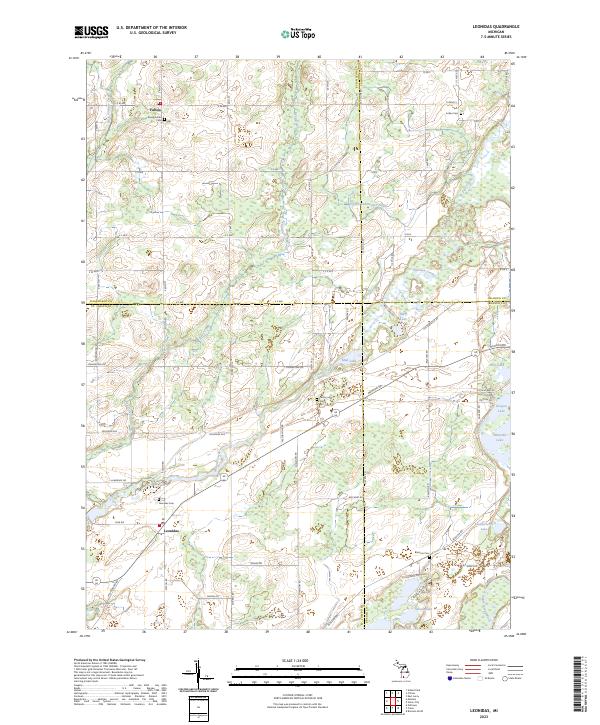 2023 Leonidas2023 Print · USGSSouthern Michigan's rural borderlands are documented here, showing the agricultural and water networks connecting St. Joseph and Kalamazoo counties. Researchers can locate family sites near Leonidas, Fulton, and several historic burial grounds like Indian Cemetery.
 - 2023 Map of Banfield, 2023 Print
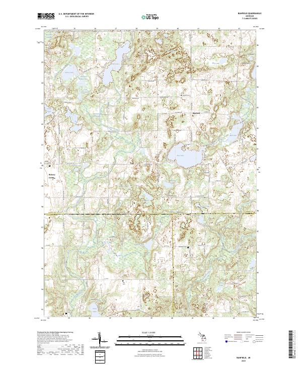 2023 Banfield2023 Print · USGSThe tri-county borderlands of Barry, Kalamazoo, and Calhoun counties are meticulously documented here in the early 2020s. Researchers can locate numerous family burial grounds including Day Cem and Hamilton Cem or trace the winding course of Augusta Creek through the swampy lowlands.
 - 2023 Map of Ceresco, 2023 Print
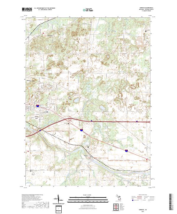 2023 Ceresco2023 Print · USGSCalhoun County's river valleys and rural townships are captured in this recent survey of the Ceresco area. Researchers can trace the path of the North Country National Scenic Tr and locate local landmarks like Sandstone Cem and the Kalamazoo River.
 - 2023 Map of Union City, 2023 Print
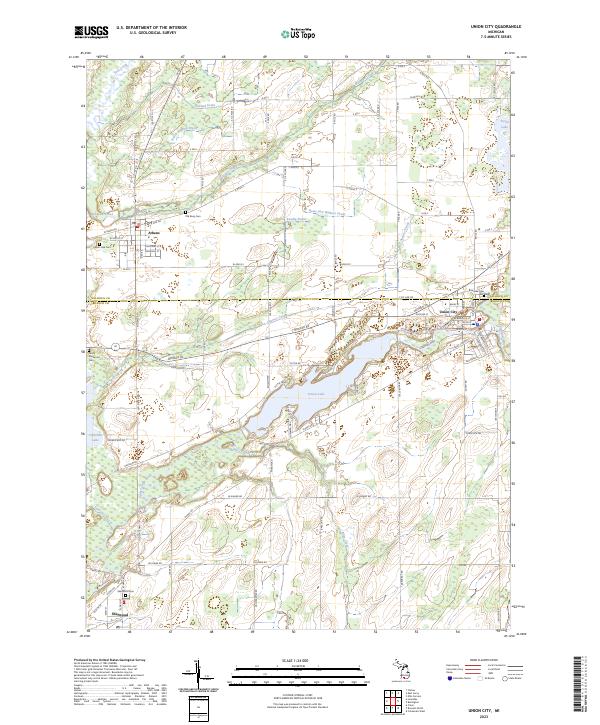 2023 Union City2023 Print · USGSBranch and Calhoun counties come together in this contemporary look at the rural landscape surrounding Union City and Athens. Researchers can locate several historical burial sites including Old Burg Cem and trace the paths of the Saint Joseph River and Coldwater River.
 - 2023 Map of East Leroy, 2023 Print
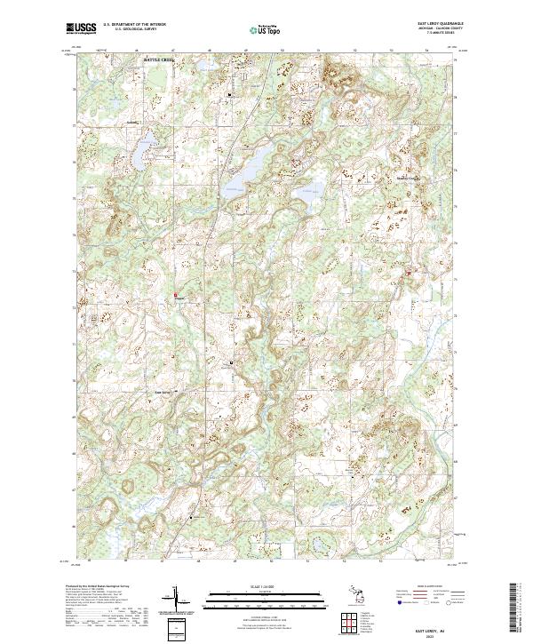 2023 East Leroy2023 Print · USGSCalhoun County's rural townships are documented here during the early 2020s, showing a landscape of scattered settlements and small lakes. Genealogists can locate family landmarks like Morgan Cem, Walker Cem, and the communities of Joppa and East Leroy.
 - 2023 Map of Battle Creek, 2023 Print
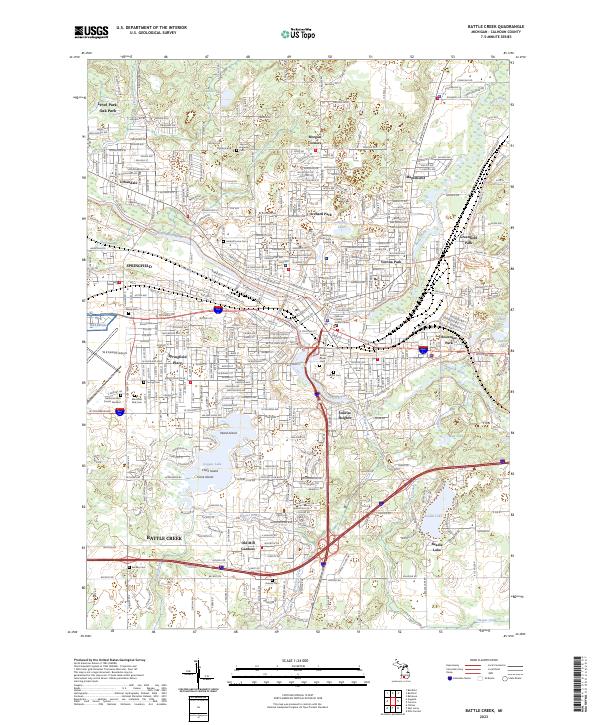 2023 Battle Creek2023 Print · USGSBattle Creek and its suburbs come alive in this modern survey of Calhoun County’s riverfront and rail corridors. Researchers can locate numerous family burial sites like Harmon Halladay Cem, schools such as Kellogg Community College, and islands within Goguac Lake.
 - 2023 Map of Augusta, 2023 Print
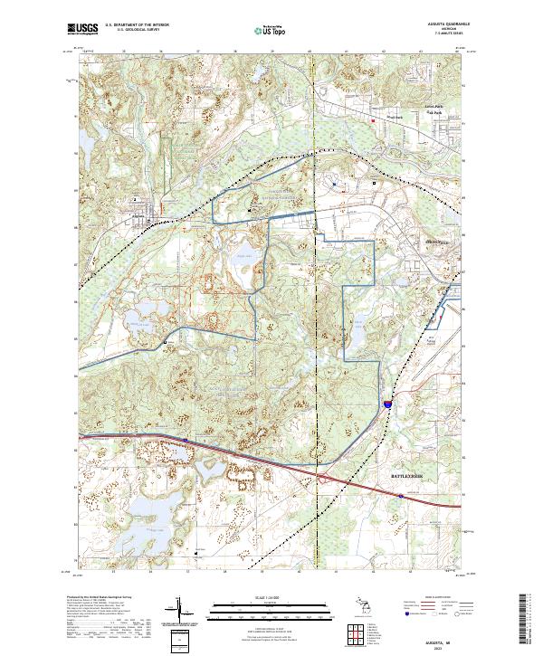 2023 Augusta2023 Print · USGSThe river valleys of Kalamazoo and Calhoun counties are shown here in the 2020s, dominated by the legacy of Fort Custer and the industry of the Battle Creek area. Researchers can locate Augusta Cem, trace the Norfolk Southern railway, or study the perimeter of the W K Kellogg Airport.
End of results
Showing maps 1-24 of 24
Top cities of Calhoun County
- Battle Creek historical maps
- Albion historical maps
- Marshall historical maps
- Springfield historical maps
Frequently asked questions
- What are the different types of historical maps available for Calhoun County?
- What is the oldest map of Calhoun County?
- Where can I purchase historical maps of Calhoun County for my home or office?
- Where can I download high-res historical maps of Calhoun County?
- Are there historical topographic maps available for Calhoun County?
- Is there historical aerial imagery available for Calhoun County?
- Where are historical maps of Calhoun County sourced from?