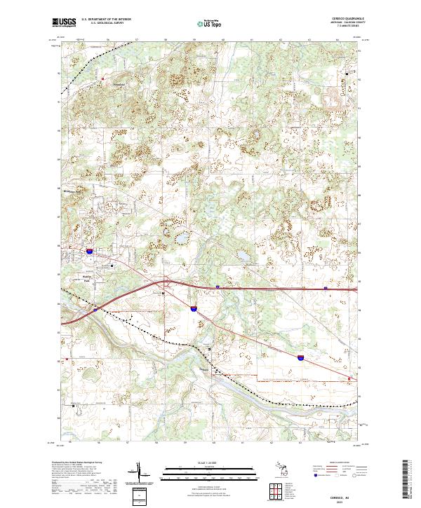
2023 Map of Ceresco
USGS Topo · Published 2023About this map
Ceresco and the surrounding Calhoun County landscape are defined by the convergence of the Kalamazoo River and several tributary systems, including Dickinson Creek and Crooked Creek. This modern survey highlights a region shaped by its watercourses and the established transport corridor of E Michigan Ave. While the area is primarily rural and dotted with wetlands like Black Marsh and Mud Lake, it contains significant suburban development on its western edge near Wattles Park and Brownlee Park. The map provides detailed locations for local genealogy, noting several burial grounds such as Sandstone Cem, Newbre Cem, and the extensive Floral Lawn Memorial Gardens. Recreation and conservation are prominently featured via the North Country National Scenic Tr, which winds through the central and southern sections of the quadrangle.
Find a feature on this map
84 named features on this map. Tap any name to fly to it.
Don’t see what you’re looking for? This feature index may not catch every label — zoom into the map to look around manually.
Map Details
Editions of this 2023 Ceresco Map
This is the sole edition of this map. No revisions or reprints were ever made.
Other maps of this area

1918 · Battle Creek
USGS Topo · 1:62,500

1918 · Union City
USGS Topo · 1:62,500

1921 · Marshall
USGS Topo · 1:62,500

1923 · Marshall
USGS Topo · 1:62,500

1943 · Battle Creek
USGS Topo · 1:62,500

1943 · Marshall
USGS Topo · 1:62,500

1947 · Bellevue
USGS Topo · 1:24,000

1947 · Bedford
USGS Topo · 1:24,000

1947 · Ceresco
USGS Topo · 1:24,000

1947 · Battle Creek
USGS Topo · 1:24,000
Featured Places
- Emmett Charter Township, MI
- Marshall Township, MI
- Pennfield Charter Township, MI
- Wattles Park, MI
- Ceresco, MI