2000s (21st Century) Maps of Grant Township, Michigan
Explore 20 historic maps of Grant Township from the 2000s (21st Century). These maps offer a rare glimpse into what life looked like during the 2000s — showing old roads, neighborhoods, homes, and landmarks that have changed or disappeared over time.
Whether you're researching your family's past, planning a metal detecting trip, or studying how Grant Township's landscape evolved across the 2000s, these high-resolution maps are a powerful tool for exploring the history of this region.
- Focus on a specific era: All maps on this page are from the 2000s, giving you a focused view of this time period.
- See what’s changed: Compare century-old streets, trails, and buildings to today's modern landscape using overlays and satellite layers.
- Research with precision: Use these maps for genealogy, historical research, land use analysis, or educational projects.
- View, download, or print: Maps are fully viewable online in high resolution, and can be downloaded or printed for your own records.
Start exploring Grant Township's history through authentic maps from the 2000s. This is your window into the past.
Grant Township, MI maps
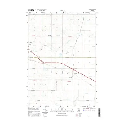
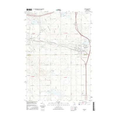
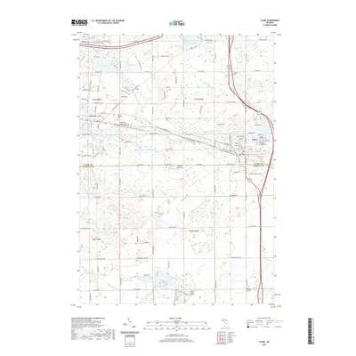
(20)- 2011 Map of Clare, 2011 Print
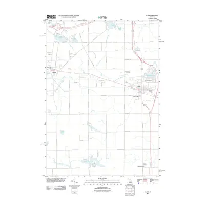 2011 Clare2011 Print · USGSCovers Grant Township, including Clare, Farwell, and other nearby areas
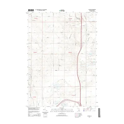
 - 2011 Map of Hatton, 2011 Print
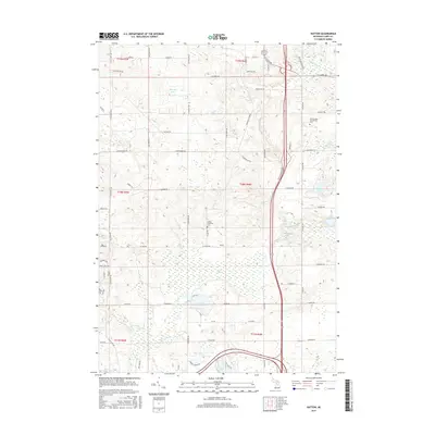
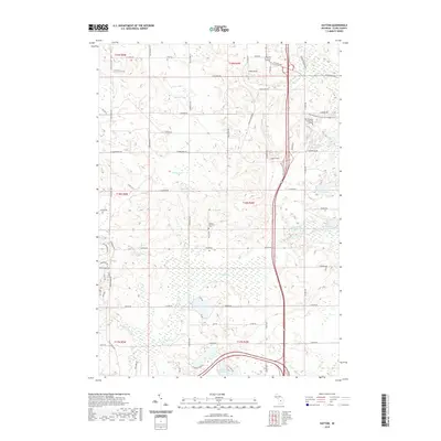
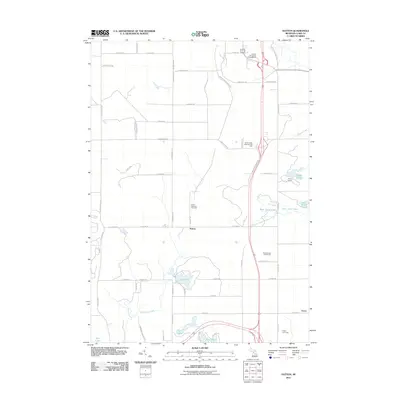 2011 Hatton2011 Print · USGSCovers Grant Township, including Hatton, Greenwood Township, and other nearby areas
 - 2011 Map of Loomis, 2011 Print
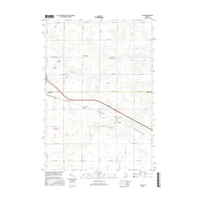
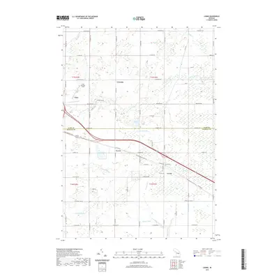
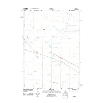 2011 Loomis2011 Print · USGSCovers Grant Township, including Clare, Sheridan Township, and other nearby areas
 - 2011 Map of Browns Corners, 2011 Print
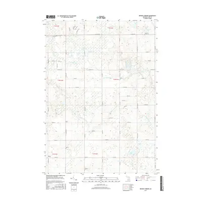
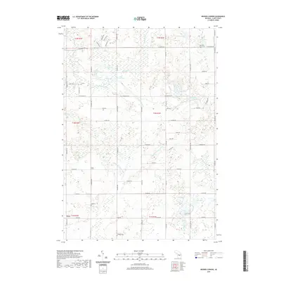
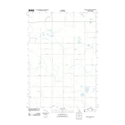 2011 Browns Corners2011 Print · USGSCovers Grant Township, including Sheridan Township, Arthur Township, and other nearby areas
 - 2014 Map of Hatton, 2014 Print
 2014 Hatton2014 Print · USGSCovers Grant Township, including Hatton, Greenwood Township, and other nearby areas
 - 2014 Map of Loomis, 2014 Print
 2014 Loomis2014 Print · USGSCovers Grant Township, including Clare, Sheridan Township, and other nearby areas
 - 2014 Map of Clare, 2014 Print
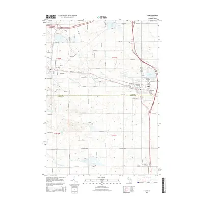 2014 Clare2014 Print · USGSCovers Grant Township, including Clare, Farwell, and other nearby areas
 - 2014 Map of Browns Corners, 2014 Print
 2014 Browns Corners2014 Print · USGSCovers Grant Township, including Sheridan Township, Arthur Township, and other nearby areas
 - 2017 Map of Clare, 2017 Print
 2017 Clare2017 Print · USGSCovers Grant Township, including Clare, Farwell, and other nearby areas
 - 2017 Map of Browns Corners, 2017 Print
 2017 Browns Corners2017 Print · USGSCovers Grant Township, including Sheridan Township, Arthur Township, and other nearby areas
 - 2017 Map of Hatton, 2017 Print
 2017 Hatton2017 Print · USGSCovers Grant Township, including Hatton, Greenwood Township, and other nearby areas
 - 2017 Map of Loomis, 2017 Print
 2017 Loomis2017 Print · USGSCovers Grant Township, including Clare, Sheridan Township, and other nearby areas
 - 2019 Map of Browns Corners, 2019 Print
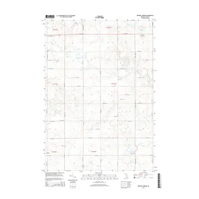
 2019 Browns Corners2019 Print · USGSCovers Grant Township, including Sheridan Township, Arthur Township, and other nearby areas
 - 2019 Map of Loomis, 2019 Print
 2019 Loomis2019 Print · USGSCovers Grant Township, including Clare, Sheridan Township, and other nearby areas
 - 2019 Map of Hatton, 2019 Print
 2019 Hatton2019 Print · USGSCovers Grant Township, including Hatton, Greenwood Township, and other nearby areas
 - 2019 Map of Clare, 2019 Print
 2019 Clare2019 Print · USGSCovers Grant Township, including Clare, Farwell, and other nearby areas
 - 2023 Map of Browns Corners, 2023 Print
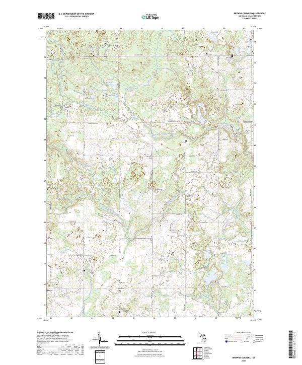 2023 Browns Corners2023 Print · USGSCentral Michigan's river-fed woodlands and small lakes are documented here as they appear in the early 2020s. Researchers can trace local heritage through numerous rural landmarks like Ott Cem, Thompson Cem, and the settlement of Dover.
 - 2023 Map of Loomis, 2023 Print
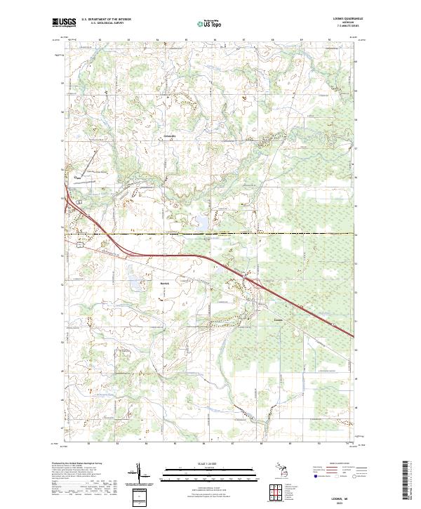 2023 Loomis2023 Print · USGSIsabella and Clare Counties meet here in recent years, where the drainage of the Tobacco River basin shapes the local farming economy. Researchers can trace family sites near Loomis, locate the Wise Cem, or study the corridor of the Pere Marquette Rd.
 - 2023 Map of Hatton, 2023 Print
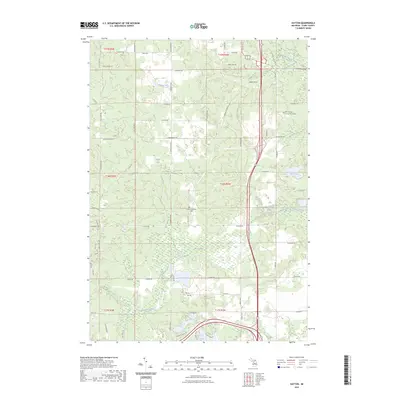 2023 Hatton2023 Print · USGSClare County's interior is documented here in the early 2020s, revealing a landscape where glacial lakes and wetlands dictate the local geography. Researchers can trace the path of the Harrison RR Grade or locate family sites at the Hatton Township Cem.
 - 2023 Map of Clare, 2023 Print
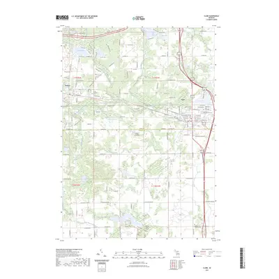 2023 Clare2023 Print · USGSClare and Farwell sit at a historic crossroads in central Michigan, where water and rail once drove local industry. Trace family sites at Surrey Township Cem or Cherry Grove Cem, and follow the old rail corridor now known as the Pere Marquette State Trl.
End of results
Showing maps 1-20 of 20
Top cities near Grant Township
- Clare historical maps
- Harrison historical maps
- Wise historical maps
- Coleman historical maps
- Lake Isabella historical maps
- Hatton historical maps
See more
Top neighborhoods of Grant Township
Frequently asked questions
- What are the different types of historical maps available for Grant Township?
- What is the oldest map of Grant Township?
- Where can I purchase historical maps of Grant Township for my home or office?
- Where can I download high-res historical maps of Grant Township?
- Are there historical topographic maps available for Grant Township?
- Is there historical aerial imagery available for Grant Township?
- Where are historical maps of Grant Township sourced from?