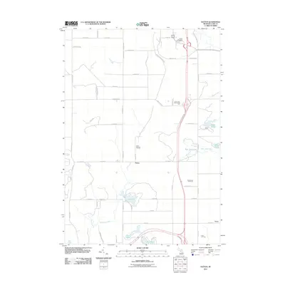
2011 Map of Hatton
USGS Topo · Published 2011About this map
Hatton and the surrounding township appear here in the early 21st century, characterized by a transition from agricultural grid roads to the recreational landscapes of central Michigan. The map documents local genealogy and community hubs, specifically the Hatton Township Cemetery and the settlement of Dover in the southeast corner. The terrain is defined by a dense network of water bodies, including Loon Lake, West Trout Lake, and the winding Middle Branch Tobacco River.
Find a feature on this map
63 named features on this map. Tap any name to fly to it.
Don’t see what you’re looking for? This feature index may not catch every label — zoom into the map to look around manually.
Map Details
Editions of this 2011 Hatton Map
This is the sole edition of this map. No revisions or reprints were ever made.
Other maps of this area

1954 · Traverse City
USGS Topo · 1:250,000

1954 · Midland
USGS Topo · 1:250,000

1957 · Harrison
USGS Topo · 1:62,500

1958 · Traverse City
USGS Topo · 1:250,000

1958 · Midland
USGS Topo · 1:250,000

1959 · Midland
USGS Topo · 1:250,000

1959 · Clare
USGS Topo · 1:62,500

1966 · Midland
USGS Topo · 1:250,000

1969 · Meredith SW
USGS Topo · 1:24,000
1969 · Browns Corners
USGS Topo · 1:24,000