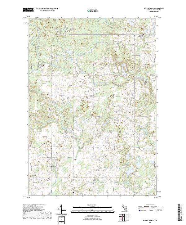
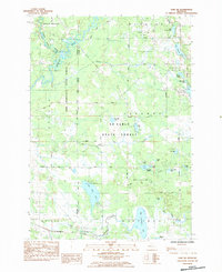
2023 Map of Browns Corners
USGS Topo · Published 2023About this map
The North Branch Tobacco River and Middle Branch Tobacco River systems define the drainage of this central Michigan landscape, flowing eastward through a mosaic of small lakes and woodlands. The small settlement of Dover anchors the southwestern corner, while the surrounding countryside is dotted with legacy burial grounds such as Ott Cem and Arthur Cem, which serve as vital landmarks for genealogists researching the early families of Clare County.
Find a feature on this map
65 named features on this map. Tap any name to fly to it.
Don’t see what you’re looking for? This feature index may not catch every label — zoom into the map to look around manually.
Map Details
Editions of this 2023 Browns Corners Map
This is the sole edition of this map. No revisions or reprints were ever made.
Historical Maps of Grant Township Through Time
14 maps found
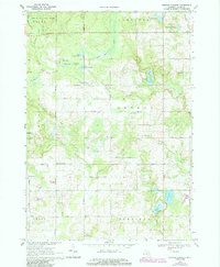
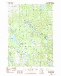
1969 Browns Corners
Clare County, MI
1969 Meredith SW
Clare County, MI
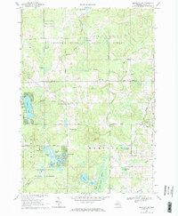
1983 Hatton
Clare County, MI
1983 Lake George
Clare County, MI
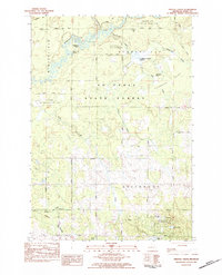
1983 Prestle Creek
Clare County, MI
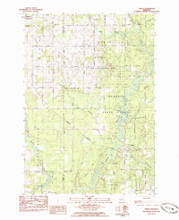
1983 Temple
Clare County, MI
1984 Lake NE
Clare County, MI
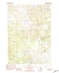
2023 Browns Corners
Clare County, MI
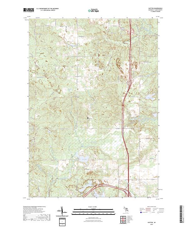
2023 Hatton
Clare County, MI
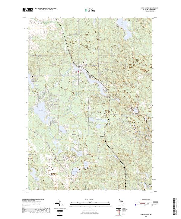
2023 Lake George
Clare County, MI
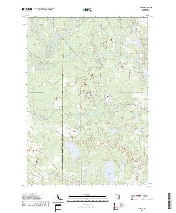
2023 Lake NE
Clare County, MI
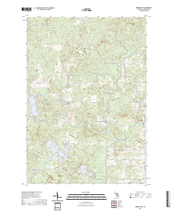
2023 Meredith SW
Clare County, MI
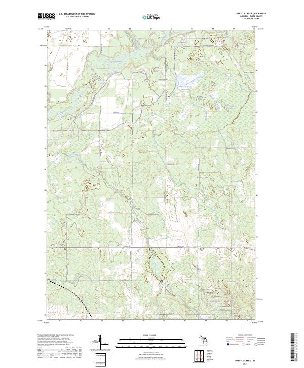
2023 Prestle Creek
Clare County, MI
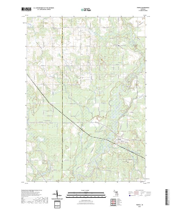
2023 Temple
Clare County, MI
Featured Locations
- Arthur Township, MI
- Grant Township, MI
- Hamilton Township, MI
- Sheridan Township, MI
- Dover, Grant Township