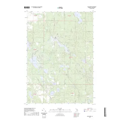
2023 Map of Lake George
USGS Topo · Published 2023About this map
Lake George serves as a primary settlement point in this section of Clare County, Michigan, characterized by a dense concentration of glacial lakes and small creeks. The landscape is defined by the proximity of several significant water bodies including Doc and Tom Lake, Townline Lake, and the connected Cranberry Lakes. The local road network, featuring routes like N Bringold Ave and Monroe Rd, reveals the residential development surrounding these water features, while the village of Phelps sits further south. For those researching local family history, the map identifies key burial sites such as Lincoln Township Cem, Freeman Township Cem, and Kilbourn Cem. This modern topographic study shows the persistent importance of the area's hydrology, from the flow of Shingle Creek to the secluded waters of Bungo Lake and Bertha Lake.
Find a feature on this map
127 named features on this map. Tap any name to fly to it.
Don’t see what you’re looking for? This feature index may not catch every label — zoom into the map to look around manually.
Map Details
Editions of this 2023 Lake George Map
This is the sole edition of this map. No revisions or reprints were ever made.
Other maps of this area

1954 · Traverse City
USGS Topo · 1:250,000

1954 · Midland
USGS Topo · 1:250,000

1957 · Harrison
USGS Topo · 1:62,500

1957 · Marion
USGS Topo · 1:62,500

1958 · Traverse City
USGS Topo · 1:250,000

1958 · Midland
USGS Topo · 1:250,000

1959 · Midland
USGS Topo · 1:250,000

1959 · Lake
USGS Topo · 1:62,500

1959 · Clare
USGS Topo · 1:62,500

1966 · Midland
USGS Topo · 1:250,000