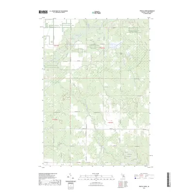
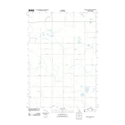
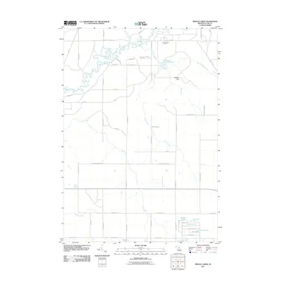
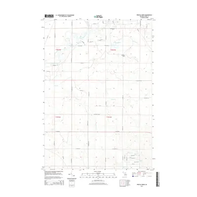
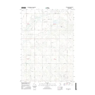
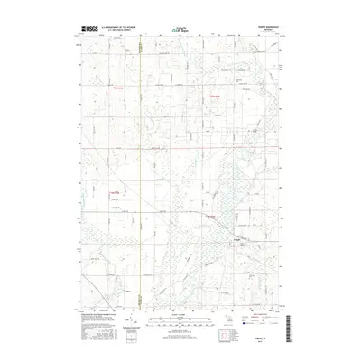
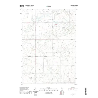
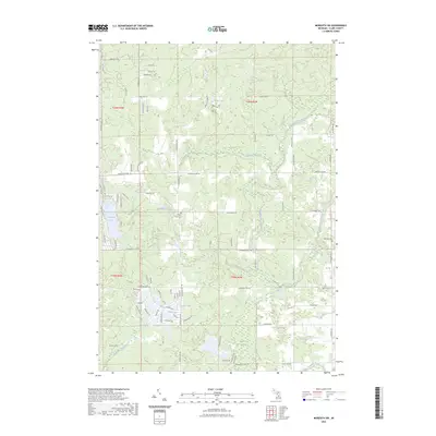
2023 Map of Prestle Creek
USGS Topo · Published 2023About this map
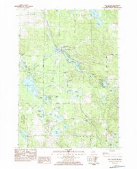
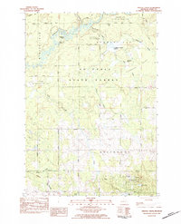
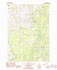
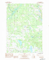
The Kirtlands Warbler Wildlife Management Area dominates this northern Michigan landscape, where a dense network of waterways defines the territory's character. The Muskegon River snakes through the northern sections, joined by distinct features like Harrington Bayou and Black Louie Bayou. This 2023 survey illustrates a region where water management and conservation are central, highlighted by the Floodwood Swamp Reservoir and the expansive Floodwood Swamp.
Find a feature on this map
64 named features on this map. Tap any name to fly to it.
Don’t see what you’re looking for? This feature index may not catch every label — zoom into the map to look around manually.
Map Details
Editions of this 2023 Prestle Creek Map
This is the sole edition of this map. No revisions or reprints were ever made.
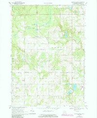
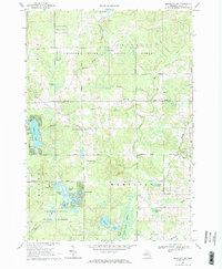
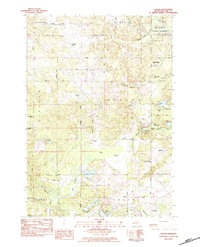
Historical Maps of Greenwood Township Through Time
42 maps found
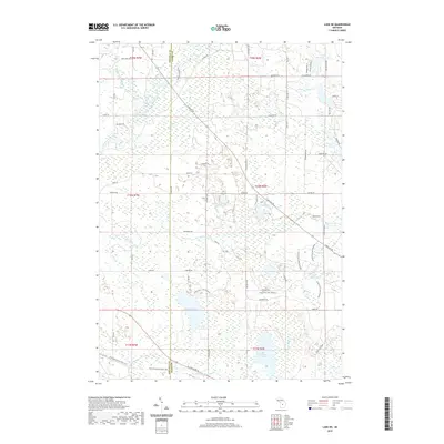
1969 Browns Corners
Clare County, MI
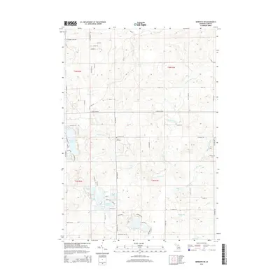
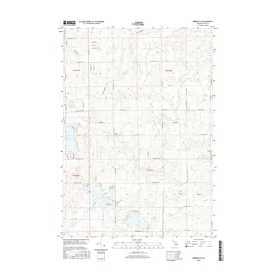
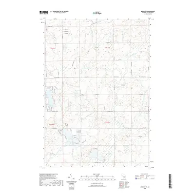
1969 Meredith SW
Clare County, MI
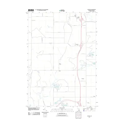
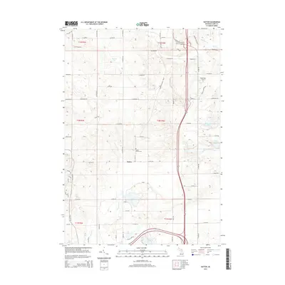
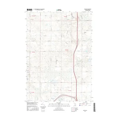
1983 Hatton
Clare County, MI
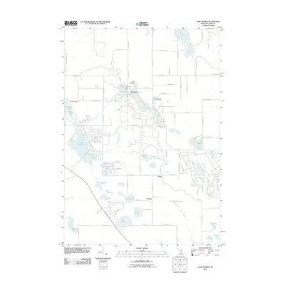
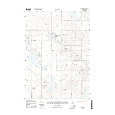
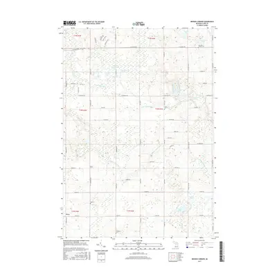
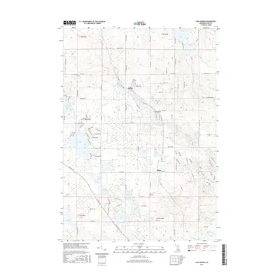
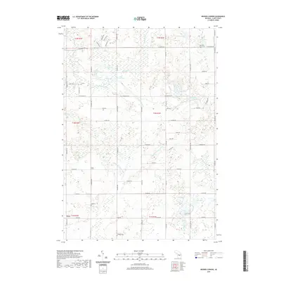
1983 Lake George
Clare County, MI
1983 Prestle Creek
Clare County, MI
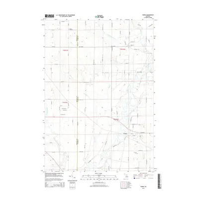
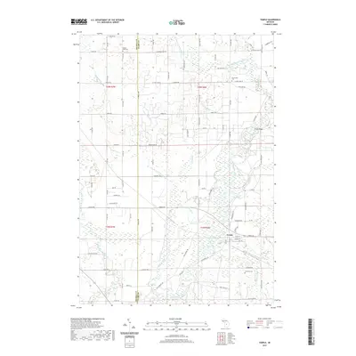
1983 Temple
Clare County, MI
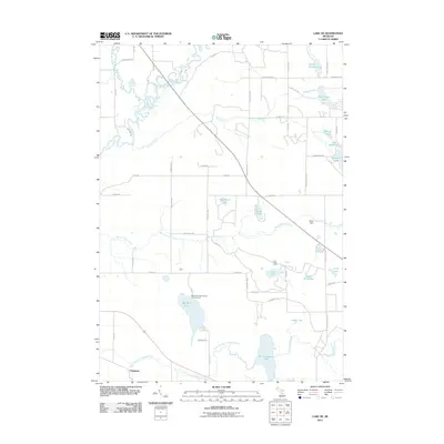
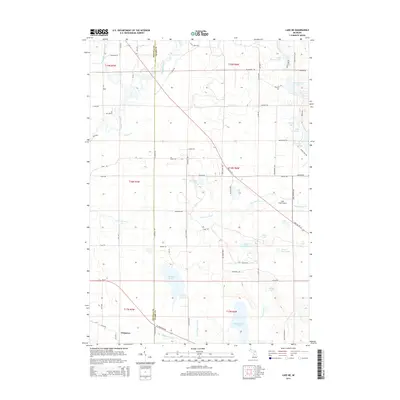
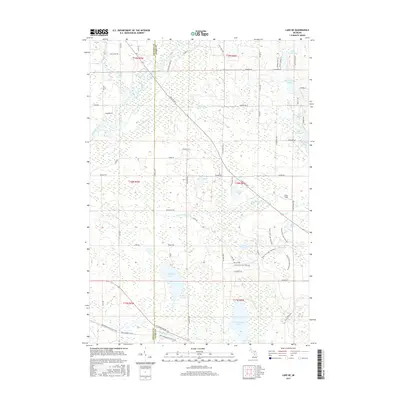
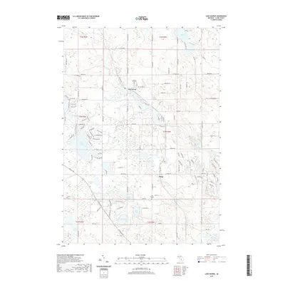
1984 Lake NE
Clare County, MI
2011 Browns Corners
Clare County, MI
2011 Hatton
Clare County, MI
2011 Lake George
Clare County, MI
2011 Lake NE
Clare County, MI
2011 Meredith SW
Clare County, MI
2011 Prestle Creek
Clare County, MI
2011 Temple
Clare County, MI
2014 Browns Corners
Clare County, MI
2014 Hatton
Clare County, MI
2014 Lake George
Clare County, MI
2014 Lake NE
Clare County, MI
2014 Meredith SW
Clare County, MI
2014 Prestle Creek
Clare County, MI
2014 Temple
Clare County, MI
2017 Browns Corners
Clare County, MI
2017 Hatton
Clare County, MI
2017 Lake George
Clare County, MI
2017 Lake NE
Clare County, MI
2017 Meredith SW
Clare County, MI
2017 Prestle Creek
Clare County, MI
2017 Temple
Clare County, MI
2019 Browns Corners
Clare County, MI
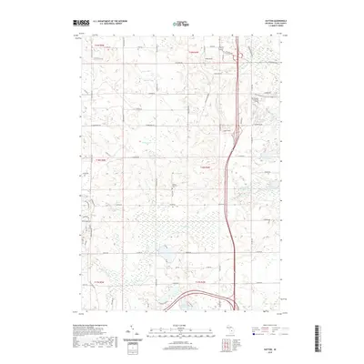
2019 Hatton
Clare County, MI
2019 Lake George
Clare County, MI
2019 Lake NE
Clare County, MI
2019 Meredith SW
Clare County, MI
2019 Prestle Creek
Clare County, MI
2019 Temple
Clare County, MI
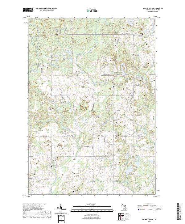
2023 Browns Corners
Clare County, MI
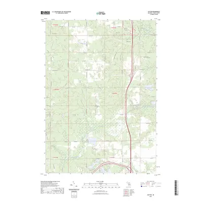
2023 Hatton
Clare County, MI
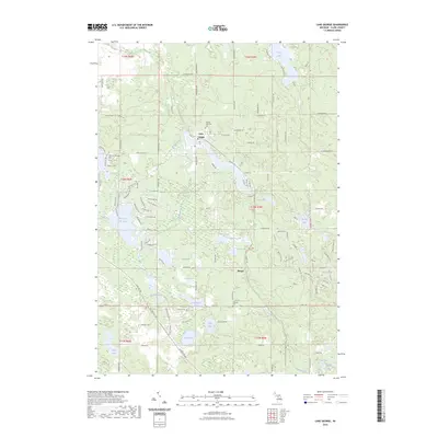
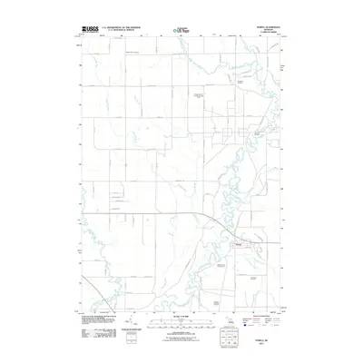
2023 Lake George
Clare County, MI
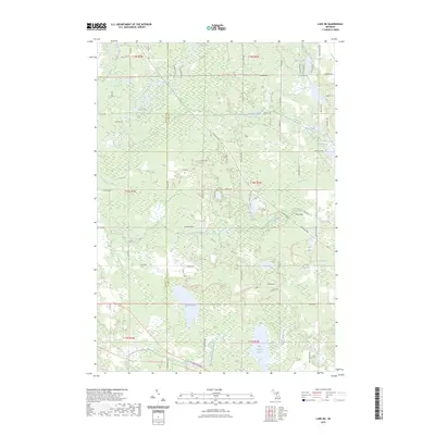
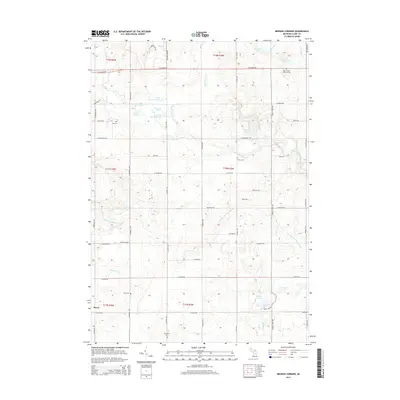
2023 Lake NE
Clare County, MI
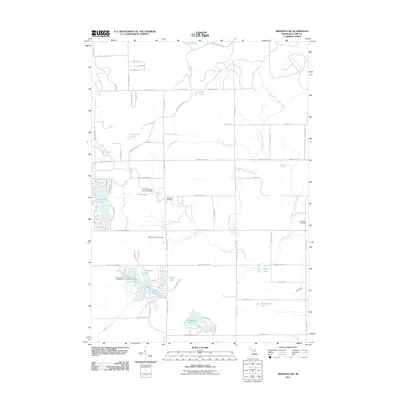
2023 Meredith SW
Clare County, MI
2023 Prestle Creek
Clare County, MI
2023 Temple
Clare County, MI
Featured Locations
- Clare County, MI
- Winterfield Township, MI
- Greenwood Township, MI
- Redding Township, MI
- Summerfield Township, MI