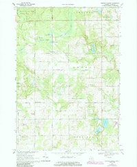
1969 Map of Browns Corners
USGS Topo · Published 1985About this map
Chippewa River State Forest blankets the northwestern corner of this Clare County landscape, where the Tobacco River and its multiple branches create a complex drainage network. The area’s late-nineteenth-century timber and transport roots are evidenced by the Old Railroad Grade cutting across Hayes township. At the crossroads of Browns Corners and the settlement of Dover, small-scale rural life is documented through a dense distribution of local institutions including St Johns Ch, Eagle Ch, and the Arthur Center Ch. The map captures a transition toward specialized land use, with numerous Gravel Pits appearing alongside traditional family cemeteries like Ott Cem and Thompson Cem. Water bodies such as Bailey Lake and Drachenburg Lake punctuate the township boundaries, illustrating the glacial topography of central Michigan before modern suburban development altered these rural corridors.
Find a feature on this map
50 named features on this map. Tap any name to fly to it.
Don’t see what you’re looking for? This feature index may not catch every label — zoom into the map to look around manually.
Map Details
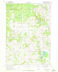
Editions of this 1969 Browns Corners Map
2 editions found
Other maps of this area

1954 · Traverse City
USGS Topo · 1:250,000

1954 · Midland
USGS Topo · 1:250,000

1957 · Harrison
USGS Topo · 1:62,500

1958 · Traverse City
USGS Topo · 1:250,000

1958 · Midland
USGS Topo · 1:250,000

1959 · Midland
USGS Topo · 1:250,000

1959 · Clare
USGS Topo · 1:62,500

1966 · Midland
USGS Topo · 1:250,000

1969 · Meredith SW
USGS Topo · 1:24,000

1969 · Coleman
USGS Topo · 1:24,000