Old Maps of Lovells Township, Michigan for Academic Research
Study the evolution of Lovells Township with 38 high-resolution historic maps. Whether you're teaching, researching, or modeling changes in land use, these maps provide essential visual documentation of urban, environmental, and geographic change.
- Analyze long-term change: Track patterns in development, transportation, and natural features.
- Ideal for environmental or urban studies: Support academic projects with primary historical map data.
- Use in the classroom or lab: Educators and researchers rely on these maps to bring historical context to life.
These maps are a powerful tool for teaching, research, and visualizing how Lovells Township has changed over the decades.
Lovells Township, MI maps
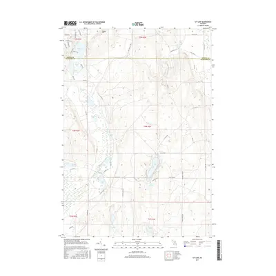
(38)- 1949 Map of Lewiston, 1954 Print
 1949 Lewiston1954 Print · USGSNorthern Michigan’s timber and sporting heritage is on full display here during the late nineteen-forties. Researchers can trace the Michigan Meridian, locate family sites at the Lovells Cemetery, or find old camps like the Au Sable Trout & Gun Club.2 unique versions available
 - 1949 Map of Otsego Lake, 1954 Print
 1949 Otsego Lake1954 Print · USGSOtsego and Crawford Counties were transitioning from a logging past to a recreational and military future at the decade's end. Researchers can trace lakeside developments like Arbutus Beach and the old rail corridor of the New York Central.2 unique versions available
 - 1950 Map of Comstock Hills, 1973 Print
 1950 Comstock Hills1973 Print · USGSThe northern lower peninsula comes alive in the fifties as a premier outdoor destination. Trace the development of lakeside retreats like Birchwood Beach or locate the Comstock Fire Tower and the Indian Village Boys Camp deep in the woods.3 unique versions available
 - 1950 Map of Lovells, 1977 Print
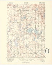
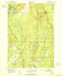
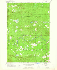
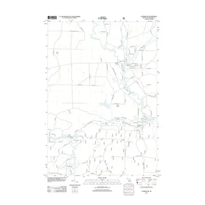
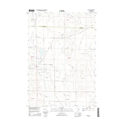
 1950 Lovells1977 Print · USGSCrawford County and the Au Sable River valley are captured at mid-century, just as the region’s outdoor sporting culture was firmly established. Researchers can trace family sites at Lovells, locate the Lovells Cemetery, or explore the boundaries of Camp Grayling.2 unique versions available
 - 1951 Map of K P Lake
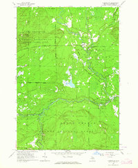
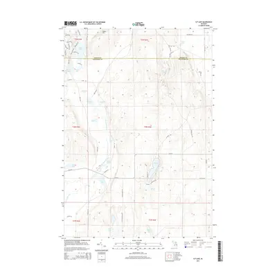
 1951 K P Lake1951 Print · USGSCrawford County's military and forest lands are captured here during the early fifties, showing the expansive training grounds of the Michigan National Guard. Researchers can trace the winding Au Sable River and locate remote landmarks like Camp Grayling, K P Lake, and Bear Lake.3 unique versions available
 - 1951 Map of Comstock Hills
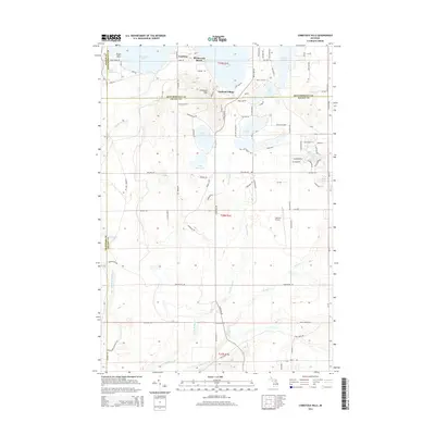
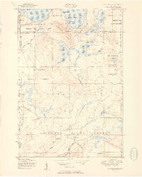 1951 Comstock Hills1951 Print · USGSOscoda County was a prime destination for postwar tourism in the early fifties, characterized by a dense network of lakeside retreats and hunting camps. You can trace the development of Garland Village or locate secluded spots like Birdhaven Resort and Werners Hotel.2 unique versions available
 - 1951 Map of Lovells
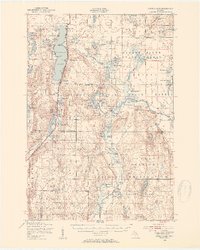
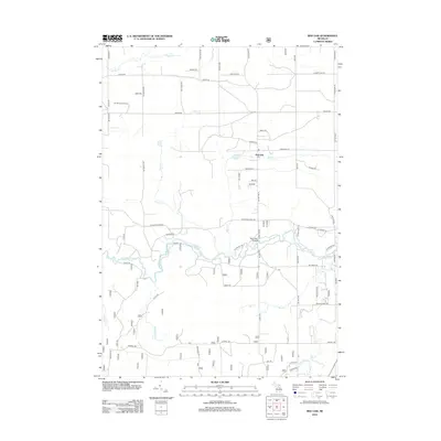
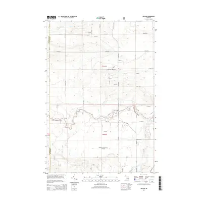
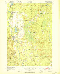 1951 Lovells1951 Print · USGSCrawford County's river-driven landscape is captured here in the early fifties, showing the area's growth as a sporting and military hub. Genealogists and historians can trace Lovells town sites like the Community Chapel and Lovells Cemetery alongside the North Branch Au Sable River.2 unique versions available
 - 1954 Map of Traverse City, 1965 Print
 1954 Traverse City1965 Print · USGSNorthern Michigan’s vast lakeshores and timberlands are captured here in the mid-fifties, showing the region before the modern interstate era. Genealogists and researchers can trace rail connections like the Detroit and Mackinac RR or find old communities such as Suttons Bay, Elk Rapids, and Prudenville.4 unique versions available
 - 1958 Map of Traverse City
 1958 Traverse City1958 Print · USGSNorthern Lower Michigan was a landscape of vast state forests and burgeoning lakeside retreats in the late fifties. Genealogists and historians can trace the rail corridors of the Ann Arbor RR and find established settlements from Elk Rapids to Houghton Lake.2 unique versions available
 - 1963 Map of Luzerne NW, 1964 Print
 1963 Luzerne NW1964 Print · USGSCrawford County was a hub of military activity and river navigation in the early sixties, dominated by the meeting of the Au Sable forks. Researchers can locate specific river landmarks like McMasters Bridge and Mason Landing Field within the Camp Grayling Military Reservation.4 unique versions available
 - 1963 Map of Red Oak, 1964 Print
 1963 Red Oak1964 Print · USGSOscoda and Crawford counties come to life in the early sixties, showing the vast forest lands along the Au Sable River. Local historians can trace old routes across Parmalee Bridge or locate the site of the Elk Hill Lookout Tower and the settlement at Red Oak.2 unique versions available
 - 1983 Map of Grayling, 1984 Print
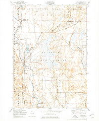
 1983 Grayling1984 Print · USGSIn the early eighties, this Northern Michigan interior was a hub for forestry, military training, and river recreation. Researchers can trace the sprawling boundaries of Camp Grayling and locate historic markers like Hartwick Pines and Otsego Lake.2 unique versions available
 - 1989 Map of Traverse City, 1990 Print
 1989 Traverse City1990 Print · USGSNorthern Michigan’s lake-country and forest lands are captured in the late eighties as seasonal tourism and timber hubs expanded. Genealogists and historians can trace the routes of the Ann Arbor RR, the boundaries of Camp Grayling, and settlements like Elk Rapids and Manton.
 - 2011 Map of Lovells, 2011 Print
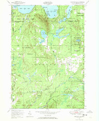
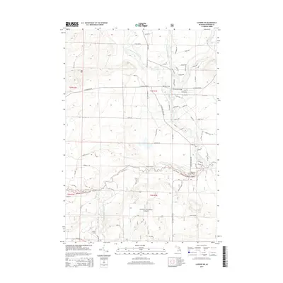
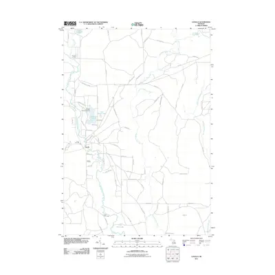 2011 Lovells2011 Print · USGSCovers Lovells Township, including Lovells, Chester Township, and other nearby areas
 - 2011 Map of Comstock Hills, 2011 Print
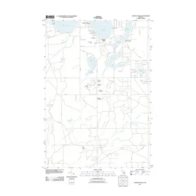 2011 Comstock Hills2011 Print · USGSCovers Lovells Township, including Albert Township, Elmer Township, and other nearby areas
 - 2011 Map of K P Lake, 2011 Print
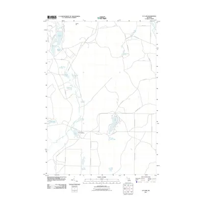 2011 K P Lake2011 Print · USGSCovers Lovells Township, including Chester Township, Maple Forest Township, and other nearby areas
 - 2012 Map of Luzerne NW, 2012 Print
 2012 Luzerne NW2012 Print · USGSCovers Lovells Township, including Grayling Charter Township, South Branch Township, and other nearby areas
 - 2012 Map of Red Oak, 2012 Print
 2012 Red Oak2012 Print · USGSCovers Lovells Township, including Big Creek Township, Elmer Township, and other nearby areas
 - 2014 Map of Comstock Hills, 2014 Print
 2014 Comstock Hills2014 Print · USGSCovers Lovells Township, including Albert Township, Elmer Township, and other nearby areas
 - 2014 Map of K P Lake, 2014 Print
 2014 K P Lake2014 Print · USGSCovers Lovells Township, including Chester Township, Maple Forest Township, and other nearby areas
 - 2014 Map of Lovells, 2014 Print
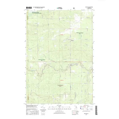
 2014 Lovells2014 Print · USGSCovers Lovells Township, including Lovells, Chester Township, and other nearby areas
 - 2014 Map of Red Oak, 2014 Print
 2014 Red Oak2014 Print · USGSCovers Lovells Township, including Big Creek Township, Elmer Township, and other nearby areas
 - 2014 Map of Luzerne NW, 2014 Print
 2014 Luzerne NW2014 Print · USGSCovers Lovells Township, including Grayling Charter Township, South Branch Township, and other nearby areas
 - 2017 Map of Red Oak, 2017 Print
 2017 Red Oak2017 Print · USGSCovers Lovells Township, including Big Creek Township, Elmer Township, and other nearby areas
 - 2017 Map of K P Lake, 2017 Print
 2017 K P Lake2017 Print · USGSCovers Lovells Township, including Chester Township, Maple Forest Township, and other nearby areas
Showing maps 1-25 of 38
Top cities near Lovells Township
- Gaylord historical maps
- Otsego Lake historical maps
- Grayling historical maps
- Lewiston historical maps
- Lovells historical maps
Top neighborhoods of Lovells Township
Frequently asked questions
- What are the different types of historical maps available for Lovells Township?
- What is the oldest map of Lovells Township?
- Where can I purchase historical maps of Lovells Township for my home or office?
- Where can I download high-res historical maps of Lovells Township?
- Are there historical topographic maps available for Lovells Township?
- Is there historical aerial imagery available for Lovells Township?
- Where are historical maps of Lovells Township sourced from?