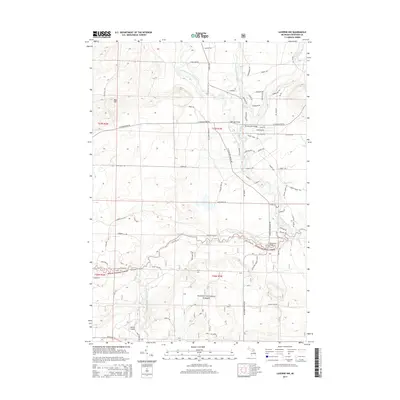
2014 Map of Luzerne NW
USGS Topo · Published 2014About this map
The Huron National Forest dominates this section of Crawford County, where the intricate drainage system of the Au Sable River basin defines the landscape. The North Branch Au Sable River meanders across the central and eastern portions, joined by tributaries such as Barker Cr, Carter Cr, and Gummey Cr. This area is characterized by its dense network of named forest trails and fire roads, including S Connors Marsh Trl and Spencer Trl, which provide access to the timberlands.
Find a feature on this map
83 named features on this map. Tap any name to fly to it.
Don’t see what you’re looking for? This feature index may not catch every label — zoom into the map to look around manually.
Map Details
Editions of this 2014 Luzerne NW Map
This is the sole edition of this map. No revisions or reprints were ever made.
Other maps of this area

1949 · Lewiston
USGS Topo · 1:62,500

1949 · Otsego Lake
USGS Topo · 1:62,500

1949 · Grayling
USGS Topo · 1:62,500

1950 · Comstock Hills
USGS Topo · 1:24,000

1950 · Lovells
USGS Topo · 1:24,000

1950 · Roscommon North
USGS Topo · 1:24,000

1951 · K P Lake
USGS Topo · 1:24,000

1951 · Comstock Hills
USGS Topo · 1:24,000

1951 · Lovells
USGS Topo · 1:24,000

1951 · Wakeley Lake
USGS Topo · 1:24,000
Featured Places
- Lovells Township, MI
- Grayling Charter Township, MI
- South Branch Township, MI
- Crawford County, MI
- United States