2000s (21st Century) Maps of Breitung Township, Michigan
Explore 25 historic maps of Breitung Township from the 2000s (21st Century). These maps offer a rare glimpse into what life looked like during the 2000s — showing old roads, neighborhoods, homes, and landmarks that have changed or disappeared over time.
Whether you're researching your family's past, planning a metal detecting trip, or studying how Breitung Township's landscape evolved across the 2000s, these high-resolution maps are a powerful tool for exploring the history of this region.
- Focus on a specific era: All maps on this page are from the 2000s, giving you a focused view of this time period.
- See what’s changed: Compare century-old streets, trails, and buildings to today's modern landscape using overlays and satellite layers.
- Research with precision: Use these maps for genealogy, historical research, land use analysis, or educational projects.
- View, download, or print: Maps are fully viewable online in high resolution, and can be downloaded or printed for your own records.
Start exploring Breitung Township's history through authentic maps from the 2000s. This is your window into the past.
Breitung Township, MI maps
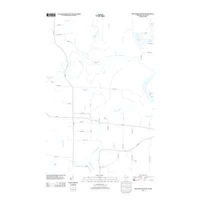
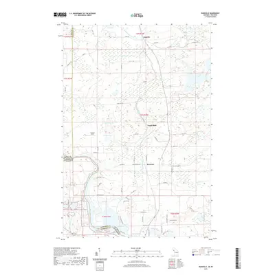
(25)- 2011 Map of Randville, 2011 Print
 2011 Randville2011 Print · USGSCovers Breitung Township, including Florence, Mastodon Township, and other nearby areas
 - 2011 Map of Iron Mountain SW, 2011 Print
 2011 Iron Mountain SW2011 Print · USGSCovers Breitung Township, including Kingsford, Aurora, and other nearby areas
 - 2011 Map of Iron Mountain, 2011 Print
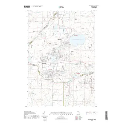
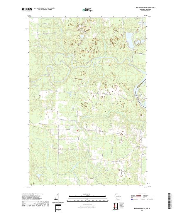
 2011 Iron Mountain2011 Print · USGSCovers Breitung Township, including Iron Mountain, Kingsford, and other nearby areas
 - 2011 Map of Carney Lake, 2011 Print
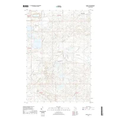
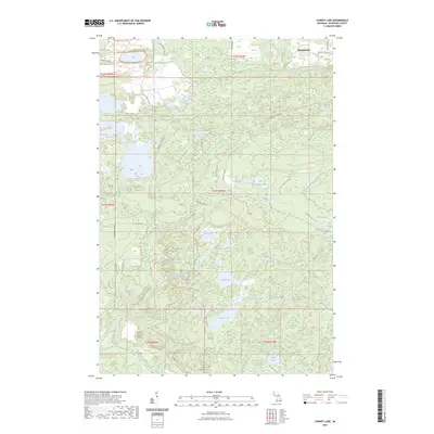
 2011 Carney Lake2011 Print · USGSCovers Breitung Township, including Metropolitan, Felch Township, and other nearby areas
 - 2011 Map of Norway, 2011 Print
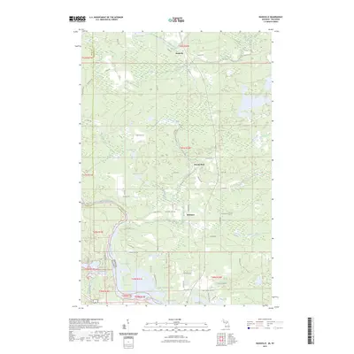
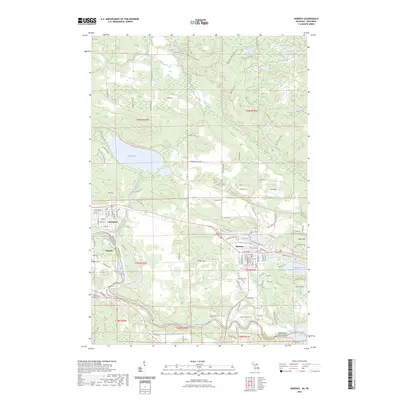
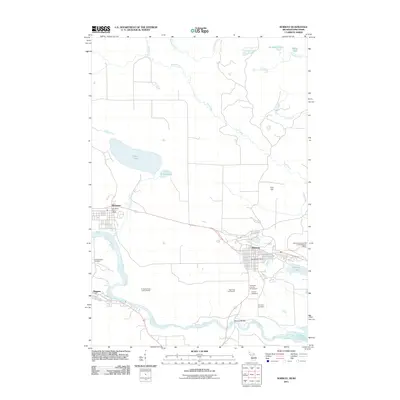 2011 Norway2011 Print · USGSCovers Breitung Township, including Norway, Niagara, and other nearby areas
 - 2013 Map of Iron Mountain SW, 2013 Print
 2013 Iron Mountain SW2013 Print · USGSCovers Breitung Township, including Kingsford, Aurora, and other nearby areas
 - 2014 Map of Randville, 2014 Print
 2014 Randville2014 Print · USGSCovers Breitung Township, including Florence, Mastodon Township, and other nearby areas
 - 2014 Map of Iron Mountain, 2014 Print
 2014 Iron Mountain2014 Print · USGSCovers Breitung Township, including Iron Mountain, Kingsford, and other nearby areas
 - 2014 Map of Carney Lake, 2014 Print
 2014 Carney Lake2014 Print · USGSCovers Breitung Township, including Metropolitan, Felch Township, and other nearby areas
 - 2014 Map of Norway, 2014 Print
 2014 Norway2014 Print · USGSCovers Breitung Township, including Norway, Niagara, and other nearby areas
 - 2015 Map of Iron Mountain SW, 2015 Print
 2015 Iron Mountain SW2015 Print · USGSCovers Breitung Township, including Kingsford, Aurora, and other nearby areas
 - 2017 Map of Carney Lake, 2017 Print
 2017 Carney Lake2017 Print · USGSCovers Breitung Township, including Metropolitan, Felch Township, and other nearby areas
 - 2017 Map of Randville, 2017 Print
 2017 Randville2017 Print · USGSCovers Breitung Township, including Florence, Mastodon Township, and other nearby areas
 - 2017 Map of Norway, 2017 Print
 2017 Norway2017 Print · USGSCovers Breitung Township, including Norway, Niagara, and other nearby areas
 - 2017 Map of Iron Mountain, 2017 Print
 2017 Iron Mountain2017 Print · USGSCovers Breitung Township, including Iron Mountain, Kingsford, and other nearby areas
 - 2018 Map of Iron Mountain SW, 2018 Print
 2018 Iron Mountain SW2018 Print · USGSCovers Breitung Township, including Kingsford, Aurora, and other nearby areas
 - 2019 Map of Carney Lake, 2019 Print
 2019 Carney Lake2019 Print · USGSCovers Breitung Township, including Metropolitan, Felch Township, and other nearby areas
 - 2019 Map of Norway, 2019 Print
 2019 Norway2019 Print · USGSCovers Breitung Township, including Norway, Niagara, and other nearby areas
 - 2019 Map of Randville, 2019 Print
 2019 Randville2019 Print · USGSCovers Breitung Township, including Florence, Mastodon Township, and other nearby areas
 - 2019 Map of Iron Mountain, 2019 Print
 2019 Iron Mountain2019 Print · USGSCovers Breitung Township, including Iron Mountain, Kingsford, and other nearby areas
 - 2022 Map of Iron Mountain SW, 2022 Print
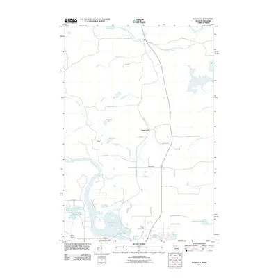
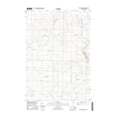
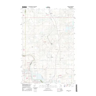
 2022 Iron Mountain SW2022 Print · USGSFlorence County and the Michigan border are captured here in the early twenty-first century, showing a landscape of river valleys and glacial lakes. Genealogists can trace family footprints along Knutson Rd and Westman Rd near the Aurora Cem.
 - 2023 Map of Carney Lake, 2023 Print
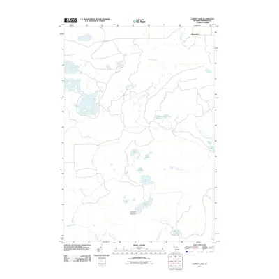
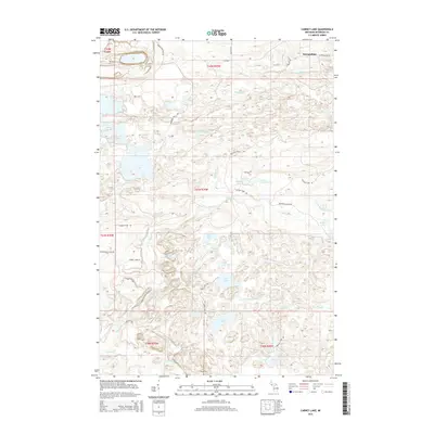
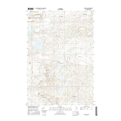
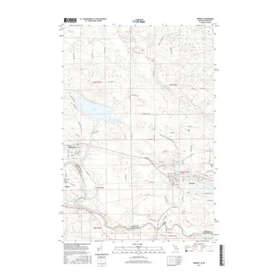
 2023 Carney Lake2023 Print · USGSThe northern woods of Dickinson County are captured here in the early 2020s, showing a landscape shaped by historical mining and modern recreation. Researchers can trace old industrial routes like Calumet Mine Rd or explore the shores of Carney Lake and Benton Lake.
 - 2023 Map of Randville, 2023 Print
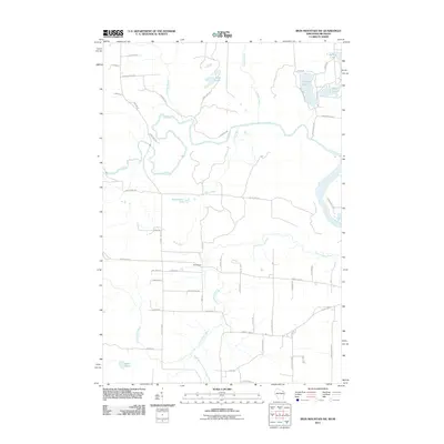
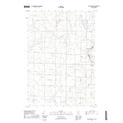
 2023 Randville2023 Print · USGSUpper Peninsula Michigan and northern Wisconsin meet along the winding Menominee River in this recent survey. Researchers can trace the rural landscape between Randville and Merriman, featuring the Spread Eagle Chain of Lakes and many family-named roads.
 - 2023 Map of Norway, 2023 Print
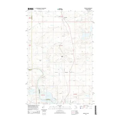
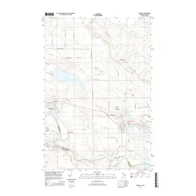
 2023 Norway2023 Print · USGSThe Michigan and Wisconsin borderlands come alive in the early twenty-first century, centered on the river-bend settlements of Norway and Niagara. Researchers can trace the wild course of the Menominee River past Piers Gorge Falls and locate local landmarks like Fumee Lake and Iron Hill.
 - 2023 Map of Iron Mountain, 2023 Print
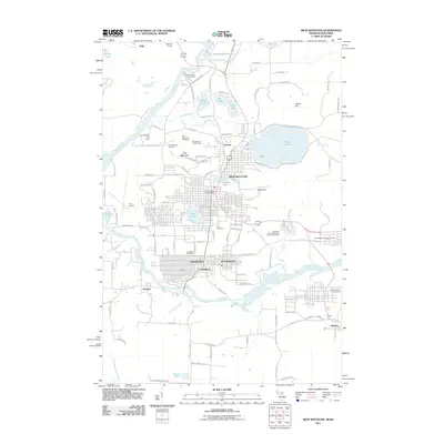
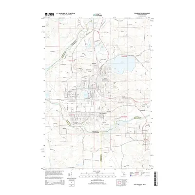
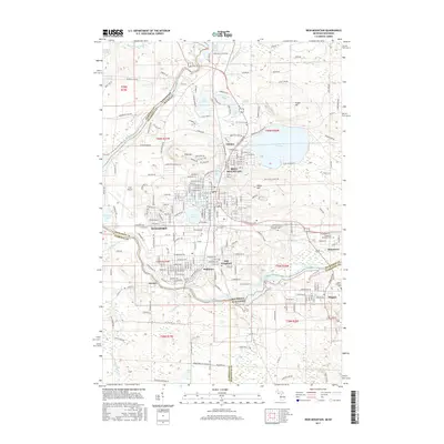
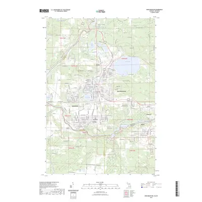 2023 Iron Mountain2023 Print · USGSThe Menominee River borderlands at the Michigan-Wisconsin line showcase a legacy of mining and industry in the early 2020s. Genealogists and local historians can trace civic life through sites like Chapin Mine, Kingsford High Sch, and Cem Park.
End of results
Showing maps 1-25 of 25
Top cities near Breitung Township
- Iron Mountain historical maps
- Kingsford historical maps
- Norway historical maps
- Niagara historical maps
- Dunbar historical maps
- Aurora historical maps
See more
Top neighborhoods of Breitung Township
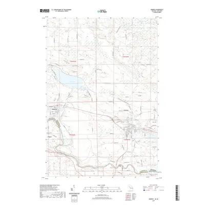
- Skidmore historical maps
- Merriman historical maps
- East Kingsford historical maps
- Granite Bluff historical maps
- Quinnesec historical maps
Frequently asked questions
- What are the different types of historical maps available for Breitung Township?
- What is the oldest map of Breitung Township?
- Where can I purchase historical maps of Breitung Township for my home or office?
- Where can I download high-res historical maps of Breitung Township?
- Are there historical topographic maps available for Breitung Township?
- Is there historical aerial imagery available for Breitung Township?
- Where are historical maps of Breitung Township sourced from?