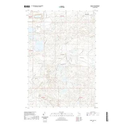
2019 Map of Carney Lake
USGS Topo · Published 2019About this map
Metropolitan anchors the northern reaches of this Dickinson County landscape, situated near the winding course of the W Br Sturgeon River. The terrain is defined by a dense network of inland waters and wetlands, ranging from the prominent Carney Lake and Rock Lake in the south to the smaller Johns Little Lake and Scott Lake central to the map. These water bodies are connected by numerous drainages, including Carney Lake Outlet and Hosking Cr.
Find a feature on this map
50 named features on this map. Tap any name to fly to it.
Don’t see what you’re looking for? This feature index may not catch every label — zoom into the map to look around manually.
Map Details
Editions of this 2019 Carney Lake Map
This is the sole edition of this map. No revisions or reprints were ever made.
Other maps of this area

1899 · Sagola
USGS Topo · 1:62,500

1939 · Iron Mountain
USGS Topo · 1:48,000

1941 · Iron Mountain
USGS Topo · 1:48,000

1947 · Iron Mountain
USGS Topo · 1:48,000

1954 · Iron Mountain
USGS Topo · 1:250,000

1954 · Escanaba
USGS Topo · 1:250,000

1955 · Norway
USGS Topo · 1:24,000

1955 · Vulcan
USGS Topo · 1:24,000

1955 · Norway
USGS Topo · 1:62,500
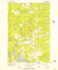
1955 · Randville
USGS Topo · 1:24,000